
Provence
Descripción

The south of France, along the Mediterranean coast, is a popular destination. Many trails cross this varied region.
Mapa

Senderos en región
- E7GPX
- GR4GPX
- GR42GPX
- GR49GPX
- GR51 - Balcons de la MéditerranéeGPX
- GR510 - Sentier des huit valléesGPX
- GR52 - Vallée des MerveillesGPX
- GR6GPX
- GR63GPX
- GR653 - Via TolosanaGPX
- GR653A - Via AureliaGPX
- GR653D - Voie d’ArlesGPX
- GR9GPX
- GR90GPX
- GR91 - Traversée du VercorsGPX
- GR92GPX
- GR97 - Tour du LuberonGPX
- GR98 - Les CalanquesGPX
- GR99 - Gorges du VerdonGPX
- GR99AGPX
Enlaces
Datos
Informes
Guías y mapas
Hospedaje
Organizaciones
Operadores turísticos
GPS
Otro
Libros

Stanfords
United Kingdom
2019
United Kingdom
2019
- Secret Provence
- Let `Secret Provence` guide you around the unusual and unfamiliar. Step off the beaten track with this fascinating Provence guide book and let our local experts show you the well-hidden treasures of an amazing region. Ideal for local inhabitants and curious travellers alike.The places included in our guides are unusual and unfamiliar, allowing... Leer más

Stanfords
United Kingdom
2015
United Kingdom
2015
- Eastern Provence: Côte d’Azur to the Alps Sunflower Landscape Guide
- This guide, half of a two-volume set, is intended for motorists who want to tour eastern Provence and the Cote d`Azur by car and enjoy some superb walks en route. The drives have been described in such detail that there is no need to make constant reference to a map. The walks selected - all set in areas of great natural beauty and historical... Leer más

Stanfords
United Kingdom
2018
United Kingdom
2018
- Drôme à pied du Vercors à la Provence 50PR
- La Drôme à pied, FFRP topo-guide Ref. No.D026, with 50 day walks of varying length and difficulty in the department of Drôme between the Rhône and the foothills of the Alps. Each walk is presented on a separate colour extract from IGN’s topographic survey of France at 1:25,000, with its description cross-referenced to the map. Looking at the... Leer más

Stanfords
United Kingdom
2021
United Kingdom
2021
- DK Eyewitness France
- Discover France`s special je ne sais quoiWhether you want to visit fairytale chateaux, stroll amid rolling fields of blossoming lavender or learn what makes a noble vintage, your DK Eyewitness travel guide makes sure you experience all that France has to offer.Few countries capture the imagination quite like France. The world-famous cuisine is... Leer más

Stanfords
United Kingdom
United Kingdom
- Rick Steves Mediterranean Cruise Ports (Fifth Edition)
- Set sail and dive into Europe`s magnificent port cities with Rick Steves Mediterranean Cruise Ports! Inside you`ll find:*Rick`s expert advice on making the most of your time on a cruise and experiencing each city, with thorough coverage of 23 ports of call*Practical travel strategies including how to choose and book your cruise, adjusting to... Leer más

Stanfords
United Kingdom
United Kingdom
- Rick Steves Best of Europe (Third Edition)
- Hit Europe`s can`t-miss art, sights, and bites with Rick Steves Best of Europe!* Expert advice from Rick Steves on what`s worth your time and money* Itineraries for one to four days in the top destinations in England, France, Germany, Italy, the Netherlands, Spain, and Switzerland* Rick`s tips for beating the crowds, skipping lines, and... Leer más
Stanfords
United Kingdom
2018
United Kingdom
2018
- La Provence Verte à pied P834
- La Provence Verte à pied, FFRP topo-guide Ref. No. P834, with 27 day walks of varying length and difficulty in the area around Brignoles. Each walk is presented on a separate colour extract from IGN’s topographic survey of France at 1:25,000, with its description cross-referenced to the map. Current edition of this title was published in May... Leer más

Stanfords
United Kingdom
United Kingdom
- Rick Steves Best of France (Third Edition)
- Hit France`s can`t-miss art, sights, and bites in two weeks or less with Rick Steves Best of France! Inside you`ll find:Strategic advice from Rick Steves on what`s worth your time and moneyShort itineraries covering the best of Paris, Normandy, the Loire, Dordogne, Provence, the French Riviera, and Burgundy, including Versailles, Nice, the... Leer más
Stanfords
United Kingdom
2017
United Kingdom
2017
- Le PNR du Haute-Jura à pied PN15
- Le Parc du Haute-Jura à pied, FFRP topo-guide Ref. No. PN15, with 41 day walks of varying length and difficulty in the French Jura, plus several two- to seven-days long tours including a section of GR9. Each day walk is presented on a separate colour extract from IGN’s topographic survey of France at 1:25,000, with its description... Leer más
Stanfords
United Kingdom
2021
United Kingdom
2021
- Les Calanques à pied - Parc National des Calanques P132
- Les Calanques à pied, FFRP topo-guide Ref. No. P132, with 28 day walks of varying length and difficulty along the coast between Marseille and La Ciotat. Each walk is presented on a separate colour extract from IGN’s topographic survey of France at 1:25,000, with its description cross-referenced to the map. Also included in this guide is a... Leer más

Stanfords
United Kingdom
United Kingdom
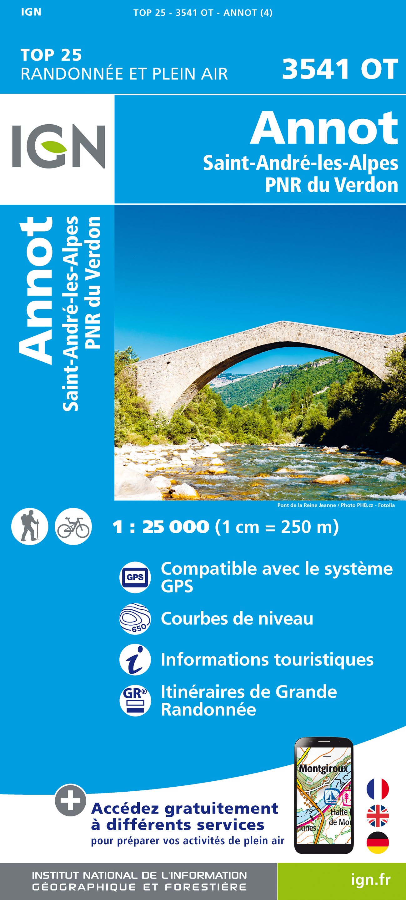
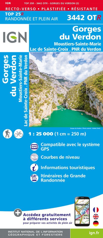
- Gorges du Verdon - Moustiers-Sainte-Marie - Lac de Ste-Croix - PNR du Verdon IGN WATERPROOF 3442OTR
- Topographic survey of France at 1:25,000 in IGN`s excellent TOP25 / Série Bleue series. All the maps are GPS compatible, with a 1km UTM grid plus latitude and longitude lines at 5’ intervals. Contours are at 5m intervals except for mountainous areas where the maps have contours at 10m intervals, vividly enhanced by hill shading and graphics for... Leer más

Stanfords
United Kingdom
United Kingdom
- Gorges du Verdon - Moustiers-Sainte-Marie - Lac de Ste-Croix - PNR du Verdon IGN 3442OT
- Topographic survey of France at 1:25,000 in IGN`s excellent TOP25 / Série Bleue series. All the maps are GPS compatible, with a 1km UTM grid plus latitude and longitude lines at 5’ intervals. Contours are at 5m intervals except for mountainous areas where the maps have contours at 10m intervals, vividly enhanced by hill shading and graphics for... Leer más

Stanfords
United Kingdom
United Kingdom
- Signes - Tourves - Massif de la Sainte-Baume IGN 3345OT
- Topographic survey of France at 1:25,000 in IGN`s excellent TOP25 / Série Bleue series. All the maps are GPS compatible, with a 1km UTM grid plus latitude and longitude lines at 5’ intervals. Contours are at 5m intervals except for mountainous areas where the maps have contours at 10m intervals, vividly enhanced by hill shading and graphics for... Leer más

Stanfords
United Kingdom
United Kingdom
- Le Lavandou - Parc National de Port Cros - Corniche des Maures IGN 3446ET
- Topographic survey of France at 1:25,000 in IGN`s excellent TOP25 / Série Bleue series. All the maps are GPS compatible, with a 1km UTM grid plus latitude and longitude lines at 5’ intervals. Contours are at 5m intervals except for mountainous areas where the maps have contours at 10m intervals, vividly enhanced by hill shading and graphics for... Leer más
Más libros…

Mapas

Stanfords
United Kingdom
United Kingdom
- Saint-Maximin-la-Sainte-Baume - Barjols - Trets - Mont Aurelien IGN 3344OT
- Topographic survey of France at 1:25,000 in IGN`s excellent TOP25 / Série Bleue series. All the maps are GPS compatible, with a 1km UTM grid plus latitude and longitude lines at 5’ intervals. Contours are at 5m intervals except for mountainous areas where the maps have contours at 10m intervals, vividly enhanced by hill shading and graphics for... Leer más

Stanfords
United Kingdom
United Kingdom
- Nice - Menton - PN du Mercantour IGN TOP100 165
- Discover the new double-sided laminated edition of TOP100 road maps of France from the Institut Géographique National (IGN); exceptionally detailed, contoured road maps which include the cycle paths and greenways of the AF3V (French Association for the Development of Cycle Paths and Greenways), ideal for exploring the French countryside by car,... Leer más

Stanfords
United Kingdom
United Kingdom
- Alps - Northern Italy MairDumont Road Atlas SPIRAL-BOUND
- Alpine Countries Road Atlas from MairDumont in an A4 spiral-bound format with street plans of 22 main towns and mapping of the whole of Europe for route planning, presented with the publisher’s innovative system of providing peel-on/peel-off stickers for making selected locations more prominent when navigating.Coverage extends from the German... Leer más

Stanfords
United Kingdom
United Kingdom
- Plateau de Valensole - Riez - Oraison - PNR du Verdon IGN 3342ET
- Topographic survey of France at 1:25,000 in IGN`s excellent TOP25 / Série Bleue series. All the maps are GPS compatible, with a 1km UTM grid plus latitude and longitude lines at 5’ intervals. Contours are at 5m intervals except for mountainous areas where the maps have contours at 10m intervals, vividly enhanced by hill shading and graphics for... Leer más

Stanfords
United Kingdom
United Kingdom
- Castellane - Lac de Castillon - PNR du Verdon IGN 3542OT
- Topographic survey of France at 1:25,000 in IGN`s excellent TOP25 / Série Bleue series. All the maps are GPS compatible, with a 1km UTM grid plus latitude and longitude lines at 5’ intervals. Contours are at 5m intervals except for mountainous areas where the maps have contours at 10m intervals, vividly enhanced by hill shading and graphics for... Leer más

Stanfords
United Kingdom
United Kingdom
- Marseille - Avignon - Camargue - Luberon - PN des Calanques IGN TOP100 171
- Discover the new double-sided laminated edition of TOP100 road maps of France from the Institut Géographique National (IGN); exceptionally detailed, contoured road maps which include the cycle paths and greenways of the AF3V (French Association for the Development of Cycle Paths and Greenways), ideal for exploring the French countryside by car,... Leer más

Stanfords
United Kingdom
United Kingdom
- Provence Cycle Routes: Arles - Nimes - Avignon - Camargue (448km) Bikeline Map/Guide ENGLISH Ed.
- Provence Cycling Guide in an English language edition from the Verlag Esterbauer with mapping at 1:75,000 highlighting 448 kms of circular routes between Arles, Nîmes, Avignon, Carpentras and Cavaillon, with a spur to the Camargue Regional Park. The maps show the route and its variants, and extensive information conveyed by symbols indicates... Leer más

Stanfords
United Kingdom
United Kingdom
- Vallée de la Vésubie - PN du Mercantour IGN 3741OT
- Topographic survey of France at 1:25,000 in IGN`s excellent TOP25 / Série Bleue series. All the maps are GPS compatible, with a 1km UTM grid plus latitude and longitude lines at 5’ intervals. Contours are at 5m intervals except for mountainous areas where the maps have contours at 10m intervals, vividly enhanced by hill shading and graphics for... Leer más

Stanfords
United Kingdom
United Kingdom
- Greoux-les-Bains - PNR du Verdon IGN 3343OT
- Topographic survey of France at 1:25,000 in IGN`s excellent TOP25 / Série Bleue series. All the maps are GPS compatible, with a 1km UTM grid plus latitude and longitude lines at 5’ intervals. Contours are at 5m intervals except for mountainous areas where the maps have contours at 10m intervals, vividly enhanced by hill shading and graphics for... Leer más

Stanfords
United Kingdom
United Kingdom
- Etang de Berre - Istres - Marignane - Martigues IGN 3144OT
- Topographic survey of France at 1:25,000 in IGN`s excellent TOP25 / Série Bleue series. All the maps are GPS compatible, with a 1km UTM grid plus latitude and longitude lines at 5’ intervals. Contours are at 5m intervals except for mountainous areas where the maps have contours at 10m intervals, vividly enhanced by hill shading and graphics for... Leer más

Stanfords
United Kingdom
United Kingdom
- Provence Wine Wall Map
- The vineyards of the Côtes du Rhône wine growing region on a map covering the area on two large panels: the southern part north of Avignon and Carpentras including Châteauneuf-du-Pape, and the northern vineyards along the Rhône between Valence and Vienne. A small additional inset covers an area between these two regions around... Leer más

Stanfords
United Kingdom
United Kingdom
- Aubagne - La Ciotat - Massif de la Sainte-Baume IGN 3245ET
- De wandelkaart die de perfectie benadert! Werkelijk alle topografische details zijn er op te vinden; van hoogtelijnen tot aan bruggetjes en allerlei wandelpaden. Daarnaast hebben de makers een flinke dosis toeristische informatie op de kaart verwerkt: campings, gites d étape; restaurants en ingetekende doorgaande wandelpaden, de grandes... Leer más

Stanfords
United Kingdom
United Kingdom
- Carpentras - Dignes-les-Bains - Mont Ventoux - PNR du Verdon - PNR du Luberon IGN TOP100 164
- Discover the new double-sided laminated edition of TOP100 road maps of France from the Institut Géographique National (IGN); exceptionally detailed, contoured road maps which include the cycle paths and greenways of the AF3V (French Association for the Development of Cycle Paths and Greenways), ideal for exploring the French countryside by car,... Leer más

- Also available from:
- De Zwerver, Netherlands
The Book Depository
United Kingdom
2022
United Kingdom
2022
- Also available from:
- De Zwerver, Netherlands
De Zwerver
Netherlands
2022
Netherlands
2022