Stanfords
United Kingdom
Stanfords
United Kingdom
» Click to open
De Zwerver
Netherlands
  • Wandelkaart Strandzha - Bulgarije | Domino
  • Strandzha Mountains in the south-eastern corner of Bulgaria between Burgas to the Turkish border on a contoured and GPS compatible map from Domino showing local hiking trails and highlighting various interesting sites, with three more detailed enlargements at 1:25,000. Most place names are in both Latin and Cyrillic alphabet; map legend... Leer más
» Click to close
Stanfords
United Kingdom
Stanfords
United Kingdom
Stanfords
United Kingdom
» Click to open
De Zwerver
Netherlands
» Click to close
Stanfords
United Kingdom
Stanfords
United Kingdom
Stanfords
United Kingdom
» Click to open
De Zwerver
Netherlands
  • Wandelkaart 2 Stara Planina gebergte | Domino
  • Stara Planina Central: Uzana to Vratnik map at 1:50,000 from Bulgarian publishers Domino, contoured and GPS compatible, with hiking trails, accommodation options including a list of local mountain refuges, etc. The map is double-sided and covers the mountains from just west of the Uzana massif, the geographical centre of Bulgaria, eastwards to... Leer más
» Click to close
Stanfords
United Kingdom
» Click to open
De Zwerver
Netherlands
» Click to close
Stanfords
United Kingdom
2016
» Click to open
De Zwerver
Netherlands
2016
  • Wandelgids The Cretan Way E4 | Anavasi
  • The Cretan Way is a 500km walking route which takes you from east to west across the varied and spectacular landscapes of Crete. It is the ideal way to discover the rural, mountainous and costal regions of this incredible island. This guide is based on a 28-day walk.This guide includes practical information, maps at a scale of 1:25.000 of... Leer más
» Click to close
Stanfords
United Kingdom
Stanfords
United Kingdom
Stanfords
United Kingdom
» Click to open
» Click to close
Stanfords
United Kingdom
» Click to open
De Zwerver
Netherlands
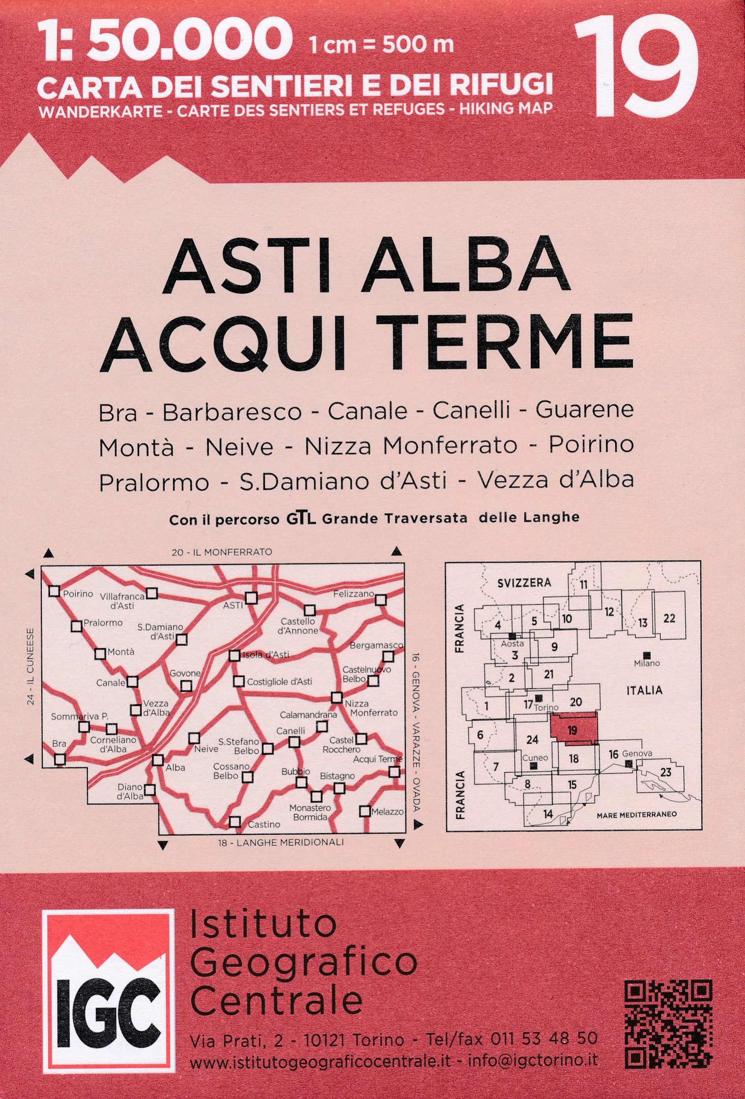
  • Wandelkaart 19 Asti, Alba, Acqui terme | IGC - Istituto Geografico Centrale
  • Asti - Alba - Acqui Terme area in a series contoured hiking maps at 1:50,000 with local trails, long-distance footpaths, mountain accommodation, etc. from the Turin based Istituto Geografico Centrale.Maps in this series have contours at 50m intervals, enhanced by shading and graphic relief. An overprint highlights local footpaths and... Leer más
» Click to close
Stanfords
United Kingdom
» Click to open
De Zwerver
Netherlands
  • Wandelkaart 24 Il Cuneese - Cuneo | IGC - Istituto Geografico Centrale
  • Il Cuneese, map no. 24, in a series contoured hiking maps at 1:50,000 with local trails, long-distance footpaths, mountain accommodation, etc. from the Turin based Istituto Geografico Centrale covering the Italian Alps and Piedmont, the lakes and northern Lombardy, and the Italian Riviera.The maps have contours at 50m intervals, enhanced by... Leer más
» Click to close