Stanfords
United Kingdom
United Kingdom
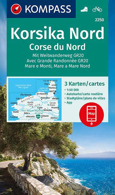
- Corsica IGN Regional NR17
- IGN publishes its new collection of regional maps including the official division of the 13 new regions. The largest regions are well represented on a single map. These maps are double sided and in 6 languages. Leer más