
Stanfords
United Kingdom
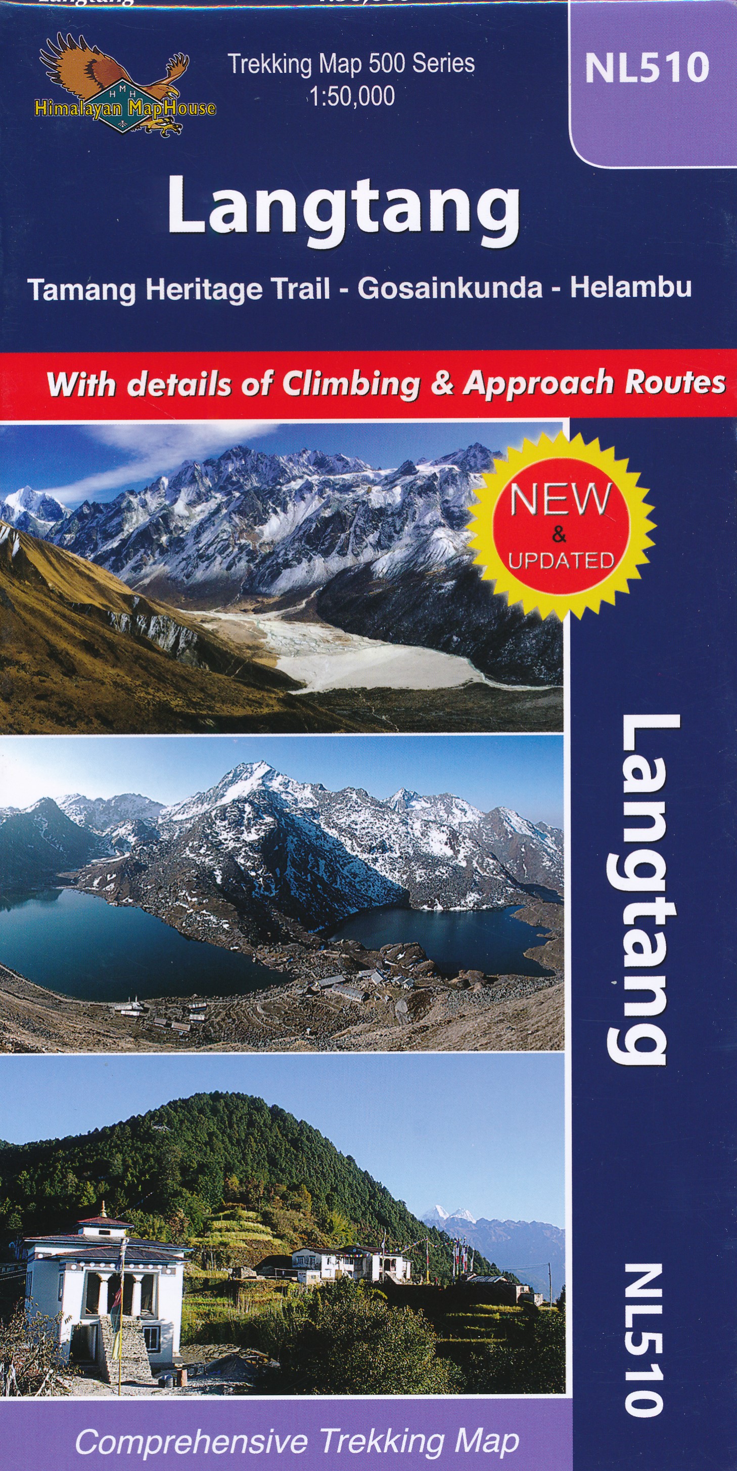
- Langtang - Tamang Heritage Trail - Gosainkunda - Helambu 50K
- Langtang - Tamang Heritage Trail - Gosainkunda – Helambu area at 1:50,000 on a double-sided, contoured and GPS compatible map from Nepa Maps/Himalayan Map House. Coverage extends from Kathmandu northwards beyond Dunche and Langtang to the peak and the Base Camp of Langtang Lirung. Contour interval is 40 metres, enhanced by relief shading and... Leer más

Stanfords
United Kingdom
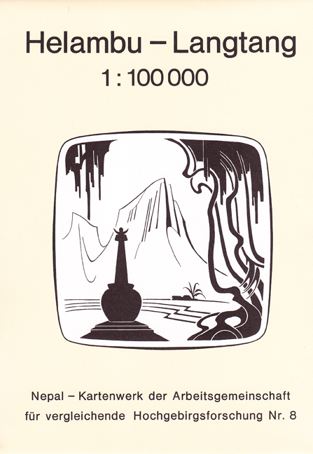
- Helambu - Langtang
- Helambu - Langtang region at 1:100,000 in a series of detailed topographic maps of selected trekking areas of Nepal originally prepared by E. Schneider and now edited by the German Scientific Association of Comparative High-Mountain Research (Arbeitsgemeinschaft für vergleichende Hochgebirgsforschung). The map covers the the Langtang valley,... Leer más

Stanfords
United Kingdom
- Langtang and Helambu Trekking Map
- The Langtang and Helambu trekking region on a map at 1:100,000 from the Kolkata/Calcutta based Milestone Books, highlighting main trekking routes and showing peaks, passes and selected locations with altitude both in metres and feet. Coverage extends from Kathmandu and Nagarkot to Kyirong in Tibet and across the peaks from the Ganesh Himal... Leer más

Stanfords
United Kingdom
- Langtang - Gosaikund & Helambu 125K
- Langtang, Gosaikund and Helambu regions of Nepal, north and north-east of Kathmandu, on a map at 1:125,000 from Nepa Maps. Coverage extends from the capital to the Tibetan border and eastwards to the Kodari border crossing. The map shows numerous trekking routes from Kathmandu, Trisuli, Melamchi and Chautara northwards towards the Langtang... Leer más

Stanfords
United Kingdom
- Langtang - Gosainkunda - Helambu - Tamang Heritage Trail (125K/25K)
- Langtang, Gosaikund and Helambu regions of Nepal, north and north-east of Kathmandu, on a double-sided map from Nepa Maps, presenting the area on one side at 1:125,000, with on the reverse the Tamang Heritage Trail shown in more detail at 1:25,000. Coverage of the main 125K map extends from the capital to the Tibetan border and eastwards to the... Leer más

Stanfords
United Kingdom
- Langtang - Gosainkunda & Helambu 125K
- Langtang, Gosaikund and Helambu regions of Nepal, north and north-east of Kathmandu, on a map at 1:125,000 from Nepa Maps. Coverage extends from the capital to the Tibetan border and eastwards to the Kodari border crossing. The map shows numerous trekking routes from Kathmandu, Trisuli, Melamchi and Chautara northwards towards the Langtang... Leer más
De Zwerver
Netherlands
De Zwerver
Netherlands
- Wandelkaart NL510 Langtang | Himalayan Maphouse
- Langtang - Tamang Heritage Trail - Gosainkunda – Helambu area at 1:50,000 on a double-sided, contoured and GPS compatible map from Nepa Maps/Himalayan Map House. Coverage extends from Kathmandu northwards beyond Dunche and Langtang to the peak and the Base Camp of Langtang Lirung. Contour interval is 40 metres, enhanced by relief shading and... Leer más