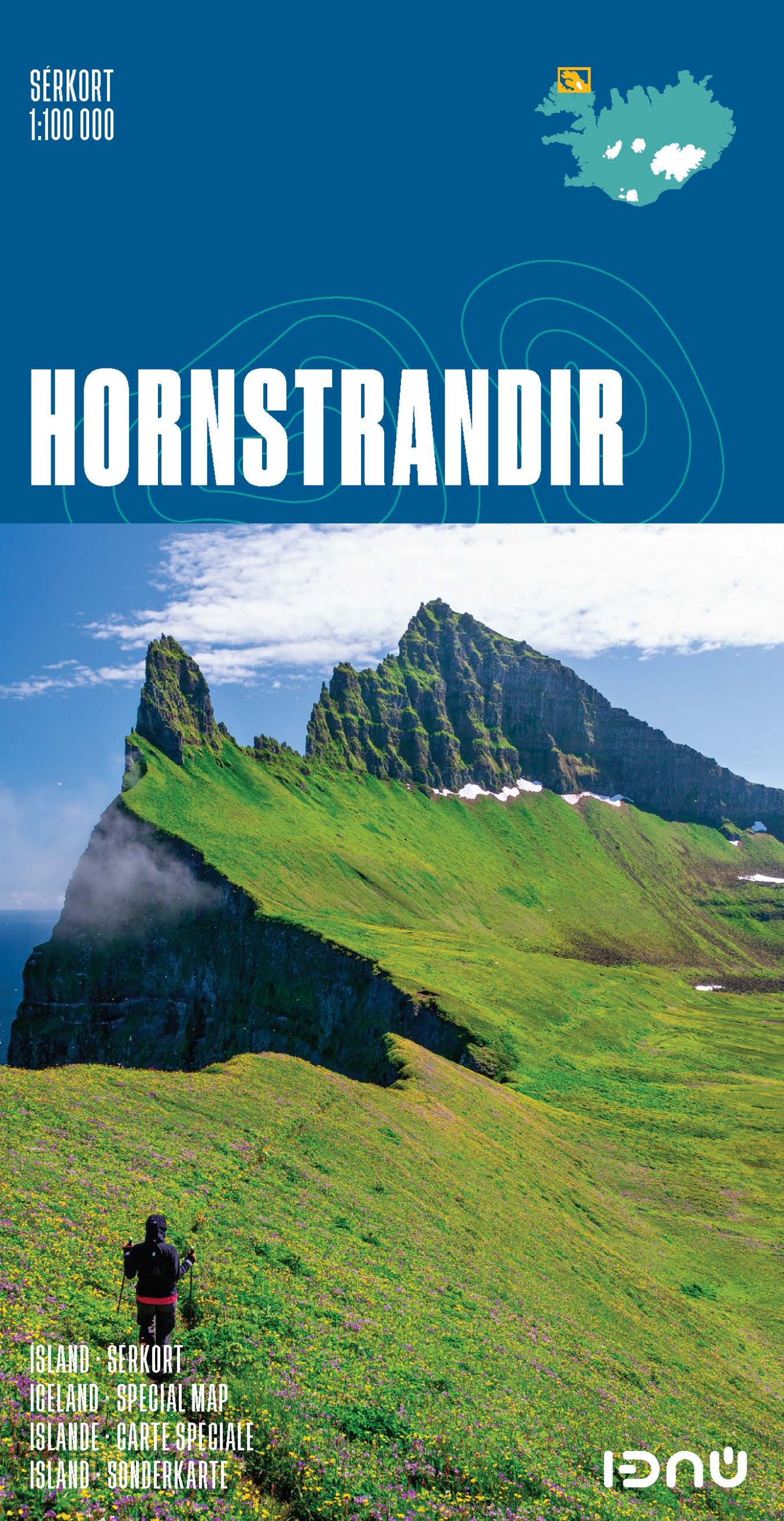
Stanfords
United Kingdom
- Hornstrandir IDNU Map
- Hornstrandir area at 1:100,000 in a series of special detailed hiking and touring maps, based on the Icelandic topographic survey, covering the most visited parts of the country. Contours at 20m intervals and bright colouring show different types of vegetation and terrain. Local footpaths indicate sections with waymarking and coastal routes... Leer más
Stanfords
United Kingdom
- Hornstrandir SUPERCEDED
- Hornstrandir area at 1:100,000 in a series of special detailed hiking and touring maps, based on the Icelandic topographic survey, covering the most visited parts of the country. Contours at 20m intervals and bright colouring show different types of vegetation and terrain. Local footpaths indicate sections with waymarking and coastal routes... Leer más

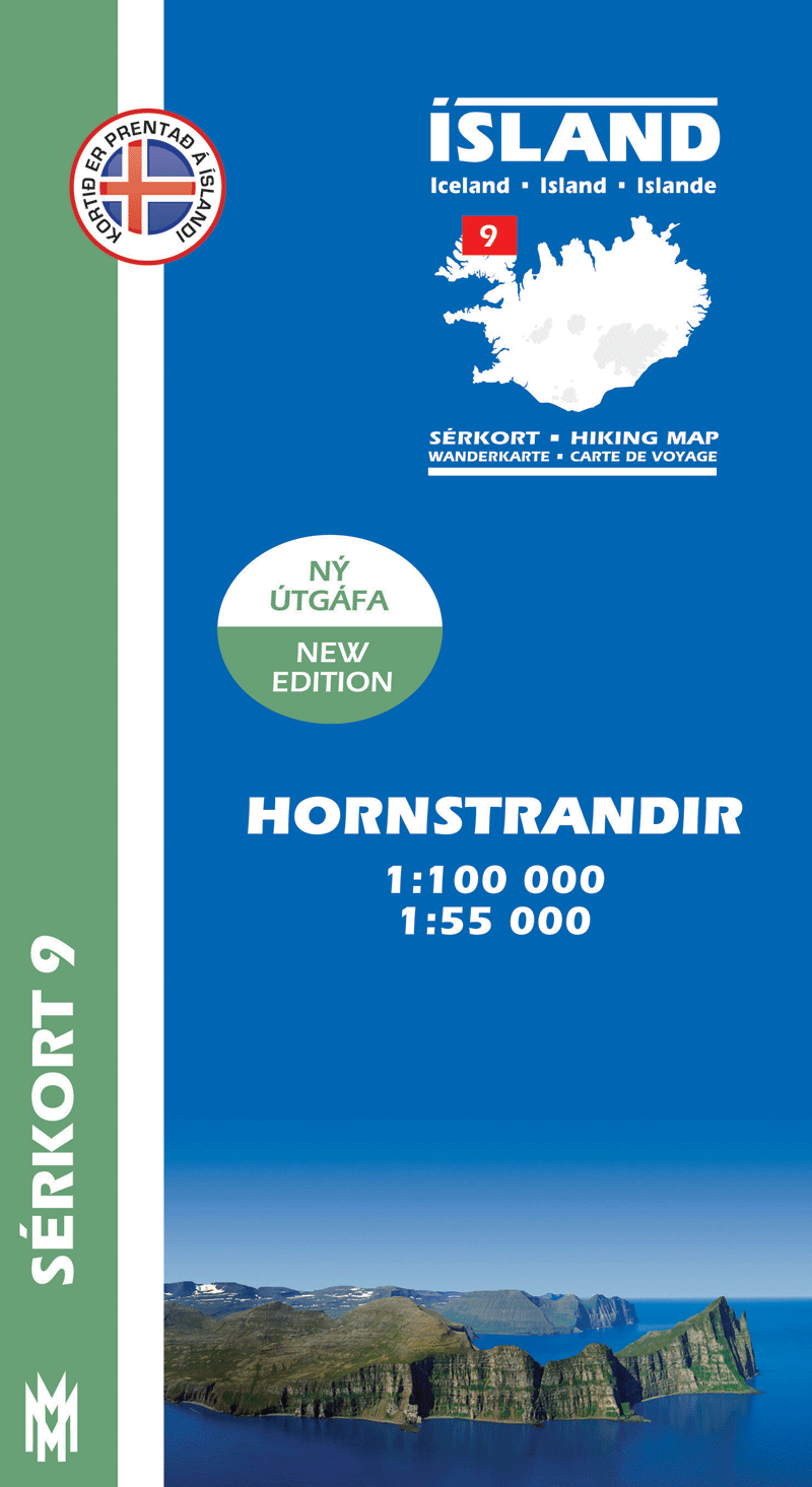
Stanfords
United Kingdom
- Hornstrandir
- Hornstrandir area of Iceland at 1:100,000 in a series of detailed hiking and recreational topographic maps from Mál og menning - the country`s leading cartographic publishers, with beautiful drawings of local birds and tourist information. An enlargement shows the northern part of the peninsula in greater detail at 1:50,000.The maps in this... Leer más