Stanfords
United Kingdom
Stanfords
United Kingdom
Stanfords
United Kingdom
Stanfords
United Kingdom
Stanfords
United Kingdom
Stanfords
United Kingdom
Stanfords
United Kingdom
Stanfords
United Kingdom
Stanfords
United Kingdom
» Click to open
The Book Depository
United Kingdom
  • Glens of Antrim 2012
  • Glens of Antrim at 1:25,000 on a large, double-sided Activity Map from the Ordnance Survey of Northern Ireland designed with outdoor enthusiasts in mind: waterproof and tear-resistant, topographic and GPS compatible, with hiking and cycling routes and tourist information for the area. Topographic base has contours at 10m intervals, with... Leer más
» Click to close
Stanfords
United Kingdom
» Click to open
De Zwerver
Netherlands
  • Wandelkaart 13 Discoverer The Sperrins | Ordnance Survey Northern Ireland
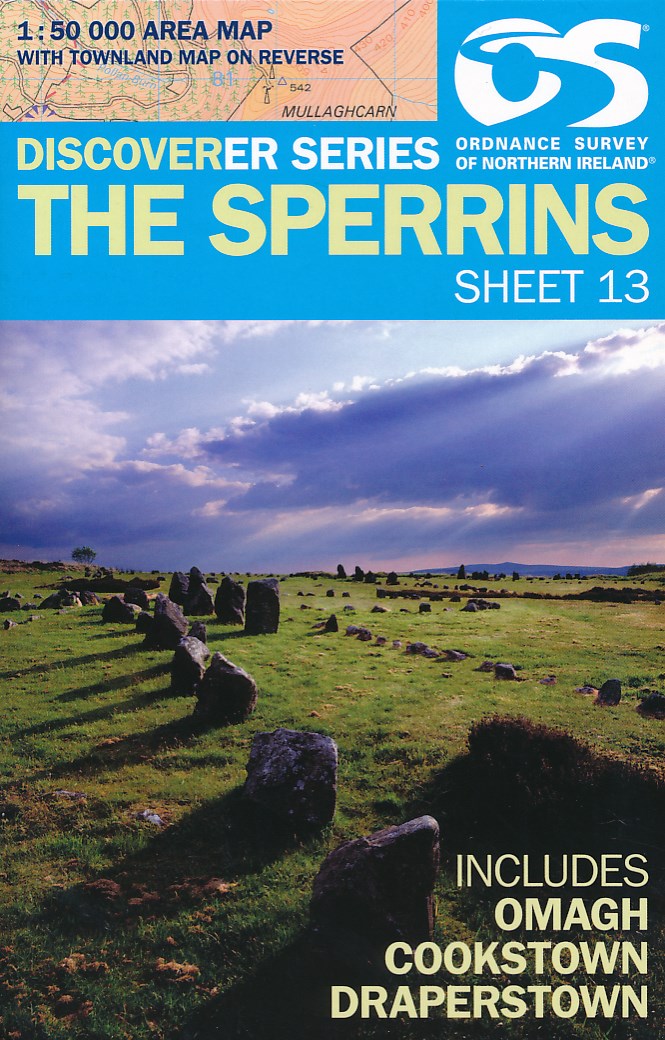
  • The Sperrins, map No. 13 in the Discoverer series from the Ordnance Survey of Northern Ireland presenting the country on detailed topographic maps at 1:50,000 with waymarked hiking trails, Sustrans National Cycle Network and other tourist information. Coverage includes Omagh, Cookstown and Draperstown. Current edition E; publication date... Leer más
» Click to close
De Zwerver
Netherlands
Ordnance Survey
United Kingdom
Stanfords
United Kingdom
» Click to open
De Zwerver
Netherlands
» Click to close
Stanfords
United Kingdom
» Click to open
De Zwerver
Netherlands
  • Wandelkaart 19 Discoverer Armagh | Ordnance Survey Northern Ireland
  • Armagh, map No. 19 in the Discoverer series from the Ordnance Survey of Northern Ireland presenting the country on detailed topographic maps at 1:50,000 with waymarked hiking trails, Sustrans National Cycle Network and other tourist information. Coverage includes Dungannon, Coalisland and Richhill. Current edition D; publication date November... Leer más
» Click to close
De Zwerver
Netherlands