Stanfords
United Kingdom
- Thingvellir
- Thingvellir area of Iceland at 1:100,000 in a series of hiking and recreational topographic maps from Sogur Utgafa, with 27 hiking and riding tracks highlighted and described in detail. The map presents detailed picture of the area’s topography, with contours at 20m intervals supplemented by spot heights and relief shading. The colouring... Leer más

Stanfords
United Kingdom
- Iceland South-West: Reykjavik – Eyjafjallajökull
- South Western Iceland at 1:200,000 on a detailed map from Mál og Menning with exceptionally vivid presentation of the country’s topography and landscape, hard surface or gravel roads and numerous country tracks, superb drawings of local birds and flowers, etc. Coverage includes Reykjavik, the Reykjanes Peninsula, Þingvellir, Hekla and... Leer más

Stanfords
United Kingdom
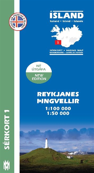
- Reykjanes - Þingvellir
- Reykjanes - Þingvellir area of Iceland at 1:100,000 in a series of detailed hiking and recreational topographic maps from Mál og menning - the country`s leading cartographic publishers, with beautiful drawings of local birds and tourist information. An enlargement shows the Þingvallavant lake and its surroundings in greater detail at... Leer más