Stanfords
United Kingdom
United Kingdom
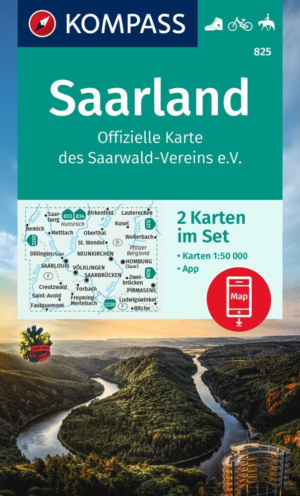
- Saarland - West Palatinate ADAC Street Atlas
- Saarland Region Street Atlas in a series of detailed atlases covering the whole of Germany at 1:20,000 with UTM coordinates for GPS navigation, postal codes and public transport, published by ADAC, the country’s largest motoring organization. The plans name all the individual streets and indicate all the main landmarks and public buildings. All... Leer más