Stanfords
United Kingdom
United Kingdom
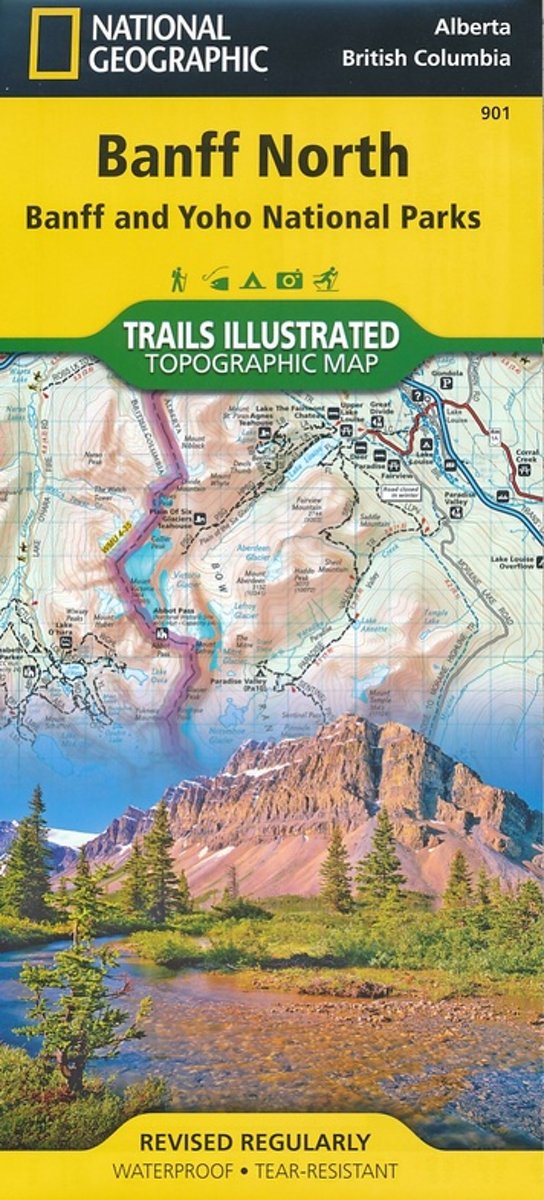
- Banff North - Banff and Yoho National Parks NGS Trails Illustrated Map 901
- The northern part of the Banff National Park on a double-sided, contoured, GPS compatible recreational map at 1:100,000 from the National Geographic printed on light, waterproof and tear-resistant synthetic paper. Coverage includes Lake Louise, the Saskatchewan River Crossing and the Columbia Icefield.This title is part of a series of four... Leer más
- Also available from:
- Bol.com, Netherlands
- Bol.com, Belgium
- De Zwerver, Netherlands
Bol.com
Netherlands
Netherlands
- Banff North
- Waterproof Tear-Resistant Topographic MapNational Geographic's Trails Illustrated map of Banff North is a two-sided, waterproof map designed to meet the needs of outdoor enthusiasts with unmatched durability and detail. This map was created in conjunction with local land management agencies and is loaded with valuable recreation... Leer más
Bol.com
Belgium
Belgium
- Banff North
- Waterproof Tear-Resistant Topographic MapNational Geographic's Trails Illustrated map of Banff North is a two-sided, waterproof map designed to meet the needs of outdoor enthusiasts with unmatched durability and detail. This map was created in conjunction with local land management agencies and is loaded with valuable recreation... Leer más

De Zwerver
Netherlands
Netherlands
- Wandelkaart 901 Banff North National Park | National Geographic
- The northern part of the Banff National Park on a double-sided, contoured, GPS compatible recreational map at 1:100,000 from the National Geographic printed on light, waterproof and tear-resistant synthetic paper. Coverage includes Lake Louise, the Saskatchewan River Crossing and the Columbia Icefield.This title is part of a series of four... Leer más