Stanfords
United Kingdom
Stanfords
United Kingdom
Stanfords
United Kingdom
Stanfords
United Kingdom
Stanfords
United Kingdom
Stanfords
United Kingdom
Stanfords
United Kingdom
Stanfords
United Kingdom
» Click to open
The Book Depository
United Kingdom
  • West Coast Trail / Carmanah Valley
  • West Coast Trail in the Pacific Rim National Park Reserve and the Carmanah Valley in the Carmanah Walbran Provincial Park on the western coast of Vancouver Island at 1:50,000 in a series of topographic survey maps of selected areas of British Columbia and the Canadian Rockies from ITMB with cartography from Canada’s national survey... Leer más
De Zwerver
Netherlands
  • Wandelkaart West Coast Trail & Carmanah Valley | ITMB
  • West Coast Trail in the Pacific Rim National Park Reserve and the Carmanah Valley in the Carmanah Walbran Provincial Park on the western coast of Vancouver Island at 1:50,000 in a series of topographic survey maps of selected areas of British Columbia and the Canadian Rockies from ITMB with cartography from Canada’s national survey... Leer más
» Click to close
Stanfords
United Kingdom
» Click to open
De Zwerver
Netherlands
  • Wandelkaart 05 Banff National Park and Mt. Assiniboine | Gem Trek Maps
  • Banff - Mount Assiniboine area at 1:100,000 on a light, waterproof and tear-resistant map from Gem Trek Publishing in their series of detailed hiking maps of the Canadian Rockies. On the reverse are descriptions of several day hikes and overnight trips, plus plenty of other tourist information.The map covers the most popular hiking and mountain... Leer más
» Click to close
Stanfords
United Kingdom
» Click to open
De Zwerver
Netherlands
  • Topografische kaart 82 N&K Canadian Rockies Banff, Kootenay, Yoho Parks | ITMB
  • 1:250,000 scale, 1st Edition, 2008 – This is a fabulous map. The artwork consists of four complete Govt. of Canada Topographic maps (82J, K, N, and O) overprinted with hundreds of touristic attractions – camping sites, hiking trails, canoeing areas, wilderness lodges, youth hostels, golf courses – you name it, it's there. Coverage is from... Leer más
» Click to close
De Zwerver
Netherlands
Stanfords
United Kingdom
» Click to open
De Zwerver
Netherlands
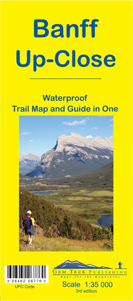
  • Wandelkaart 11 Banff Up-Close | Gem Trek Maps
  • Gem Trek Map-Guides Banff Up-Close (11) - This map-and-guide-in-one is designed for people who are only going to be in Banff for one to three days, and want to know what the highlights are and how to find them.On the front is a detailed relief-shaded topographic map of the Banff townsite area, from the Sundance and Sulphur Mountain areas in the... Leer más
» Click to close
Stanfords
United Kingdom
2008
» Click to open
De Zwerver
Netherlands
2008
» Click to close
Stanfords
United Kingdom
» Click to open
De Zwerver
Netherlands
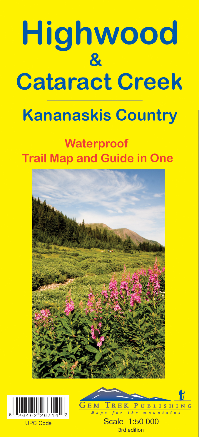
  • Wandelkaart 09 Highwood & Cataract Creek | Gem Trek Maps
  • Highwood and Cataract Creek area of the Canadian Rockies on a contoured and GPS compatible, waterproof and tear-resistant map at 1:50,000 from Gem Trek with descriptions of recommended trails and other tourist information. On the reverse an inset at 1:50 000 extends the coverage south to take in the trails accessed from Highways 940 and 542,... Leer más
» Click to close
De Zwerver
Netherlands
2022