Stanfords
United Kingdom
United Kingdom
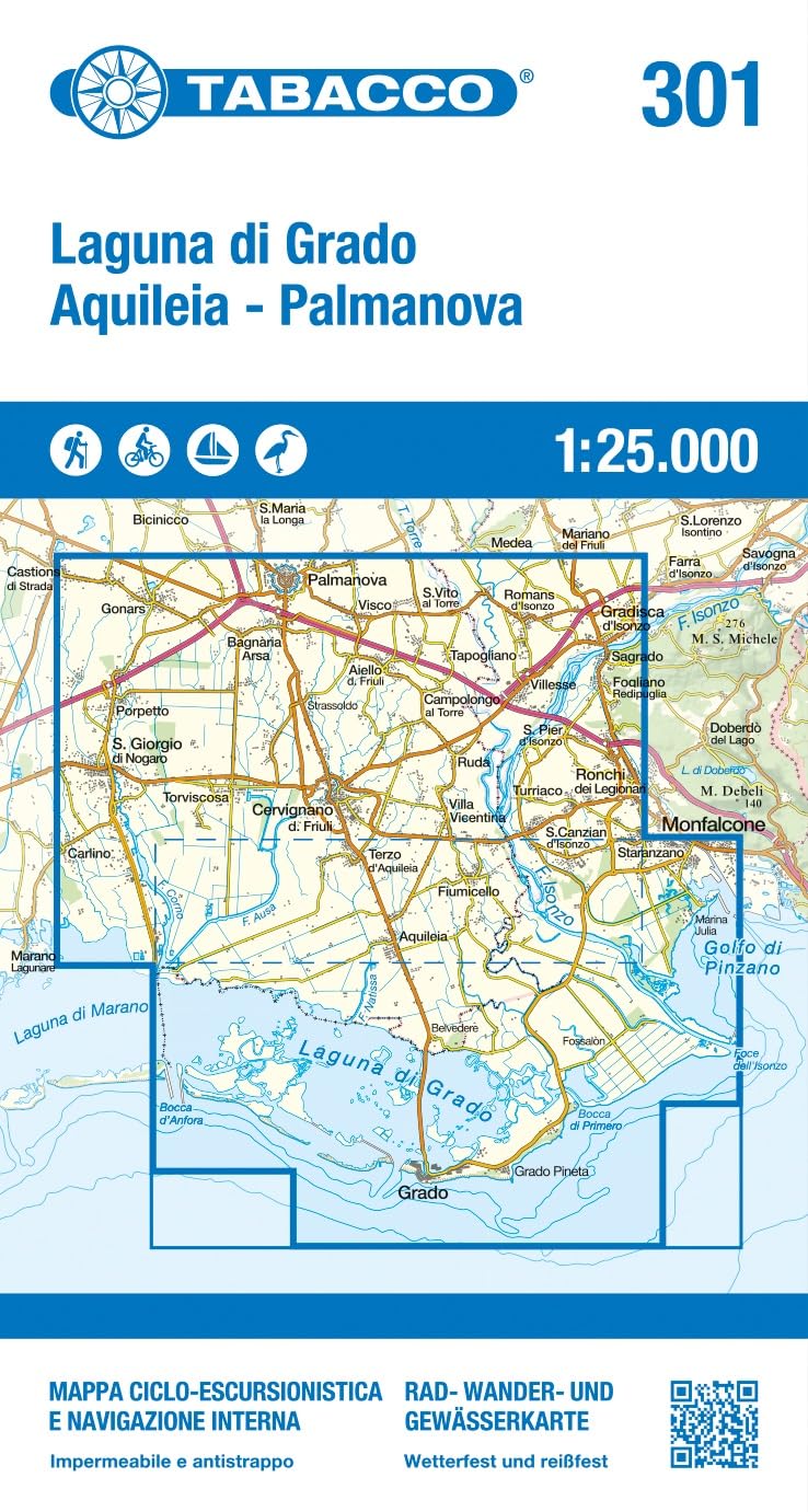
- Colli Euganei - Abano e Montegrotto Terme Tabacco 060
- Colli Euganei - Abano & Montegrotto Terme area in a series of Tabacco maps at 1:25,000 covering the Dolomites and the mountains of north-eastern Italy - Stanfords’ most popular coverage for this region, with excellent cartography and extensive overprint for hiking routes and other recreational activities, local bus stops, etc. Additional... Leer más