Stanfords
United Kingdom
United Kingdom
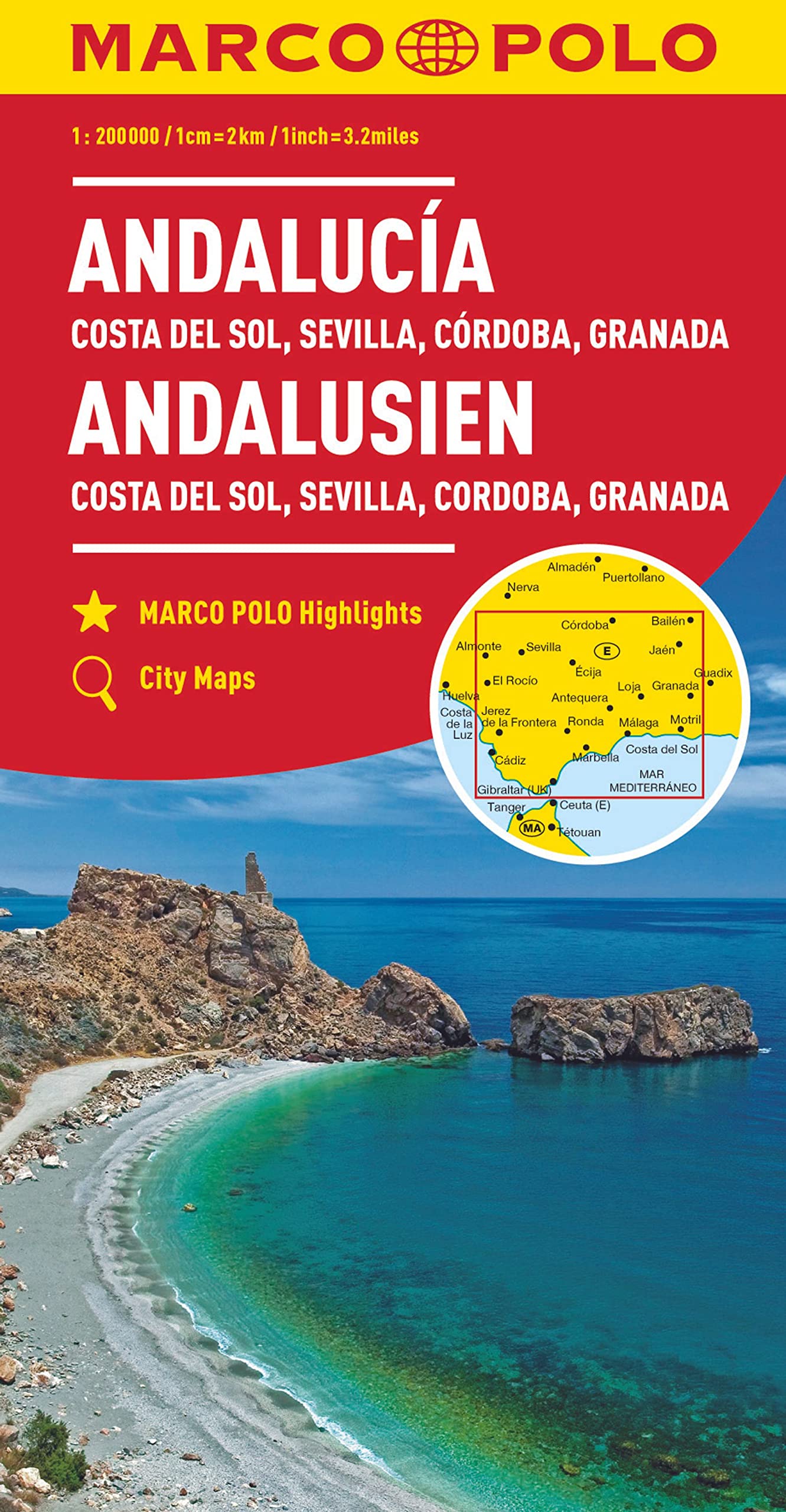
- Andalucía West: Córdoba - Seville - Málaga 500K CNIG Regional Map No. 11
- The western part of Andalucía, from Córdoba to the Straits of Gibraltar and extending along the Mediterranean coast eastwards beyond the Costa del Sol and Málaga to Nerja, at 1:500,000 in a series of regional road maps from the country’s civilian survey organization IGN-CNIG (Instituto Geográfico Nacional - Centro Nacional de Información... Leer más