Stanfords
United Kingdom
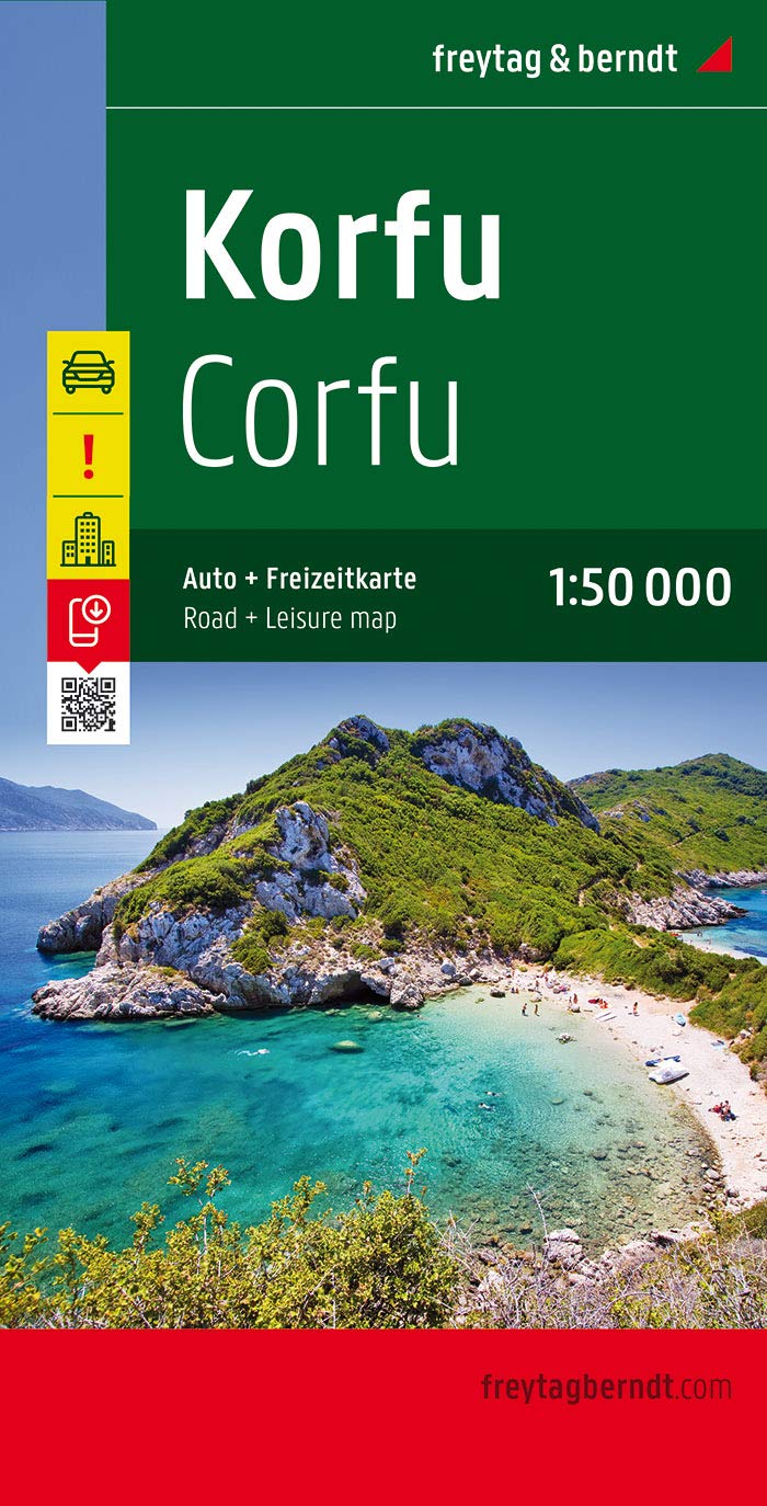
- Corfu F&B Pocket Map
- Corfu in a series of handy holiday pocket maps from Freytag & Berndt covering popular islands and other seaside destinations in Europe. Each map is laminated, so waterproof and tear-resistant, and highlights the publishers’ recommendations of five best choices in five categories: adventure, culture, food, nature and sights.On one side is a road... Leer más
De Zwerver
Netherlands
De Zwerver
Netherlands

Stanfords
United Kingdom
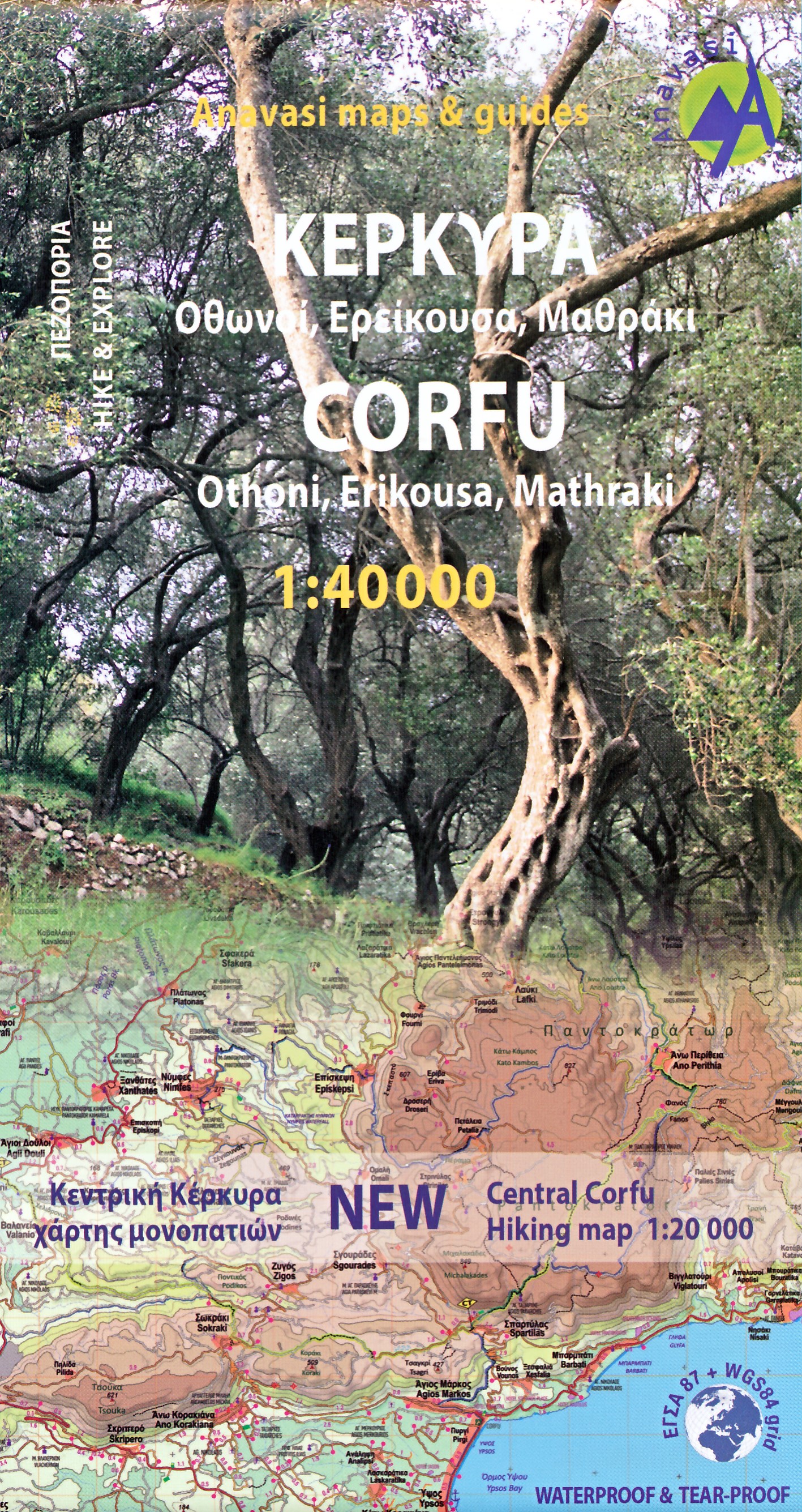
- Corfu - Othoni - Erikouse - Mathraki Anavasi 9.4
- Corfu on a handy size, light, waterproof and tear-resistant, contoured and GPS compatible map at 1:40,000 from Anavasi, highlighting the course of the Corfu Trail across the whole length of the island. The map is double-sided with a narrow overlap between the sides.Landscape is shown by contours at 50m with hill shading and spot heights. The... Leer más
De Zwerver
Netherlands
De Zwerver
Netherlands

Stanfords
United Kingdom
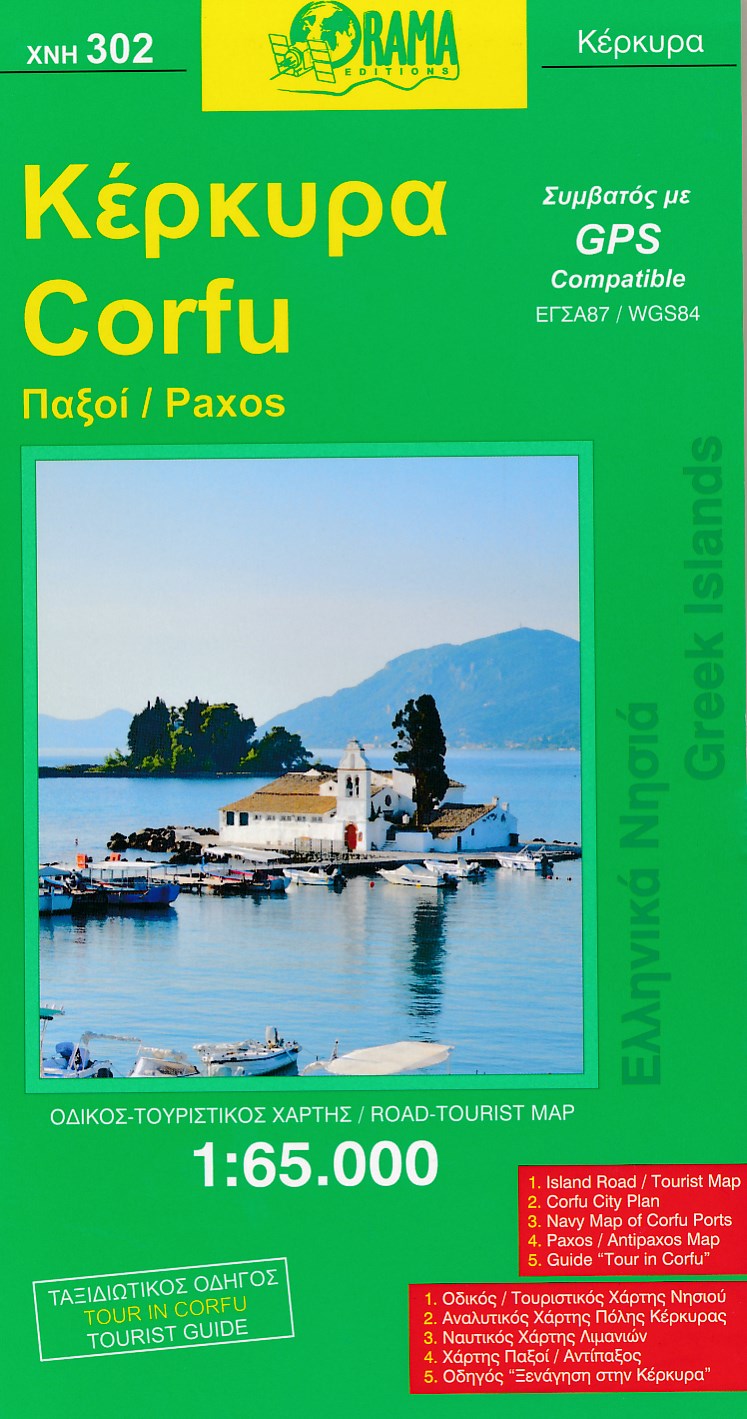
- Corfu Orama Editions 302
- Corfu with Paxos at 1:100,000 on a road map from the Greek publishers Orama with a street plan of Corfu/Kerkyra Town, notes on the island’s resorts, beaches and other places of interest, an extensive list of tourist accommodation, etc.On one side is a map of Corfu, Paxos and Antipaxos, with the nearby islands of Mathraki, Othoni and Erikoussa... Leer más
De Zwerver
Netherlands
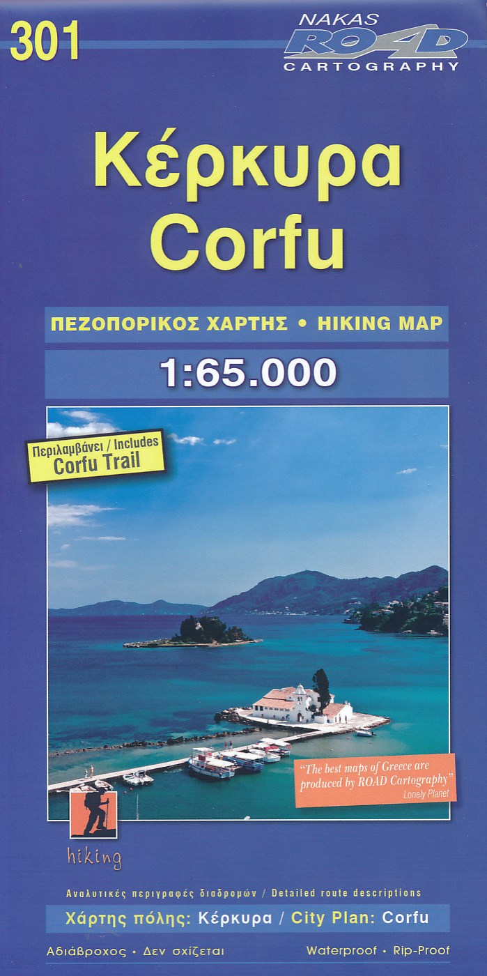
- Wandelkaart 301 Corfu - Korfoe | Road Editions
- This Road Cartography map, was created upon intensive fieldwork and using G.I.S. ( Geographical Information Systems), ensuring high accuracy. Contains every single road, trails, special routes for cycling and scenic routes, villages, attractions and plenty of other useful information Leer más