Stanfords
United Kingdom
United Kingdom
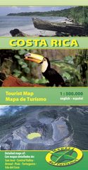
- Costa Rica Travel Map
- Costa Rica at 1:470,000 on a tourist map from Toucan Maps printed on light, waterproof and tear-resistant synthetic paper, with an exceptionally wide range of symbols presenting various places of interest, opportunities for recreational pursuits and tourist facilities, particularly in the country’s main towns and holiday resorts.On one side is... Leer más