Stanfords
United Kingdom
United Kingdom
- C3 Isle of Wight SUPERCEDED
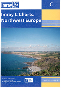
- Plans included:Lymington River (1:17 500)River Hamble (1:20 000)Bembridge Harbour (1:20 000)Continuation of Southampton Water (1:45 000)On this 2018 edition the latest depth surveys have been applied. Completed works on the Capital Dredge Programme are included. The latest 2018 racing buoy positions are shown. There has been general updating... Leer más