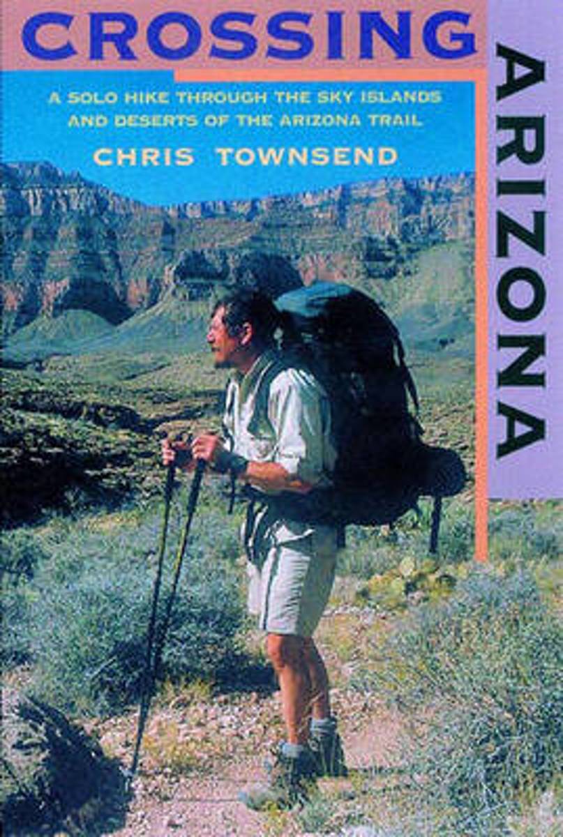
The author's engaging account of his solo hike along the Arizona Trailfrom the Mexican border to Utah. Crossing Arizona takes us on an extraordinary journey across some of the harshest, most remote, and arguably most beautiful natural terrain in the Lower 48. Long-distance hiker Chris Townsend, inspired by the writings of Edward Abbey and Colin...Leer más
The author's engaging account of his solo hike along the Arizona Trailfrom the Mexican border to Utah. Crossing Arizona takes us on an extraordinary journey across some of the harshest, most remote, and arguably most beautiful natural terrain in the Lower 48. Long-distance hiker Chris Townsend, inspired by the writings of Edward Abbey and Colin...Leer más
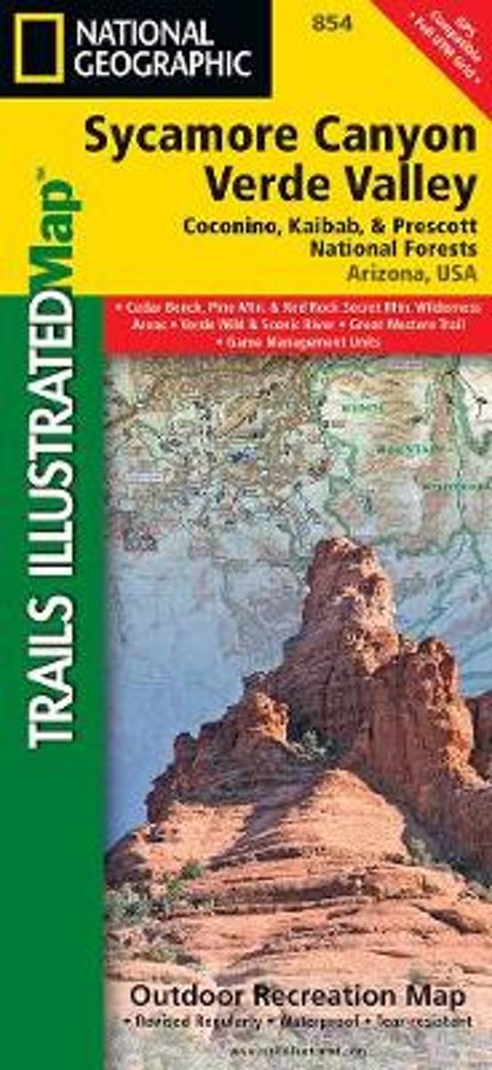
Map No. 854, Coconino National Forest: Sycamore Canyon and Verde Valley Wilderness Areas, AZ, in an extensive series of GPS compatible, contoured hiking maps of USA’s national and state parks or forests and other popular recreational areas. Cartography based on the national topographic survey, with additional tourist information.The maps, with...Leer más
Waterproof Tear-Resistant Topographic MapNational Geographic's Sycamore Canyon / Verde Valley Trails Illustrated topographic map is the most comprehensive available for outdoor enthusiasts of all types. Designed to be easy-to-read, yet highly detailed this map includes a comprehensive road and trail network distinguishing between major,...Leer más
Waterproof Tear-Resistant Topographic MapNational Geographic's Sycamore Canyon / Verde Valley Trails Illustrated topographic map is the most comprehensive available for outdoor enthusiasts of all types. Designed to be easy-to-read, yet highly detailed this map includes a comprehensive road and trail network distinguishing between major,...Leer más
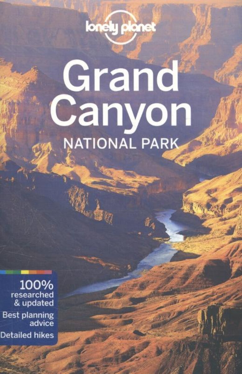
Lonely Planet: The world's leading travel guide publisher Lonely Planet Grand Canyon National Park is your passport to the most relevant, up-to-date advice on what to see and skip, and what hidden discoveries await you. Go rafting on the Colorado River, ride a mule down into the Grand Canyon, or view it from above on a helicopter ride around...Leer más
Lonely Planet: The world's leading travel guide publisher Lonely Planet Grand Canyon National Park is your passport to the most relevant, up-to-date advice on what to see and skip, and what hidden discoveries await you. Go rafting on the Colorado River, ride a mule down into the Grand Canyon, or view it from above on a helicopter ride around...Leer más
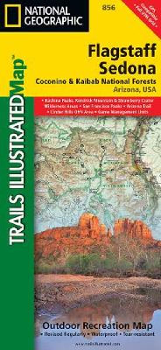
Map No. 856, Coconino National Forest: Flagstaff and Sedona, AZ, in an extensive series of GPS compatible, contoured hiking maps of USA’s national and state parks or forests and other popular recreational areas. Cartography based on the national topographic survey, with additional tourist information.The maps, with most titles now printed on...Leer más
Waterproof Tear-Resistant Topographic MapNational Geographic's Flagstaff and Sedona Trails Illustrated topographic map is the most comprehensive available for outdoor enthusiasts of all types. Designed to be easy-to-read, yet highly detailed this map includes a comprehensive road and trail network distinguishing between major,...Leer más
Waterproof Tear-Resistant Topographic MapNational Geographic's Flagstaff and Sedona Trails Illustrated topographic map is the most comprehensive available for outdoor enthusiasts of all types. Designed to be easy-to-read, yet highly detailed this map includes a comprehensive road and trail network distinguishing between major,...Leer más
Head out for adventure on the unpaved back roads of America with Nick Legans complete guide to gravel grinders and bikepacking!Gravel cycling is a glorious return to the purest roots of two-wheeled adventure. From farm roads and miners paths to the high passes of the Rockies and the Alps, gravel cycling and bikepacking will set you free to...Leer más
Head out for adventure on the unpaved back roads of America with Nick Legans complete guide to gravel grinders and bikepacking!Gravel cycling is a glorious return to the purest roots of two-wheeled adventure. From farm roads and miners paths to the high passes of the Rockies and the Alps, gravel cycling and bikepacking will set you free to...Leer más
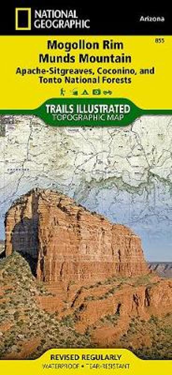
Map No. 855, Coconino National Forest: Mogollon Rim and Munds Mountain Wilderness Areas, AZ, in an extensive series of GPS compatible, contoured hiking maps of USA’s national and state parks or forests and other popular recreational areas. Cartography based on the national topographic survey, with additional tourist information.The maps, with...Leer más
Waterproof Tear-Resistant Topographic MapNational Geographic's Mogollon Rim / Munds Mountain Trails Illustrated topographic map is the most comprehensive available for outdoor enthusiasts of all types. Designed to be easy-to-read, yet highly detailed this map includes a comprehensive road and trail network distinguishing between major,...Leer más
Waterproof Tear-Resistant Topographic MapNational Geographic's Mogollon Rim / Munds Mountain Trails Illustrated topographic map is the most comprehensive available for outdoor enthusiasts of all types. Designed to be easy-to-read, yet highly detailed this map includes a comprehensive road and trail network distinguishing between major,...Leer más