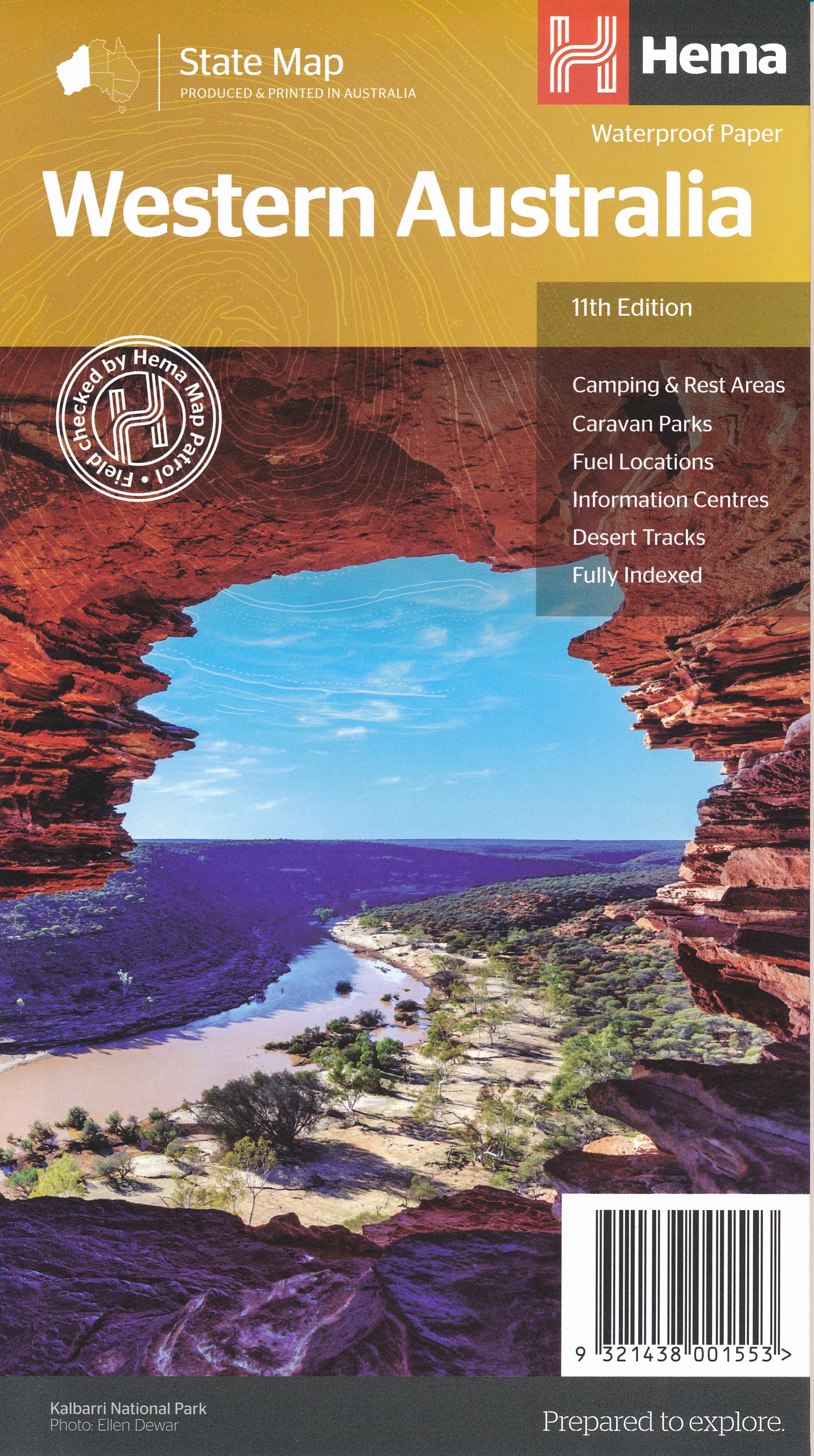
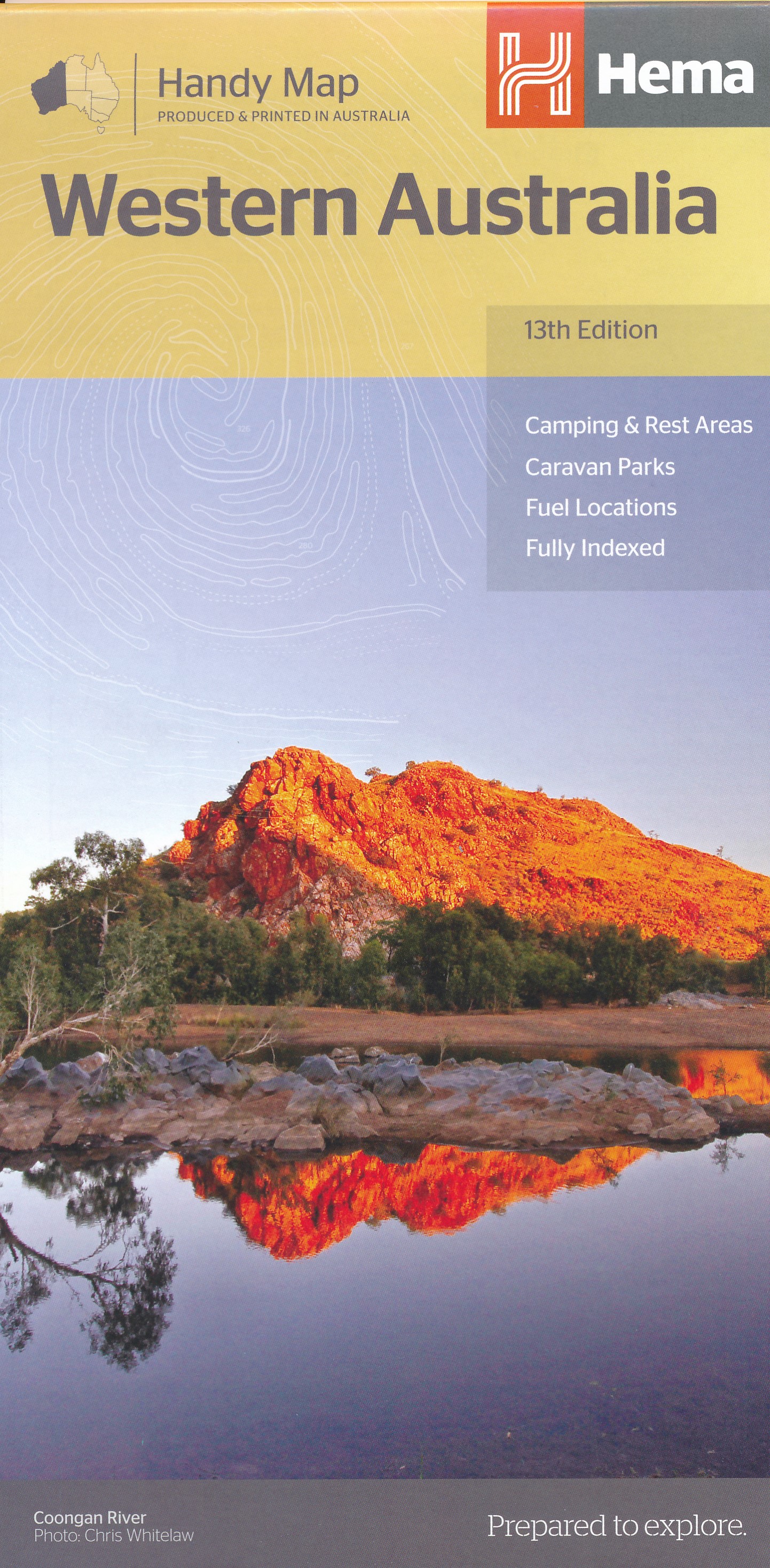
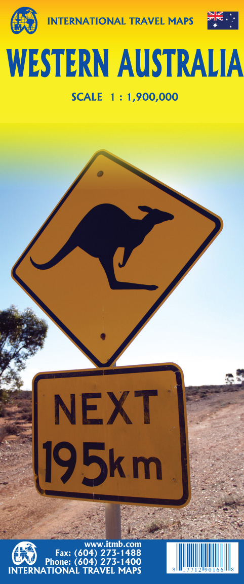
Western Australia
Descripción
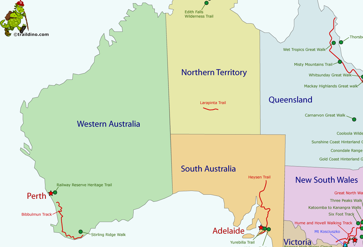
Western Australia is a very sparsely populated state, and most inhabitants live in the area of Perth, in the south west corner.
A shame this enormous landmass has been maltreated by mankind in recent era.
Hiking the west of Australia, you should be aware that the rocks and soils beneath your very feet are groaning old, some 3 billion years. Nothing much happened here since that time. The soils are infertile and eroded.
For the hiker, the Stirling range east of Perth, a "recent" ply in the earth's crust, is an interesting region to explore. The Stirling Ridge walk however is one of the hardest to complete. A second, very nice trail, is the Bibbulmun Track, 964 km long, along the south west coast, which passes through native forest most of the time.
Mapa
Senderos en estado
Enlaces
Datos
Informes
Guías y mapas
Hospedaje
Organizaciones
Operadores turísticos
GPS
Otro
Libros

United Kingdom
- World Awesome Maps Hiking Wall Map
- Illustrated world map with the best hiking trails across the globe. Over 300 trails, from short glacier walks like the Perito Moreno Glacier Walk in Argentina to long-distance treks like the Appalachian Trail and Bibbulmun Track in Australia to lesser known remote trails like the Huahuash Circuit in Peru.- High quality offset print on... Leer más

Netherlands
- Pets on Holiday
- It can be difficult to find pet-friendly places to enjoy a holiday in Australia. Enter Pets on Holiday: a handy, curated guide to Australia's most pet-inclusive destinations. This book features accommodation listings for every state and territory - from luxury cottages to budget-friendly caravan parks and campsites - each with concise... Leer más
- Also available from:
- Bol.com, Belgium

Belgium
- Pets on Holiday
- It can be difficult to find pet-friendly places to enjoy a holiday in Australia. Enter Pets on Holiday: a handy, curated guide to Australia's most pet-inclusive destinations. This book features accommodation listings for every state and territory - from luxury cottages to budget-friendly caravan parks and campsites - each with concise... Leer más
Mapas

United Kingdom
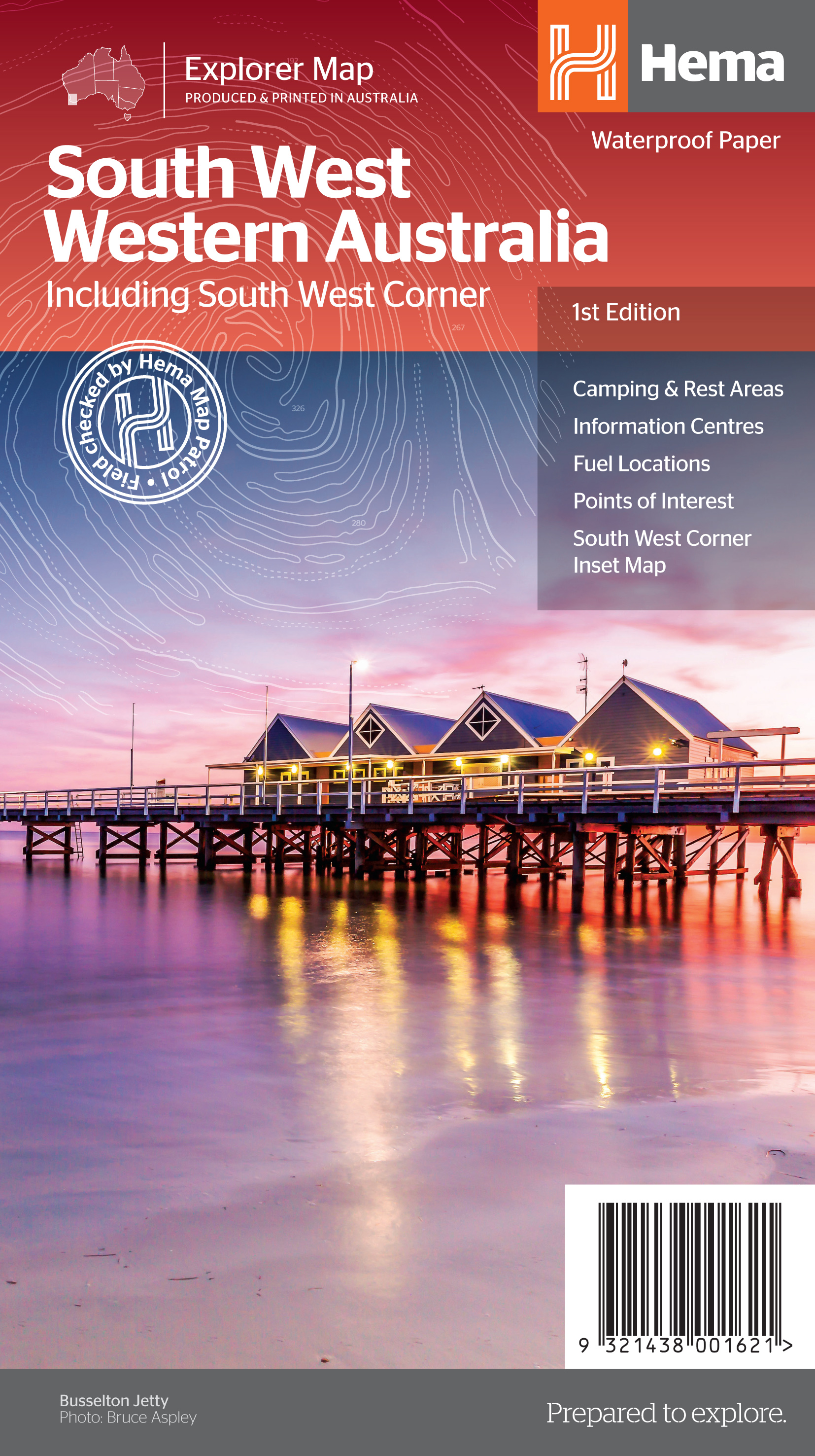
- South West Corner - Margaret River & Southern Forest Hema
- The south-western tip of Western Australia on a detailed map from Hema in their series of regional road maps. On one side is the south-western corner of the state at 1:200,000, extending north beyond Bunbury and Collie, eastwards to Boyup Brook and along the southern coast to cover the D’Entrecasteaux National Park. On the reverse the coastal... Leer más


