
Wyoming
Descripción
Wyoming is a true mountain state, with the Rocky Mountains, glaciers, but also badlands and deserts. And of course the Yellowstone National Park. The main hiking area is the northwest.
Yellowstone is famous, but try to avoid the tourist traps. Better to choose the trails in the outer parts of the park. Another hit is the Grand Teton National Park, and the adjacent National Forest with the same name. The Bridger-Teton National Forest has large wilderness areas. And finally the glacier rich Shoshone National Forest. These parks count for more than 6000 miles of hiking trails.
Wyoming has its share of the famous Continental Divide Trail, and also of the Great Western Trail. The place to be!
Mapa

Senderos en estado
Enlaces
Datos
Informes
Guías y mapas
Hospedaje
Organizaciones
Operadores turísticos
GPS
Otro
Libros

Stanfords
United Kingdom
United Kingdom
- Cloud Peak Wilderness WY
- Map No. 720, Cloud Peak Wilderness in Wyoming, at 1:45,000 in an extensive series of GPS compatible, contoured hiking maps of USA’s national and state parks or forests and other popular recreational areas. Cartography based on the national topographic survey, with additional tourist information.The maps, with most titles now printed on light,... Leer más

The Book Depository
United Kingdom
United Kingdom
- Hiking the Black Hills Country
- A Guide To More Than 50 Hikes In South Dakota And Wyoming Leer más

The Book Depository
United Kingdom
United Kingdom
- Hiking Wyoming
- A Guide to the State's Greatest Hiking Adventures Leer más

The Book Depository
United Kingdom
2022
United Kingdom
2022
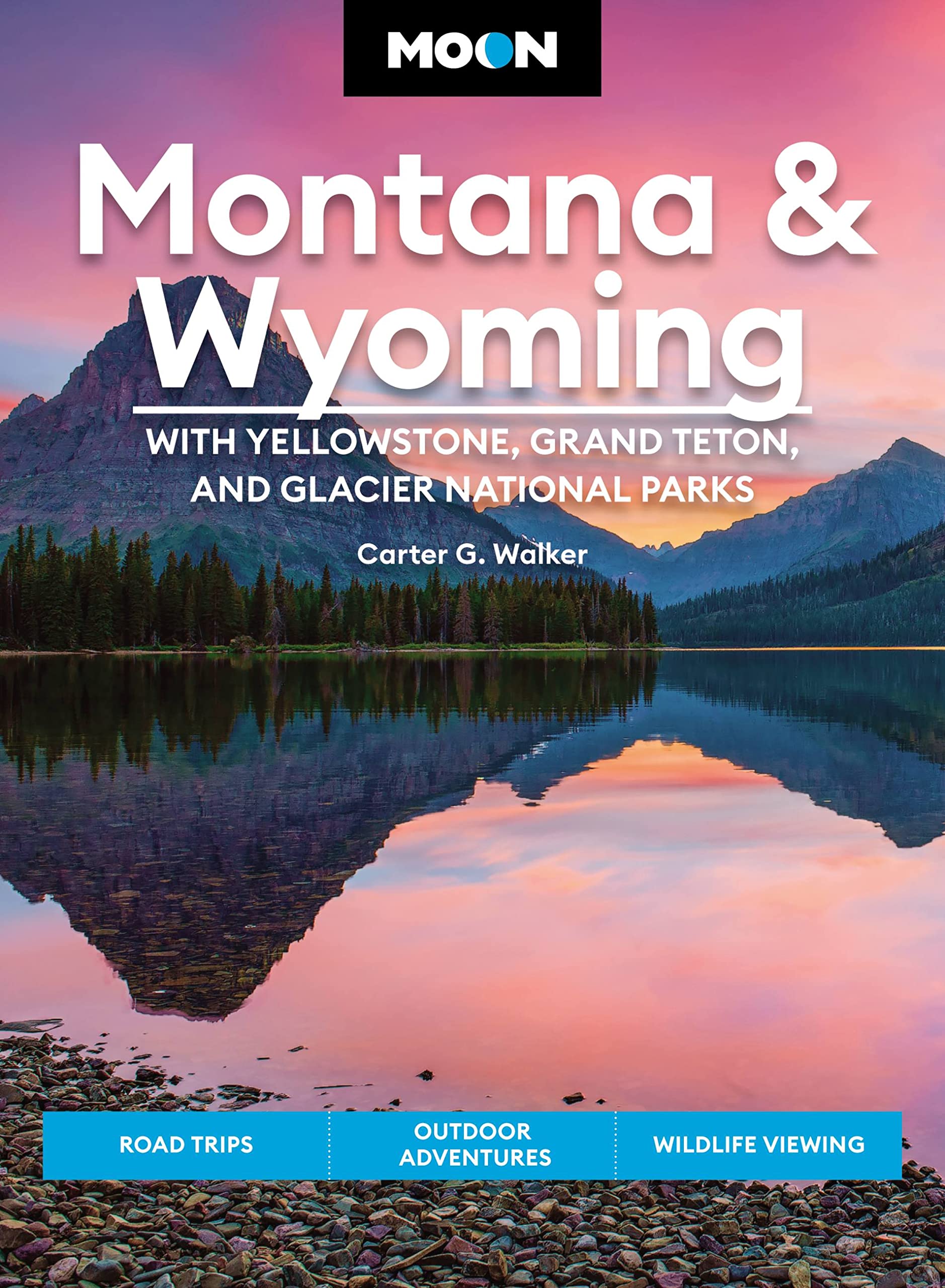
- Moon Montana & Wyoming: With Yellowstone, Grand Teton & Glacier National Parks (Fifth Edition)
- Road Trips, Outdoor Adventures, Wildlife Viewing Leer más
- Also available from:
- De Zwerver, Netherlands
De Zwerver
Netherlands
2022
Netherlands
2022
- Reisgids Montana - Wyoming | Moon Travel Guides
- Road Trips, Outdoor Adventures, Wildlife Viewing Leer más
Bol.com
Netherlands
Netherlands
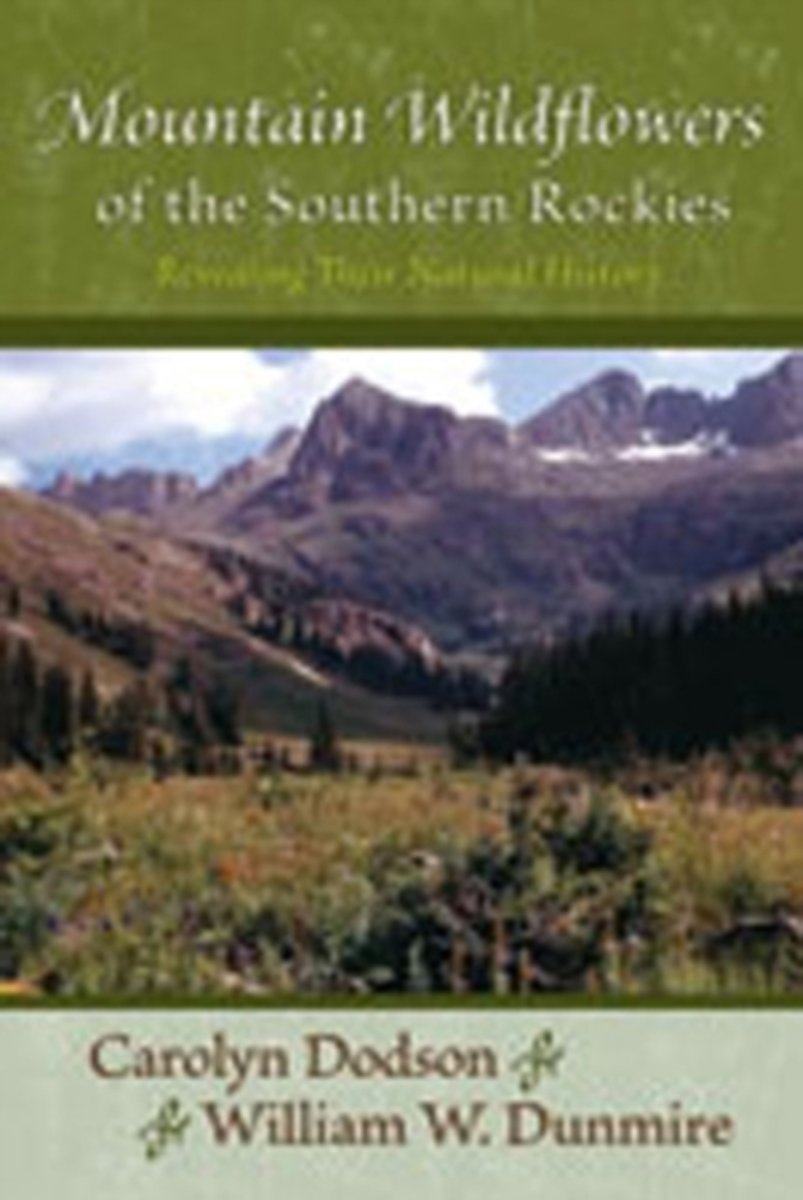
- Mountain Wildflowers of the Southern Rockies
- More than a field guide, Mountain Wildflowers of the Southern Rockies offers botanical, natural history, and cultural essays that present useful and fascinating facts about seventy-five species of wildflowers, including strategies for survival, plant evolution, origins of common and scientific plant names, family characteristics, and their... Leer más
- Also available from:
- Bol.com, Belgium
Bol.com
Belgium
Belgium
- Mountain Wildflowers of the Southern Rockies
- More than a field guide, Mountain Wildflowers of the Southern Rockies offers botanical, natural history, and cultural essays that present useful and fascinating facts about seventy-five species of wildflowers, including strategies for survival, plant evolution, origins of common and scientific plant names, family characteristics, and their... Leer más
Bol.com
Netherlands
Netherlands
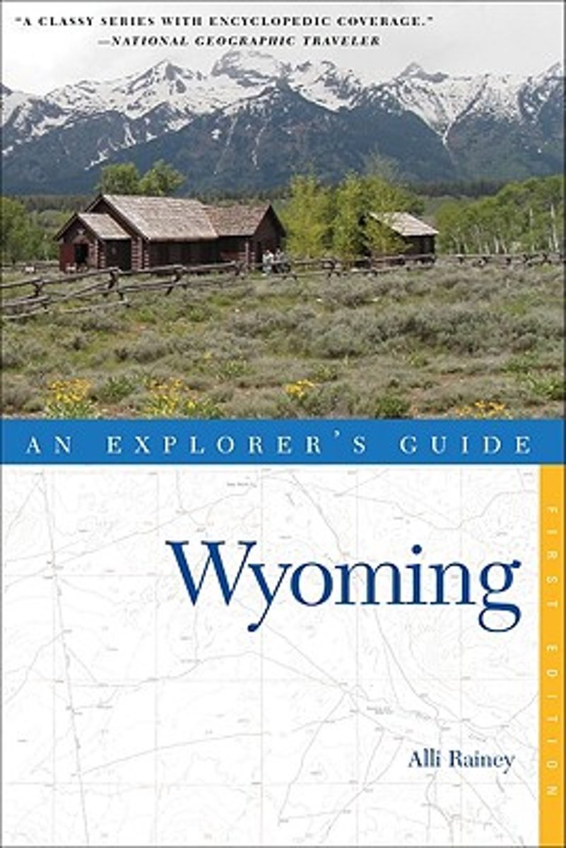
- Explorer's Guide Wyoming
- This comprehensive guide to Wyoming includes all of the expected attractions as well as many more far-flung and offbeat adventures, extensive outdoor recommendations and details on the cultural opportunities that abound.Wyoming is arguably the most "western" western state. From the windblown plains of Casper to the mountain peaks of the Wind... Leer más
- Also available from:
- Bol.com, Belgium
Bol.com
Belgium
Belgium
- Explorer's Guide Wyoming
- This comprehensive guide to Wyoming includes all of the expected attractions as well as many more far-flung and offbeat adventures, extensive outdoor recommendations and details on the cultural opportunities that abound.Wyoming is arguably the most "western" western state. From the windblown plains of Casper to the mountain peaks of the Wind... Leer más

Stanfords
United Kingdom
United Kingdom
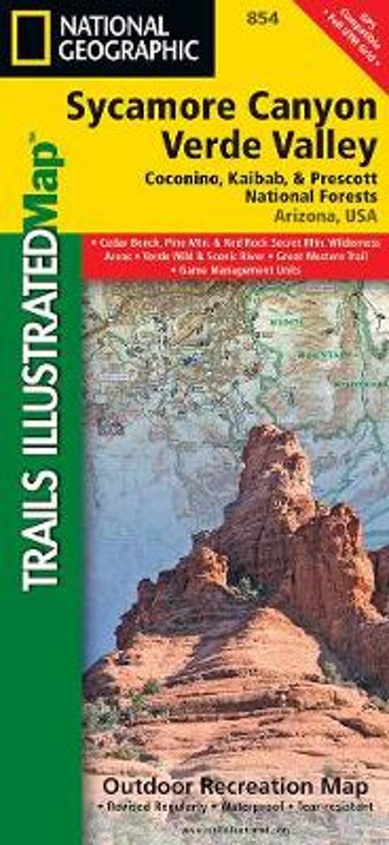
- Sycamore Canyon - Verde Valley - Coconino, Kaibab and Prescott National Forests AZ
- Map No. 854, Coconino National Forest: Sycamore Canyon and Verde Valley Wilderness Areas, AZ, in an extensive series of GPS compatible, contoured hiking maps of USA’s national and state parks or forests and other popular recreational areas. Cartography based on the national topographic survey, with additional tourist information.The maps, with... Leer más
- Also available from:
- Bol.com, Netherlands
- Bol.com, Belgium
Bol.com
Netherlands
Netherlands
- Sycamore Canyon & Verde Valley Wildnerness Areas, Coconino, Kaibab, & Prescott National Forests
- Waterproof Tear-Resistant Topographic MapNational Geographic's Sycamore Canyon / Verde Valley Trails Illustrated topographic map is the most comprehensive available for outdoor enthusiasts of all types. Designed to be easy-to-read, yet highly detailed this map includes a comprehensive road and trail network distinguishing between major,... Leer más
Bol.com
Belgium
Belgium
- Sycamore Canyon & Verde Valley Wildnerness Areas, Coconino, Kaibab, & Prescott National Forests
- Waterproof Tear-Resistant Topographic MapNational Geographic's Sycamore Canyon / Verde Valley Trails Illustrated topographic map is the most comprehensive available for outdoor enthusiasts of all types. Designed to be easy-to-read, yet highly detailed this map includes a comprehensive road and trail network distinguishing between major,... Leer más
Bol.com
Netherlands
Netherlands
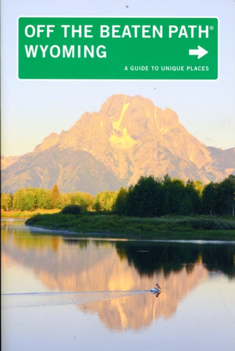
- Wyoming off the Beaten Path
- Wyoming Off the Beaten Path features the things travelers and locals want to see and experience––if only they knew about them. From the best in local dining to quirky cultural tidbits to hidden attractions, unique finds, and unusual locales. Leer más
- Also available from:
- Bol.com, Belgium
Bol.com
Belgium
Belgium
- Wyoming off the Beaten Path
- Wyoming Off the Beaten Path features the things travelers and locals want to see and experience––if only they knew about them. From the best in local dining to quirky cultural tidbits to hidden attractions, unique finds, and unusual locales. Leer más
Bol.com
Netherlands
Netherlands
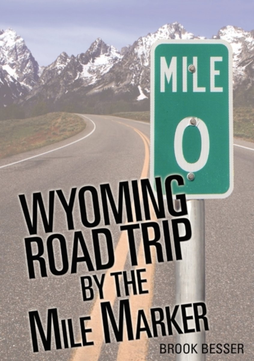
- Wyoming Road Trip by the Mile Marker
- Yellowstone National Park is the focal point of Wyoming tourism; however, there is so much more if you know where to look. From rolling prairie, to badlands, to deep forests, to high mountain lakes, and breathtaking peaks, Wyoming's diverse landscape is second to none. In addition, the Wyoming plains contain a rich history of pioneer trails... Leer más
- Also available from:
- Bol.com, Belgium
Bol.com
Belgium
Belgium
- Wyoming Road Trip by the Mile Marker
- Yellowstone National Park is the focal point of Wyoming tourism; however, there is so much more if you know where to look. From rolling prairie, to badlands, to deep forests, to high mountain lakes, and breathtaking peaks, Wyoming's diverse landscape is second to none. In addition, the Wyoming plains contain a rich history of pioneer trails... Leer más
Bol.com
Netherlands
Netherlands
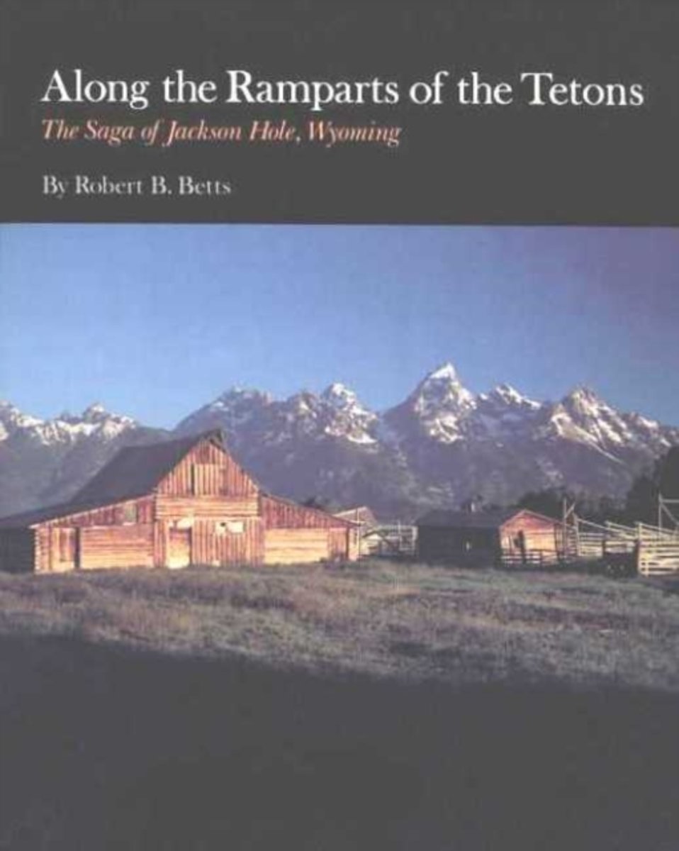
- Along the Ramparts of the Tetons
- The magnificent valley of Jackson Hole at the base of the soaring Teton Range has long been a stage on which a remarkable series of events has been acted out by an equally remarkable cast of characters. This is that story, told with a verve and excitement which brings the past alive.In these pages, the reader will witness the dramatic creation... Leer más
- Also available from:
- Bol.com, Belgium
Bol.com
Belgium
Belgium
- Along the Ramparts of the Tetons
- The magnificent valley of Jackson Hole at the base of the soaring Teton Range has long been a stage on which a remarkable series of events has been acted out by an equally remarkable cast of characters. This is that story, told with a verve and excitement which brings the past alive.In these pages, the reader will witness the dramatic creation... Leer más

Bol.com
Netherlands
Netherlands
- Scraping Heaven
- More than 3,000 miles of trail by foot and mountain bikes with llamas and toddlers . . .What could go wrong? Scraping Heaven is the story of a family's adventurous trek over the rooftop of North America, a warm and heartfelt account with a powerful message for parents, long-distance hikers, and outdoor adventurers alike. The Continental Divide... Leer más
- Also available from:
- Bol.com, Belgium
Bol.com
Belgium
Belgium
- Scraping Heaven
- More than 3,000 miles of trail by foot and mountain bikes with llamas and toddlers . . .What could go wrong? Scraping Heaven is the story of a family's adventurous trek over the rooftop of North America, a warm and heartfelt account with a powerful message for parents, long-distance hikers, and outdoor adventurers alike. The Continental Divide... Leer más
Bol.com
Netherlands
Netherlands
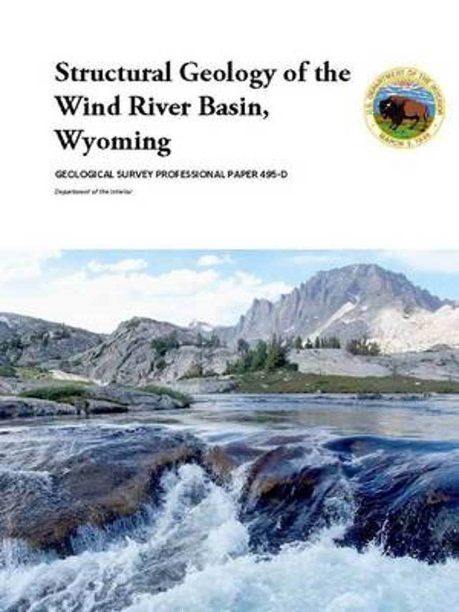
- Structural Geology of the Wind River Basin, Wyoming
- The \\\\'incl River Basin, which occupies 8,500 square miles in central ,vyoming, is typical of the large sedimentary and structural basins that formecl in the Rocky Mountain region cluring Laramide cleformation. Broacl 'belts of folded and faulted Precambrian, Paleozoic, ancl Mesozoic rocks surround the basin, including the Wind River Range on... Leer más
- Also available from:
- Bol.com, Belgium
Bol.com
Belgium
Belgium
- Structural Geology of the Wind River Basin, Wyoming
- The \\\\'incl River Basin, which occupies 8,500 square miles in central ,vyoming, is typical of the large sedimentary and structural basins that formecl in the Rocky Mountain region cluring Laramide cleformation. Broacl 'belts of folded and faulted Precambrian, Paleozoic, ancl Mesozoic rocks surround the basin, including the Wind River Range on... Leer más
Bol.com
Netherlands
Netherlands
- Seven Decades of Mountain Climbing
- Rod Harris climbed North America's peaks when the summit registers were still bare. He learned from European legends of mountaineering, saw death and danger, enjoyed Teton Tea Parties, camp life and the exhilaration of reaching summits in Colorado, Wyoming, Canada, Japan and Austria-and then he brought his friends and family along for the ride.... Leer más
- Also available from:
- Bol.com, Belgium
Bol.com
Belgium
Belgium
- Seven Decades of Mountain Climbing
- Rod Harris climbed North America's peaks when the summit registers were still bare. He learned from European legends of mountaineering, saw death and danger, enjoyed Teton Tea Parties, camp life and the exhilaration of reaching summits in Colorado, Wyoming, Canada, Japan and Austria-and then he brought his friends and family along for the ride.... Leer más

Bol.com
Netherlands
Netherlands
- Wyoming Wildlife Small Adult Coloring Book
- Portable smaller 6x9 Version of Edition 1 Wyoming Wildlife Adult Coloring Book. Includes additional coloring pages. EXTREME DETAIL because of it's smaller size. Relax and color your Wyoming Wildlife coloring book for meditation and de-stressing. Bear, antelope, deer, buffalo, fox, elk, moose, mustang, mountain goat, bighorn sheep, raccoon,... Leer más
- Also available from:
- Bol.com, Belgium
Bol.com
Belgium
Belgium
- Wyoming Wildlife Small Adult Coloring Book
- Portable smaller 6x9 Version of Edition 1 Wyoming Wildlife Adult Coloring Book. Includes additional coloring pages. EXTREME DETAIL because of it's smaller size. Relax and color your Wyoming Wildlife coloring book for meditation and de-stressing. Bear, antelope, deer, buffalo, fox, elk, moose, mustang, mountain goat, bighorn sheep, raccoon,... Leer más
Bol.com
Netherlands
Netherlands
- Upland Vegetation Monitoring in Bighorn Canyon National Recreation Area Analysis of 2011 Pilot Data
- Upland plant communities, which include sagebrush (Artemisia tridentata), juniper (Juniperus osteosperma), and juniper-mountain mahogany (Cercocarpus ledifolius) communities, are of interest to resource managers in Bighorn Canyon National Recreation Area (NRA), located in northeast Wyoming, for at least two reasons. First, these communities... Leer más
- Also available from:
- Bol.com, Belgium
Bol.com
Belgium
Belgium
- Upland Vegetation Monitoring in Bighorn Canyon National Recreation Area Analysis of 2011 Pilot Data
- Upland plant communities, which include sagebrush (Artemisia tridentata), juniper (Juniperus osteosperma), and juniper-mountain mahogany (Cercocarpus ledifolius) communities, are of interest to resource managers in Bighorn Canyon National Recreation Area (NRA), located in northeast Wyoming, for at least two reasons. First, these communities... Leer más
Mapas

Stanfords
United Kingdom
United Kingdom
- Greater Yellowstone & Grand Teton Benchnark Maps Recreation Atlas & Guide
- Greater Yellowstone and Grand Teton Recreation Atlas & Guide from Benchmark Maps in an A4 paperback format, with coverage of the two parks on detailed, GPS compatible “Recreational” section at 1:100,000, regional map coverage of a wider area, plus a 10-page recreational guide with list of various facilities, etc.The more detailed “Landscape”... Leer más

Stanfords
United Kingdom
United Kingdom
- Tower - Canyon - Yellowstone National Park WY/MT
- Map No. 304, Yellowstone NE: Tower/Canyon, WY/MT, in an extensive series of GPS compatible, contoured hiking maps of USA’s national and state parks or forests and other popular recreational areas. Cartography based on the national topographic survey, with additional tourist information.The maps, with most titles now printed on light, waterproof... Leer más
- Also available from:
- The Book Depository, United Kingdom
- De Zwerver, Netherlands

The Book Depository
United Kingdom
United Kingdom
- Yellowstone Ne/tower/canyon
- Trails Illustrated National Parks Leer más
De Zwerver
Netherlands
Netherlands
- Wandelkaart - Topografische kaart 304 Tower - Canyon - Yellowstone National Park NE | National Geographic
- Prachtige geplastificeerde kaart van het nationaal park. Met alle recreatieve voorzieningen als campsites, maar ook met topografische details en wandelroutes ed. Door uitgekiend kleurgebruik zeer prettig in gebruik. Scheur en watervast! Coverage of the Tower / Canyon area of Yellowstone National Park includes Canyon Village, Tower -... Leer más

Stanfords
United Kingdom
United Kingdom
- Old Faithful - Yellowstone National Park SW WY/MT
- Map No. 302, Yellowstone SW: Old Faithful, WY/MT, in an extensive series of GPS compatible, contoured hiking maps of USA’s national and state parks or forests and other popular recreational areas. Cartography based on the national topographic survey, with additional tourist information.The maps, with most titles now printed on light, waterproof... Leer más
- Also available from:
- The Book Depository, United Kingdom
- De Zwerver, Netherlands

The Book Depository
United Kingdom
United Kingdom
- Yellowstone Sw/old Faithful
- Trails Illustrated National Parks Leer más

De Zwerver
Netherlands
Netherlands
- Wandelkaart - Topografische kaart 302 Old Faithful, Yellowstone National Park SW | National Geographic
- Prachtige geplastificeerde kaart van het bekende nationaal park. Met alle recreatieve voorzieningen als campsites, maar ook met topografische details en wandelroutes ed. Door uitgekiend kleurgebruik zeer prettig in gebruik. Scheur en watervast! Beautiful waterproof and tear-resistant topographical hiking map of a well-loved National Park, with... Leer más

Stanfords
United Kingdom
United Kingdom
- Flaming Gorge - East Uintas UT/WY
- Map No. 704, Flaming Gorge - East Uintas, UT/WY, in an extensive series of GPS compatible, contoured hiking maps of USA’s national and state parks or forests and other popular recreational areas. Cartography based on the national topographic survey, with additional tourist information.The maps, with most titles now printed on light, waterproof... Leer más
- Also available from:
- The Book Depository, United Kingdom
- De Zwerver, Netherlands

The Book Depository
United Kingdom
United Kingdom
- Flaming Gorge/east Uintas
- Trails Illustrated Other Rec. Areas Leer más
De Zwerver
Netherlands
Netherlands
- Wandelkaart - Topografische kaart 704 Flaming Gorge National Recreation Area | National Geographic
- Prachtige geplastificeerde kaart van het bekende nationaal park. Met alle recreatieve voorzieningen als campsites, maar ook met topografische details en wandelroutes ed. Door uitgekiend kleurgebruik zeer prettig in gebruik. Scheur en watervast! Coverage includes Ashley National Forest; Flaming Gorge National Recreation Area; Eastern Uinta... Leer más

Stanfords
United Kingdom
United Kingdom
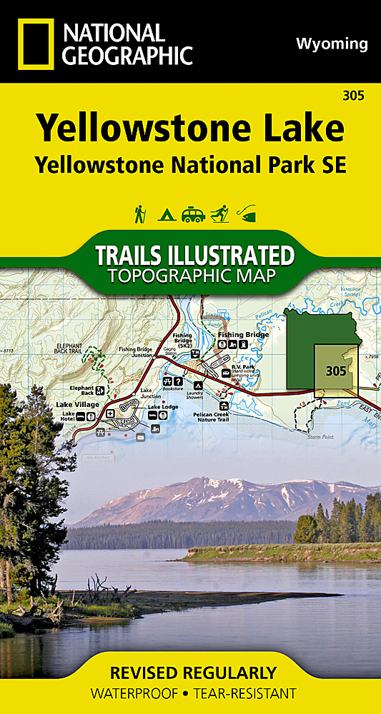
- Yellowstone Lake - Yellowstone National Park WY
- Map No. 305, Yellowstone SE: Yellowstone Lake in Wyoming, at 1:63.360 in an extensive series of GPS compatible, contoured hiking maps of USA’s national and state parks or forests and other popular recreational areas. Cartography based on the national topographic survey, with additional tourist information.The maps, with most titles now printed... Leer más
- Also available from:
- The Book Depository, United Kingdom
- De Zwerver, Netherlands

The Book Depository
United Kingdom
United Kingdom
- Yellowstone Se/yellowstone Lake
- Trails Illustrated National Parks Leer más
De Zwerver
Netherlands
Netherlands
- Wandelkaart 305 Yellowstone Lake | National Geographic
- Prachtige geplastificeerde kaart van het nationaal park. Met alle recreatieve voorzieningen als campsites, maar ook met topografische details en wandelroutes ed. Door uitgekiend kleurgebruik zeer prettig in gebruik. Scheur en watervast! Coverage of the Yellowstone Lake area of Yellowstone National Park includes Pelican Valley BMA, Clear Creek... Leer más


Stanfords
United Kingdom
United Kingdom
- Yellowstone National Park WY/MT NGS Trails Illustrated Map 201
- Map No. 201, Yellowstone National Park, WY/MT, in an extensive series of GPS compatible, contoured hiking maps of USA’s national and state parks or forests and other popular recreational areas. Cartography based on the national topographic survey, with additional tourist information.The maps, with most titles now printed on light, waterproof... Leer más
- Also available from:
- The Book Depository, United Kingdom
- Bol.com, Netherlands
- Bol.com, Belgium
- De Zwerver, Netherlands

The Book Depository
United Kingdom
United Kingdom
- Yellowstone National Park
- Trails Illustrated National Parks Leer más

Bol.com
Netherlands
Netherlands
- Yellowstone National Park
- Waterproof Tear-Resistant Topographic MapNational Geographic's Trails Illustrated map of Yellowstone National Park is designed to meet the needs of outdoor enthusiasts by combining valuable information with unmatched detail of America's first national park. Expertly researched and created in partnership with local land management... Leer más
Bol.com
Belgium
Belgium
- Yellowstone National Park
- Waterproof Tear-Resistant Topographic MapNational Geographic's Trails Illustrated map of Yellowstone National Park is designed to meet the needs of outdoor enthusiasts by combining valuable information with unmatched detail of America's first national park. Expertly researched and created in partnership with local land management... Leer más

De Zwerver
Netherlands
Netherlands
- Wandelkaart - Topografische kaart 201 Trails Illustrated Yellowstone National Park | National Geographic
- Prachtige geplastificeerde kaart van het bekende nationaal park. Met alle recreatieve voorzieningen als campsites, maar ook met topografische details en wandelroutes ed. Door uitgekiend kleurgebruik zeer prettig in gebruik. Scheur en watervast! Detailed and accurate coverage for Yellowstone National Park. Includes a detailed road network and... Leer más

Stanfords
United Kingdom
United Kingdom
- Many Glacier - Glacier and Waterton Lakes National Parks MT
- Map No. 313, Glacier National Park: North Fork, MT, in an extensive series of GPS compatible, contoured hiking maps of USA’s national and state parks or forests and other popular recreational areas. Cartography based on the national topographic survey, with additional tourist information.The maps, with most titles now printed on light,... Leer más
- Also available from:
- Bol.com, Netherlands
- Bol.com, Belgium
- De Zwerver, Netherlands

Bol.com
Netherlands
Netherlands
- Many Glacier, Glacier National Park
- Waterproof Tear-Resistant Topographic MapLocated just north of Kalispell in Montana's northwest corner, Glacier National contains an abundance of recreational opportunities for outdoor enthusiasts of all interests.This detailed topographic recreation map contains carefully researched trails, campsites, forest service roads, and... Leer más
Bol.com
Belgium
Belgium
- Many Glacier, Glacier National Park
- Waterproof Tear-Resistant Topographic MapLocated just north of Kalispell in Montana's northwest corner, Glacier National contains an abundance of recreational opportunities for outdoor enthusiasts of all interests.This detailed topographic recreation map contains carefully researched trails, campsites, forest service roads, and... Leer más

De Zwerver
Netherlands
Netherlands
- Wandelkaart - Topografische kaart 314 Many Glacier - Glacier and Waterton Lakes National Parks | National Geographic
- Prachtige geplastificeerde kaart van het bekende nationaal park. Met alle recreatieve voorzieningen als campsites, maar ook met topografische details en wandelroutes ed. Door uitgekiend kleurgebruik zeer prettig in gebruik. Scheur en watervast! Located just north of Kalispell in Montana's northwest corner, Glacier National contains an... Leer más

Stanfords
United Kingdom
United Kingdom
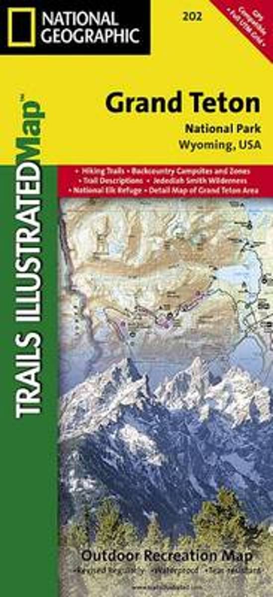
- Grand Teton National Park WY NGS Trails Illustrated Map 202
- Map No. 202, Grand Teton National Park, WY, in an extensive series of GPS compatible, contoured hiking maps of USA’s national and state parks or forests and other popular recreational areas. Cartography based on the national topographic survey, with additional tourist information.The maps, with most titles now printed on light, waterproof and... Leer más
- Also available from:
- The Book Depository, United Kingdom
- Bol.com, Netherlands
- Bol.com, Belgium
- De Zwerver, Netherlands

The Book Depository
United Kingdom
United Kingdom
- Grand Teton National Park
- Trails Illustrated National Parks Leer más
Bol.com
Netherlands
Netherlands
- Grand Teton National Park
- Waterproof Tear-Resistant Topographic MapExpertly researched and created in partnership with local land management agencies, National Geographic's Trails Illustrated map of Grand Teton National Park provides an unparalleled tool for exploring this magnificent region. This map offers unmatched detail of the entire park and features key... Leer más
Bol.com
Belgium
Belgium
- Grand Teton National Park
- Waterproof Tear-Resistant Topographic MapExpertly researched and created in partnership with local land management agencies, National Geographic's Trails Illustrated map of Grand Teton National Park provides an unparalleled tool for exploring this magnificent region. This map offers unmatched detail of the entire park and features key... Leer más

De Zwerver
Netherlands
Netherlands
- Wandelkaart 202 Grand Teton National Park | National Geographic
- Prachtige geplastificeerde kaart van het bekende nationaal park. Met alle recreatieve voorzieningen als campsites, maar ook met topografische details en wandelroutes ed. Door uitgekiend kleurgebruik zeer prettig in gebruik. Scheur en watervast! De meeste kaarten hebben een UTM grid en zijn dan ook GPS toepasbaar. Coverage includes town of Lead,... Leer más

Stanfords
United Kingdom
United Kingdom
- Telluride - Silverton - Ouray - Lake City CO
- Map No. 141, Telluride - Silverton - Ouray - Lake City, CO, in an extensive series of GPS compatible, contoured hiking maps of USA’s national and state parks or forests and other popular recreational areas. Cartography based on the national topographic survey, with additional tourist information.The maps, with most titles now printed on light,... Leer más
- Also available from:
- The Book Depository, United Kingdom
- Bol.com, Netherlands
- Bol.com, Belgium
- De Zwerver, Netherlands


Bol.com
Netherlands
Netherlands
- Telluride/silverton/ouray/lake City
- Waterproof Tear-Resistant Topographic MapExpertly researched and created in partnership with local land management agencies, National Geographic's Trails Illustrated map of Telluride, Silverton, Ouray, and Lake City provides an unparalleled tool for exploring this breathtaking region of Colorado. Whatever the season, you'll find this map... Leer más
Bol.com
Belgium
Belgium
- Telluride/silverton/ouray/lake City
- Waterproof Tear-Resistant Topographic MapExpertly researched and created in partnership with local land management agencies, National Geographic's Trails Illustrated map of Telluride, Silverton, Ouray, and Lake City provides an unparalleled tool for exploring this breathtaking region of Colorado. Whatever the season, you'll find this map... Leer más

De Zwerver
Netherlands
Netherlands
- Wandelkaart - Topografische kaart 141 Telluride, Silverton, Ouray, Lake City | National Geographic
- Prachtige geplastificeerde kaart van het bekende nationaal park. Met alle recreatieve voorzieningen als campsites, maar ook met topografische details en wandelroutes ed. Door uitgekiend kleurgebruik zeer prettig in gebruik. Scheur en watervast! Beautiful waterproof and tear-resistant topographical hiking map of a well-loved National Park, with... Leer más

Bol.com
Netherlands
Netherlands
- Grand Canyon East
- Waterproof Tear-Resistant Topographic MapGrand Canyon East (#262) and Grand Canyon West (#263) combine to cover the entire Grand Canyon National Park and its bordering public lands. Both maps contain detailed and easy-to-read trail and road networks, locations of facilities, points of interest, and highly accurate terrain with thousands... Leer más
- Also available from:
- Bol.com, Belgium
- De Zwerver, Netherlands
Bol.com
Belgium
Belgium
- Grand Canyon East
- Waterproof Tear-Resistant Topographic MapGrand Canyon East (#262) and Grand Canyon West (#263) combine to cover the entire Grand Canyon National Park and its bordering public lands. Both maps contain detailed and easy-to-read trail and road networks, locations of facilities, points of interest, and highly accurate terrain with thousands... Leer más

De Zwerver
Netherlands
Netherlands
- Wandelkaart 262 Grand Canyon East - Oost | National Geographic
- Prachtige geplastificeerde kaart van het nationaal park. Met alle recreatieve voorzieningen als campsites, maar ook met topografische details en wandelroutes ed. Door uitgekiend kleurgebruik zeer prettig in gebruik. Scheur en watervast! Grand Canyon East (#262) and Grand Canyon West (#263) combine to cover the entire Grand Canyon National Park... Leer más

Stanfords
United Kingdom
United Kingdom
- Bryce Canyon National Park UT NGS Trails Illustrated Map 219
- Map No. 219, Bryce Canyon National Park, UT, in an extensive series of GPS compatible, contoured hiking maps of USA’s national and state parks or forests and other popular recreational areas. Cartography based on the national topographic survey, with additional tourist information.The maps, with most titles now printed on light, waterproof and... Leer más
- Also available from:
- The Book Depository, United Kingdom
- Bol.com, Netherlands
- Bol.com, Belgium
- De Zwerver, Netherlands

The Book Depository
United Kingdom
United Kingdom
- Bryce Canyon National Park
- Trails Illustrated National Parks Leer más

Bol.com
Netherlands
Netherlands
- Bryce Canyon National Park
- Waterproof Tear-Resistant Topographic MapNational Geographic's Trails Illustrated map of Bryce Canyon National Park is designed to meet the needs of outdoor enthusiasts by combining valuable information with unmatched detail of this unique landscape of hoodoos and forest. Created in partnership with local land management agencies, this... Leer más
Bol.com
Belgium
Belgium
- Bryce Canyon National Park
- Waterproof Tear-Resistant Topographic MapNational Geographic's Trails Illustrated map of Bryce Canyon National Park is designed to meet the needs of outdoor enthusiasts by combining valuable information with unmatched detail of this unique landscape of hoodoos and forest. Created in partnership with local land management agencies, this... Leer más

De Zwerver
Netherlands
Netherlands
- Wandelkaart - Topografische kaart 219 Bryce Canyon National Park | National Geographic
- Prachtige geplastificeerde kaart van het bekende nationaal park. Met alle recreatieve voorzieningen als campsites, maar ook met topografische details en wandelroutes ed. Door uitgekiend kleurgebruik zeer prettig in gebruik. Scheur en watervast! This informative Trails Illustrated map will help you plan trips and explore the area in and around... Leer más

Stanfords
United Kingdom
United Kingdom
- Glacier - Waterton Lakes National Park MT
- Map No. 215, Glacier/Waterton Lakes National Park, MT, in an extensive series of GPS compatible, contoured hiking maps of USA’s national and state parks or forests and other popular recreational areas. Cartography based on the national topographic survey, with additional tourist information.The maps, with most titles now printed on light,... Leer más
- Also available from:
- Bol.com, Netherlands
- Bol.com, Belgium
- De Zwerver, Netherlands

Bol.com
Netherlands
Netherlands
- Glacier/waterton Lakes National Parks
- Waterproof Tear-Resistant Topographic MapNational Geographic's Trails Illustrated map of Glacier and Waterton Lakes National Parks offers unparalleled detail for outdoor enthusiasts exploring the pristine landscape of forests, mountains, lakes, and meadows within these two spectacular parks. Created in partnership with local land... Leer más
Bol.com
Belgium
Belgium
- Glacier/waterton Lakes National Parks
- Waterproof Tear-Resistant Topographic MapNational Geographic's Trails Illustrated map of Glacier and Waterton Lakes National Parks offers unparalleled detail for outdoor enthusiasts exploring the pristine landscape of forests, mountains, lakes, and meadows within these two spectacular parks. Created in partnership with local land... Leer más

De Zwerver
Netherlands
Netherlands
- Wandelkaart - Topografische kaart 215 Glacier - Waterton Lakes National Park | National Geographic
- Prachtige geplastificeerde kaart van het bekende nationaal park. Met alle recreatieve voorzieningen als campsites, maar ook met topografische details en wandelroutes ed. Door uitgekiend kleurgebruik zeer prettig in gebruik. Scheur en watervast! Waterton Lakes National Park, Canada includes Waterton Park, Upper and Middle Waterton Lakes, The... Leer más

Stanfords
United Kingdom
United Kingdom
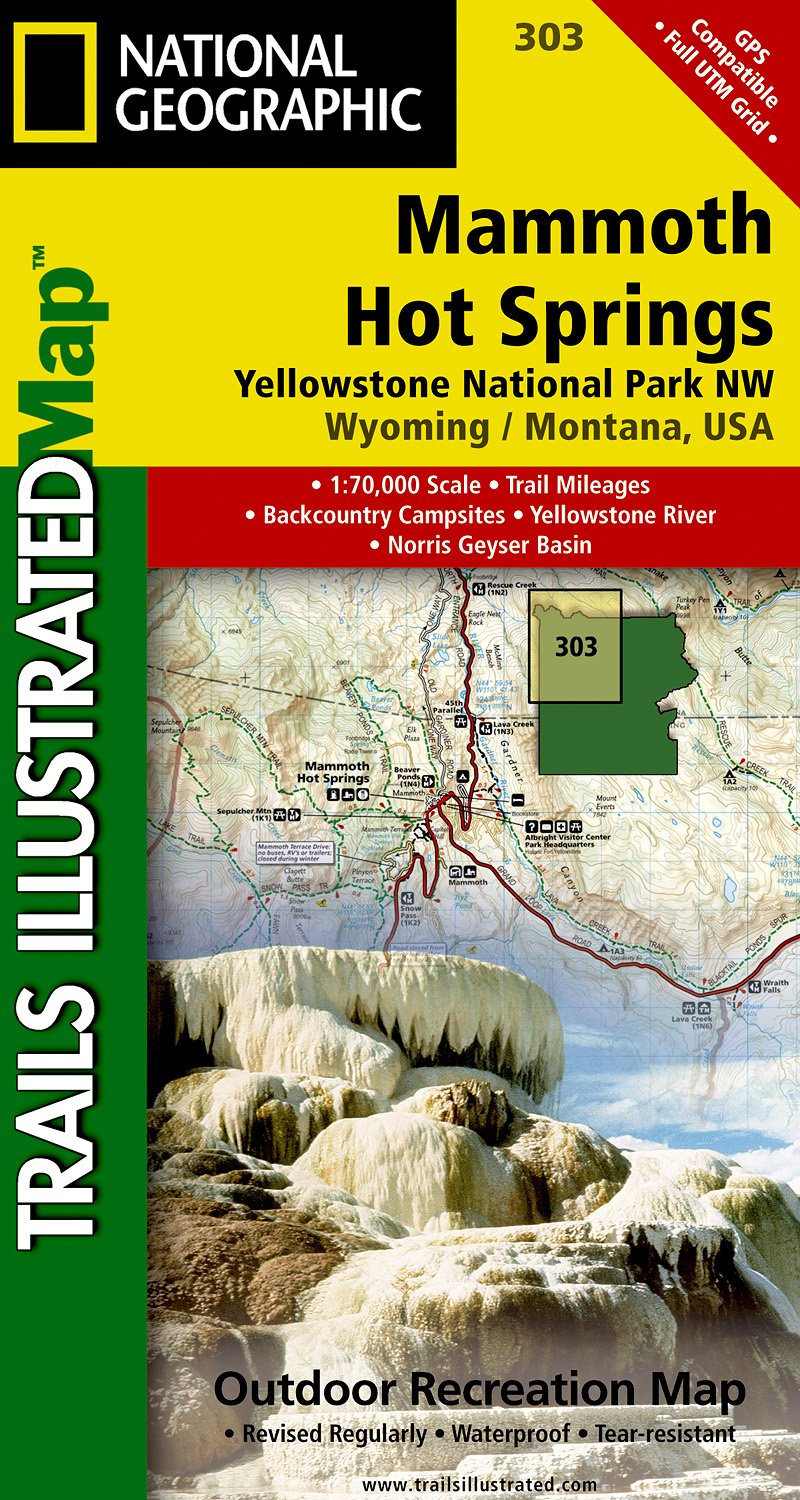
- Mammoth Hot Springs - Yellowstone National Park NW WY/MT
- Map No. 303, Yellowstone NW: Mammoth Hot Springs, WY/MT, in an extensive series of GPS compatible, contoured hiking maps of USA’s national and state parks or forests and other popular recreational areas. Cartography based on the national topographic survey, with additional tourist information.The maps, with most titles now printed on light,... Leer más
- Also available from:
- De Zwerver, Netherlands
De Zwerver
Netherlands
Netherlands
- Wandelkaart - Topografische kaart 303 Mammoth Hot Springs Yellowstone National Park | National Geographic
- Prachtige geplastificeerde kaart van het nationaal park. Met alle recreatieve voorzieningen als campsites, maar ook met topografische details en wandelroutes ed. Door uitgekiend kleurgebruik zeer prettig in gebruik. Scheur en watervast! Coverage of the Old Faithful area of Yellowstone National Park includes Heart Lake BMA, Pitchstone Plateau,... Leer más