
Montana
Descripción
Montana, a north country state bordering on Canada, has a mountainous west part, bordering on Idaho.
Here you will find the Continental Divide Trail (961 miles of it), the Great Western Trail, and the Pacific Northwest Trail.
Best for hiking is the Glacier National Park with alpine hiking and passes covered in snow until well into July.
There are major national forests in Montana, offering thousends of miles of spectacular hiking: Flathead National Forest, Lolo National Forest, Gallatin National Forest, Lewis and Clark national Forest, Beaverhead National Forest, Bitterroot National Forest, Kootenai National Forest, to mention the most important ones.
Mapa

Senderos en estado
Enlaces
Datos
Informes
Guías y mapas
Hospedaje
Organizaciones
Operadores turísticos
GPS
Otro
Libros

Stanfords
United Kingdom
2014
United Kingdom
2014
- La Gomera and Southern Tenerife: Car Tours and Walks
- Southern Tenerife and La Gomera is the Sunflower Landscapes guide to exploring the best walking and touring possibilities in the region. The guide covers a range of routes including walks in Montana Guaza, Masca, Arure, Degollada de Peraza and Vallehermoso. A double-sided, fold-out touring map at the back of the book gives an overview of... Leer más

Stanfords
United Kingdom
United Kingdom
- Best of Canmore Gem Trek
- Best of Camnore, a contoured and GPS compatible, waterproof and tear-resistant map/guide at 1:35,000 from Gem Trek, designed for people who are only going to be in Camnore for one to three days and want to know the highlights. On one side is a detailed, relief-shaded topographic map of the Canmore area, covering Canmore Nordic Centre Provincial... Leer más

Stanfords
United Kingdom
United Kingdom
- Missoula - Mission Mountains MT
- Map No. 724, Missoula - Mission Mountains in Montana at 1:70,000, part of an extensive series of GPS compatible, contoured hiking maps of USA’s national and state parks or forests and other popular recreational areas. Cartography, based on the national topographic survey, has extensive additional tourist information.The maps, printed on light,... Leer más


The Book Depository
United Kingdom
United Kingdom
- Montana Outdoor Recreation Web Guide
- An Internet directory guide to Montana's outdoors Leer más

Stanfords
United Kingdom
2022
United Kingdom
2022
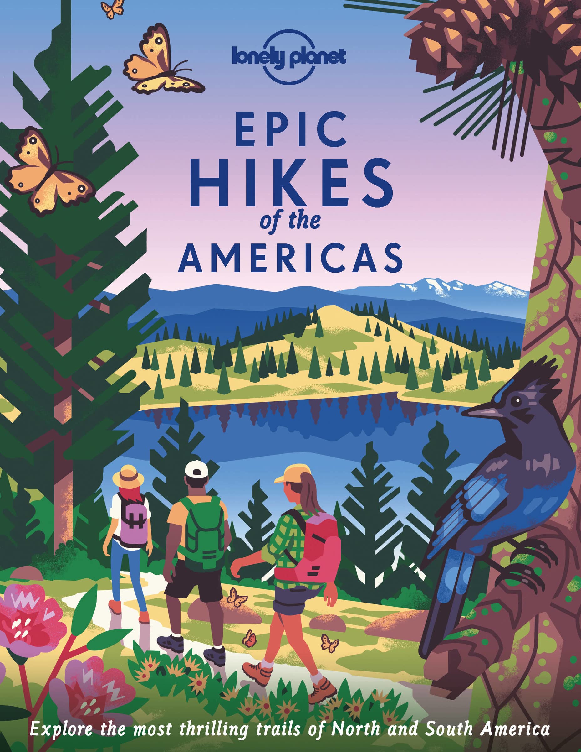
- Epic Hikes of the Americas
- Lace up your hiking boots for the next in Lonely Planet`s highly successful Epic Hikes series, this time exploring 50 of the Americas` most rewarding treks and trails. From Canada`s longest hut-to-hut hike, the Sunshine Coast Trail, to a descent through Havasu Canyon in the USA, and the Santa Cruz Trail of northern Peru, we cover a huge variety... Leer más
- Also available from:
- The Book Depository, United Kingdom
- De Zwerver, Netherlands

The Book Depository
United Kingdom
2022
United Kingdom
2022
- Lonely Planet Epic Hikes of the Americas
- Lace up your hiking boots for the next in Lonely Planet`s highly successful Epic Hikes series, this time exploring 50 of the Americas` most rewarding treks and trails. From Canada`s longest hut-to-hut hike, the Sunshine Coast Trail, to a descent through Havasu Canyon in the USA, and the Santa Cruz Trail of northern Peru, we cover a huge variety... Leer más
De Zwerver
Netherlands
2022
Netherlands
2022
- Wandelgids Epic Hikes of the Americas | Lonely Planet
- Lace up your hiking boots for the next in Lonely Planet`s highly successful Epic Hikes series, this time exploring 50 of the Americas` most rewarding treks and trails. From Canada`s longest hut-to-hut hike, the Sunshine Coast Trail, to a descent through Havasu Canyon in the USA, and the Santa Cruz Trail of northern Peru, we cover a huge variety... Leer más

The Book Depository
United Kingdom
2022
United Kingdom
2022
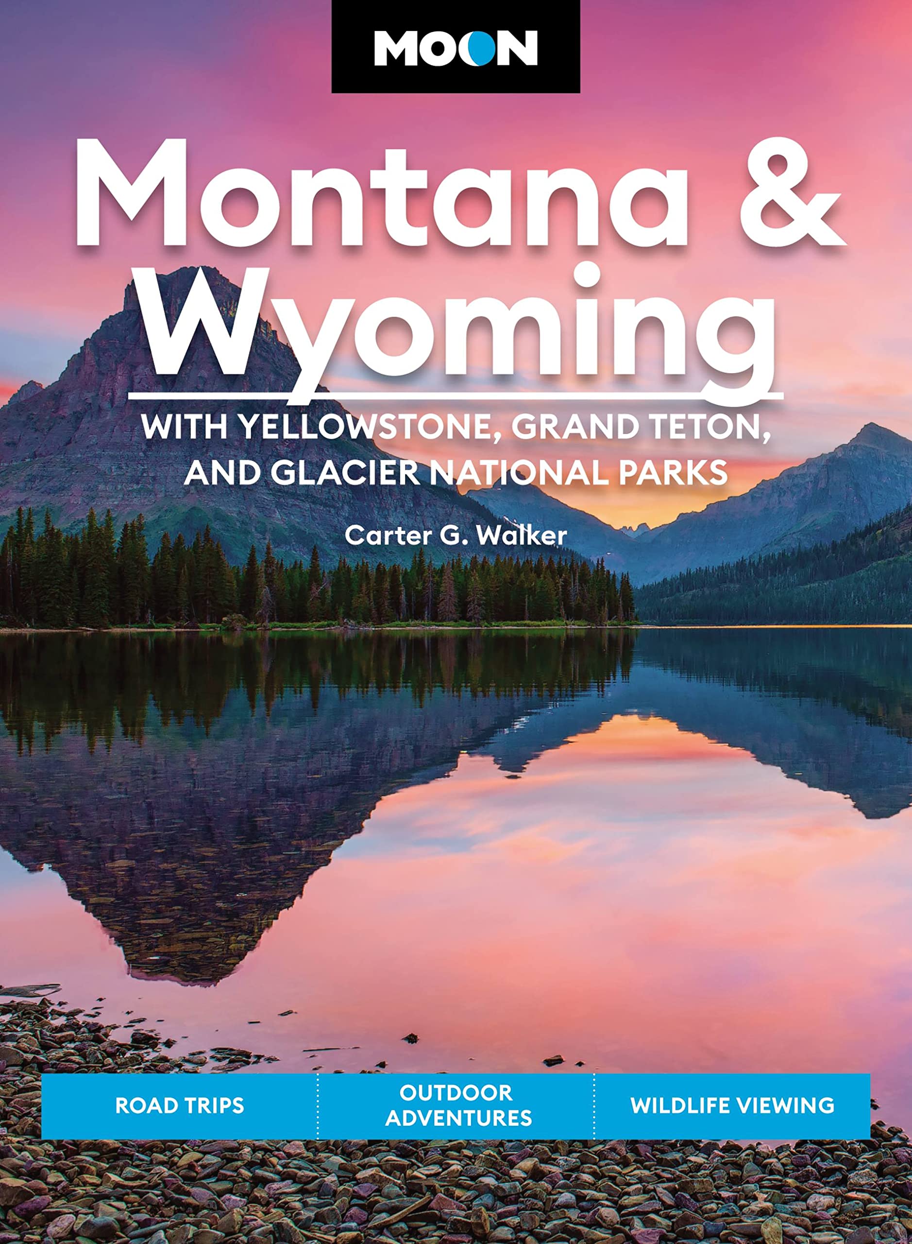
- Moon Montana & Wyoming: With Yellowstone, Grand Teton & Glacier National Parks (Fifth Edition)
- Road Trips, Outdoor Adventures, Wildlife Viewing Leer más
- Also available from:
- De Zwerver, Netherlands
De Zwerver
Netherlands
2022
Netherlands
2022
- Reisgids Montana - Wyoming | Moon Travel Guides
- Road Trips, Outdoor Adventures, Wildlife Viewing Leer más
Bol.com
Netherlands
Netherlands
- Rollin’ Down the River
- It started with an inherited idea and ended with an amazing roadtrip! Having learned of a similar trip taken on the Mississippi River by Gayle Harper, described in her 2014 book Roadtrip with a Raindrop (Acclaim Press), author Larry Campbell remembers thinking, “what a neat idea – wouldn’t that be fun to do on the... Leer más
- Also available from:
- Bol.com, Belgium
Bol.com
Belgium
Belgium
- Rollin’ Down the River
- It started with an inherited idea and ended with an amazing roadtrip! Having learned of a similar trip taken on the Mississippi River by Gayle Harper, described in her 2014 book Roadtrip with a Raindrop (Acclaim Press), author Larry Campbell remembers thinking, “what a neat idea – wouldn’t that be fun to do on the... Leer más
Bol.com
Netherlands
Netherlands
- Los Angeles Travel Guide (Quick Trips Series)
- Enjoy your trip to the United States with the Los Angeles Travel Guide: Sights, Culture, Food, Shopping & Fun. The Quick Trips to the United States Series provides key information about the best sights and experiences if you have just a few days to spend in the exciting destination of Los Angeles. So don't waste time We give you sharp facts... Leer más
- Also available from:
- Bol.com, Belgium
Bol.com
Belgium
Belgium
- Los Angeles Travel Guide (Quick Trips Series)
- Enjoy your trip to the United States with the Los Angeles Travel Guide: Sights, Culture, Food, Shopping & Fun. The Quick Trips to the United States Series provides key information about the best sights and experiences if you have just a few days to spend in the exciting destination of Los Angeles. So don't waste time We give you sharp facts... Leer más
Bol.com
Netherlands
Netherlands
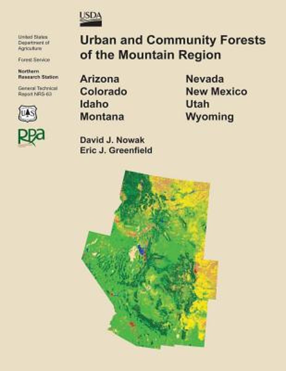
- Urban and Community Forests of the Mountain Region
- This report details how land cover and urbanization vary within the states of Arizona, Colorado, Idaho, Montana, Nevada, New Mexico, Utah, and Wyoming by community (incorporated and census designed places), county subdivision, and county. Specifically this report provides critical urban and community forestry information for each state... Leer más
- Also available from:
- Bol.com, Belgium
Bol.com
Belgium
Belgium
- Urban and Community Forests of the Mountain Region
- This report details how land cover and urbanization vary within the states of Arizona, Colorado, Idaho, Montana, Nevada, New Mexico, Utah, and Wyoming by community (incorporated and census designed places), county subdivision, and county. Specifically this report provides critical urban and community forestry information for each state... Leer más
Bol.com
Netherlands
Netherlands
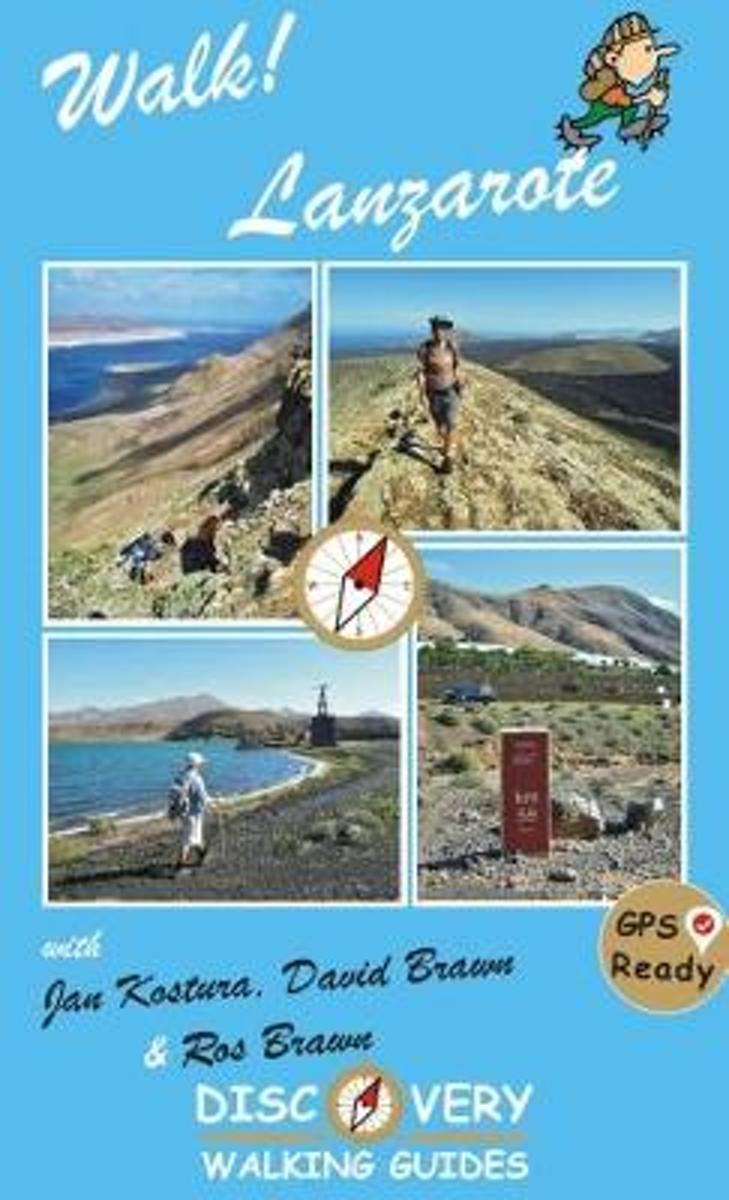
- Walk Lanzarote
- Lanzarote's most popular walking guide book just got even better. Walk! Lanzarote 4th edition builds on the reputation of our earlier editions with more walks and comprehensive updating so that it caters for the needs of the increasing number of people who would like to combine some walking with a holiday on the Fire island. Walk Lanzarote... Leer más
- Also available from:
- Bol.com, Belgium
Bol.com
Belgium
Belgium
- Walk Lanzarote
- Lanzarote's most popular walking guide book just got even better. Walk! Lanzarote 4th edition builds on the reputation of our earlier editions with more walks and comprehensive updating so that it caters for the needs of the increasing number of people who would like to combine some walking with a holiday on the Fire island. Walk Lanzarote... Leer más
Bol.com
Netherlands
Netherlands
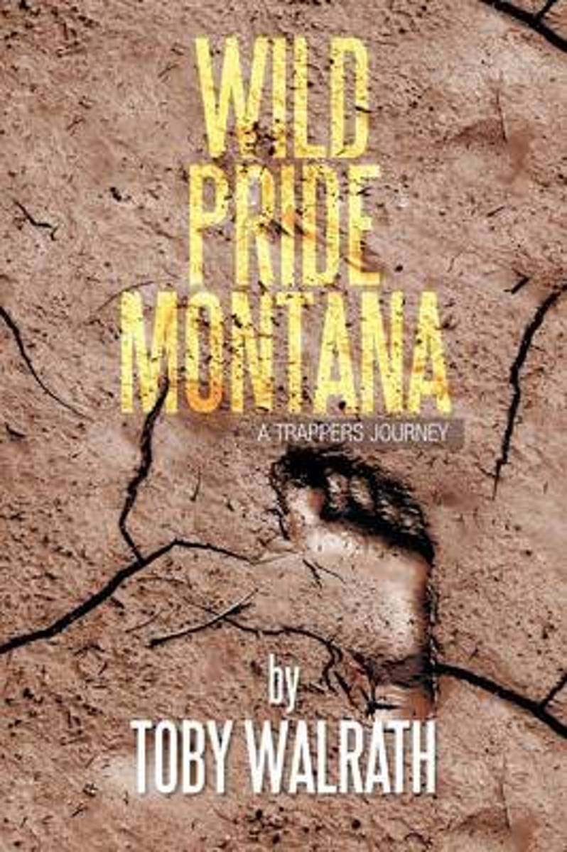
- Wild Pride Montana
- Fur trapping in North America began at the turn of the sixteenth century when rugged mountain men pushed ever westward in search of beaver. These entrepreneurs possessed an unmatched sense of adventure, a relentless drive to succeed, and an uncanny ability to survive. The intimacy between man and nature discovered by these early explorers has... Leer más
- Also available from:
- Bol.com, Belgium
Bol.com
Belgium
Belgium
- Wild Pride Montana
- Fur trapping in North America began at the turn of the sixteenth century when rugged mountain men pushed ever westward in search of beaver. These entrepreneurs possessed an unmatched sense of adventure, a relentless drive to succeed, and an uncanny ability to survive. The intimacy between man and nature discovered by these early explorers has... Leer más

Stanfords
United Kingdom
United Kingdom
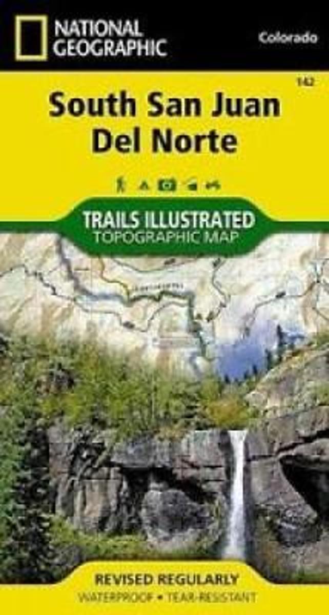
- South San Juan - Del Norte CO
- Map No. 142, South San Juan - Del Norte, CO, in an extensive series of GPS compatible, contoured hiking maps of USA’s national and state parks or forests and other popular recreational areas. Cartography based on the national topographic survey, with additional tourist information.The maps, with most titles now printed on light, waterproof and... Leer más
- Also available from:
- The Book Depository, United Kingdom
- Bol.com, Netherlands
- Bol.com, Belgium

Bol.com
Netherlands
Netherlands
- South San Juan/del Norte
- Waterproof Tear-Resistant Topographic MapCoverage includes Rio Grande and San Juan national forests; South San Juan Wilderness; Dipping Lakes and Spiler Lakes; Lost Lake; Platoro and Fuchs Reservoirs; South Fork and Conejos rivers; the cities of Del Norte, South Fork, Wagon Wheel Gap, Summitville, Jasper, Cumbres, Platoro; and the... Leer más
Bol.com
Belgium
Belgium
- South San Juan/del Norte
- Waterproof Tear-Resistant Topographic MapCoverage includes Rio Grande and San Juan national forests; South San Juan Wilderness; Dipping Lakes and Spiler Lakes; Lost Lake; Platoro and Fuchs Reservoirs; South Fork and Conejos rivers; the cities of Del Norte, South Fork, Wagon Wheel Gap, Summitville, Jasper, Cumbres, Platoro; and the... Leer más
Bol.com
Netherlands
Netherlands
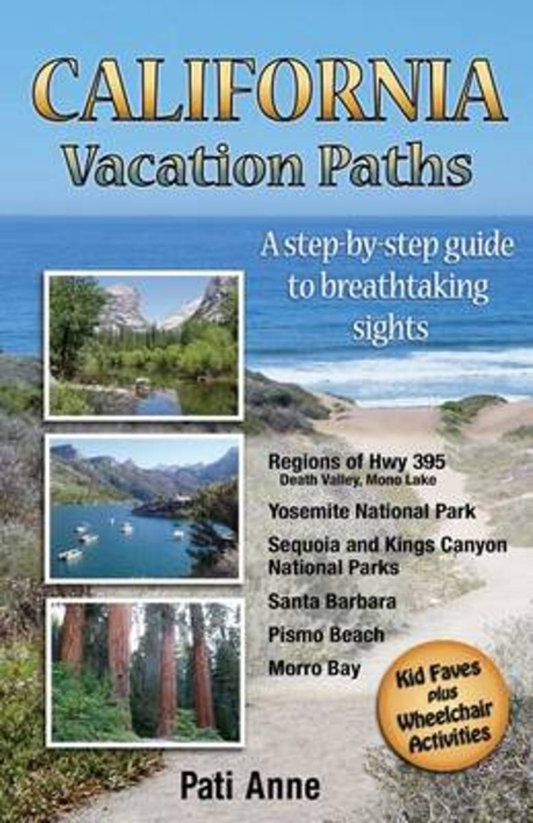
- California Vacation Paths
- Take the path less traveled Everyone is invited to walk a different road with this unique California travel guide. One main path leads visitors through six areas of California which hold some of the world's most breathtaking sights. No planning is needed; just follow this travel guide to activities that are laid out in successive order. Take... Leer más
- Also available from:
- Bol.com, Belgium
Bol.com
Belgium
Belgium
- California Vacation Paths
- Take the path less traveled Everyone is invited to walk a different road with this unique California travel guide. One main path leads visitors through six areas of California which hold some of the world's most breathtaking sights. No planning is needed; just follow this travel guide to activities that are laid out in successive order. Take... Leer más
Bol.com
Netherlands
Netherlands
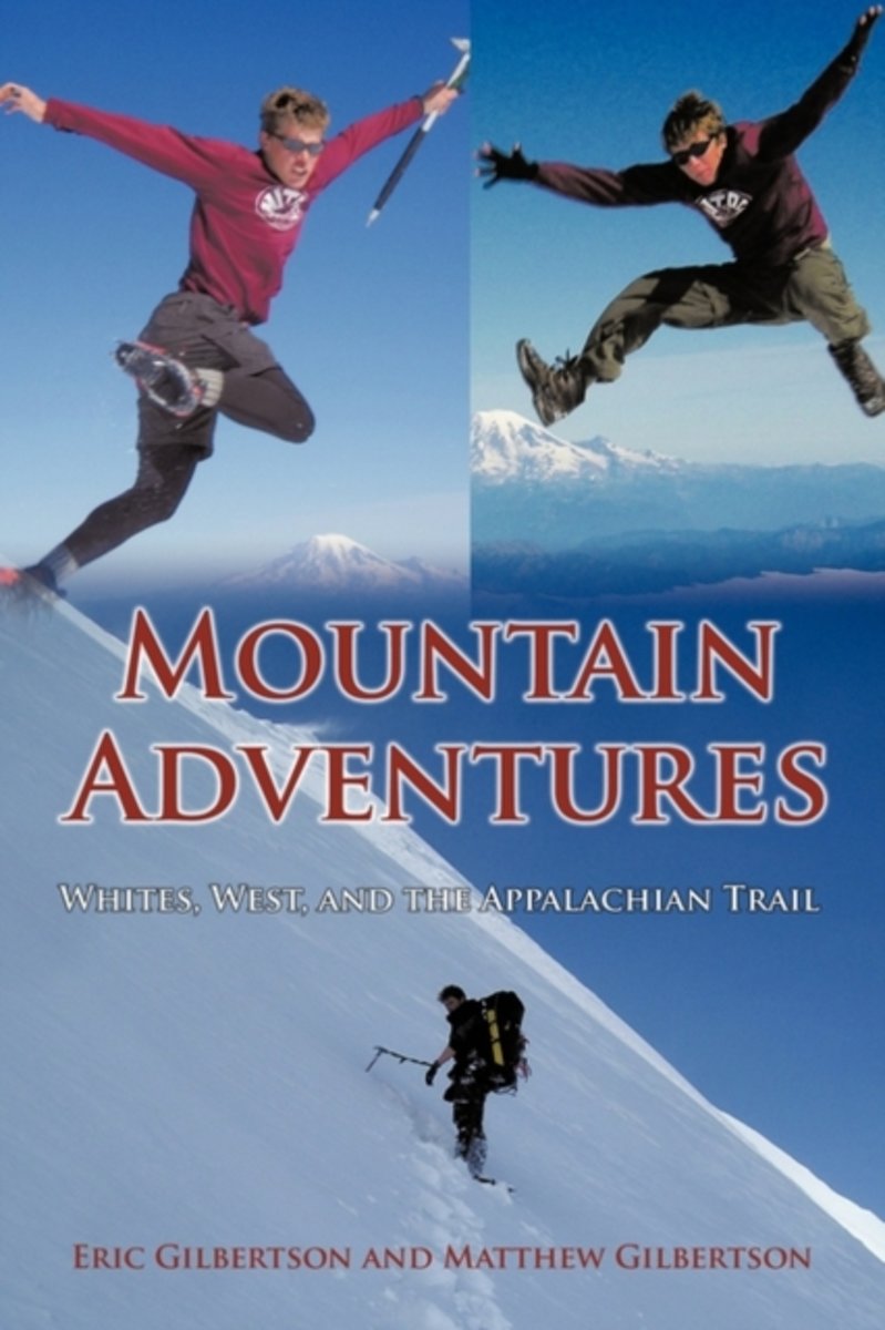
- Mountain Adventures
- During their five years at MIT the Gilbertson twins have challenged themselves to a variety of adventures in the White Mountains of New Hampshire, numerous mountain climbs in the western United States and hiked the entire 2100] miles of the Appalachian Trail. In this collection of stories, readers will travel with the adventurers up and down... Leer más
- Also available from:
- Bol.com, Belgium
Bol.com
Belgium
Belgium
- Mountain Adventures
- During their five years at MIT the Gilbertson twins have challenged themselves to a variety of adventures in the White Mountains of New Hampshire, numerous mountain climbs in the western United States and hiked the entire 2100] miles of the Appalachian Trail. In this collection of stories, readers will travel with the adventurers up and down... Leer más
Mapas

Stanfords
United Kingdom
United Kingdom
- Banff - Egypt Lake Gem Trek
- Banff - Egypt Lake, a contoured and GPS compatible map at 1:50,000 from Gem Trek of the main hiking area in the Banff National Park, with coverage around Banff itself, including trails eastwards to Lake Minnewanka and Johnson, and extending westwards across the state border to include parts of Kootenay NP and Mt. Assiniboine Provincial Park.... Leer más

Stanfords
United Kingdom
United Kingdom
- Montaña Palentina y Sur de la Liébana CNIG
- Montaña Palentina, just south-east of the Picos de Europa, on a contoured and GPS compatible map at 1:50,000 from IGN/CNIG with cartography from their topographic survey of Spain. The map has contours at 20m intervals enhanced by bold relief shading, plus colouring and graphics to show different types of vegetation. Mountain refuges are... Leer más
Stanfords
United Kingdom
United Kingdom
- Comunita Montana del Fortore
- Fortore commune in the mountains along the north-eastern corner of Campania on a detailed, countered map at 1:50,000 from Ed. Abies, with notes about the area and other tourist information. The map is centered on the villages of Molinara, Montefalcone di Valforte and Foiano di Valfortre, with the town of Benevento in its south-western... Leer más

Stanfords
United Kingdom
United Kingdom
- Greater Yellowstone & Grand Teton Benchnark Maps Recreation Atlas & Guide
- Greater Yellowstone and Grand Teton Recreation Atlas & Guide from Benchmark Maps in an A4 paperback format, with coverage of the two parks on detailed, GPS compatible “Recreational” section at 1:100,000, regional map coverage of a wider area, plus a 10-page recreational guide with list of various facilities, etc.The more detailed “Landscape”... Leer más

Stanfords
United Kingdom
United Kingdom
- Kootenay Rockies - Calgary and Northern Montana Back Road Atlas
- South-eastern British Columbia with the adjoining regions of Alberta including the Banff and Jasper NP plus the border area of Montana with the Glacier NP presented at 1:250,000 in an A4 paperback road atlas with additional street plans, a listing of local events, etc.Mapping at 1:250,000 covers the areas indicated on our coverage image.... Leer más

Stanfords
United Kingdom
United Kingdom
- Isla de Montana Clara 25K Lanzarote CNIG Topographic Survey Map No. 1079-IV
- Topographic coverage of the Canary Islands at 1:25,000 published by the Instituto Geográfico Nacional – Centro Nacional de Información Geografica, the country’s civilian survey organization. The maps have contours at 10m intervals and colouring and/or graphics to show different types of vegetation or land use. Boundaries of national parks and... Leer más

Stanfords
United Kingdom
United Kingdom
- Old Faithful - Yellowstone National Park SW WY/MT
- Map No. 302, Yellowstone SW: Old Faithful, WY/MT, in an extensive series of GPS compatible, contoured hiking maps of USA’s national and state parks or forests and other popular recreational areas. Cartography based on the national topographic survey, with additional tourist information.The maps, with most titles now printed on light, waterproof... Leer más
- Also available from:
- The Book Depository, United Kingdom
- De Zwerver, Netherlands

The Book Depository
United Kingdom
United Kingdom
- Yellowstone Sw/old Faithful
- Trails Illustrated National Parks Leer más

De Zwerver
Netherlands
Netherlands
- Wandelkaart - Topografische kaart 302 Old Faithful, Yellowstone National Park SW | National Geographic
- Prachtige geplastificeerde kaart van het bekende nationaal park. Met alle recreatieve voorzieningen als campsites, maar ook met topografische details en wandelroutes ed. Door uitgekiend kleurgebruik zeer prettig in gebruik. Scheur en watervast! Beautiful waterproof and tear-resistant topographical hiking map of a well-loved National Park, with... Leer más

Stanfords
United Kingdom
United Kingdom
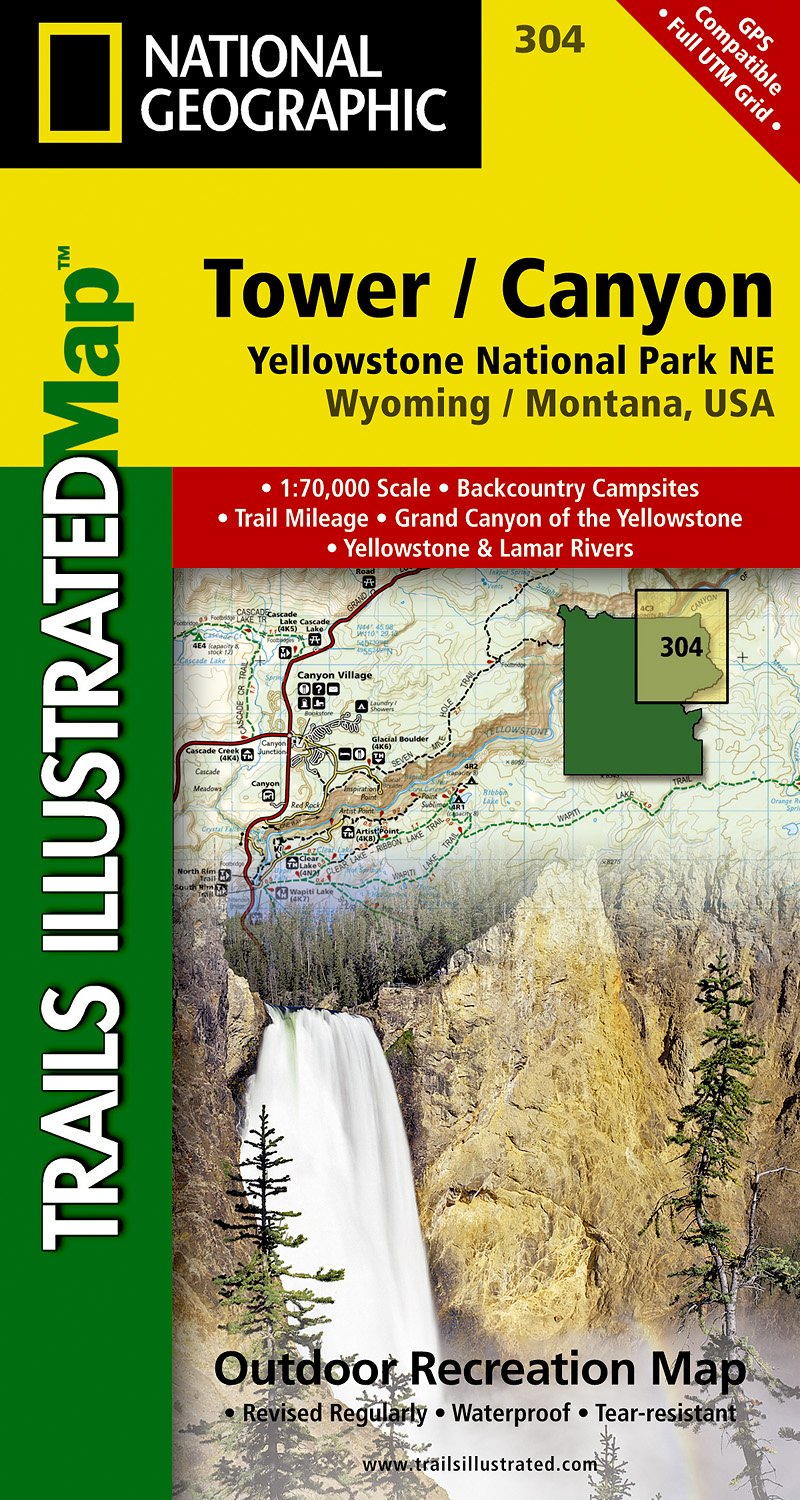
- Tower - Canyon - Yellowstone National Park WY/MT
- Map No. 304, Yellowstone NE: Tower/Canyon, WY/MT, in an extensive series of GPS compatible, contoured hiking maps of USA’s national and state parks or forests and other popular recreational areas. Cartography based on the national topographic survey, with additional tourist information.The maps, with most titles now printed on light, waterproof... Leer más
- Also available from:
- The Book Depository, United Kingdom
- De Zwerver, Netherlands

The Book Depository
United Kingdom
United Kingdom
- Yellowstone Ne/tower/canyon
- Trails Illustrated National Parks Leer más
De Zwerver
Netherlands
Netherlands
- Wandelkaart - Topografische kaart 304 Tower - Canyon - Yellowstone National Park NE | National Geographic
- Prachtige geplastificeerde kaart van het nationaal park. Met alle recreatieve voorzieningen als campsites, maar ook met topografische details en wandelroutes ed. Door uitgekiend kleurgebruik zeer prettig in gebruik. Scheur en watervast! Coverage of the Tower / Canyon area of Yellowstone National Park includes Canyon Village, Tower -... Leer más

Stanfords
United Kingdom
United Kingdom
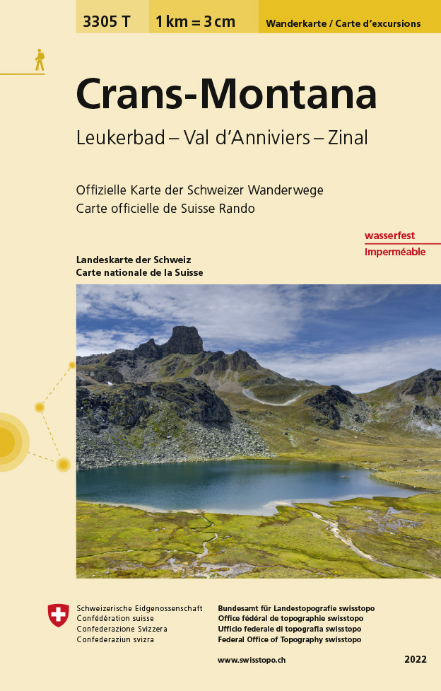
- Crans-Montana - Leukerbad - Val d`Anniviers - Zinal Swisstopo Hiking 3305T
- Crans-Montana - Leukerbad - Val d’Anniviers - Zinal area at 1:33,333 on light, waterproof and tear-resistant map No. 3305T published by Swisstopo in cooperation with the Swiss Hiking Federation. Cartography is the same as in Swisstopo’s 50K hiking maps, simply enlarged to 1:33,333 for extra clarity but without additional information. With... Leer más
- Also available from:
- The Book Depository, United Kingdom
- De Zwerver, Netherlands

The Book Depository
United Kingdom
United Kingdom
- Craens - Montana
- Een nieuwe serie van de Zwitserse topografische dienst: eindelijk goede wandelkaarten met ingetekende wandelroutes op scheur- en watervast papier. Vooralsnog zijn ze uitgebracht van de populaire wandelgebieden en niet landelijk dekkend (zie overzicht) Op een gedetailleerde schaal van 1:33.333 met als ondergrond de onovertroffen topografische... Leer más
De Zwerver
Netherlands
Netherlands
- Wandelkaart - Topografische kaart 3305T Crans-Montana | Swisstopo
- Een nieuwe serie van de Zwitserse topografische dienst: eindelijk goede wandelkaarten met ingetekende wandelroutes op scheur- en watervast papier. Vooralsnog zijn ze uitgebracht van de populaire wandelgebieden en niet landelijk dekkend (zie overzicht) Op een gedetailleerde schaal van 1:33.333 met als ondergrond de onovertroffen topografische... Leer más

Stanfords
United Kingdom
United Kingdom
- Yellowstone National Park WY/MT NGS Trails Illustrated Map 201
- Map No. 201, Yellowstone National Park, WY/MT, in an extensive series of GPS compatible, contoured hiking maps of USA’s national and state parks or forests and other popular recreational areas. Cartography based on the national topographic survey, with additional tourist information.The maps, with most titles now printed on light, waterproof... Leer más
- Also available from:
- The Book Depository, United Kingdom
- Bol.com, Netherlands
- Bol.com, Belgium
- De Zwerver, Netherlands

The Book Depository
United Kingdom
United Kingdom
- Yellowstone National Park
- Trails Illustrated National Parks Leer más

Bol.com
Netherlands
Netherlands
- Yellowstone National Park
- Waterproof Tear-Resistant Topographic MapNational Geographic's Trails Illustrated map of Yellowstone National Park is designed to meet the needs of outdoor enthusiasts by combining valuable information with unmatched detail of America's first national park. Expertly researched and created in partnership with local land management... Leer más
Bol.com
Belgium
Belgium
- Yellowstone National Park
- Waterproof Tear-Resistant Topographic MapNational Geographic's Trails Illustrated map of Yellowstone National Park is designed to meet the needs of outdoor enthusiasts by combining valuable information with unmatched detail of America's first national park. Expertly researched and created in partnership with local land management... Leer más

De Zwerver
Netherlands
Netherlands
- Wandelkaart - Topografische kaart 201 Trails Illustrated Yellowstone National Park | National Geographic
- Prachtige geplastificeerde kaart van het bekende nationaal park. Met alle recreatieve voorzieningen als campsites, maar ook met topografische details en wandelroutes ed. Door uitgekiend kleurgebruik zeer prettig in gebruik. Scheur en watervast! Detailed and accurate coverage for Yellowstone National Park. Includes a detailed road network and... Leer más

Bol.com
Netherlands
Netherlands
- Lanzarote WK241
- Toeristische kaart voor wandelen, fietsen en vrije tijd met activiteitengids en stadsplattegronden • goed leesbare schaal van 1:50 000 • te gebruiken met GPS • met praktische informatie over de regio • wandel- en fietspaden • aanbevolen routes • kastelen • uitzichtpunten • stranden en baaien • toeristische informatie • veel topografische... Leer más
- Also available from:
- Bol.com, Belgium
Bol.com
Belgium
Belgium
- Lanzarote WK241
- Toeristische kaart voor wandelen, fietsen en vrije tijd met activiteitengids en stadsplattegronden • goed leesbare schaal van 1:50 000 • te gebruiken met GPS • met praktische informatie over de regio • wandel- en fietspaden • aanbevolen routes • kastelen • uitzichtpunten • stranden en baaien • toeristische informatie • veel topografische... Leer más

Bol.com
Netherlands
Netherlands
- Tenerife Hikers Maps
- Our latest hiking research on Tenerife has resulted in new editions of Walk! Tenerife and Tenerife Hikers' Super-Durable Maps being published in 2017. Thanks to Jan Kostura's 2016 research we have several new hiking adventures described in detail in Walk! Tenerife. Jan's gps records of his research for new routes and updating of current routes... Leer más
- Also available from:
- Bol.com, Belgium
Bol.com
Belgium
Belgium
- Tenerife Hikers Maps
- Our latest hiking research on Tenerife has resulted in new editions of Walk! Tenerife and Tenerife Hikers' Super-Durable Maps being published in 2017. Thanks to Jan Kostura's 2016 research we have several new hiking adventures described in detail in Walk! Tenerife. Jan's gps records of his research for new routes and updating of current routes... Leer más

Stanfords
United Kingdom
United Kingdom
- North Fork - Glacier National Park MT NGS Trails Illustrated Map 313
- Map No. 314, Glacier National Park: Many Glacier, MT, in an extensive series of GPS compatible, contoured hiking maps of USA’s national and state parks or forests and other popular recreational areas. Cartography based on the national topographic survey, with additional tourist information.The maps, with most titles now printed on light,... Leer más
- Also available from:
- Bol.com, Netherlands
- Bol.com, Belgium

Bol.com
Netherlands
Netherlands
- North Fork, Glacier National Park
- Waterproof Tear-Resistant Topographic MapLocated just north of Kalispell in Montana's northwest corner, Glacier National contains an abundance of recreational opportunities for outdoor enthusiasts of all interests.This detailed topographic recreation map contains carefully researched trails, campsites, forest service roads, and... Leer más
Bol.com
Belgium
Belgium
- North Fork, Glacier National Park
- Waterproof Tear-Resistant Topographic MapLocated just north of Kalispell in Montana's northwest corner, Glacier National contains an abundance of recreational opportunities for outdoor enthusiasts of all interests.This detailed topographic recreation map contains carefully researched trails, campsites, forest service roads, and... Leer más


Stanfords
United Kingdom
United Kingdom
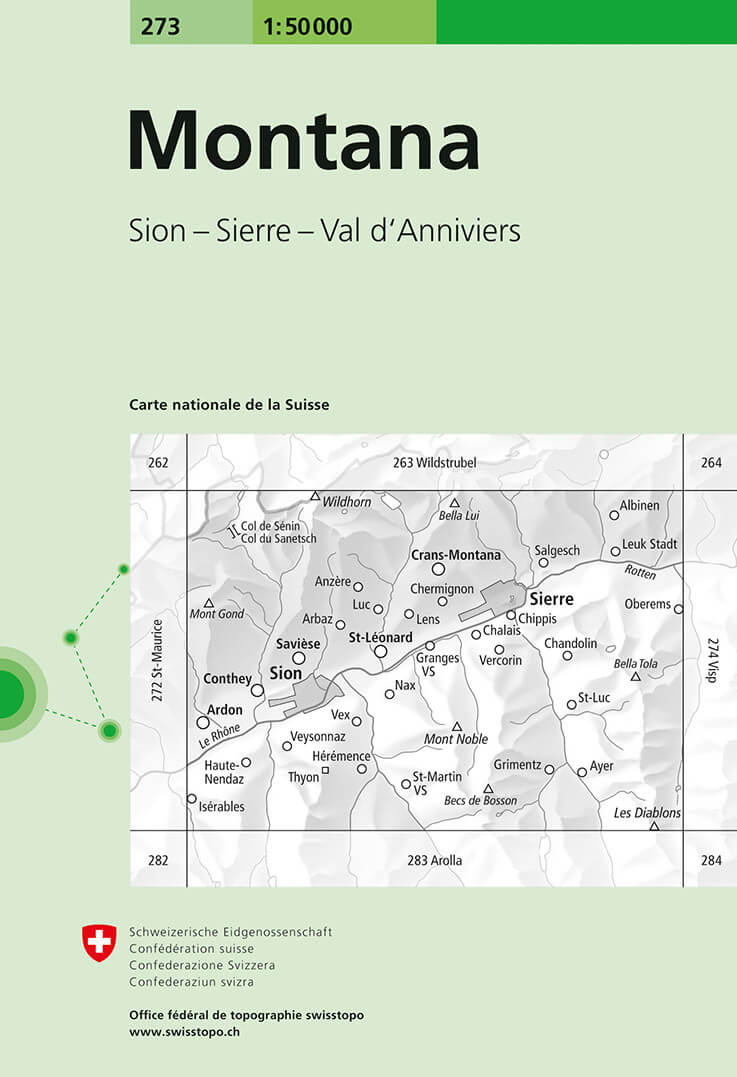
- Montana Swisstopo 273
- Montana, map No. 273, in the standard topographic survey of Switzerland at 1:50,000 from Swisstopo, i.e. without the special overprint highlighting walking trails, local bus stops, etc, presented in Swisstopo’s hiking editions of the 50K survey. The map is divided by the Rhone Valley with Sierre and Sion and covers north of it the resorts of... Leer más
- Also available from:
- De Zwerver, Netherlands
De Zwerver
Netherlands
Netherlands
- Wandelkaart - Topografische kaart 273 Montana | Swisstopo
- Montana, map No. 273, in the standard topographic survey of Switzerland at 1:50,000 from Swisstopo, i.e. without the special overprint highlighting walking trails, local bus stops, etc, presented in Swisstopo Leer más