
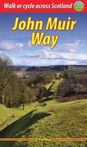
John Muir Way
Descripción
- Name John Muir Way
- Distancia de sendero 72 km, 45 millas
- Duración en días 4 días
- Inicio de sendero Edinburgh
- Fin de sendero Scottish Border
- Clasificación Traildino EW, Paseo fácil, sendero en la naturaleza
Edinburgh - Scottish Border, 45 miles, 73 km, 4 days
John Muir was a 19th-century Scottish conservationist. This path runs along the Scottish East coast and is part of the North Sea Trail.
Enlaces
Datos
Informes
Guías y mapas
Hospedaje
Organizaciones
Operadores turísticos
GPS
Otro
Libros


Stanfords
United Kingdom
United Kingdom
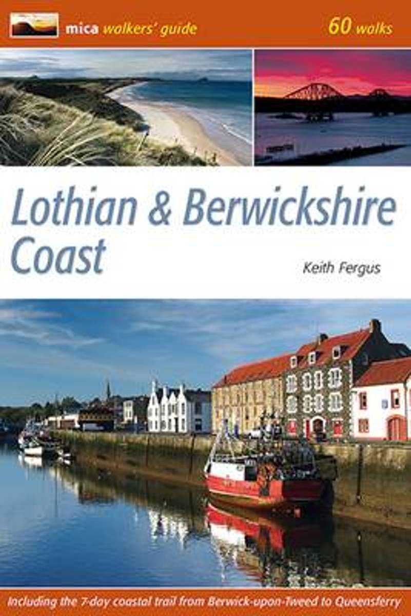
- Lothian & Berwickshire Coast: 60 Walks
- 53 varied and family oriented day walks of 2 to 9 miles exploring the magnificent sandy beaches, spectacular cliffs and human history of Scotland`s south-east coast. Routes begin at Bo`ness on the River Forth, take in the delights of Edinburgh and continue east to the holiday destinations of Portobello, North Berwick, Gullane and Dunbar. The... Leer más
- Also available from:
- The Book Depository, United Kingdom
- Bol.com, Netherlands
- Bol.com, Belgium

Bol.com
Netherlands
Netherlands
- Lothian & Berwickshire Coast
- 53 varied and family oriented day walks of 2 to 9 miles exploring the magnificent sandy beaches, spectacular cliffs and human history of Scotland's south-east coast. Routes begin at Bo'ness on the River Forth, take in the delights of Edinburgh and continue east to the holiday destinations of Portobello, North Berwick, Gullane and Dunbar. The... Leer más
Bol.com
Belgium
Belgium
- Lothian & Berwickshire Coast
- 53 varied and family oriented day walks of 2 to 9 miles exploring the magnificent sandy beaches, spectacular cliffs and human history of Scotland's south-east coast. Routes begin at Bo'ness on the River Forth, take in the delights of Edinburgh and continue east to the holiday destinations of Portobello, North Berwick, Gullane and Dunbar. The... Leer más
Más libros…
Mapas

- Also available from:
- De Zwerver, Netherlands
De Zwerver
Netherlands
Netherlands
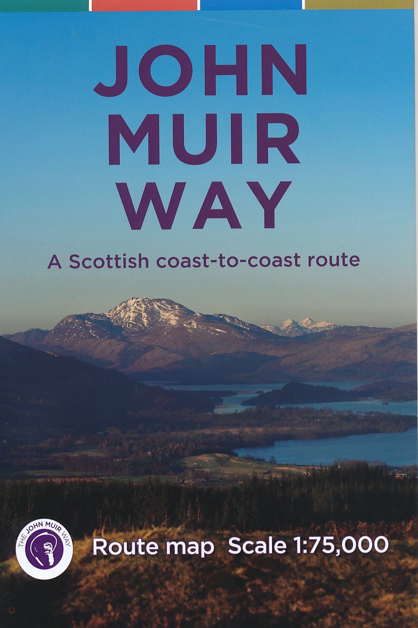
- Wandelkaart John Muir Way | SNH
- Geplastificeerde kaart van een coast-to-coast wandeling in Schotland, 215 km van Helensburg naar Dunbar. De route staat goed ingetekend op deze kaart. Leer más