
Arran Coastal Way
Descripción
- Name Arran Coastal Way
- Distancia de sendero 100 km, 62 millas
- Duración en días 5 días
- Clasificación Traildino EW, Paseo fácil, sendero en la naturaleza
Circular trail around the island of Arran, 62 mile, 100 km, 5 days
The joy of visiting an island is great; to be able to walk the entire coast, breathing the seawinds, listening to cries of the gulls, is even greater. So what a pleasure that the island of Arran created a circular coast trail.
The walk is excellently documented. Accomodation is available.
Enlaces
Datos
Informes
Guías y mapas
Hospedaje
Organizaciones
Operadores turísticos
GPS
Otro
Libros

Stanfords
United Kingdom
2016
United Kingdom
2016
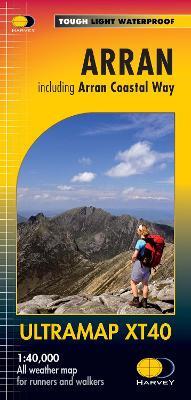
- Arran - including Arran Coastal Way Harvey Ultramap XT40
- The Scottish island of Arran at 1:40,000 on a waterproof and tear-resistant, pocket-size Ultramap from Harvey Map Services with the same cartography as their Superwalker map, highlighting for the Arran Coastal Way and with a list of archaeological and historical sites. The map divides the island east/west, with a good overlap between the sides.... Leer más
- Also available from:
- The Book Depository, United Kingdom
- De Zwerver, Netherlands


- Also available from:
- De Zwerver, Netherlands
Bol.com
Netherlands
2018
Netherlands
2018
- Arran Coastal Way
- The Arran Coastal Way is perhaps Scotland's finest circular long-distance trail, running 65 miles (105 km) around the Isle of Arran in a memorable week-long hike from Brodick. It's accessible from near Glasgow by the Ardrossan ferry. Famous asScotland in miniature', Arran is rich in scenery, castles, caves and standing stones. The walking is... Leer más
- Also available from:
- Bol.com, Belgium
Bol.com
Belgium
2018
Belgium
2018
- Arran Coastal Way
- The Arran Coastal Way is perhaps Scotland's finest circular long-distance trail, running 65 miles (105 km) around the Isle of Arran in a memorable week-long hike from Brodick. It's accessible from near Glasgow by the Ardrossan ferry. Famous asScotland in miniature', Arran is rich in scenery, castles, caves and standing stones. The walking is... Leer más
Bol.com
Netherlands
2011
Netherlands
2011
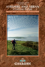
- The Ayrshire and Arran Coastal Paths
- Guidebook to walking the Ayrshire Coastal Path and Arran Coastal Way on the western coast of Scotland. The Ayrshire Coast Path is a 94-mile route from Glenapp in the south to Skelmorlie in the north. Also described is the Arran Coastal Way, which circumnavigates its way round that island for 60 miles taking in Brodick, Lochranza, Blackwaterfoot... Leer más
- Also available from:
- Bol.com, Belgium
- De Zwerver, Netherlands
Bol.com
Belgium
2011
Belgium
2011
- The Ayrshire and Arran Coastal Paths
- Guidebook to walking the Ayrshire Coastal Path and Arran Coastal Way on the western coast of Scotland. The Ayrshire Coast Path is a 94-mile route from Glenapp in the south to Skelmorlie in the north. Also described is the Arran Coastal Way, which circumnavigates its way round that island for 60 miles taking in Brodick, Lochranza, Blackwaterfoot... Leer más
De Zwerver
Netherlands
2011
Netherlands
2011
- Wandelgids Ayrshire and Arran Coastal Paths | Cicerone
- This handy guidebook contains route descriptions for 11 day stages across a 150 mile coastline full of beautiful sandy beaches and secluded coves. The terrain varies from beach to open moorland and rocky trails but is suitable for any reasonably fit walker. The Ayrshire and Arran Coastal Paths offers long distance coastal walking at its finest. Leer más
Mapas

Stanfords
United Kingdom
United Kingdom
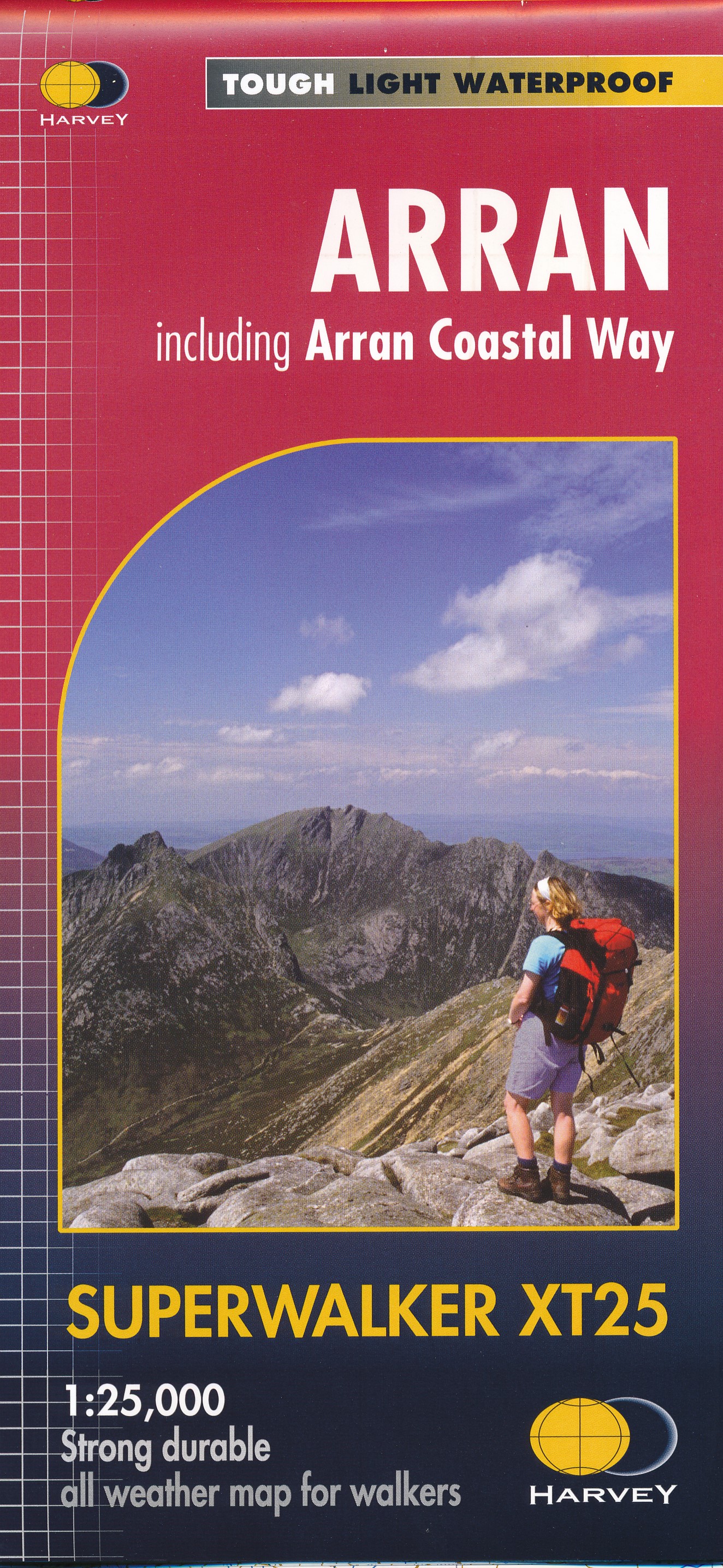
- Arran - incl. Arran Coastal Way Harvey Superwalker XT25 Map
- The Scottish island of Arran at 1:25,000 on a double-sided, a waterproof and tear-resistant, GPS compatible map from Harvey Map Services in their Superwalker series, with highlighting for the Arran Coastal Way and with a list of archaeological and historical sites. The map divides the island east/west, with a good overlap between the sides. The... Leer más
- Also available from:
- The Book Depository, United Kingdom
- De Zwerver, Netherlands

De Zwerver
Netherlands
Netherlands
- Wandelkaart Arran including Arran Coastal Way | Harvey Maps
- The Scottish island of Arran at 1:25,000 on a double-sided, a waterproof and tear-resistant, GPS compatible map from Harvey Map Services in their Superwalker series, with highlighting for the Arran Coastal Way and a list of archaeological and historical sites. The map divides the island east/west, with a good overlap between the sides. The... Leer más