
Coast to Coast Walk
Descripción
- Name Coast to Coast Walk (C2C)
- Distancia de sendero 306 km, 190 millas
- Duración en días 15 días
- Clasificación Traildino MW, Caminata moderada, sendero de mochileros
- Clasificación Travesía de refugios T1, Caminata


190 miles, 304 km, 15 days
The immensely popular Coast to Coast Walk is not officially a trail, but the creation of one man, the legendary Alfred Wainwright. The first edition of his guide book dates from 1973.
Why is this path so popular among hikers? Hiking the 190 miles, 304 km, you are treated to some of the most beautiful English landscapes: the Lake District, the Yorkshire Dales (part of the Pennines) and the North York Moors. It is by no means an easy walk, especially when you choose the alternative paths higher up, which is stimulating too. In addition, while walking you connect one sea to the next. In the end what really counts are symbolism and myth, though Wainwright must have foreseen it all: "Surely there can not be a finer itinerary for a long distance walk", he wrote.
As mentioned, you are free to choose your own path, which is what Wainwright suggested in the first place. Over time some sections of the trail have been moved.
The crowds of hikers have resulted in many local people offering B & B, and travel companies ready to transport your luggage and arrange accommodation. If all this is too modern for you, just carry along your tent and a copy of Wordsworth's poems.
Mapa

Enlaces
Datos
Informes
Guías y mapas
Hospedaje
Organizaciones
Operadores turísticos
GPS
Otro
Libros

United Kingdom
2022
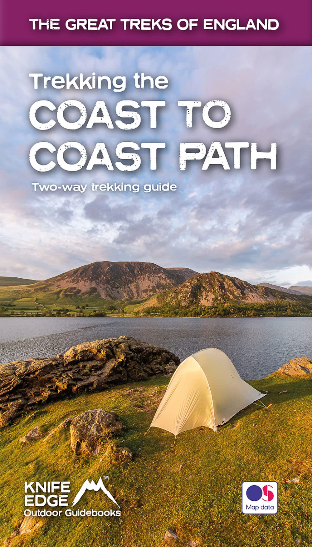
- Trekking the Coast to Coast Path
- Two-way trekking guide Leer más
- Also available from:
- De Zwerver, Netherlands
Netherlands
2022
- Wandelgids Trekking the Coast to Coast Path | Knife Edge Outdoor
- Two-way trekking guide Leer más


United Kingdom
2018
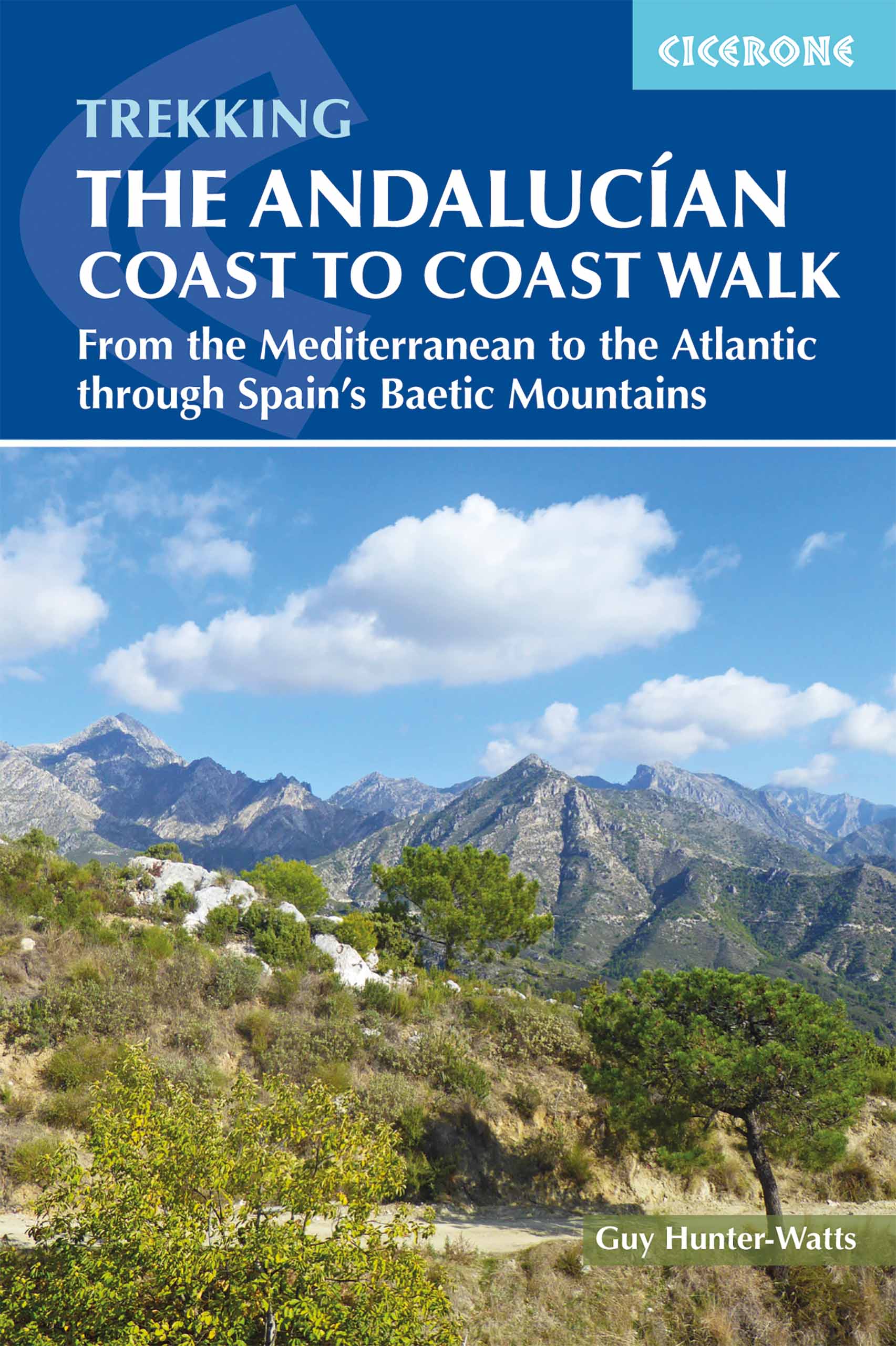
- The Andalucian Coast to Coast Walk
- From the Mediterranean to the Atlantic through the Baetic Mountains Leer más
- Also available from:
- De Zwerver, Netherlands
Netherlands
2018
- Wandelgids The Andalucian Coast to Coast Walk - Andalusie | Cicerone
- Guidebook to the Andalucian Coast to Coast Walk, a 440km, 21-day route from Maro on the Mediterranean coast to Bolonia, on the Atlantic. The route, which passes through 7 Natural Parks, links some of Andalucía's most beautiful villages and passes historical sites of both Roman and Moorish origins, including Ronda and Tarifa. Leer más

- Also available from:
- De Zwerver, Netherlands
Netherlands
2018
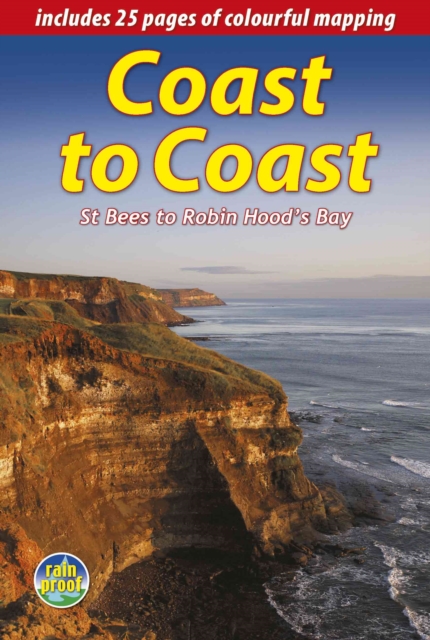
- Wandelgids Coast to Coast the Wainwright Route | Rucksack Readers
- St Bees to Robin Hood's Bay Leer más

- Also available from:
- De Zwerver, Netherlands

United Kingdom
2020
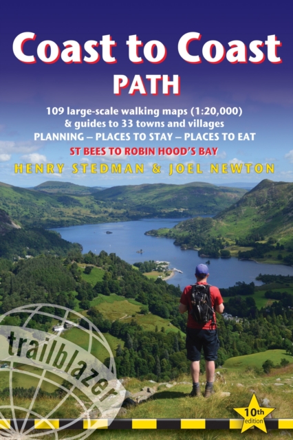
- Coast to Coast Path (Trailblazer British Walking Guide): 109 Large-Scale Walking Maps & Guides to 33 Towns & Villages - Planning, Places to Stay, Places to Eat - St Bees to Robin Hood`s Bay
- All-in-one, practical guide to walking the Coast to Coast Path across northern England inspired by Alfred Wainwright, the most popular of the 18 long-distance UK paths. Fully revised 9th edition of this classic 191-mile walk from the Irish Sea to the North Sea. Crossing three national parks - the Lake District, the Yorkshire Dales, and the... Leer más
- Also available from:
- The Book Depository, United Kingdom

United Kingdom
2020
- Coast to Coast Path
- 109 Large-Scale Walking Maps & Guides to 33 Towns & Villages - Planning, Places to Stay, Places to Eat - St Bees to Robin Hood's Bay Leer más

United Kingdom
2017
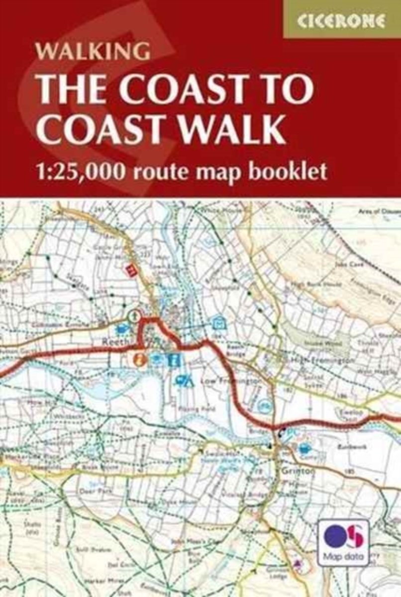
- The Coast to Coast Cicerone Map Booklet
- All the mapping you need to complete the 185-mile (296km) unwaymarked Coast to Coast Walk from St Bees in Cumbria to Robin Hood`s Bay, North Yorkshire. Devised by Alfred Wainwright and now a firm favourite among long-distance walkers, it typically takes a fortnight to complete, and is suitable for most fit walkers.This booklet of Ordnance... Leer más
- Also available from:
- Bol.com, Netherlands
- Bol.com, Belgium
- De Zwerver, Netherlands
Netherlands
2017
- The Coast to Coast Map Booklet
- All the mapping you need to complete the 185-mile (296km) unwaymarked Coast to Coast Walk from St Bees in Cumbria to Robin Hood's Bay, North Yorkshire. Devised by Alfred Wainwright and now a firm favourite among long-distance walkers, it typically takes a fortnight to complete, and is suitable for most fit walkers. This booklet of Ordnance... Leer más
Belgium
2017
- The Coast to Coast Map Booklet
- All the mapping you need to complete the 185-mile (296km) unwaymarked Coast to Coast Walk from St Bees in Cumbria to Robin Hood's Bay, North Yorkshire. Devised by Alfred Wainwright and now a firm favourite among long-distance walkers, it typically takes a fortnight to complete, and is suitable for most fit walkers. This booklet of Ordnance... Leer más
Netherlands
2017
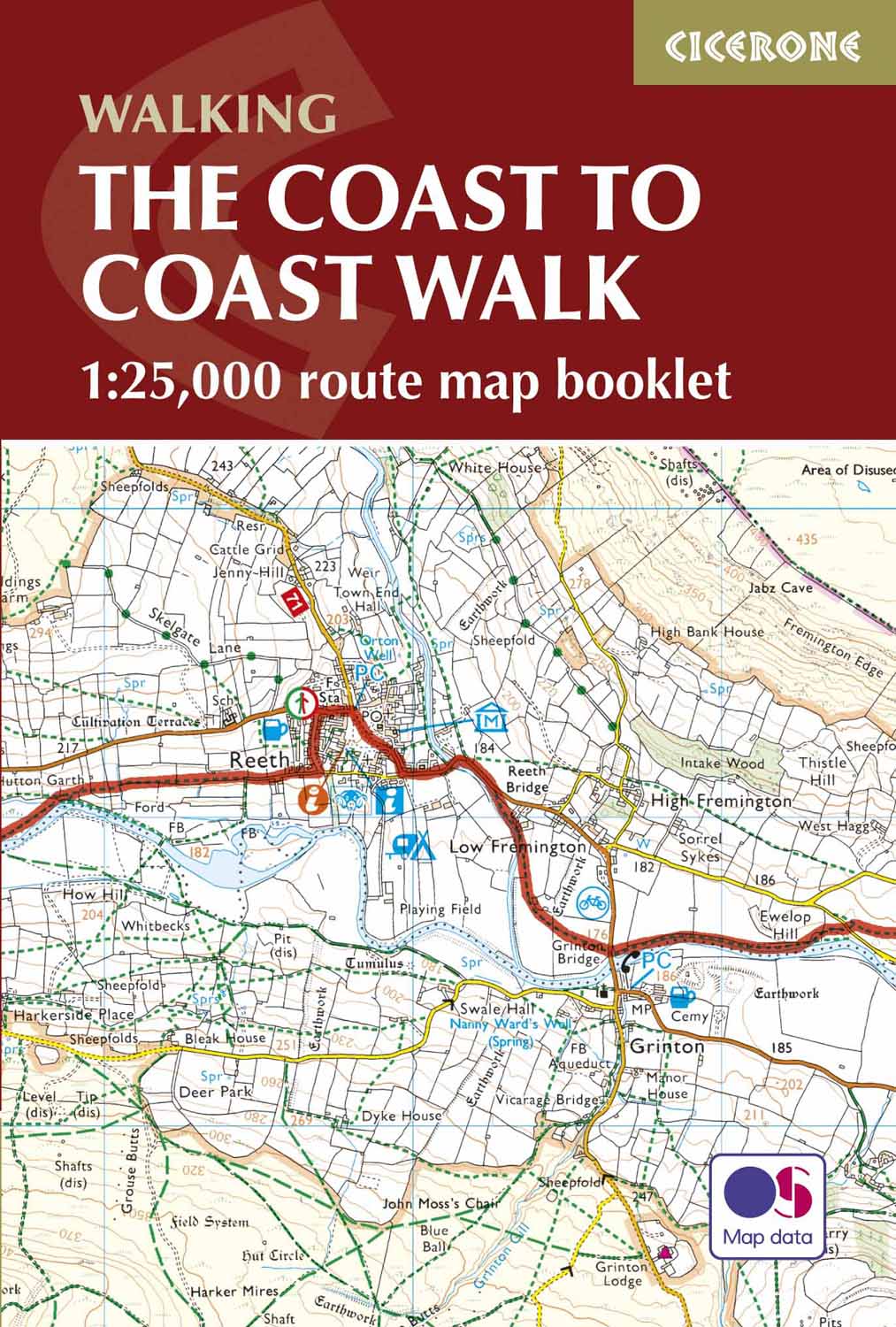
- Wandelkaart The Coast to Coast Map Booklet | Cicerone
- Map of the 190 miles (300km) Coast to Coast Walk, between St Bees Head in Cumbria and Robin Hood's Bay in Yorkshire. This booklet is included with the Cicerone guidebook to the trail, and shows the full route on Ordnance Survey 1:25,000 maps. This popular long-distance route typically takes a fortnight to walk. Leer más
Netherlands
- Lonely Planet England
- Sleep inside the prehistoric stone circle at AveburyTest your stamina with a night out on the town in NewcastleLearn to tell your Greene King from your Black Sheep as you develop a love of real aleBreak in your new hiking boots on the Coast to Coast walk across northern EnglandIn This Guide:Eight authors, over 180 days of in-country research,... Leer más
- Also available from:
- Bol.com, Belgium
Belgium
- Lonely Planet England
- Sleep inside the prehistoric stone circle at AveburyTest your stamina with a night out on the town in NewcastleLearn to tell your Greene King from your Black Sheep as you develop a love of real aleBreak in your new hiking boots on the Coast to Coast walk across northern EnglandIn This Guide:Eight authors, over 180 days of in-country research,... Leer más
Netherlands
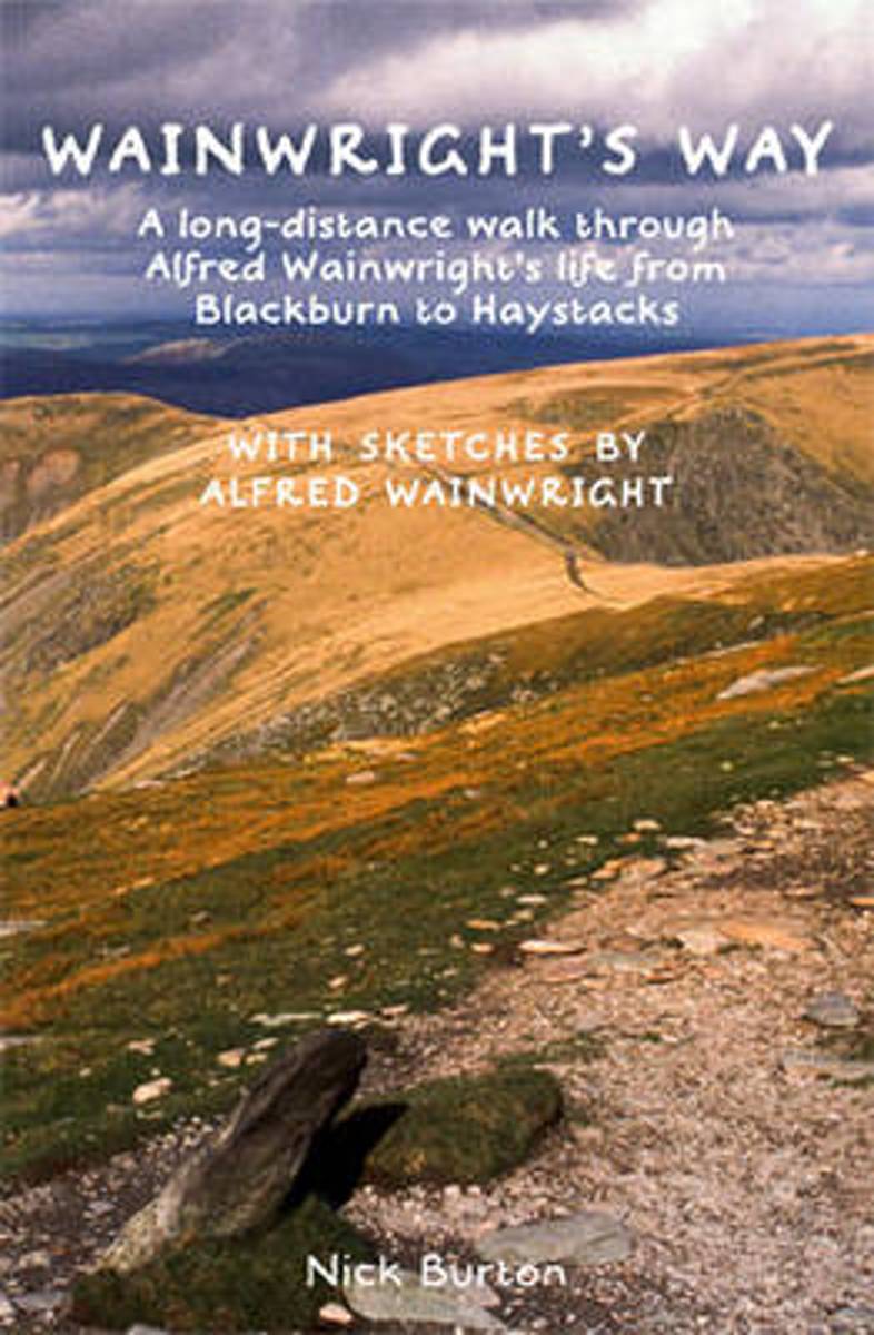
- Wainwrights Way
- Wainwright's Way is a journey on foot through Wainwright's life from Lancashire to the Lakes. This walking guide charts a 126-mile long-distance route linking the place where Wainwright was born - a Victorian terraced house in Audley Range, Blackburn - with his final resting place on Haystacks, his heavenly corner of Lakeland. Along the way,... Leer más
- Also available from:
- Bol.com, Belgium
Belgium
- Wainwrights Way
- Wainwright's Way is a journey on foot through Wainwright's life from Lancashire to the Lakes. This walking guide charts a 126-mile long-distance route linking the place where Wainwright was born - a Victorian terraced house in Audley Range, Blackburn - with his final resting place on Haystacks, his heavenly corner of Lakeland. Along the way,... Leer más

- Also available from:
- Bol.com, Netherlands
- Bol.com, Belgium

United Kingdom
2017
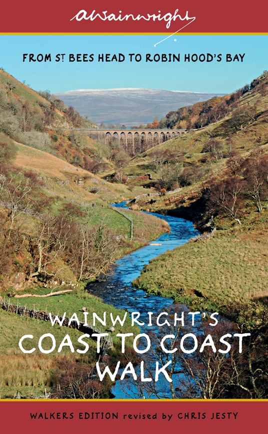
- Wainwright's Coast to Coast Walk (Walkers Edition): Volume 8
- From St Bees Head to Robin Hood's Bay Leer más
- Also available from:
- Bol.com, Netherlands
- Bol.com, Belgium
- De Zwerver, Netherlands

Netherlands
2017
- Wainwright's Coast to Coast Walk
- The first fully revised and updated edition of A. Wainwright's pocket-sized guide to the classic Coast to Coast Walk. From St Bees Head on the Irish Sea by way of the Lake District, the Pennines, Swaledale and the North York Moors and ending at Robin Hood's Bay on the North Sea, this 190-mile walk has over the years become one of the best-loved... Leer más
Belgium
2017
- Wainwright's Coast to Coast Walk
- The first fully revised and updated edition of A. Wainwright's pocket-sized guide to the classic Coast to Coast Walk. From St Bees Head on the Irish Sea by way of the Lake District, the Pennines, Swaledale and the North York Moors and ending at Robin Hood's Bay on the North Sea, this 190-mile walk has over the years become one of the best-loved... Leer más
Netherlands
2017
- Wandelgids Wainwright's Coast to Coast Walk | Frances Lincoln
- From St Bees Head to Robin Hood's Bay Leer más
Netherlands
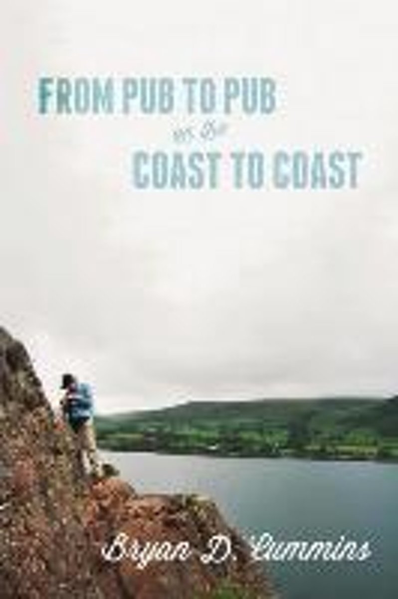
- From Pub to Pub on the Coast to Coast
- "From Pub to Pub" is a personal account of England's renowned 200 mile Coast to Coast Walk, which extends from the Irish Sea to the North Sea. The trek embraces, among other things, three national parks. Cummins examines the Coast to Coast as a form of eco-tourism and as a "pilgrimage." What compels a person to spend two or three weeks trekking... Leer más
- Also available from:
- Bol.com, Belgium
Belgium
- From Pub to Pub on the Coast to Coast
- "From Pub to Pub" is a personal account of England's renowned 200 mile Coast to Coast Walk, which extends from the Irish Sea to the North Sea. The trek embraces, among other things, three national parks. Cummins examines the Coast to Coast as a form of eco-tourism and as a "pilgrimage." What compels a person to spend two or three weeks trekking... Leer más
Netherlands
2023
Netherlands
2010
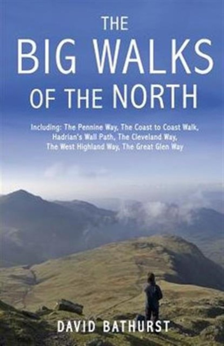
- The Big Walks of the North
- From the Great Glen Way to the Coast to Coast Path, there is no better way to discover the spectacular diversity of northern Britain's landscape than on foot. Whether you enjoy exploring green and gently rolling dales or tackling rugged mountain paths, there are walks here to keep you rambling all year round.An indefatigable walker, David... Leer más
- Also available from:
- Bol.com, Belgium
Belgium
2010
- The Big Walks of the North
- From the Great Glen Way to the Coast to Coast Path, there is no better way to discover the spectacular diversity of northern Britain's landscape than on foot. Whether you enjoy exploring green and gently rolling dales or tackling rugged mountain paths, there are walks here to keep you rambling all year round.An indefatigable walker, David... Leer más
Netherlands
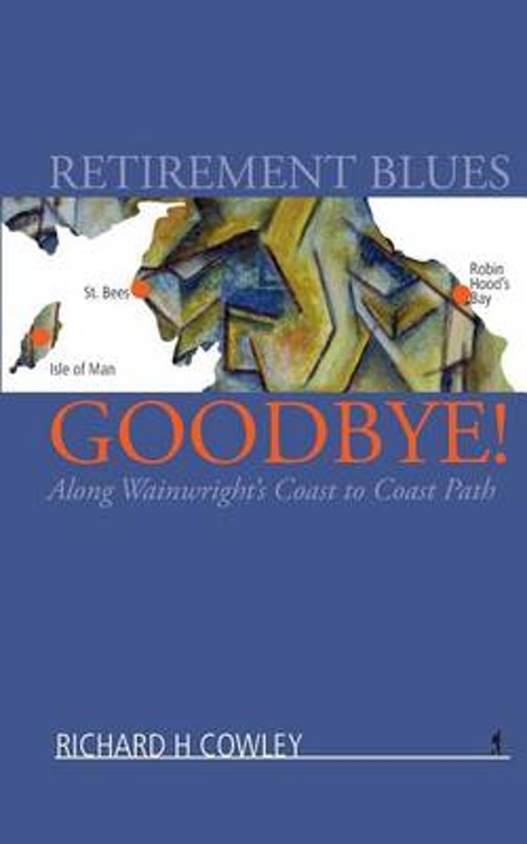
- Retirement Blues Goodbye!
- The book is an account of the day to day exploits of an expatriate Manxman and an Australian chum who seek to shake off the retirement blues by walking Alfred Wainwright's Coast to Coast path. It took 18 days to walk the 191 miles from the priory village of St Bees on the Irish Sea to arrive at the former smuggler's stronghold of Robin Hood's... Leer más
- Also available from:
- Bol.com, Belgium
Belgium
- Retirement Blues Goodbye!
- The book is an account of the day to day exploits of an expatriate Manxman and an Australian chum who seek to shake off the retirement blues by walking Alfred Wainwright's Coast to Coast path. It took 18 days to walk the 191 miles from the priory village of St Bees on the Irish Sea to arrive at the former smuggler's stronghold of Robin Hood's... Leer más
Mapas

Netherlands
2021

United Kingdom
2020
- Yorkshire Dales Harvey Touring & Planning Map
- Yorkshire Dales on a road map at 1:100,000 from Harvey Map Services with several enlargements showing main roads across local towns, plus descriptions of interesting locations, advice on public transport, etc. The map shows the Dales region with altitude colouring to indicate the region’s topography. Long-distance trails such as the Dales Way,... Leer más
- Also available from:
- De Zwerver, Netherlands

Netherlands
2020
- Fietskaart Yorkshire Dales Touring / Nidderdale Area of NB | Harvey Maps
- Yorkshire Dales on a road map at 1:100,000 from Harvey Map Services with several enlargements showing main roads across local towns, plus descriptions of interesting locations, advice on public transport, etc. The map shows the Dales region with altitude colouring to indicate the region Leer más


Netherlands
2021