GR83 - Camí del Nord o del Canigó
Descripción
- Name GR83 - Camí del Nord o del Canigó (GR83)
- Distancia de sendero 213 km, 132 millas
- Duración en días 11 días
- Clasificación Traildino SW, Caminata extenuante, sendero de montaña
- Clasificación Travesía de refugios T2, Caminata de montaña


83
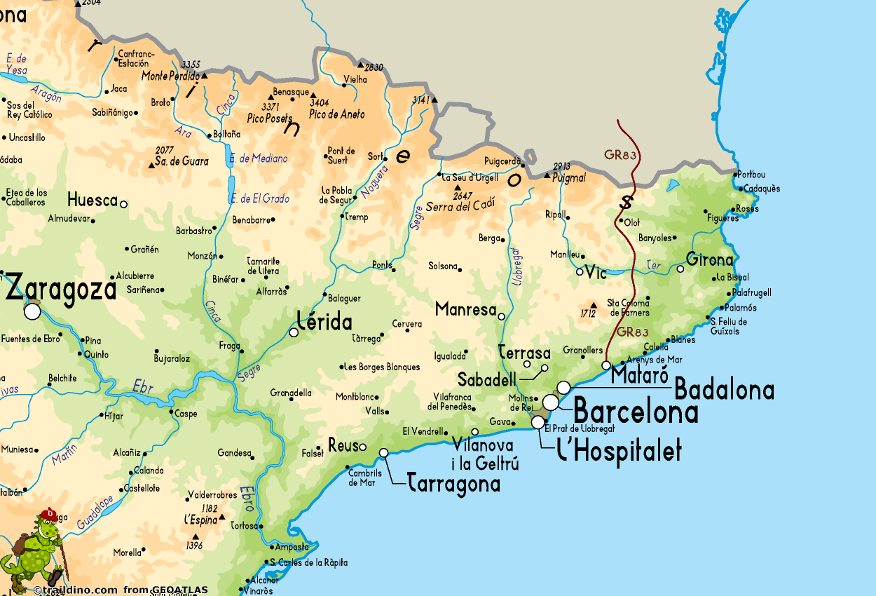
GR83 Camí del Nord o del Canigó. 213 km, 10 stages.
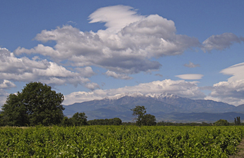
This trail is shared by France and Spain, and spans the region Catalunya. The trail starts in France at the foot of Canigou, climbs this Mount Fuji of the Pyrenees, descends into the valley of the Tech and crosses the border somewhere in the Pyrenees mountains. The end is at the Mediterranean Sea, the village of Mataró. You will enjoy the Catalan life, villages and subtropical climate.
In 1939 thousands of Spanish fled their torn homeland and used this path to enter France.
Mapa
Enlaces
Datos
Informes
Guías y mapas
Hospedaje
Organizaciones
Operadores turísticos
GPS
Otro
Mapas

Stanfords
United Kingdom
United Kingdom
- Tour of the Canigó Hiking Circuit
- A 64-km long tour of Canigó (Canigou), the highest mountain in the eastern Pyrenees, presented by Editorial Alpina on a contoured, GPS compatible map at 1:25,000, with a booklet providing descriptions of its recommended stages.The map has contours at 20m intervals, enhanced by relief shading. The tour which follows sections of the GR10, the HRP... Leer más


