
Murcia
Descripción
Autonomous region in the southeast of Spain, bordering the Mediterranean.
Enlaces
Datos
Informes
Guías y mapas
Hospedaje
Organizaciones
Operadores turísticos
GPS
Otro
Libros
Bol.com
Netherlands
2018
Netherlands
2018
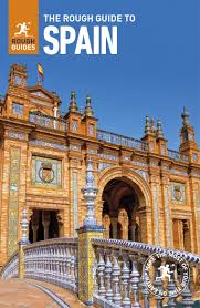
- The Rough Guide to Spain
- Discover Spain with the most incisive and entertaining guidebook on the market. Whether you plan on exploring Andalucia's White Towns, sampling the legendary nightlife of Madrid or hiking in the Picos de Euuropa, this new edition of The Rough Guide to Spain will show you the ideal places to sleep, eat, drink, shop and visit along the way.... Leer más
- Also available from:
- Bol.com, Belgium
Bol.com
Belgium
2018
Belgium
2018
- The Rough Guide to Spain
- Discover Spain with the most incisive and entertaining guidebook on the market. Whether you plan on exploring Andalucia's White Towns, sampling the legendary nightlife of Madrid or hiking in the Picos de Euuropa, this new edition of The Rough Guide to Spain will show you the ideal places to sleep, eat, drink, shop and visit along the way.... Leer más
Más libros…
Mapas

Stanfords
United Kingdom
United Kingdom
- Murcia CNIG Topo 934
- Topographic coverage of mainland Spain at 1:50,000 in the MTN50 (Mapa Topográfico Nacional) series from the Centro Nacional de Información Geografica, the country’s civilian survey organization. The maps have contours at 20m intervals, enhanced by relief shading, plus colouring and/or graphics to show different types of terrain, vegetation or... Leer más

Stanfords
United Kingdom
United Kingdom
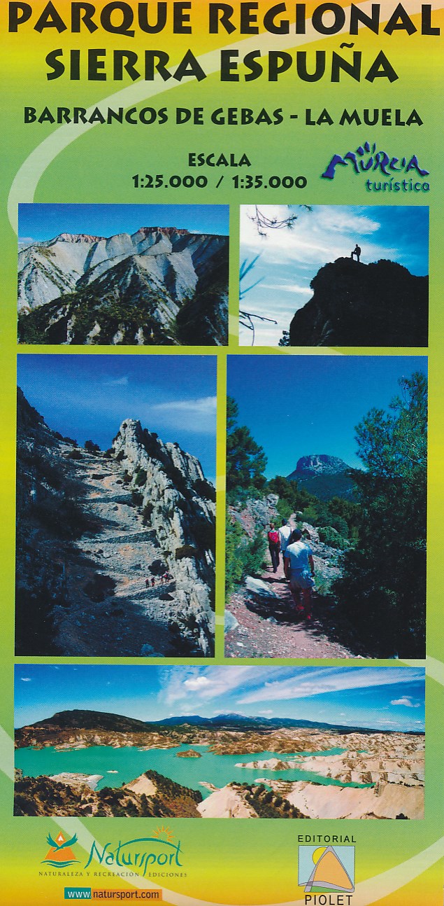
- Sierra Espuña - Barrancos de Gebas - La Muela Editorial Piolet Hiking Map
- Sierra Espuña - Barrancos de Gebas - La Muela area west of Murcia on a contoured and GPS compatible map from Editorial Piolet. On one side is a wider area presented at 1:35,000 – coverage extends west from Alhama de Murcia across Sierra Espuña and north to Mula, with a separate panel at 1:25,000 extending the main map directly north of Alhama... Leer más
- Also available from:
- De Zwerver, Netherlands
De Zwerver
Netherlands
Netherlands
- Wandelkaart Parque Regional Sierra Espuna | Editorial Piolet
- Barrancos de Gebas - La Muela Uitstekende wandelkaart van een klein gebied. Met ingetekende wandelroutes en hoogtelijnen. Excellent 1:25.000 scale map of the area of Regional Park Sierra Espuna in Murcia. Includes local signaling pathways, GR, PR, Nordik Walking tour and most characteristic areas of diving. Equidistance between contours 10 m. Leer más
De Zwerver
Netherlands
Netherlands
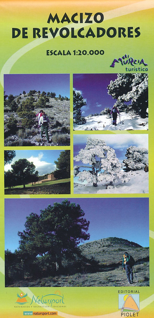
- Wandelkaart Macizo de Revolcadores | Editorial Piolet
- Uitstekende wandelkaart van een klein gebied. Met ingetekende wandelroutes en hoogtelijnen. Excellent 1:20.000 scale map of the area of Macizo de Revolcadores in Murcia. Includes local signaling pathways, GR, PR, Nordik Walking tour and most characteristic areas of diving. Equidistance between contours 10 m. Leer más
De Zwerver
Netherlands
Netherlands
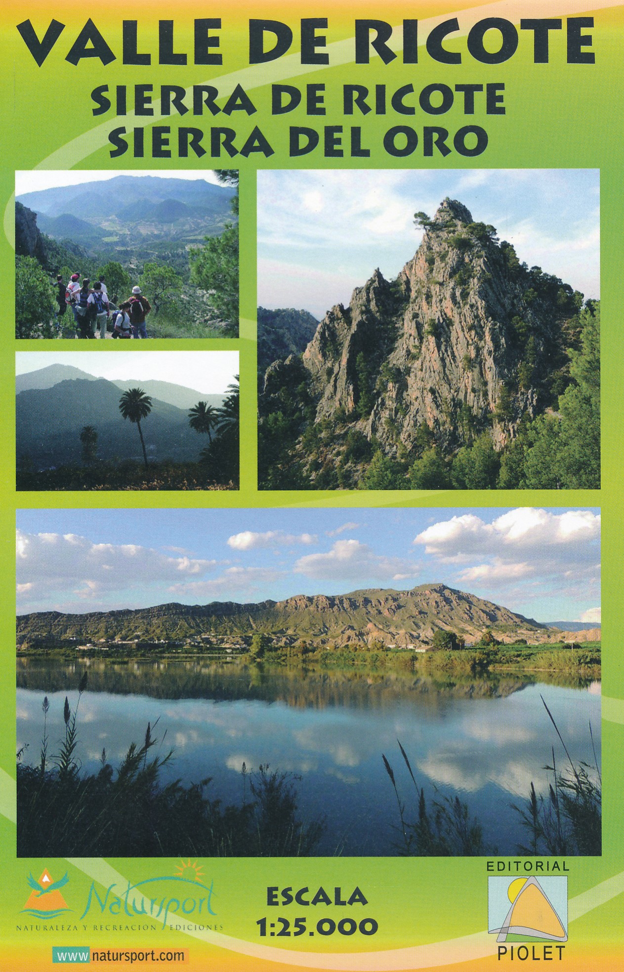
- Wandelkaart Valle de Ricote - Sierra de Ricote - Sierra del Oro | Editorial Piolet
- Valle de Ricote, Sierra de Ricote and Sierra del Oro north-west of Murcia on a contoured and GPS compatible map at 1:25,000 from Editorial Piolet. Coverage extends westwards from Archena, north to Abarán, and south to the RM-530 road.Topography is presented by contours at 10m intervals with plenty of additional spot heights. An overprint shows... Leer más
De Zwerver
Netherlands
Netherlands
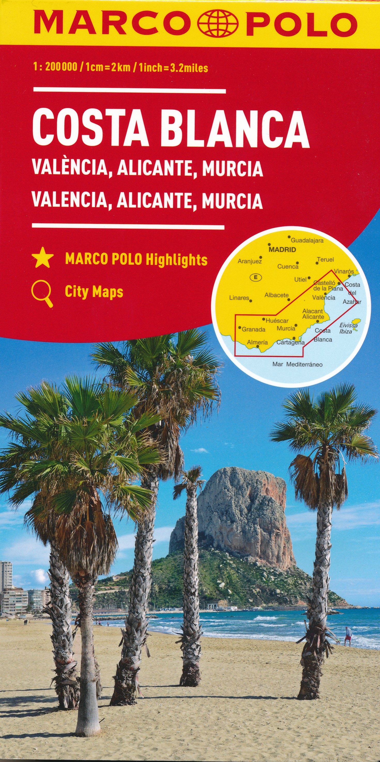
- Wegenkaart - landkaart Costa Blanca Valencia Granada | Marco Polo
- MARCO POLO Karte Costa Blanca, Valencia, Alicante, Castellón, Murcia 1:200 000 ab 9.99 EURO Marco Polo Karte. 4. Auflage Leer más
De Zwerver
Netherlands
Netherlands
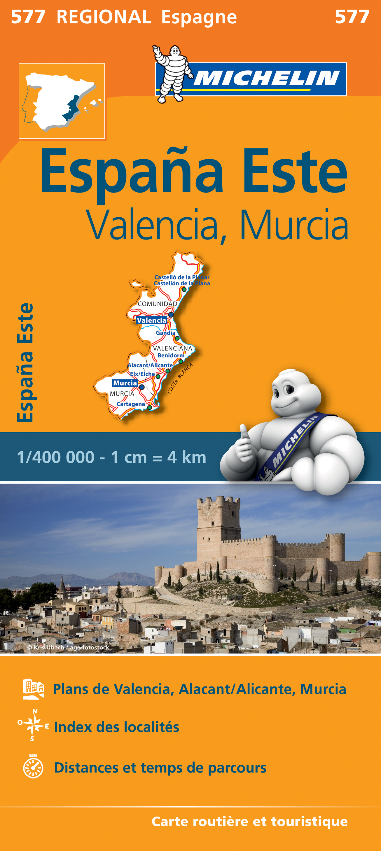
- Wegenkaart - landkaart 577 Comunidad Valenciana - Murcia - Alicante - Benidorm | Michelin
- une carte fiable pour parcourir les régions d'Europe Leer más