Jakobsweg
Descripción
- Name Jakobsweg (JW)
- Clasificación Traildino EW, Paseo fácil, sendero en la naturaleza


Part of the international pilgrimage network. In Germany 18 different routes.
Visit Traildino's overview page for the Way of Saint James / Camino de Santiago.
Select some tracks
☐Elisabethpfad [Wiehl], 0.7km
☐Rothenburger W5 - Jakobsweg, 18km
☐Jakobsweg Oettingen - Neresheim
☐Jakobsweg NÖ - Variante 1, 12km
☐Jakobsweg Rheinhessen, 131km
☐Camino de Santiago por Huesca, 247km
☐Jakobsweg - Region Vogelsberg, 45km
☐Camino del Norte (Euskal Herria), 223km
☐Camino Mozárabe, 429km
☐Jakobsweg
☐Jakobsweg Weinviertel, 163km
☐Jakobs-Pilgerweg Paderborn-Sauerland, 6.1km
☐Jakobsweg via Baltica, Niedersachsen, Abzweig Lilienthal, 7.1km
☐Jakobsweg Luxemburg, 183km
☐Jakobsweg [Teilstück bei Ulm]
☐Jakobsweg im Pfaffenwinkel, 6.7km
☐Münchner Jakobsweg (Zubringer Vötting - Ammersee), Alternativroute, 0.3km
☐Jakobsweg, Brigittaweg Sassnitz (Rügen) Tribsees, 25km
☐Elisabethpfad 3, 167km
☐Sankt Jakobus Pilgerweg (Sachsen-Anhalt)
☐Jakobsweg, 6.9km
☐Jakobsweg (Umleitung), 3.8km
☐Hunsrücker Jakobsweg, 3km
☐Jakobsweg Isar - Loisach - Leutascher Ache - Inn, 132km
☐Innviertler Jakobsweg, 146km
☐Camino del Norte (rutas alternativas), 233km
☐Eco-Pfad Pilgerwege Gottsbüren 6 "Jakobsweg", 15km
☐Lahn-Camino - 5. Etappe - Jakobsweg, 18km
☐Samareiner Jakobsweg, 9.1km
☐Lubuska droga św. Jakuba, 287km
☐Náučný chodník zbojníka Jakuba Surovca, 4.5km
☐Dolnośląska Droga św. Jakuba, 161km
☐[M] Beskydská cesta sv. Jakuba, 269km
☐Wielkopolska Droga św. Jakuba, 246km
☐Droga św. Jakuba "Szlak Piastowski", 47km
☐Nadwarciańska Droga św. Jakuba, 108km
☐Lubelska Droga św. Jakuba, 145km
☐Nyska Droga św. Jakuba, 101km
☐Sudecka Droga św. Jakuba, 115km
☐Kłodzka Droga św. Jakuba, 67km
☐Via Regia Droga św. Jakuba, 177km
☐Jasnogórska Droga św. Jakuba, 57km
☐[Z] zřícenina kostela sv. Jakuba, 0.9km
☐Ślężańska Droga św. Jakuba, 51km
☐NS Jakuba Míly, 4.4km
☐Sudecka Droga św. Jakuba, 45km
☐Dolnoślaska Droga Św. Jakuba
☐linksrheinischer Jakobsweg, 5.4km
☐Elisabethpfad 2, 194km
☐Jakobsweg via Baltica, Schleswig-Holstein Ost - Aternative Possehlbrücke, 2.7km
☐Ostbayerischer Jakobsweg: nördliche Variante (Eschlkam > Donauwörth), 37km
☐st Jakobsweg, 191km
☐Pfälzer Jakobsweg (Klosterroute), 4.5km
☐Jakobsweg Bonn => Burg Eltz, 116km
☐Jakobsweg Hof-Weißenstadt, 34km
☐Via Regia Droga św. Jakuba, 17km
☐Ruta Jacobea Madrileña, 355km
☐Camino Mozárabe desde Jaén, 39km
☐Camino Mozárabe desde Málaga, 153km
☐Camino Mozárabe por Trujillo, 203km
☐Droga św. Jakuba - Via Regia Podkarpacka w.Korczowa, 40km
☐Via Regia Droga św. Jakuba, 123km
☐Via Regia Droga św. Jakuba, 25km
☐Zuweg Jakobsweg, 1.1km
☐[Ž] Chvojen - odb. kostel sv. Jakuba, 0.6km
☐Jakobsweg Bad Münstereifel - Trier - Perl (Alternative)
☐Jakobsweg, 12km
☐Lahn-Camino - 6. Etappe - Jakobsweg, 19km
☐Rhein-Camino - 1. Etappe - Jakobsweg, 22km
☐Rhein-Camino - 2. Etappe - Jakobsweg, 16km
☐Rhein-Camino - 3. Etappe - Jakobsweg, 15km
☐Lahn-Camino - 4. Etappe - Jakobsweg, 28km
☐Lahn-Camino - 3. Etappe - Jakobsweg, 21km
☐Lahn-Camino - 2. Etappe - Jakobsweg, 25km
☐Lahn-Camino - 1. Etappe - Jakobsweg, 26km
☐Droga Św. Jakuba w Polsce - Via Regia - Camino, 152km
☐Droga św. Jakuba - Via Regia Podkarpacka, 206km
☐Jakobsweg, 0.6km
☐Jakobsweg Neresheim - Ulm, 68km
☐Cesta Jakuba Jirala, 2.2km
☐Šv. Jokūbo kelias (Lietuva), 82km
☐5-Gemeinden-Streckentour, 35km
☐Julius Kugy-Dreiländerweg E 30a, 23km
☐Jakobsweg Tirol - Allgäu, 134km
☐Julius Kugy-Dreiländerweg E 3b, 26km
☐Jakobsweg Saar - Strecke Kirrberg - Althornbach, 16km
☐Jakobsweg, 9.4km
☐Jakobsweg Höxter - Marburg, 191km
☐Jakobsweg Gießen - Wetzlar, 16km
☐Linksrheinischer Jakobsweg, 236km
☐Via Regia, 61km
☐Wrocławska Droga Świętego Jakuba, 43km
☐Via Regia, 33km
☐Jakobsweg, 5.5km
☐Jakobsweg Breisach - Grezhausen, 9.8km
☐Jakobsweg Silberberg (Variante Kirchberg–Hirschfeld), 20km
☐Caminho Português de Santiago, 79km
☐Jakobsweg (Klosterroute Worms-Metz, Nordspange), 19km
☐Jakobsweg an der Frankenstraße, Variante Karswald, 9.9km
☐St. Jakobsweg - Wolfach Stadtbrücke
☐Franzosenfelsen - St. Jakobsweg, 0.4km
☐St. Jakobsweg - Wolfach Schmelzebrücke, 1.3km
☐Jakobsweg und Dorfplatz, 16km
☐Tübinger Jakobusweg, 11km
☐Julius Kugy-Dreiländerweg E 1b, 11km
☐Camiño Portugués pola Costa -Moaña no Camiño, 25km
☐Szlak dojściowy św. Jakuba, 11km
☐Droga dojściowa św. Jakuba, 16km
☐Kujawsko-Dobrzyńska Droga św. Jakuba, 106km
☐Mazowiecka Droga św. Jakuba, 167km
☐Nadwiślańska Droga św. Jakuba, 157km
☐Pelplińska Droga św. Jakuba, 115km
☐Rosenbach-Quadiaalm-Bärengraben-Runde, 8.8km
☐Okruh sv. Jakuba, 2.1km
☐Łowicka Droga św. Jakuba, 225km
☐Warszawska Droga św. Jakuba, 383km
☐Podlaska Droga św. Jakuba, 470km
☐Bleiburg-Kömmelgupf-Pudlach, 18km
☐Świętokrzyska Droga św. Jakuba, 310km
☐Bydgoska Droga św. Jakuba, 86km
☐Julius Kugy-Dreiländerweg E 26c, 15km
☐Svätojakubská cesta na Slovensku: Úsek Rajka (HU) – Bratislava
☐Człuchowska Droga św. Jakuba, 210km
☐Nadsańska Droga św. Jakuba, 61km
☐Częstochowska Droga św. Jakuba, 103km
☐Śląsko-Morawska Droga św. Jakuba, 95km
☐Raciborska Droga św. Jakuba, 115km
☐Via son Giachen, 3.8km
☐Jakobsweg, 8km
☐Kaliska Droga św. Jakuba, 156km
☐Jakobsweg Neresheim - Rottenburg Variante 26b, 110km
☐Jakobsweg Heubach (Bargau) - Ulm, 83km
☐Jakobsweg Ulm - Konstanz, 162km
☐Jakobsweg Meckenbeuren - Nonnenhorn, 23km
☐Jakobsweg Lindau - Nonnenhorn, 8.8km
☐Jakobsweg Linzgau, 40km
☐Hohenzollerischer Jakobsweg, 27km
☐Hohenzollerischer Jakobsweg (Rottenburg - Überlingen) - Variante über Starzeln, 2.7km
☐Jakobsweg Hegau, 5.1km
☐Badischer Jakobusweg -nördlicher Teil-, 115km
☐Ostbayerischer Jakobsweg (Eschlkam > Donauwörth), 282km
☐Jakobsweg Böhmen-Bayern-Tirol, 407km
☐Jakobsweg Böhmen-Bayern-Tirol Variante/Prien, 75km
☐Jakobsweg Böhmen-Bayern-Tirol Variante/Asham, 13km
☐Jakobsweg Böhmen-Bayern-Tirol Variante/Baumgarten, 1.8km
☐Jakobsweg Böhmen-Bayern-Tirol Variante/Breitenbach, 2km
☐Jakobsweg Böhmen-Bayern-Tirol Variante/Egg, 4.1km
☐Voralpiner Jakobsweg, 253km
☐Jakobsweg Böhmen-Bayern-Tirol Variante/Attel, 2.5km
☐Bayerisch-Schwäbischer Jakobsweg Ner-DON, 107km
☐Bayerisch-Schwäbischer Jakobsweg Var Kaisheim, 12km
☐Bayerisch-Schwäbischer Jakobsweg SOB-FB, 44km
☐Bayerisch-Schwäbischer Jakobsweg DON-A, 48km
☐Bayerisch-Schwäbischer Jakobsweg A-MM, 114km
☐Bayerisch-Schwäbischer Jakobsweg A-MM Var, 102km
☐Bayerisch-Schwäbischer Jakobsweg MM-LI, 97km
☐Wanderweg Steigerwälder Jakobsweg, 81km
☐Mittelfränkischer Jakobsweg, 89km
☐Wanderweg Jakobsweg Tillyschanz > Nürnberg, Abschnitt Ensdorf - Stein, 99km
☐Jakobsweg Tillyschanz > Nürnberg, Abschnitt Tillyschanz - Ensdorf, 86km
☐Jakobsweg Variante Papiermühle-Reichertshofen, 10km
☐Jakobsweg Fulda-Würzburg, 154km
☐Jakobsweg Rothenburg o.d. Tauber Variante, 6.4km
☐Jakobsweg Rothenburg o.d. Tauber - Heubach (Bargau), 117km
☐Wanderweg Jakobsweg Würzburg-Rothenburg o.d. Tauber, 80km
☐Jakobsweg Schwabach-Oettingen, 77km
☐Jakobsweg Nürnberg-Schwabach, 13km
☐Jakobsweg Nürnberg-Rothsee V2, 14km
☐Jakobsweg Nürnberg-Eichstätt, 88km
☐Fränkischer Jakobsweg Kronach-Lichtenfels, 29km
☐Jakobsweg Coburg-Lichtenfels, 22km
☐Fränkischer Jakobsweg Lichtenfels-Bamberg, 47km
☐Wanderweg Fränkischer Jakobsweg (West) Bamberg-Domitz, 55km
☐Jakobsweg Effeltrich - Marloffstein, 4.7km
☐Jakobsweg V, 6.5km
☐Wanderweg Jakobsweg III, 33km
☐Jakobsweg Münchberg-Hof, 26km
☐Jakobsweg Hof-Hiltpoltstein, 136km
☐Wanderweg Jakobsweg Hiltpoltstein-Kleinsendelbach, 20km
☐Jakobsweg Fränkische Schweiz, 37km
☐Jakobsweg Marktschorgast-Weißenstadt, 21km
☐Jakobsweg Weißenstadt-Creußen, 48km
☐Wanderweg Jakobsweg IV, 3.4km
☐Jakobsweg Potsdam - Vehlen, 89km
☐Jakobsweg Frankfurt/Oder - Leipzig, 190km
☐Jakobsweg ...-Goyatz-Waldow-Straupitz-..., 19km
☐Jakobsweg Via Imperii SczecinPL- BerlinDE, 206km
☐Jakobsweg Speyer-Bad Bergzabern, 76km
☐Jakobsweg Speyer – Metz, 95km
☐Pfälzer Jakobsweg (Nordroute), 12km
☐Pfälzer Jakobsweg Südroute, 69km
☐Pfälzer Jakobsweg-Verbindungsroute, 76km
☐Jakobsweg Bad Bergzabern – Wissembourg, 11km
☐Jakobsweg Silberberg (Annaberg-Eich), 85km
☐Jakobsweg Böhmisches Erzgebirge, 48km
☐Jakobsweg Bremen-Fulda-Herbstein (Rhön), 88km
☐Jakobsweg Bremen-Vacha (Rhön), 18km
☐Jakobsweg Bremen-Breitungen (Rhön), 39km
☐.Jakobsweg - Via Jutlandica - Schleswig-Holstein (Jakobsweg Dithmarschen), westliche Route, Abstecher Franziskusweg, 4.8km
☐.Jakobsweg - Via Jutlandica - Schleswig-Holstein (Jakobsweg Dithmarschen - Anschluss Via Jutlandica), westliche Route, 16km
☐Eifel-Camino, 149km
☐Mosel-Camino, 155km
☐Jakobsweg Erfurt - Coburg, 144km
☐Osteifelweg, 117km
☐Schönberger Jakobsweg, 9.2km
☐Camino Benedictus, Tihany-Lébény, 163km
☐Jakobsweg Burgenland – Zubringer 2, 43km
☐Jakobs-Pilgerweg Heidenstraße (Eichsfeld), 40km
Enlaces
Datos
Informes
Guías y mapas
Hospedaje
Organizaciones
Operadores turísticos
GPS
Otro
Libros

Stanfords
United Kingdom
United Kingdom
- Pilgrimage: The Great Pilgrim Routes of Britain and Europe
- Shortlisted for a 2018 Edward Stanford Travel Writing Award.Ten historic pilgrim routes of Western Europe, inspiration for today`s long distance walker. Pilgrimage in Europe is thriving on a massive scale. In 1990 the cathedral at Santiago de Compostela recorded less than 5000 pilgrims: today that figure is at least 200,000 a year. Author Derry... Leer más

Stanfords
United Kingdom
2016
United Kingdom
2016
- St-Jacques-de-Compostelle - Puy-en-Velay to Moissac GR65-1 IGN 89020
- Chemin de St-Jacques - the Way of St James in France along the GR65 between Le Puy-en-Velay and Moissac presented at 1:100,000 on a double-sided, waterproof and tear-resistant map from IGN with cartography from their highly popular TOP100 series. The route is prominently highlighted on contoured mapping and annotated with hiking distances.... Leer más

Stanfords
United Kingdom
2016
United Kingdom
2016
- St-Jacques-de-Compostelle - Moissac to Roncevaux / Roncesvalles GR65-2 IGN 89021
- Chemin de St-Jacques - the Way of St James in France along the GR65 between Moissac and Roncevaux/Roncesvalles in the Spanish Pyrenees presented at 1:100,000 on a double-sided, waterproof and tear-resistant map from IGN with cartography from their highly popular TOP100 series. The route is prominently highlighted on contoured mapping and... Leer más


Bol.com
Netherlands
2011
Netherlands
2011
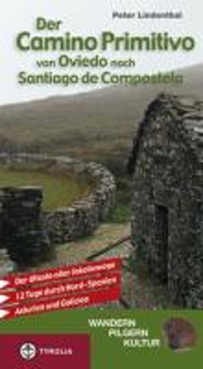
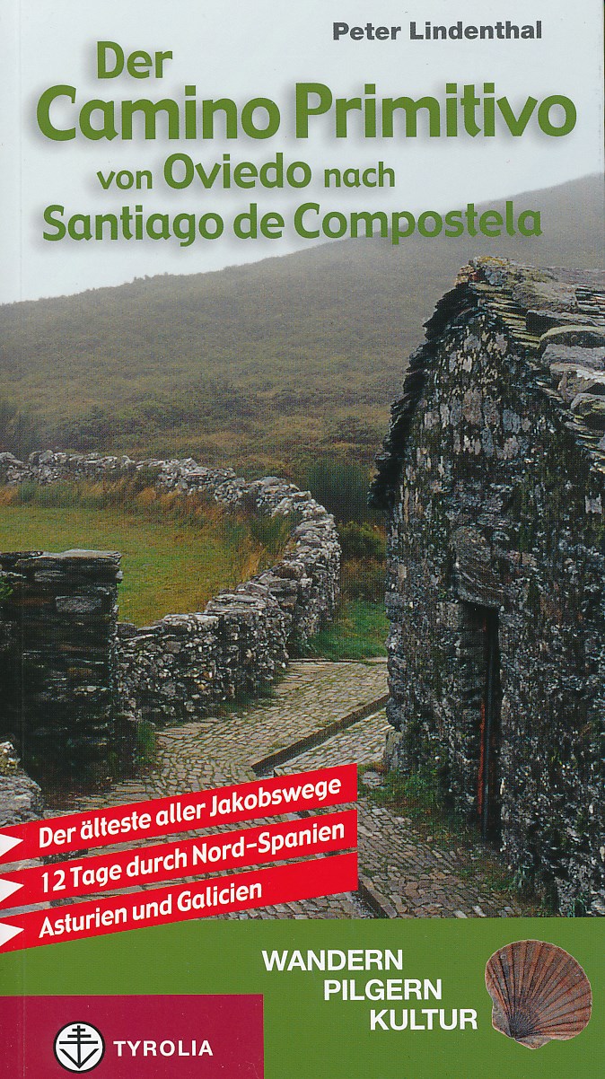
- Der Camino Primitivo von Oviedo nach Santiago de Compostela
- Pilgern auf dem Ur-Jakobsweg:Wer zwei Wochen Urlaub hat und nach einer authentischen Pilgerfahrt Santiago de Compostela erreichen will, der sollte den Camino Primitivo w hlen.Der erste aller Jakobwege (primitivo ist hier mit urspr nglich zu bersetzen) verdient seinen Namen vollkommen zu Recht: Schon 829, nur vier Jahre nach der Entdeckung des... Leer más
- Also available from:
- Bol.com, Belgium
- De Zwerver, Netherlands
Bol.com
Belgium
2011
Belgium
2011
- Der Camino Primitivo von Oviedo nach Santiago de Compostela
- Pilgern auf dem Ur-Jakobsweg:Wer zwei Wochen Urlaub hat und nach einer authentischen Pilgerfahrt Santiago de Compostela erreichen will, der sollte den Camino Primitivo w hlen.Der erste aller Jakobwege (primitivo ist hier mit urspr nglich zu bersetzen) verdient seinen Namen vollkommen zu Recht: Schon 829, nur vier Jahre nach der Entdeckung des... Leer más
De Zwerver
Netherlands
2011
Netherlands
2011
- Wandelgids - Pelgrimsroute Camino Primitivo | Tyrolia
- Der älteste aller Jakobswege. 12 Tage durch Nord-Spanien - Asturien und Galicien Leer más
Bol.com
Netherlands
2008
Netherlands
2008
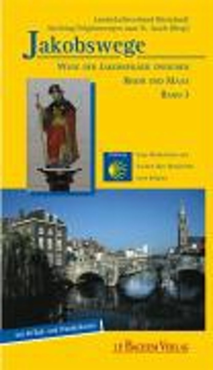
- Jakobswege 03. Wege Der Jakobspilger Zwischen Rhein Und Maas
- Der neue Band 3 der Jakobswege zu Fu und per Rad ist eine deutsch-niederl ndische Produktion. Der "Rhein-Maas-Weg" folgt den Spuren der Jakobspilger vom niederl ndischen Millingen am Rhein n rdlich Kleve quer durch die niederrheinische Landschaft mit Stationen in Kranenburg, Goch, Kevelaer und Straelen und f hrt weiter entlang der Maas ber... Leer más
- Also available from:
- Bol.com, Belgium
Bol.com
Belgium
2008
Belgium
2008
- Jakobswege 03. Wege Der Jakobspilger Zwischen Rhein Und Maas
- Der neue Band 3 der Jakobswege zu Fu und per Rad ist eine deutsch-niederl ndische Produktion. Der "Rhein-Maas-Weg" folgt den Spuren der Jakobspilger vom niederl ndischen Millingen am Rhein n rdlich Kleve quer durch die niederrheinische Landschaft mit Stationen in Kranenburg, Goch, Kevelaer und Straelen und f hrt weiter entlang der Maas ber... Leer más
Bol.com
Netherlands
2010
Netherlands
2010
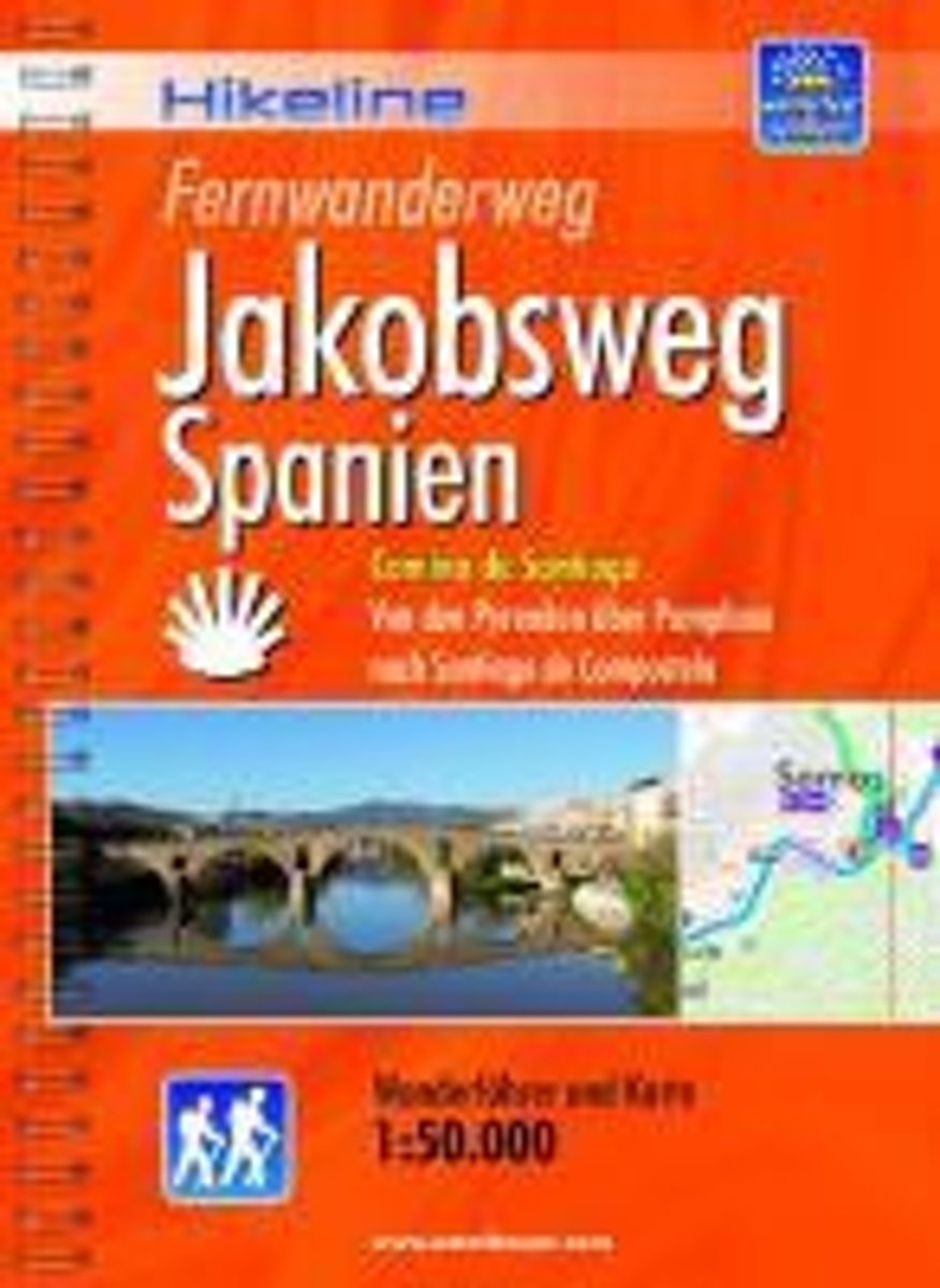
- Jakobsweg Spanien Fernwanderweg
- Camino de Santiago - Von den Pyrenäen über Pamplona nach Santiago de Compostela. 1 :100 000. 2., vollständig überarbeitete Auflage. Leer más
- Also available from:
- Bol.com, Belgium
- De Zwerver, Netherlands
Bol.com
Belgium
2010
Belgium
2010
- Jakobsweg Spanien Fernwanderweg
- Camino de Santiago - Von den Pyrenäen über Pamplona nach Santiago de Compostela. 1 :100 000. 2., vollständig überarbeitete Auflage. Leer más
De Zwerver
Netherlands
2010
Netherlands
2010
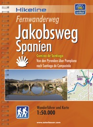
- Wandelgids - Pelgrimsroute Hikeline Jakobsweg Spanien | Esterbauer
- Camino de Santiago - Von den Pyrenäen über Pamplona nach Santiago de Compostela. 1 :100 000. 2., vollständig überarbeitete Auflage. Leer más
Bol.com
Netherlands
Netherlands
- Camino de Santiago
- Ueber die Erlebnisse eines nicht allt glichen Pilgers auf dem Jakobsweg. Leer más
- Also available from:
- Bol.com, Belgium
Bol.com
Belgium
Belgium
- Camino de Santiago
- Ueber die Erlebnisse eines nicht allt glichen Pilgers auf dem Jakobsweg. Leer más
Bol.com
Netherlands
Netherlands
- Der Jakobsweg für Motorradfahrer - Camino de la Costa. Camino del Norte
- In acht Tagen bis ans Ende der Welt Leer más
- Also available from:
- Bol.com, Belgium
Bol.com
Belgium
Belgium
- Der Jakobsweg für Motorradfahrer - Camino de la Costa. Camino del Norte
- In acht Tagen bis ans Ende der Welt Leer más
De Zwerver
Netherlands
2019
Netherlands
2019
De Zwerver
Netherlands
2016
Netherlands
2016
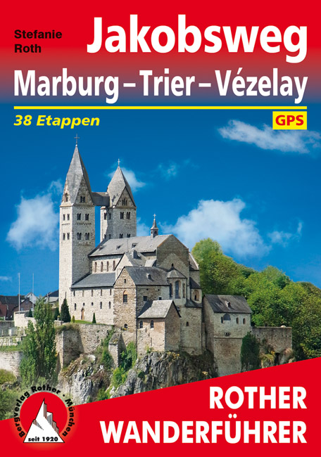
- Wandelgids - Pelgrimsroute Jakobsweg Marburg - Trier - Vézelay | Rother Bergverlag
- 37 Etappen. Mit GPS-Daten Leer más
Bol.com
Netherlands
2016
Netherlands
2016
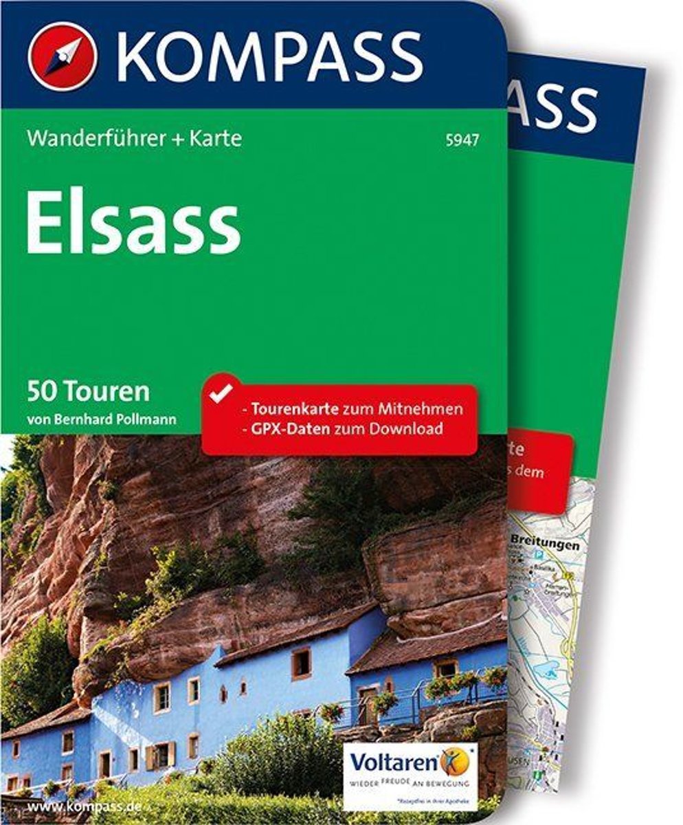
- Kompass WF5947 Elsass
- De Kompass wandelgids + kaart geeft een overzicht van alle wandelroutes in het gebied met nauwkeurige routeaanwijzingen en hoogteaanduidingen, De extra grote kaart, schaal 1:35 000, is ideaal om van te voren uw route uit te stippelen en om onderweg te gebruiken • naast de bekende bestemmingen, worden ook de minder bekende vermeld • openbaar... Leer más
- Also available from:
- Bol.com, Belgium
Bol.com
Belgium
2016
Belgium
2016
- Kompass WF5947 Elsass
- De Kompass wandelgids + kaart geeft een overzicht van alle wandelroutes in het gebied met nauwkeurige routeaanwijzingen en hoogteaanduidingen, De extra grote kaart, schaal 1:35 000, is ideaal om van te voren uw route uit te stippelen en om onderweg te gebruiken • naast de bekende bestemmingen, worden ook de minder bekende vermeld • openbaar... Leer más
Bol.com
Netherlands
2016
Netherlands
2016
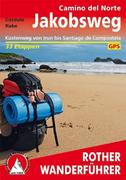
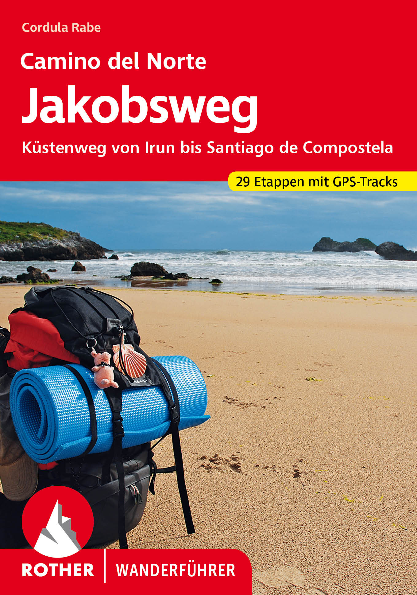
- Jakobsweg Camino del Norte
- Küstenweg von Irun bis Santiago de Compostela. 34 Etappen. Mit GPS-Daten Rother Wanderführer. 3., aktualisierte Auflage 2015. Leer más
- Also available from:
- Bol.com, Belgium
- De Zwerver, Netherlands
Bol.com
Belgium
2016
Belgium
2016
- Jakobsweg Camino del Norte
- Küstenweg von Irun bis Santiago de Compostela. 34 Etappen. Mit GPS-Daten Rother Wanderführer. 3., aktualisierte Auflage 2015. Leer más
De Zwerver
Netherlands
2023
Netherlands
2023
- Wandelgids - Pelgrimsroute 279 Jakobsweg Camino del Norte | Rother Bergverlag
- Küstenweg von Irun bis Santiago de Compostela. 34 Etappen. Mit GPS-Daten Rother Wanderführer. 3., aktualisierte Auflage 2015. Leer más
Mapas

Stanfords
United Kingdom
United Kingdom
- Vienna Woods F&B WK011
- The Vienna Woods at 1:50,000 in a series of contoured and GPS compatible outdoor leisure map from Freytag & Berndt with hiking and cycling routes, mountain huts, campsites and youth hostels, local bus stops, plus other tourist information.To see the list of currently available titles in this series please click on the series link.Freytag &... Leer más

Stanfords
United Kingdom
United Kingdom
- Mostviertel - Strudengau - Donauland - Amstetten - Waidhofen a.d. Ybbs - Steyr F&B WK052
- Mostviertel - Strudengau - Donauland - Amstetten - Waidhofen a.d. Ybbs - Steyr area of eastern Austria presented at 1:50,000 in a series of contoured and GPS compatible outdoor leisure map from Freytag & Berndt with hiking and cycling routes, mountain huts, campsites and youth hostels, local bus stops, plus other tourist information.To see the... Leer más

Stanfords
United Kingdom
United Kingdom
- Lienz Dolomites - Lesachtal - Villgratner Berge F&B WK182
- Lienz Dolomites - Lesachtal area of Carinthia presented at 1:50,000 in a series of contoured and GPS compatible outdoor leisure map from Freytag & Berndt with hiking and cycling routes, mountain huts, campsites and youth hostels, local bus stops, plus other tourist information.To see the list of currently available titles in this series please... Leer más
- Also available from:
- The Book Depository, United Kingdom

The Book Depository
United Kingdom
United Kingdom
- Lienz Dolomites - Lesachtal - Villgratner Mountains Hiking + Leisure Map 1:50 000
- Lienz Dolomites - Lesachtal area of Carinthia presented at 1:50,000 in a series of contoured and GPS compatible outdoor leisure map from Freytag & Berndt with hiking and cycling routes, mountain huts, campsites and youth hostels, local bus stops, plus other tourist information.To see the list of currently available titles in this series please... Leer más

Stanfords
United Kingdom
United Kingdom
- Kufstein - Kaisergebirge - Kitzbühel F&B WK301
- Kufstein - Kaisergebirge - Kitzbühel - Wörgl - St Johann in Tirol area of the Austrian Alps presented at 1:50,000 in a series of contoured and GPS compatible outdoor leisure map from Freytag & Berndt with hiking and cycling routes, mountain huts, campsites and youth hostels, local bus stops, plus other tourist information. To see the list of... Leer más
- Also available from:
- The Book Depository, United Kingdom

The Book Depository
United Kingdom
United Kingdom

Stanfords
United Kingdom
United Kingdom
- Ötztal - Pitztal - Kaunertal - Wildspitze F&B WK251
- Ötztal - Pitztal - Kaunertal - Wildspitze area of the Austrian Alps presented at 1:50,000 in a series of contoured and GPS compatible outdoor leisure map from Freytag & Berndt with hiking and cycling routes, mountain huts, campsites and youth hostels, local bus stops, plus other tourist information.To see the list of currently available titles... Leer más
- Also available from:
- The Book Depository, United Kingdom

The Book Depository
United Kingdom
United Kingdom

Stanfords
United Kingdom
United Kingdom
- Lechtal Alps - Allgau Alps F&B WK351
- Lechtaler - Allgäuer Alpen - Oberstdorf - Landeck area of the Austrian and Bavarian Alps presented at 1:50,000 in a series of contoured and GPS compatible outdoor leisure map from Freytag & Berndt with hiking and cycling routes, mountain huts, campsites and youth hostels, local bus stops, plus other tourist information. To see the list of... Leer más
- Also available from:
- The Book Depository, United Kingdom

The Book Depository
United Kingdom
United Kingdom
De Zwerver
Netherlands
Netherlands
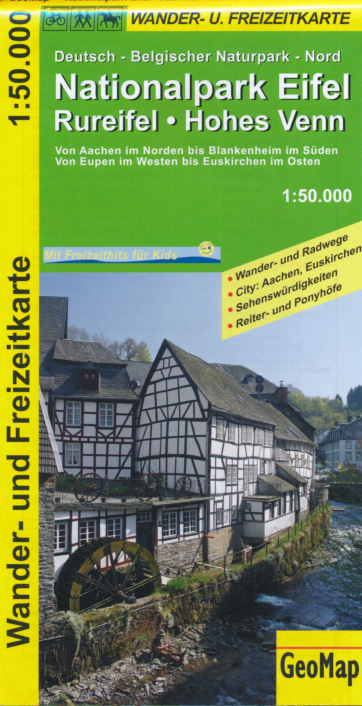
- Wandelkaart 44101 Nationalpark Eifel - Rureifel - Hohes Venn | GeoMap
- Goede detailkaart van dit gebied, met wandel en fietsroutes, met vereenvoudigde cartografie. Symbolen voor o.a. campings, horeca en bezienswaardigheden. Leer más

De Zwerver
Netherlands
2020
Netherlands
2020
- Wandelatlas - Pelgrimsroute (kaart) 161 Chemins de Compostelle GR65 | Michelin
- Véritable petit atlas détaillant chaque étape avec indications précises concernant les villes de départ et d'arrivée ainsi que pour les localités traversées (auberges, refuges, restaurants, pharmacies, gare, épiceries, Km parcourus, Km restants....).Ce petit atlas suit le chemin du... Leer más

Stanfords
United Kingdom
United Kingdom
- The Way of St. James to Compostela: Spanish Section
- The main route of the Way of St James to Compostela across northern Spain presented at 1:100,000 on a durable, waterproof and tear-resistant map from Kompass, arranged as 26 separate strips, each with a route profile, plus additional street plans of central Logroño, Burgos, León and Santiago itself.The whole route is covered on 26 panels, each... Leer más
- Also available from:
- De Zwerver, Netherlands

De Zwerver
Netherlands
Netherlands
- Wandelkaart - Pelgrimsroute (kaart) 133 Spanischer Jakobsweg | Kompass
- The main route of the Way of St James to Compostela across northern Spain presented at 1:100,000 on a durable, waterproof and tear-resistant map from Kompass, arranged as 26 separate strips, each with a route profile, plus additional street plans of central Logro Leer más

Stanfords
United Kingdom
United Kingdom
- Bregenz Forest F&B WK364
- Bregenz - Bregenzerwald area of the Austrian Alps presented at 1:50,000 in a series of contoured and GPS compatible outdoor leisure map from Freytag & Berndt with hiking and cycling routes, mountain huts, campsites and youth hostels, local bus stops, plus other tourist information. To see the list of currently available titles in this series... Leer más
- Also available from:
- The Book Depository, United Kingdom
- Bol.com, Netherlands
- Bol.com, Belgium

The Book Depository
United Kingdom
United Kingdom
- Bregenz Forest Hiking + Leisure Map 1:50 000
- Bregenz - Bregenzerwald area of the Austrian Alps presented at 1:50,000 in a series of contoured and GPS compatible outdoor leisure map from Freytag & Berndt with hiking and cycling routes, mountain huts, campsites and youth hostels, local bus stops, plus other tourist information. To see the list of currently available titles in this series... Leer más

Bol.com
Netherlands
Netherlands
- FB WK364 Bregenzerwald
- Aufgrund der übersichtlichen und detailgetreuen, digitalen Kartographie sowie der ideal gewählten Maßstäbe sind freytag & berndt Wanderkarten der perfekte Begleiter beim Wandern und Bergsteigen. Sie werden regelmäßig überarbeitet und enthalten aktualisierte Informationen zu Wanderwegen, Rad- und Mountainbikestrecken, Hütten, Naturdenkmälern,... Leer más
Bol.com
Belgium
Belgium
- FB WK364 Bregenzerwald
- Aufgrund der übersichtlichen und detailgetreuen, digitalen Kartographie sowie der ideal gewählten Maßstäbe sind freytag & berndt Wanderkarten der perfekte Begleiter beim Wandern und Bergsteigen. Sie werden regelmäßig überarbeitet und enthalten aktualisierte Informationen zu Wanderwegen, Rad- und Mountainbikestrecken, Hütten, Naturdenkmälern,... Leer más

Stanfords
United Kingdom
United Kingdom
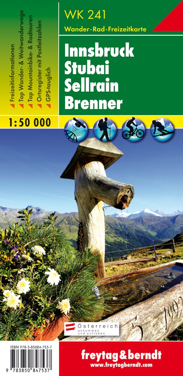
- Innsbruck - Stubai - Sellrain - Brenner F&B WK241
- Innsbruck - Stubai - Sellrain - Brenner area of the Austrian Alps presented at 1:50,000 in a series of contoured and GPS compatible outdoor leisure map from Freytag & Berndt with hiking and cycling routes, mountain huts, campsites and youth hostels, local bus stops, plus other tourist information.To see the list of currently available titles in... Leer más
- Also available from:
- Bol.com, Netherlands
- Bol.com, Belgium
- De Zwerver, Netherlands
Bol.com
Netherlands
Netherlands
- FB WK241 Innsbruck • Stubai • Sellrain • Brenner
- Fiets- en wandelkaart • schaal 1:50 000 • activiteiten gids • plaatsnamenregister met postcodes • fietspaden en mountainbikeroutes • vermelding GPS-punten • met ski- en langlaufroutes Leer más
Bol.com
Belgium
Belgium
- FB WK241 Innsbruck • Stubai • Sellrain • Brenner
- Fiets- en wandelkaart • schaal 1:50 000 • activiteiten gids • plaatsnamenregister met postcodes • fietspaden en mountainbikeroutes • vermelding GPS-punten • met ski- en langlaufroutes Leer más
De Zwerver
Netherlands
Netherlands
- Wandelkaart WK241 Innsbrück - Stubai - Sellrain - Brenner | Freytag & Berndt
- Innsbruck - Stubai - Sellrain - Brenner area of the Austrian Alps presented at 1:50,000 in a series of contoured and GPS compatible outdoor leisure map from Freytag & Berndt with hiking and cycling routes, mountain huts, campsites and youth hostels, local bus stops, plus other tourist information.To see the list of currently available titles in... Leer más
De Zwerver
Netherlands
Netherlands
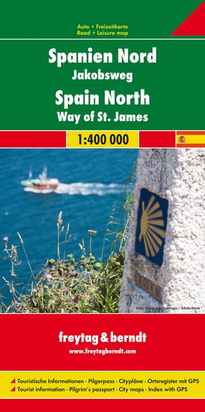
- Wegenkaart - landkaart Spanje Noord - Camino de Santiago | Freytag & Berndt
- Spanien - Jakobsweg, Autokarte 1:400.000 ab 10.9 EURO Touristische Informationen, Pilgerpass, Citypläne, Ortsregister mit GPS Freytag & Berndt Autokarte Leer más
Más mapas…