
Saltfjellet
Descripción

Saltfjellet is a remote and wild mountain plateau in the north of Norway, between Mo i Rana and Bodø. The flat plateau is broken by several mountain ranges, running up to 1800 m, and wooded valleys. The mountain scenery gets wilder towards the ocean. In the south west of the plateau, the glacier Svartisen is reached.
The entire area, with all its variety, is well served by little self-service huts, but the remoteness implies you have to carry your food for the entire trip.
Saltfjellet is situated between other fine area's with equally impressive wide landscapes, barren mountain slopes, wild rivers and ice fields. To the south you will enter the mountains of Rana and then Okstindan. To the north lies Sulitjelmafjellene, and where this ends, the Nordkalottleden takes over to keep you on trail for another month to Kautokeino in the far north.
Mapa

Senderos en región


Enlaces
Datos
Informes
Guías y mapas
Hospedaje
Organizaciones
Operadores turísticos
GPS
Otro
Mapas

United Kingdom
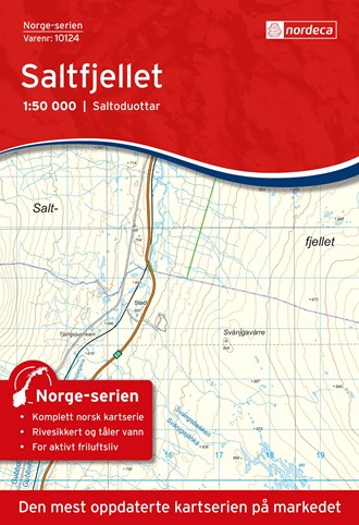
- Saltfjellet Nordeca 10124
- Map No. 10124, Saltfjellet, in the new topographic survey of Norway at 1:50,000 covering the country on 195 double-sided sheets and first published by Nordeca in 2011 - 2012; fully GPS compatible, indicating waymarked footpaths, campsites, tourist huts, illuminated ski runs, etc.The maps, now published by Nordeca, the successors to Statens... Leer más
Netherlands
- Wandelkaart - Topografische kaart 10124 Norge Serien Saltfjellet | Nordeca
- Een compleet nieuwe serie topografische kaarten voor Noorwegen 1:50 000. Het heeft een moderne cartografie, ontwikkeld voor het actieve buitenleven. Deze kaarten zijn ideaal voor wandel-en recreatief gebruik in de bergen, bossen, langs de kust en voor de jacht en de visserij. Voor professionele organisaties bieden de kaarten de nodige kennis... Leer más