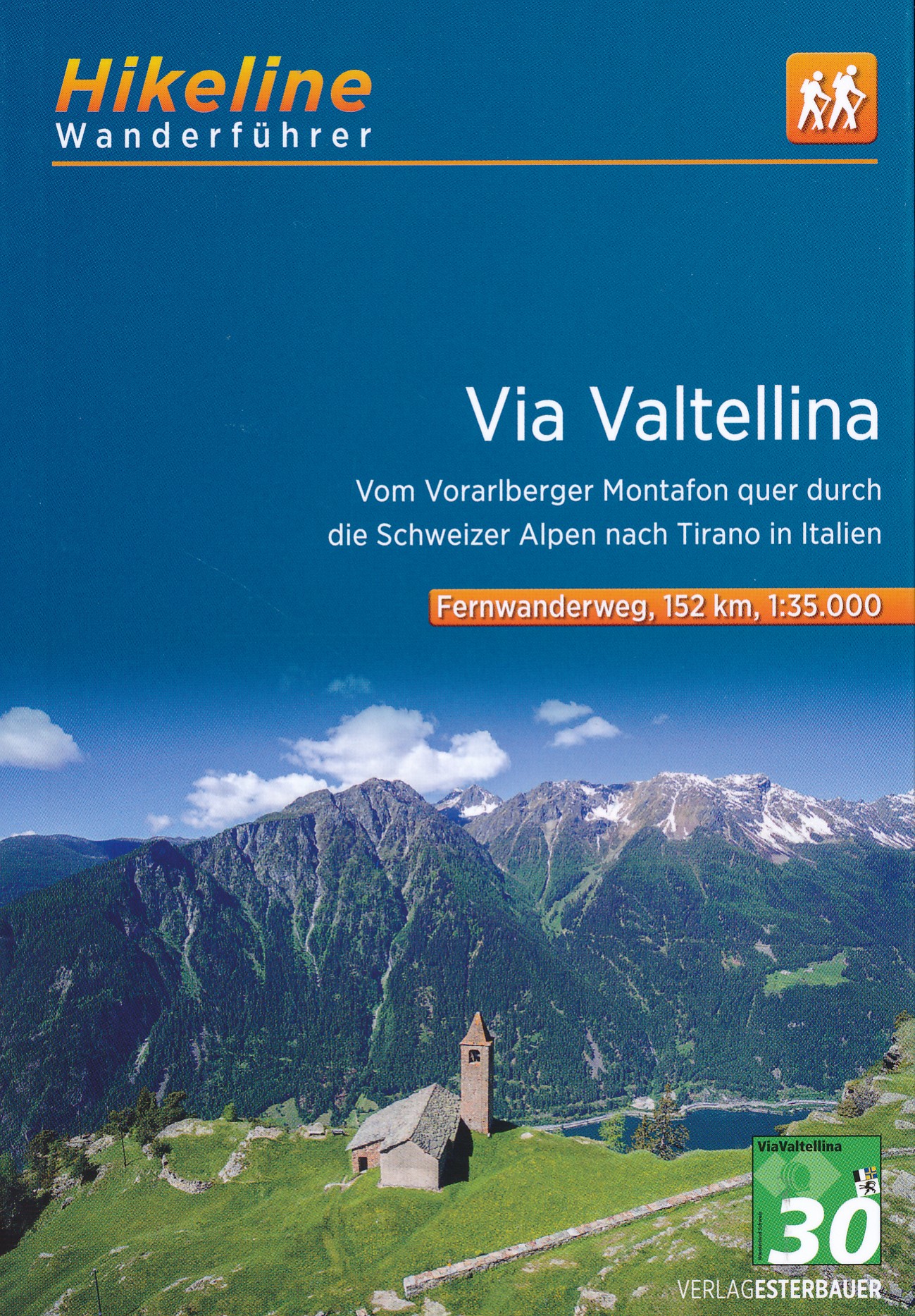
Via Valtellina
Descripción
- Name Via Valtellina (green:green::30:white)
- Distancia de sendero 130 km, 81 millas
- Duración en días 9 días
- Inicio de sendero Tirano (I)
- Fin de sendero Gargellen (A)
- Clasificación Traildino MW, Caminata moderada, sendero de mochileros
- Clasificación Travesía de refugios T1, Caminata
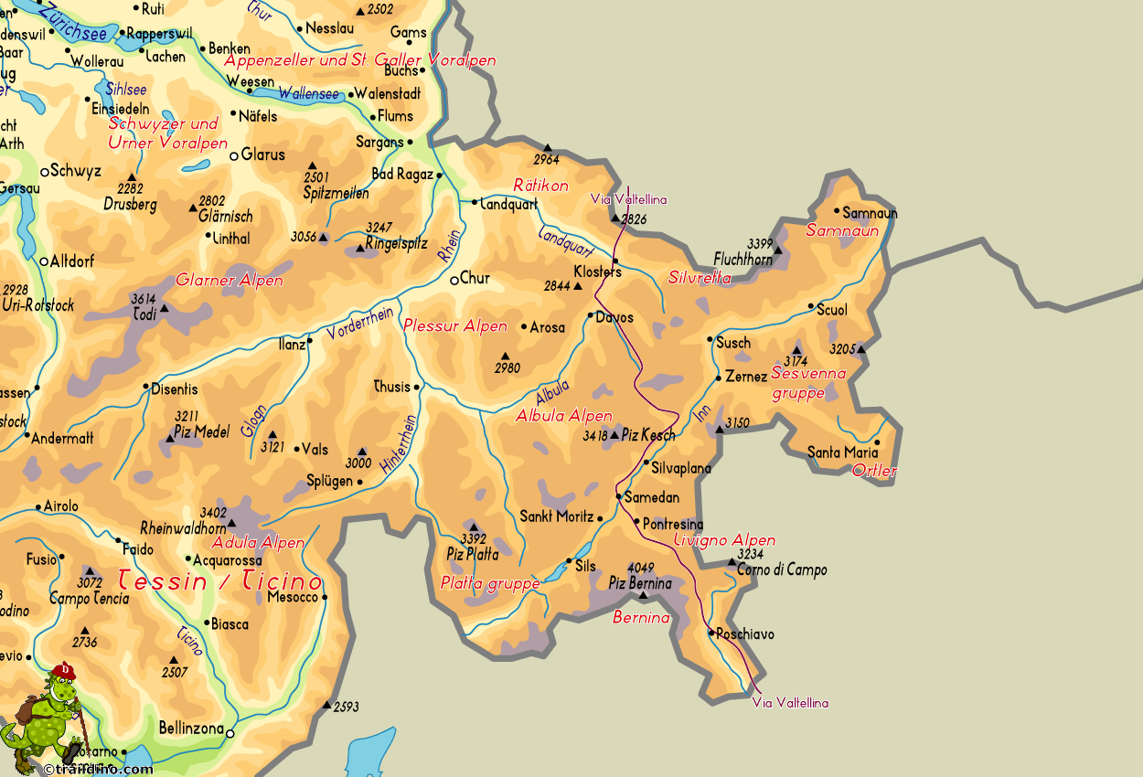
Tirano (I), via Switzerland to Gargellen (A), 130 km, 9 days
This path belongs to the Swiss so called Kulturwege, or Cultural Routes. These are former roads, connecting valleys and regions, revived into trails "combining the pleasure of walking along a historical route, with opportunities to enjoy many cultural attractions".
The Via Valtellina is an old trade route. The trail crosses East Switzerland - Graubünden - from south to north, starting in Italy and ending in Austria. Its origin goes back to the wine trade. The wines from the Italian Valtellina were transported by mule over three Alpine passes to the Swiss region of Graubünden and the Austrian Vorarlberg. What that meant, you can now experience yourself, unfortunately not with a drove of mules, but with one or two bottles of the finest wines in your backpack.
This path is not very demanding, apart from the advantage you might get from a good condition. The daily stages range from 4 to 6 hours walking. Sleeping is done in the villages en route, and sometimes a hut. The paths are well marked course.


