Dingle Peninsula
Descripción

The Dingle Peninsula is part of popular county Kerry. The peninsula sticks into the atlantic ocean. Mountainous and picturesque, the peninsula can be explored by the Dingle Way.
Senderos en región
Enlaces
Datos
Informes
Guías y mapas
Hospedaje
Organizaciones
Operadores turísticos
GPS
Otro
Libros

Stanfords
United Kingdom
United Kingdom
- Travels in Wicklow,West Kerry and Connemara
- J.M. Synge was a tireless traveller who, while celebrating the beauties of the Irish landscape, never flinched from describing the harsh, unromantic reality of rural life. Jack B. Yeats`s evocative drawings were intended to accompany these accounts of Synge`s travels, and they are now published together again for the first time in 100... Leer más

Stanfords
United Kingdom
United Kingdom
- Epic Hikes of Europe
- Lace up your hiking boots for the next in Lonely Planet`s highly successful Epic series, this time exploring 50 of Europe`s most rewarding and beautiful hikes. From the sun-kissed regions of Southern Europe, including Italy, Greece, Portugal and Spain, to North Europe`s history-rich heartlands (including France, Germany, Belgium, Britain,... Leer más
- Also available from:
- The Book Depository, United Kingdom


The Book Depository
United Kingdom
United Kingdom
- The Dingle, Iveragh & Beara Peninsulas Walking Guide
- The Dingle, Iveragh and Beara peninsulas dominate the spectacular landscape of southwest Ireland. Their rugged peaks, dramatic ridges, captivating valleys, glittering lakes and stunning Atlantic coastline form a treasure chest of walking options. This guide describes exhilarating walks in each peninsula, accompanied by the author's photographs... Leer más

- Also available from:
- De Zwerver, Netherlands
Bol.com
Netherlands
Netherlands
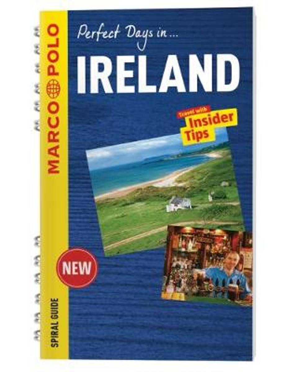
- Ireland Marco Polo Travel Guide - with pull out map
- Perfect Days in... Ireland. For advice you can trust, look no further than Marco Polo. Ireland Marco Polo Travel Guide is a compact travel guide for people who have little time to prepare for a trip, don't want to miss anything, like to be inspired by great ideas for exciting days out and love all things ultra-practical and easy to use. Marvel... Leer más
- Also available from:
- Bol.com, Belgium
Bol.com
Belgium
Belgium
- Ireland Marco Polo Travel Guide - with pull out map
- Perfect Days in... Ireland. For advice you can trust, look no further than Marco Polo. Ireland Marco Polo Travel Guide is a compact travel guide for people who have little time to prepare for a trip, don't want to miss anything, like to be inspired by great ideas for exciting days out and love all things ultra-practical and easy to use. Marvel... Leer más

- Also available from:
- Bol.com, Netherlands
- Bol.com, Belgium
- De Zwerver, Netherlands

Bol.com
Netherlands
2015
Netherlands
2015
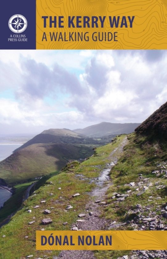
- The Kerry Way
- The Kerry Way is Ireland's longest waymarked trail and one of the most popular. Looping around the Iveragh Peninsula, it follows narrow country roads, forest paths, abandoned coach roads and mass paths, national park land and farmland. This clear and lively guide gives the prospective wayfarer enough information to plan and enjoy every step. It... Leer más
Bol.com
Belgium
2015
Belgium
2015
- The Kerry Way
- The Kerry Way is Ireland's longest waymarked trail and one of the most popular. Looping around the Iveragh Peninsula, it follows narrow country roads, forest paths, abandoned coach roads and mass paths, national park land and farmland. This clear and lively guide gives the prospective wayfarer enough information to plan and enjoy every step. It... Leer más
Bol.com
Netherlands
2009
Netherlands
2009
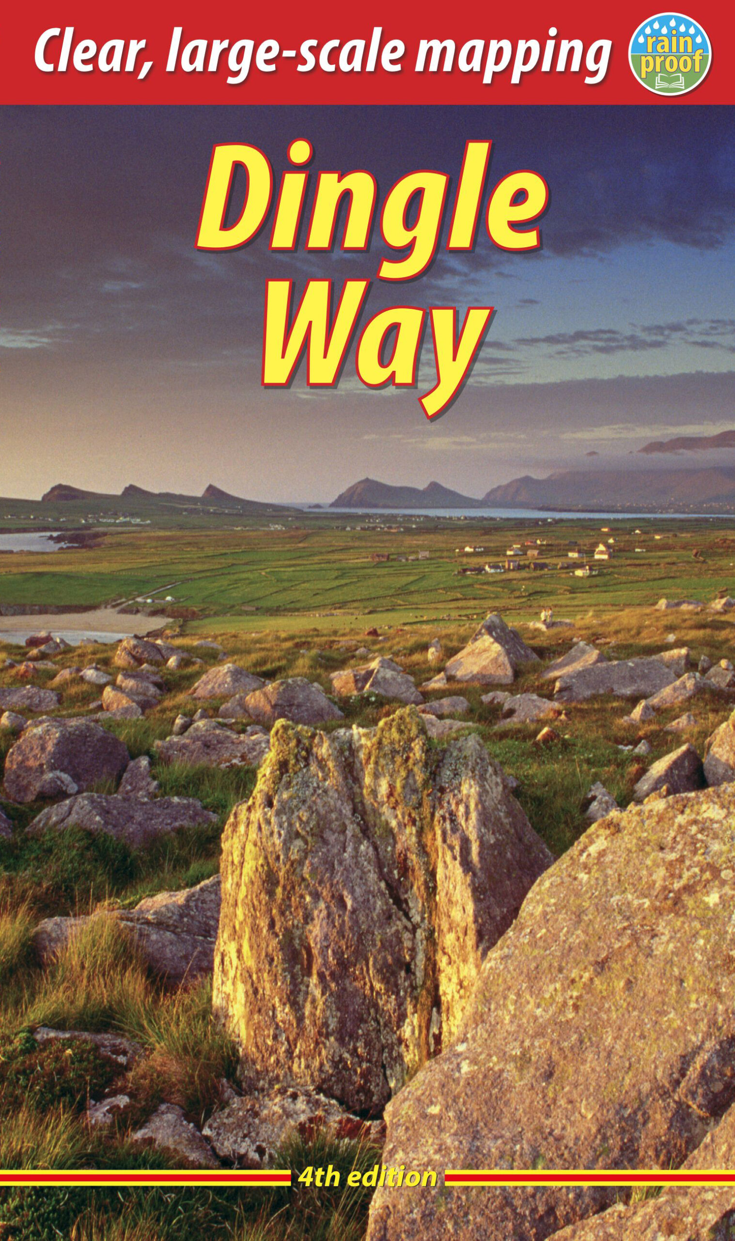
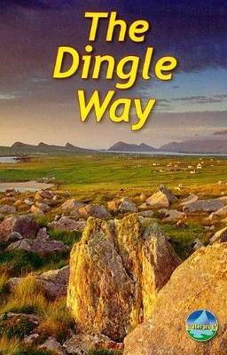
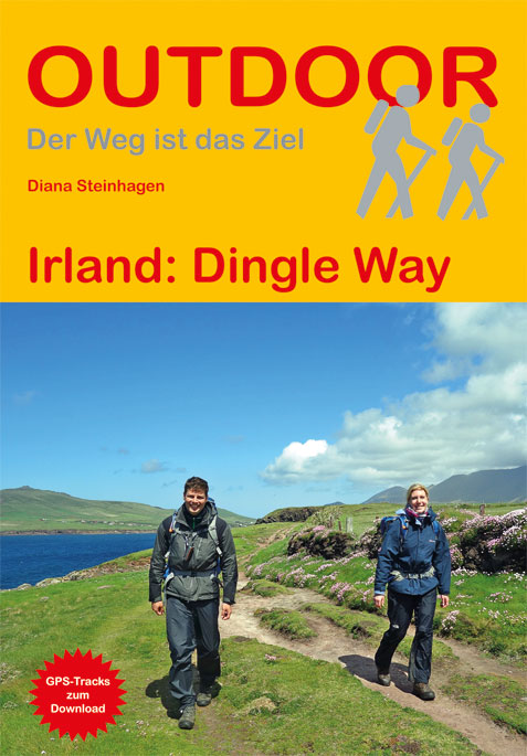
- The Dingle Way
- The Dingle Way runs 111 miles (179 km) around the beautiful Dingle Peninsula. It starts and finishes in Tralee, accessible by train or bus from Dublin and from Kerry Airport. The complete walk takes eight days, but it can easily be shortened. The Dingle Way follows country lanes, quiet roads and cliff-top paths, punctuated by long stretches of... Leer más
- Also available from:
- Bol.com, Belgium
Bol.com
Belgium
2009
Belgium
2009
- The Dingle Way
- The Dingle Way runs 111 miles (179 km) around the beautiful Dingle Peninsula. It starts and finishes in Tralee, accessible by train or bus from Dublin and from Kerry Airport. The complete walk takes eight days, but it can easily be shortened. The Dingle Way follows country lanes, quiet roads and cliff-top paths, punctuated by long stretches of... Leer más
Bol.com
Netherlands
2011
Netherlands
2011
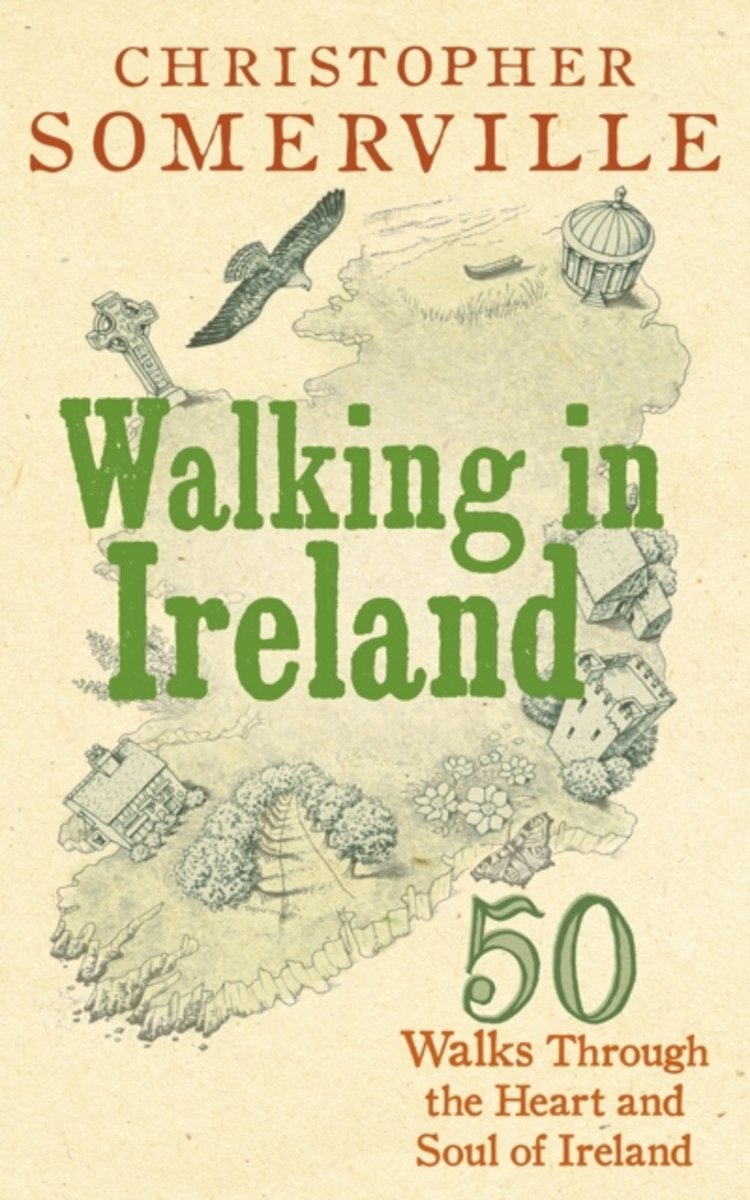
- Walking in Ireland
- Walking has never been a more popular pastime and nowhere is more beautiful for walkers to explore than Ireland. In this beautifully written and superbly researched guide, Christopher Somerville draws on his very popular column for the Irish Independent, to present 50 of the very best walks in Ireland - from the Nephin Beg Mountains in Mayo to... Leer más
- Also available from:
- Bol.com, Belgium
Bol.com
Belgium
2011
Belgium
2011
- Walking in Ireland
- Walking has never been a more popular pastime and nowhere is more beautiful for walkers to explore than Ireland. In this beautifully written and superbly researched guide, Christopher Somerville draws on his very popular column for the Irish Independent, to present 50 of the very best walks in Ireland - from the Nephin Beg Mountains in Mayo to... Leer más

Stanfords
United Kingdom
United Kingdom
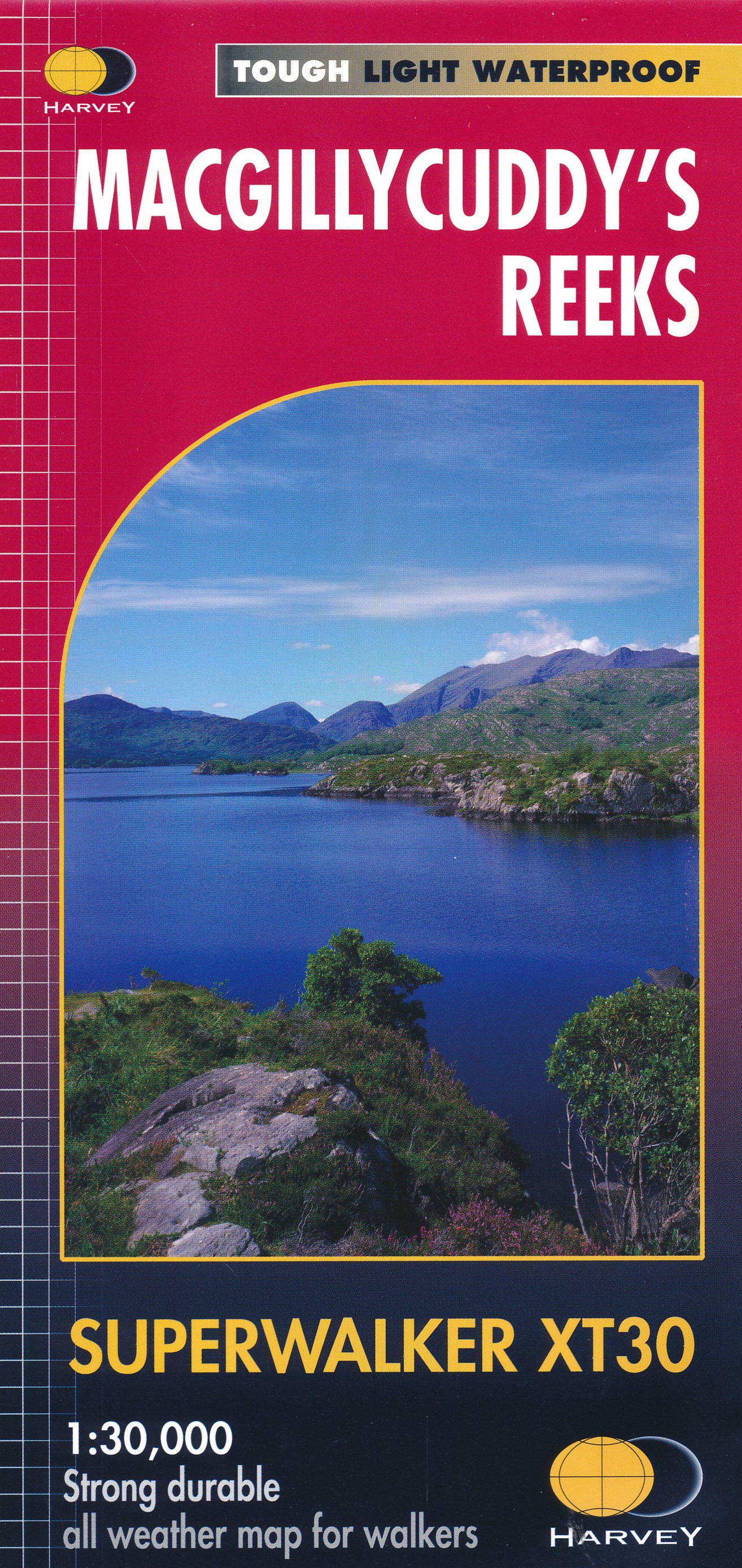
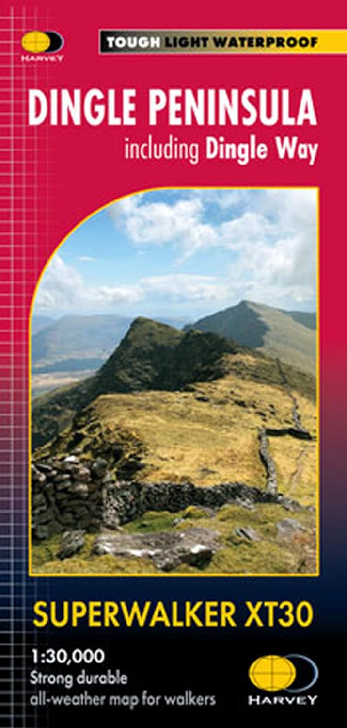
- MacGillycuddy`s Reeks Harvey Superwalker XT30
- Includes the whole of the Killarney National Park.Detailed map for hillwalkers of MacGillycuddy`s Reeks at 1:30,000 scale.Summit enlargement of Carrauntoohil at 1:15,000.Shows tracks, paths and cliffs in detail. As used by Mountain Rescue Ireland.PLEASE NOTE: this title is also available as a pocket-size Ultramap with its scale reduced to... Leer más
- Also available from:
- De Zwerver, Netherlands

Stanfords
United Kingdom
2017
United Kingdom
2017
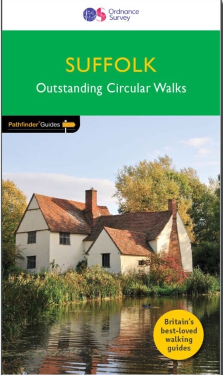
- Suffolk - Outstanding Circular Walks
- Suffolk`s riverside meadows of the Stour valley remain as beautiful today as when Constable painted them two centuries ago. Similarly, the county`s lonely expanses of estuarine marsh, which are a feature of the coast, have a quality that appeal to writers as well as artists. A walk through Flatford and East Bergholt passes one of Constable`s... Leer más
- Also available from:
- The Book Depository, United Kingdom
- Bol.com, Netherlands
- Bol.com, Belgium
- De Zwerver, Netherlands

The Book Depository
United Kingdom
2017
United Kingdom
2017
- Suffolk
- Suffolk`s riverside meadows of the Stour valley remain as beautiful today as when Constable painted them two centuries ago. Similarly, the county`s lonely expanses of estuarine marsh, which are a feature of the coast, have a quality that appeal to writers as well as artists. A walk through Flatford and East Bergholt passes one of Constable`s... Leer más
Bol.com
Netherlands
2017
Netherlands
2017
- Suffolk
- Suffolk's riverside meadows of the Stour valley remain as beautiful today as when Constable painted them two centuries ago. Similarly, the county's lonely expanses of estuarine marsh, which are a feature of the coast, have a quality that appeal to writers as well as artists. A walk through Flatford and East Bergholt passes one of Constable's... Leer más
Bol.com
Belgium
2017
Belgium
2017
- Suffolk
- Suffolk's riverside meadows of the Stour valley remain as beautiful today as when Constable painted them two centuries ago. Similarly, the county's lonely expanses of estuarine marsh, which are a feature of the coast, have a quality that appeal to writers as well as artists. A walk through Flatford and East Bergholt passes one of Constable's... Leer más
De Zwerver
Netherlands
2017
Netherlands
2017
- Wandelgids 48 Pathfinder Guides Suffolk | Ordnance Survey
- Suffolk`s riverside meadows of the Stour valley remain as beautiful today as when Constable painted them two centuries ago. Similarly, the county`s lonely expanses of estuarine marsh, which are a feature of the coast, have a quality that appeal to writers as well as artists. A walk through Flatford and East Bergholt passes one of Constable`s... Leer más

Stanfords
United Kingdom
2021
United Kingdom
2021
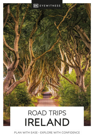
- DK Eyewitness Road Trips Ireland
- With its unspoiled coastline, dramatic ruins and picturesque villages, Ireland is the perfect destination for a leisurely road trip. It`s yours to explore with Road Trips Ireland, which contains 24 amazing drives across the country, from the majestic Ring of Kerry to the extraordinary Giant`s Causeway.Packed with insider tips and information,... Leer más
- Also available from:
- De Zwerver, Netherlands
De Zwerver
Netherlands
2021
Netherlands
2021
- Reisgids Road Trips Ireland - Ierland | Dorling Kindersley
- With its unspoiled coastline, dramatic ruins and picturesque villages, Ireland is the perfect destination for a leisurely road trip. It`s yours to explore with Road Trips Ireland, which contains 24 amazing drives across the country, from the majestic Ring of Kerry to the extraordinary Giant`s Causeway.Packed with insider tips and information,... Leer más
Bol.com
Netherlands
Netherlands
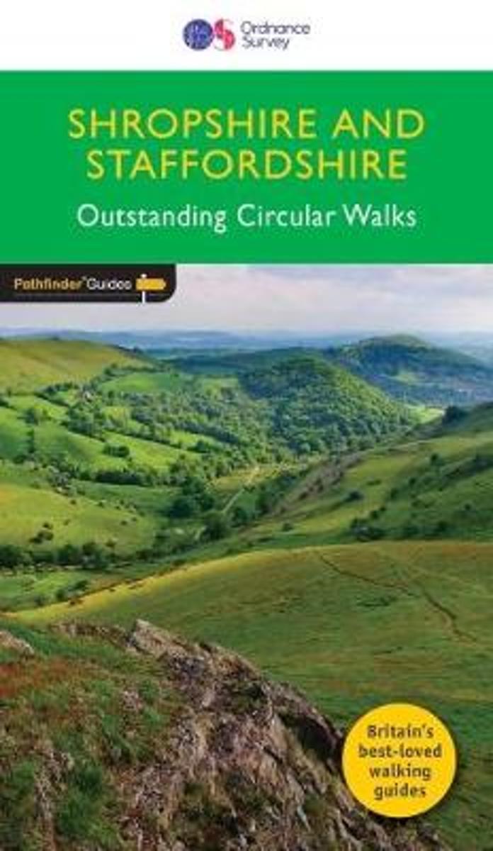
- SHROPSHIRE & STAFFORDSHIRE
- Britain's best loved walking guides brings you a brand new Pathfinder (R) Guide to Shropshire & Staffordshire Walks containing 28 fabulous walks exploring the unspoilt rural landscapes of Shropshire and Staffordshire from the Welsh borders to the fringes of the Peak District, and from the mosses and meres near the Cheshire border to Cannock... Leer más
- Also available from:
- Bol.com, Belgium
Bol.com
Belgium
Belgium
- SHROPSHIRE & STAFFORDSHIRE
- Britain's best loved walking guides brings you a brand new Pathfinder (R) Guide to Shropshire & Staffordshire Walks containing 28 fabulous walks exploring the unspoilt rural landscapes of Shropshire and Staffordshire from the Welsh borders to the fringes of the Peak District, and from the mosses and meres near the Cheshire border to Cannock... Leer más

- Also available from:
- Bol.com, Netherlands
- Bol.com, Belgium
- De Zwerver, Netherlands
Bol.com
Netherlands
2012
Netherlands
2012
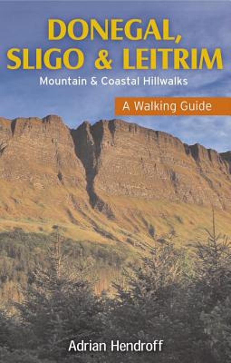
- Donegal, Sligo & Leitrim
- The northwest of Ireland provides a diversity of walks, from the wild, untamed landscape of Donegal to the gentler hills and green valleys of Sligo and Leitrim. This guidebook describes 27 walks of various grades, accompanied by quality photographs and specially drawn maps. Walk descriptions also include material on the rich natural history,... Leer más
Bol.com
Belgium
2012
Belgium
2012
- Donegal, Sligo & Leitrim
- The northwest of Ireland provides a diversity of walks, from the wild, untamed landscape of Donegal to the gentler hills and green valleys of Sligo and Leitrim. This guidebook describes 27 walks of various grades, accompanied by quality photographs and specially drawn maps. Walk descriptions also include material on the rich natural history,... Leer más
De Zwerver
Netherlands
2012
Netherlands
2012
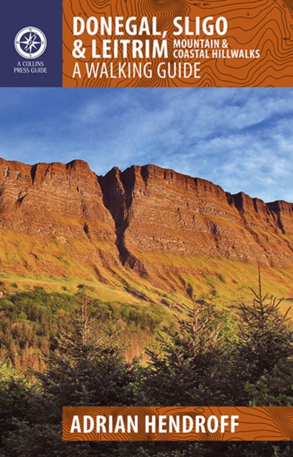
- Wandelgids Donegal, Sligo & Leitrim | The Collins Press
- The northwest of Ireland provides a diversity of walks, from the wild, untamed landscape of Donegal, with its mountains, sea-cliffs and glens, to the gentler hills, green valleys and picturesque escarpments of Sligo and Leitrim. This guidebook describes 30 walks of various grades in this fascinating part of Ireland that has inspired poets, and... Leer más

Stanfords
United Kingdom
United Kingdom
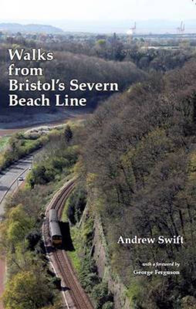
- Walks from Bristol`s Severn Beach Line
- Bristol is one of the best cities in the world for exploring on foot and the Severn Beach Line - once hailed as one of Britain`s most scenic railways - is the gateway to some of its finest sights. The walks in this guide range from short strolls exploring Georgian crescents and city parks to all-day excursions through ancient woodlands,... Leer más
- Also available from:
- The Book Depository, United Kingdom
- Bol.com, Netherlands
- Bol.com, Belgium

Bol.com
Netherlands
Netherlands
- Walks from Bristol's Severn Beach Line
- Bristol is one of the best cities in the world for exploring on foot and the Severn Beach Line - once hailed as one of Britain's most scenic railways - is the gateway to some of its finest sights. The walks in this guide range from short strolls exploring Georgian crescents and city parks to all-day excursions through ancient woodlands,... Leer más
Bol.com
Belgium
Belgium
- Walks from Bristol's Severn Beach Line
- Bristol is one of the best cities in the world for exploring on foot and the Severn Beach Line - once hailed as one of Britain's most scenic railways - is the gateway to some of its finest sights. The walks in this guide range from short strolls exploring Georgian crescents and city parks to all-day excursions through ancient woodlands,... Leer más
Mapas

Stanfords
United Kingdom
United Kingdom
- Cork S OSI Discovery 87
- Map No. 87, Cork South-Central in the Discovery series from the OSI, the Ordnance Survey of Ireland, which presents the country on detailed topographic maps at 1:50,000, with additional overprint highlighting campsites and caravan parks, youth hostels, etc. Current 4th edition of this map was published in February 2013.Maps in the Discovery... Leer más

Stanfords
United Kingdom
United Kingdom
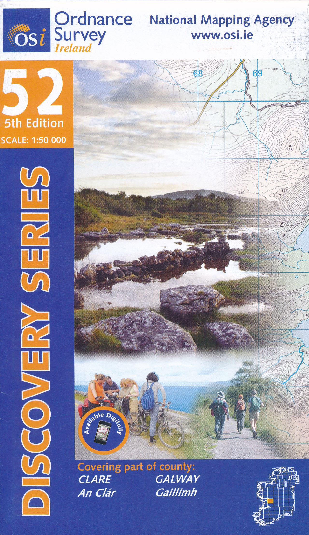
- Clare - Galway OSI Discovery 51
- Map No. 51, Clare North - Aran Islands in the Discovery series from the OSI, the Ordnance Survey of Ireland, which presents the country on detailed topographic maps at 1:50,000, with additional overprint highlighting campsites and caravan parks, youth hostels, etc. Current 5th edition of this map was published in 2015.Maps in the Discovery... Leer más

Stanfords
United Kingdom
United Kingdom
- Cork SW OSI Discovery 88
- Map No. 88, Cork South-West in the Discovery series from the OSI, the Ordnance Survey of Ireland, which presents the country on detailed topographic maps at 1:50,000, with additional overprint highlighting campsites and caravan parks, youth hostels, etc. Current 4th edition of this map was published in July 2010.Maps in the Discovery series... Leer más
Stanfords
United Kingdom
United Kingdom
- Clare OSI Discovery 57
- Map No. 57, Clare Central-West in the Discovery series from the OSI, the Ordnance Survey of Ireland, which presents the country on detailed topographic maps at 1:50,000, with additional overprint highlighting campsites and caravan parks, youth hostels, etc. Current 4th edition of this map was published in January 2013.Maps in the Discovery... Leer más
Stanfords
United Kingdom
United Kingdom
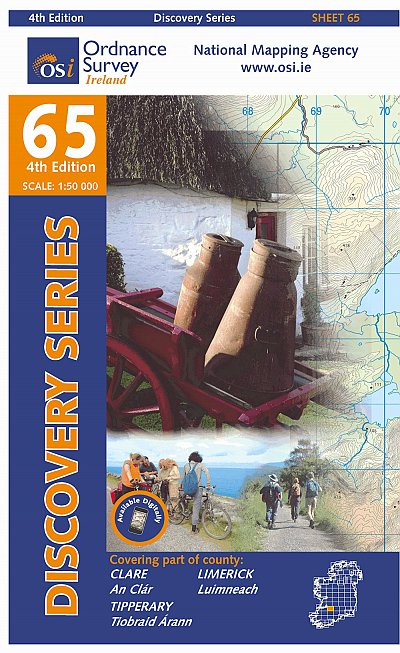
- Clare - Limerick - Tipperary OSI Discovery 65
- Map No. 65, Limerick North-East in the Discovery series from the OSI, the Ordnance Survey of Ireland, which presents the country on detailed topographic maps at 1:50,000, with additional overprint highlighting campsites and caravan parks, youth hostels, etc. Current 4th edition of this title was published in January 2013.Maps in the Discovery... Leer más
Stanfords
United Kingdom
United Kingdom
- Kerry - Cork - Limerick OSI Discovery 72
- Map No. 72, Kerry North-East - Cork North-West - Limerick South-West in the Discovery series from the OSI, the Ordnance Survey of Ireland, which presents the country on detailed topographic maps at 1:50,000, with additional overprint highlighting campsites and caravan parks, youth hostels, etc. Current 4th edition of this map was published in... Leer más
Stanfords
United Kingdom
United Kingdom
- Cork Central OSI Discovery 80
- Map No. 80, Cork Central in the Discovery series from the OSI, the Ordnance Survey of Ireland, which presents the country on detailed topographic maps at 1:50,000, with additional overprint highlighting campsites and caravan parks, youth hostels, etc. Current 4th edition of this map was published in January 2013.Maps in the Discovery series... Leer más

Stanfords
United Kingdom
United Kingdom
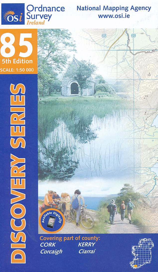
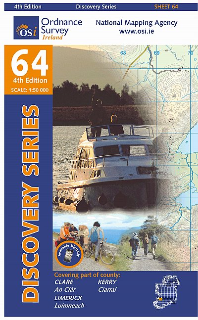
- Kerry (Dingle) OSI Discovery 70
- Map No. 70, Kerry: Dingle Peninsula in the Discovery series from the OSI, the Ordnance Survey of Ireland, which presents the country on detailed topographic maps at 1:50,000, with additional overprint highlighting campsites and caravan parks, youth hostels, etc. Current 5th edition of this map was published in summer 2015.Maps in the Discovery... Leer más
Stanfords
United Kingdom
United Kingdom
- Kerry OSI Discovery 83
- Map No. 83, Kerry South-West in the Discovery series from the OSI, the Ordnance Survey of Ireland, which presents the country on detailed topographic maps at 1:50,000, with additional overprint highlighting campsites and caravan parks, youth hostels, etc. Current 4th edition of this map was published in July 2010.Maps in the Discovery series... Leer más

Stanfords
United Kingdom
United Kingdom
- C55 Dingle Bay to Galway Bay
- Plans included: Cashla Bay (1:30 000) Galway Bay (1:40 000) Galway Harbour (1:15 000) Kilronan (Aran Is.) (1:45 000) River Shannon to Limerick (1:110 000) Kilrush (1:30 000) Foynes Harbour (1:17 500) Fenit Island (1:35 000) Dingle Harbour (1:25 000) On this 2015 edition revised depths are shown throughout, in particular at Cashla Bay, Galway... Leer más
Más mapas…