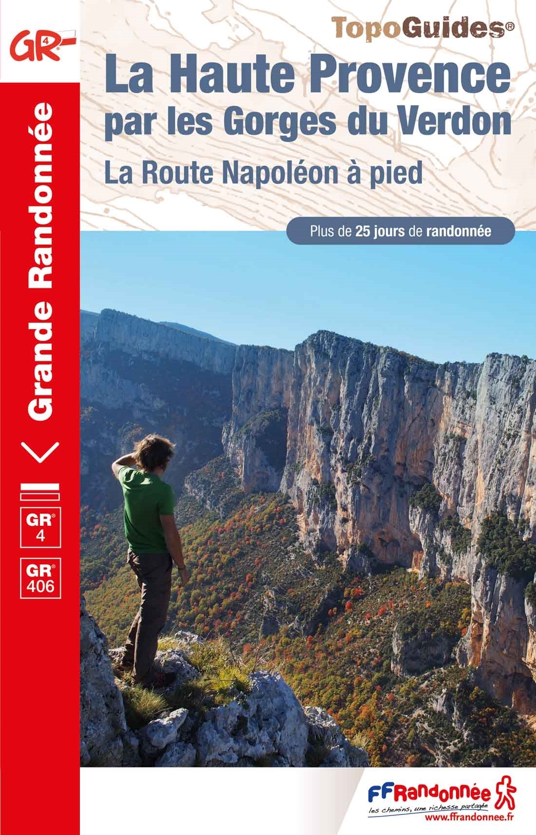
GR99 - Gorges du Verdon
Descripción
- Name GR99 - Gorges du Verdon (GR99)
- Distancia de sendero 242 km, 150 millas
- Duración en días 12 días
- Inicio de sendero Le Revest
- Fin de sendero Gorges du Verdon
- Clasificación Traildino MW, Caminata moderada, sendero de mochileros
- Clasificación Travesía de refugios T1, Caminata


99
 From Toulon at the Mediterranean Coast, the GR99 leads up into the Provence countryside and ends near the Gorges du Verdon. This canyon in the south of France is very popular. Several trails bring you into the long cleavage. The GR4 is a better option than the GR99. The latter one brings you near anyway.
Mapa

Enlaces
Datos
Informes
Guías y mapas
Hospedaje
Organizaciones
Operadores turísticos
GPS
Otro
Libros

Stanfords
United Kingdom
United Kingdom
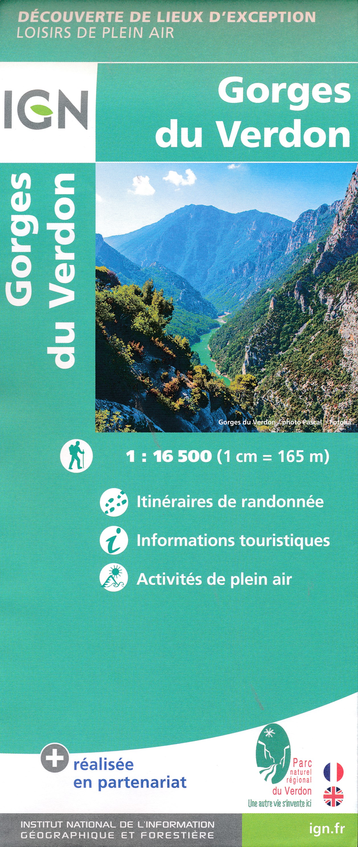
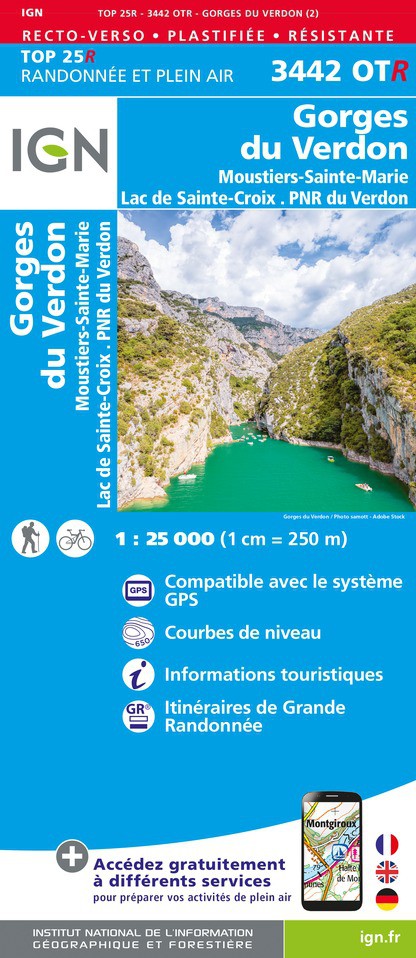
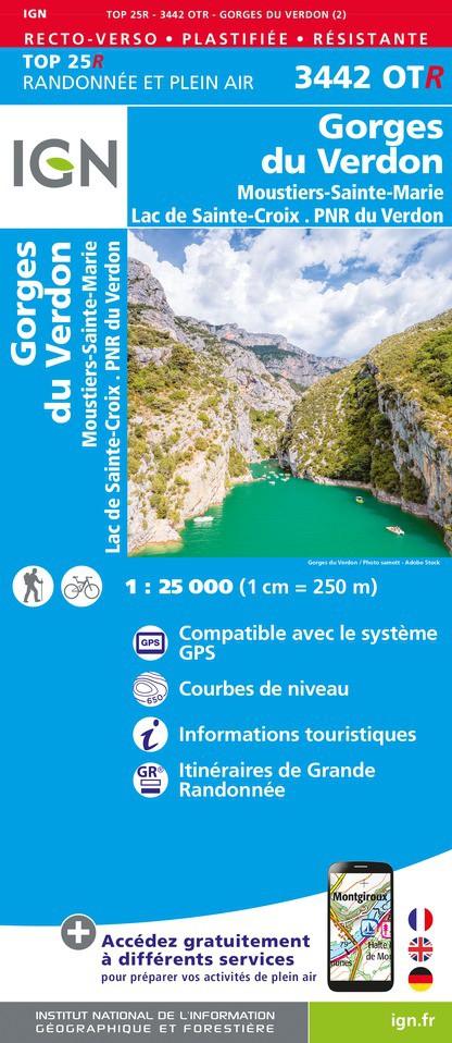
- Gorges du Verdon - Moustiers-Sainte-Marie - Lac de Ste-Croix - PNR du Verdon IGN WATERPROOF 3442OTR
- Topographic survey of France at 1:25,000 in IGN`s excellent TOP25 / Série Bleue series. All the maps are GPS compatible, with a 1km UTM grid plus latitude and longitude lines at 5’ intervals. Contours are at 5m intervals except for mountainous areas where the maps have contours at 10m intervals, vividly enhanced by hill shading and graphics for... Leer más

Stanfords
United Kingdom
United Kingdom
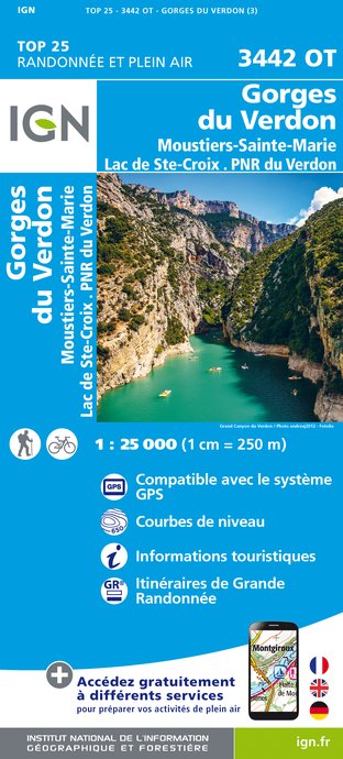
- Gorges du Verdon - Moustiers-Sainte-Marie - Lac de Ste-Croix - PNR du Verdon IGN 3442OT
- Topographic survey of France at 1:25,000 in IGN`s excellent TOP25 / Série Bleue series. All the maps are GPS compatible, with a 1km UTM grid plus latitude and longitude lines at 5’ intervals. Contours are at 5m intervals except for mountainous areas where the maps have contours at 10m intervals, vividly enhanced by hill shading and graphics for... Leer más
De Zwerver
Netherlands
2021
Netherlands
2021

Stanfords
United Kingdom
2022
United Kingdom
2022
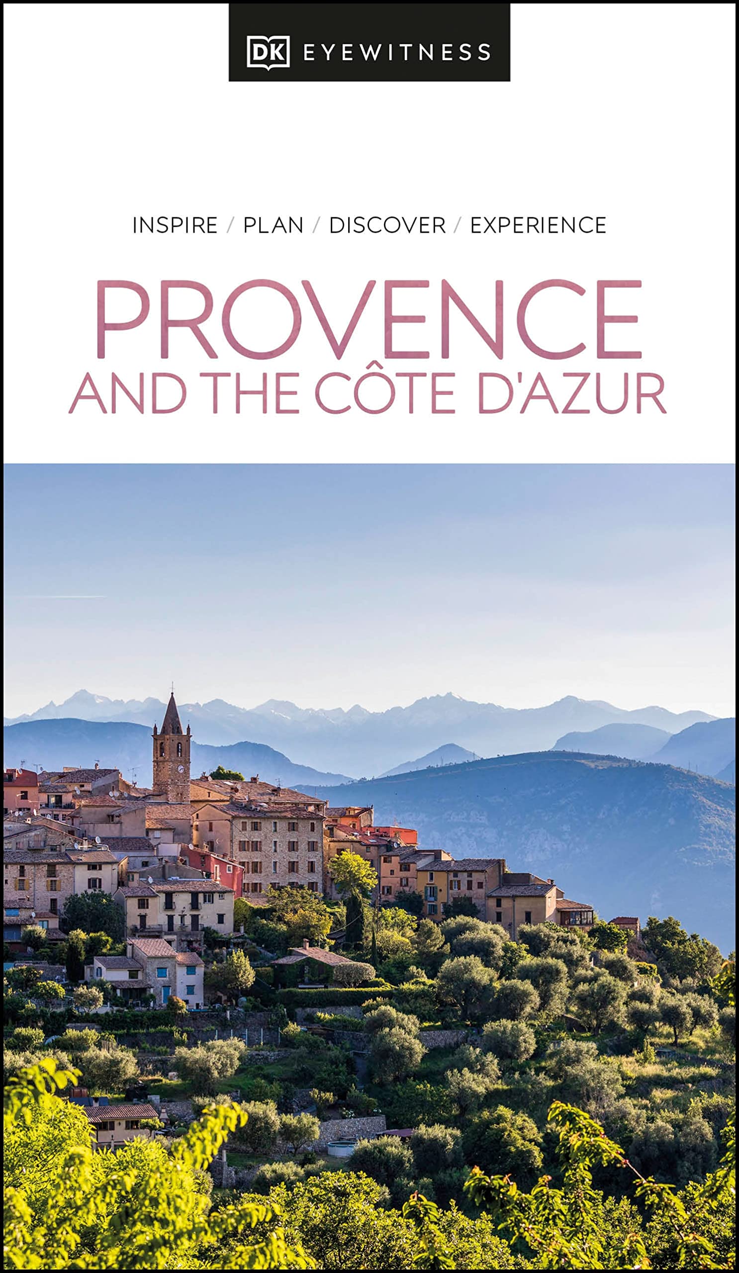
- DK Eyewitness Provence and the Cote d`Azur
- France`s most alluring region promises fragrant fields of lavender, incredible ancient relics and celebrated art collections.Whether you want to watch flocks of flamingos strutting across the wild wetlands of the Camargue, visit lush vineyards in the Rhone valley or simply soak up the sun in St-Tropez, your DK Eyewitness travel guide makes sure... Leer más
- Also available from:
- De Zwerver, Netherlands
De Zwerver
Netherlands
2022
Netherlands
2022
- Reisgids Eyewitness Travel Provence and the Cote d'Azur | Dorling Kindersley
- France`s most alluring region promises fragrant fields of lavender, incredible ancient relics and celebrated art collections.Whether you want to watch flocks of flamingos strutting across the wild wetlands of the Camargue, visit lush vineyards in the Rhone valley or simply soak up the sun in St-Tropez, your DK Eyewitness travel guide makes sure... Leer más
Bol.com
Netherlands
Netherlands
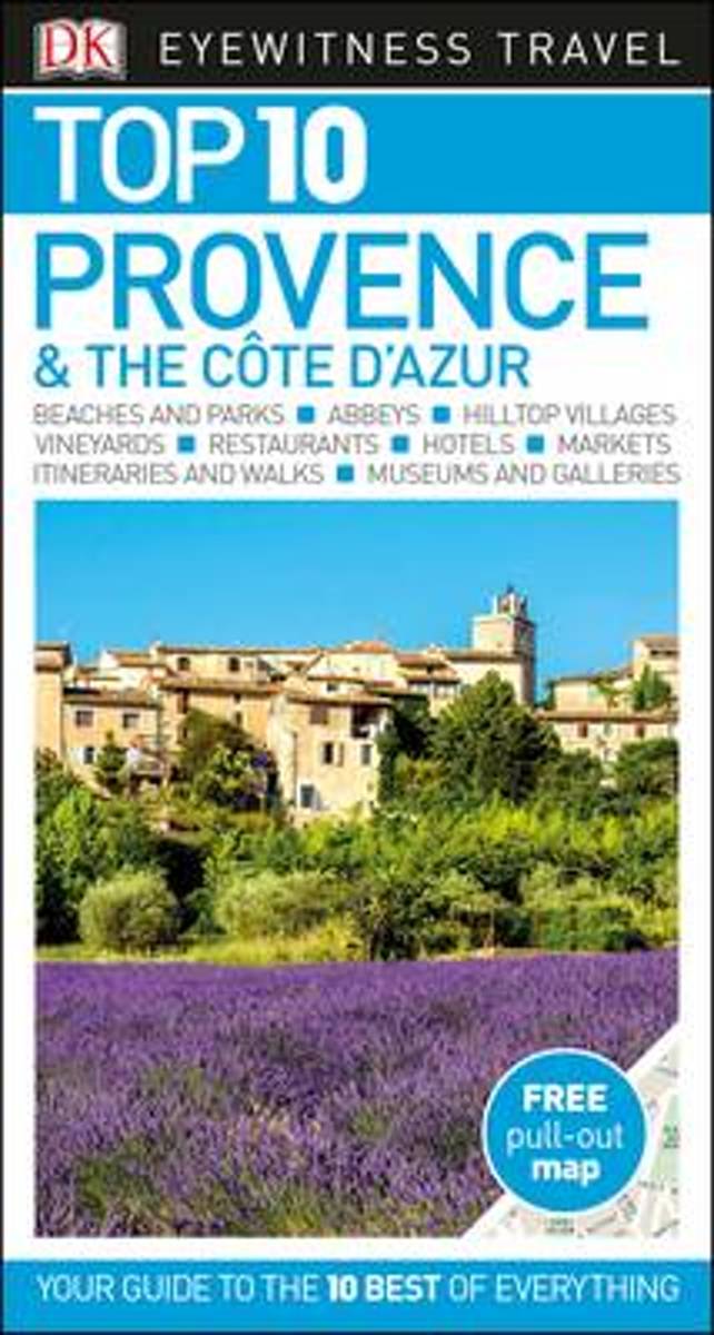
- Top 10 Provence and the Cote d'Azur
- An unbeatable, pocket-sized guide to Provence and the Cote d'Azur, packed with insider tips and ideas, colour maps, top 10 lists, and a laminated pull-out map - all designed to help you see the very best of Provence and the Cote d'Azur.Experience Riviera glamour in St Tropez, explore vast lagoons in the wild Camargue wetlands, wander historic... Leer más
- Also available from:
- Bol.com, Belgium
Bol.com
Belgium
Belgium
- Top 10 Provence and the Cote d'Azur
- An unbeatable, pocket-sized guide to Provence and the Cote d'Azur, packed with insider tips and ideas, colour maps, top 10 lists, and a laminated pull-out map - all designed to help you see the very best of Provence and the Cote d'Azur.Experience Riviera glamour in St Tropez, explore vast lagoons in the wild Camargue wetlands, wander historic... Leer más
Mapas

Stanfords
United Kingdom
United Kingdom
- Greoux-les-Bains - PNR du Verdon IGN 3343OT
- Topographic survey of France at 1:25,000 in IGN`s excellent TOP25 / Série Bleue series. All the maps are GPS compatible, with a 1km UTM grid plus latitude and longitude lines at 5’ intervals. Contours are at 5m intervals except for mountainous areas where the maps have contours at 10m intervals, vividly enhanced by hill shading and graphics for... Leer más
The Book Depository
United Kingdom
2022
United Kingdom
2022
- Also available from:
- De Zwerver, Netherlands
De Zwerver
Netherlands
2022
Netherlands
2022

- Also available from:
- De Zwerver, Netherlands
Más mapas…