GR30 - Volcans et lacs d'Auvergne
Descripción
- Name GR30 - Volcans et lacs d'Auvergne (GR30)
- Distancia de sendero 194 km, 121 millas
- Duración en días 10 días
- Inicio de sendero Aydat
- Fin de sendero Le Lot
- Clasificación Traildino MW, Caminata moderada, sendero de mochileros
- Clasificación Travesía de refugios T1, Caminata

Volcans d'Auvergne, round tour south of Clermont-Ferrand, 194 km
Part of the Auvergne is of volcanic origin, and although the volcanoes are stone dead, their characteristic appearance makes this region a very fine place for hiking. The GR30 is making a round tour south of Clermont-Ferrand. The trail connects the best mountains of the region, the Puy de Dôme (1464 m), Plomb du Cantal (1855 m) and Puy de Sancy (1885 m). In addition the rural countryside preserves its traditional appearance, as well as some old villages.
More trails cross this region: the GR4 and GR400.
Select some tracks
☐Tour des volcans et lacs d'Auvergne, 201km
Mapa

Enlaces
Datos
Informes
Guías y mapas
Hospedaje
Organizaciones
Operadores turísticos
GPS
Otro
Libros

Stanfords
United Kingdom
2018
United Kingdom
2018
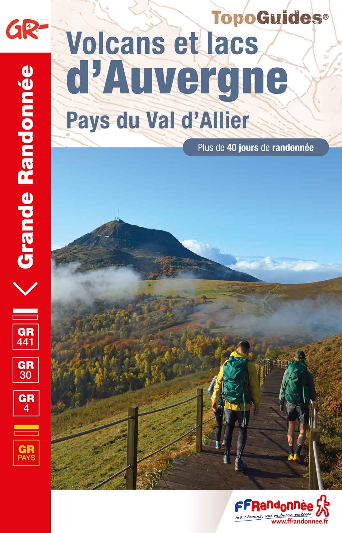
- Volcans et lacs d`Auvergne - Pays du Val d`Allier GR30/GR41
- Volcans et lacs d`Auvergne, FFRP topoguide Ref. no. 305, covering in all 886km of hiking trails across the volcanic landscape of the Auvergne west and south of Clermont-Ferrand, including sections of GR 30 and GR41. Current edition of this title was published in June 2014.ABOUT THE FFRP (Fédération française de la randonnée pédestre)... Leer más

- Also available from:
- De Zwerver, Netherlands