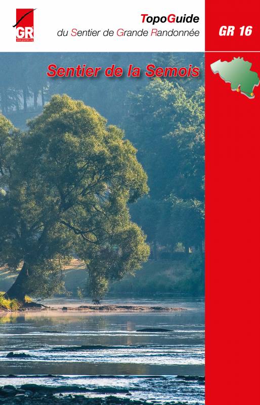
GR16 - Sentier de la Semois
Descripción
- Name GR16 - Sentier de la Semois (GR16)
- Distancia de sendero 205 km, 127 millas
- Duración en días 10 días
- Inicio de sendero Arlon (B)
- Fin de sendero Montherme (F)
- Clasificación Traildino EW, Paseo fácil, sendero en la naturaleza


16
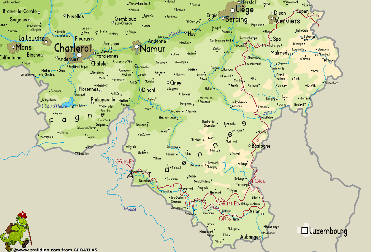
GR16, Sentier de la Semois, Arlon - Montherme, 205 km
The Semois or Semoy is a river meandering its way through the Ardennes, in the south of Belgium, near the French border. Its source is somewhere near Luxembourg. It's mouth in the river Meuse, in France. The trail follows the river through an attractive landscape, starting with light rolling fields to the higher hills and forests of the Ardennes. In France the trail connects to the GR12.
Mapa
Enlaces
Datos
Informes
Guías y mapas
Hospedaje
Organizaciones
Operadores turísticos
GPS
Otro
Libros
Más libros…


