
Ile-de-France
Descripción

Ile-de-France is the region around Paris. Many long distance trails explore the region. It is possible to do a round of Paris, using the GR1 or GR11.
Mapa

Senderos en región
- E3GPX
- E5GPX
- GR1 - Tour de ParisGPX
- GR11 - Grand Tour de ParisGPX
- GR111 - Sentier de l’EssonneGPX
- GR12 - Amsterdam - ParisGPX
- GR126 (France)GPX
- GR13 - Traversée du MorvanGPX
- GR14 - Sentier de l'ArdenneGPX
- GR14a - Vallée de la MarneGPX
- GR2 - Vallée de la SeineGPX
- GR22 - Sentier du Mont Saint-MichelGPX
- GR26GPX
- GR32GPX
- GR655 - Via TuronensisGPX
Enlaces
Datos
Informes
Guías y mapas
Hospedaje
Organizaciones
Operadores turísticos
GPS
Otro
Libros

Stanfords
United Kingdom
2015
United Kingdom
2015
- GR2: La Seine à pied en Ile de France FFRP Topo-guide No. 203
- More than 10 days of hiking following the course of the Seine between Montereau (77) and Vernon (27).La Seine à pied en Ile de France, FFRP topoguide Ref. no. 203, covering a 262kms route along the GR2 from Monterau-Fault-Yonne to Vernon following the Seine, including in the suburbs of Paris and across the capital, with variants on both sides... Leer más

Stanfords
United Kingdom
United Kingdom
- Vignemale - Valle de Bujaruelo Editorial Alpina
- Cross-border area of the Pyrenees at 1:25,000 on a contoured and GPS compatible map covering on the Spanish side the valleys of Bujaruelo and Ara with the western section of the Ordesa National Park and the Ordesa Valley, and within France extending from the Vignemale Massif to Gavarnie, plus a Spanish/French booklet with recommendations for... Leer más
- Also available from:
- The Book Depository, United Kingdom
- De Zwerver, Netherlands

The Book Depository
United Kingdom
United Kingdom
- Vignemale - Valle de Bujaruelo
- Cross-border area of the Pyrenees at 1:25,000 on a contoured and GPS compatible map covering on the Spanish side the valleys of Bujaruelo and Ara with the western section of the Ordesa National Park and the Ordesa Valley, and within France extending from the Vignemale Massif to Gavarnie, plus a Spanish/French booklet with recommendations for... Leer más

De Zwerver
Netherlands
Netherlands
- Wandelkaart 06 Vignemale - Valle de Bujaruelo | Editorial Alpina
- Cross-border area of the Pyrenees at 1:25,000 on a contoured and GPS compatible map covering on the Spanish side the valleys of Bujaruelo and Ara with the western section of the Ordesa National Park and the Ordesa Valley, and within France extending from the Vignemale Massif to Gavarnie, plus a Spanish/French booklet with recommendations for... Leer más

Stanfords
United Kingdom
United Kingdom
- Macizo de Monte Perdido - Valle de Ordesa - Pineta Editorial Alpina
- Ordesa and Monte Perdido National Park at 1:25,000 in a set of two GPS compatible recreational maps in an extensive and very popular series from Editorial Alpina, providing more detailed coverage of this popular hiking area.Contours are at 10m intervals, with relief shading and vegetation colouring. An overprint highlights waymarked PR hiking... Leer más
- Also available from:
- The Book Depository, United Kingdom

The Book Depository
United Kingdom
United Kingdom
- Monte Perdido Macizo de / Valle de Ordesa / Pineta
- Ordesa and Monte Perdido National Park at 1:25,000 in a set of two GPS compatible recreational maps in an extensive and very popular series from Editorial Alpina, providing more detailed coverage of this popular hiking area.Contours are at 10m intervals, with relief shading and vegetation colouring. An overprint highlights waymarked PR hiking... Leer más

- Also available from:
- De Zwerver, Netherlands


Stanfords
United Kingdom
2015
United Kingdom
2015
- Spain`s Sendero Historico: The GR1: Northern Spain - Picos to the Mediterranean
- The Sendero Historico (the GR1) is a 1,250km long-distance path that takes you from Puerto de Tarna, on the border of Asturias and Castilla y León, east along the southern flank of the Cantabrian Mountains and the foothills of the Pyrenees before finishing on the Mediterranean coast near L`Escala.This walking guide splits the route that... Leer más
- Also available from:
- The Book Depository, United Kingdom
- De Zwerver, Netherlands

The Book Depository
United Kingdom
2015
United Kingdom
2015
- Spain's Sendero Historico: The GR1
- Northern Spain - Picos to the Mediterranean Leer más

De Zwerver
Netherlands
2015
Netherlands
2015
- Wandelgids Spain's Sendero Historico: the GR1 | Cicerone
- Guidebook to the 1250km of Spain's Sendero Historico (GR1), traversing northern Spain from Puerto de Tarna in the province of Leon in the west to the Mediterranean near L'Escala in Catalonia, through fascinating, varied landscapes and the foothills of the Pyrenees. Described in 53 stages, about 25km each in length, with detailed mapping. Leer más

Stanfords
United Kingdom
2019
United Kingdom
2019
- The Pyrenean Haute Route
- There are three main trekking routes across the Pyrenees from coast to coast: of these, the Pyrenean Haute Route (or HRP for Haute Route Pyreneenne) is the most challenging - and arguably, the most spectacular. Unlike the GR10 and GR11, it is not waymarked and borders on mountaineering at times, sticking as closely as possible to the main... Leer más
- Also available from:
- The Book Depository, United Kingdom
- De Zwerver, Netherlands


De Zwerver
Netherlands
2022
Netherlands
2022
- Wandelgids Pyrenean Haute Route - a high level trail, Pyreneeën HRP | Cicerone
- Guidebook to trekking the Pyrenean Haute Route, which zigzags across the Franco-Spanish border, staying close to the main ridge in the highest and most spectacular central Pyrenees. It covers 750km with over 40km of ascent, so is suitable for experienced mountain walkers only. The largely unwaymarked route is presented in 45 stages. Leer más

The Book Depository
United Kingdom
2019
United Kingdom
2019
- Shorter Treks in the Pyrenees
- 7 great one and two week circular treks Leer más
- Also available from:
- De Zwerver, Netherlands

De Zwerver
Netherlands
2019
Netherlands
2019
- Wandelgids Shorter Treks in the Pyrenees | Cicerone
- Guidebook detailing seven circular treks of 4-12 days in the beautiful Pyrenees. The varied routes cover both sides of the French-Spanish border and include both the High Pyrenees and the lower, more gentle mountains of the Basque Country and Catalonia. Variants are suggested for those wishing to shorten or extend the treks. Leer más
Stanfords
United Kingdom
United Kingdom
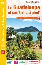
- La Guadeloupe et ses îles à pied
- La Guadeloupe et ses îles à pied, FFRP topo-guide Ref. No. D971, with 49 day walks of varying length and difficulty, plus coverage of the 65km-long GR1 across the mountains of the Basse Terre. The day walks include two on Marie-Galante, one on La Désirade, and two on Les Saintes islands. Each walk is presented on a separate colour extract from... Leer más
- Also available from:
- The Book Depository, United Kingdom

The Book Depository
United Kingdom
United Kingdom
- Guadeloupe & ses iles a pied
- La Guadeloupe et ses îles à pied, FFRP topo-guide Ref. No. D971, with 49 day walks of varying length and difficulty, plus coverage of the 65km-long GR1 across the mountains of the Basse Terre. The day walks include two on Marie-Galante, one on La Désirade, and two on Les Saintes islands. Each walk is presented on a separate colour extract from... Leer más

Stanfords
United Kingdom
2011
United Kingdom
2011
- Alps Trekking
- An inspirational walking guide to 20 summer treks in the European Alps in Italy, Austria, Switzerland, France and Slovenia, by 8 Alpine trekking experts, including the classics such as the Tour of Mont Blanc and lesser-known routes like the Traverse of the Slovenian Alps. All the rich scenic diversity for which the Alps are renowned is... Leer más
- Also available from:
- The Book Depository, United Kingdom
- Bol.com, Netherlands
- Bol.com, Belgium
- De Zwerver, Netherlands

The Book Depository
United Kingdom
2011
United Kingdom
2011
- Trekking in the Alps
- An inspirational guidebook to 20 classic treks in the Alps. As well as introducing new hiking areas in the Alps, classics such as the Tour of Mont Blanc, and Chamonix to Zermatt are included. Trekking in the Alps is immensely satisfying, and this book celebrates the rich and scenic diversity for which this great mountain range is renowned. Leer más

Bol.com
Netherlands
2011
Netherlands
2011
- Trekking in the Alps
- An inspirational guide to the delights of Alpine multi-day hikes. With 20 hikes described, including classics such as the Tour of Mont Blanc and the Tour of the Vanoise as well as new multi-day routes like the Traverse of the Slovenian Alps, this guide celebrates the rich scenic diversity for which the Alps are renowned.The eight talented... Leer más
Bol.com
Belgium
2011
Belgium
2011
- Trekking in the Alps
- An inspirational guide to the delights of Alpine multi-day hikes. With 20 hikes described, including classics such as the Tour of Mont Blanc and the Tour of the Vanoise as well as new multi-day routes like the Traverse of the Slovenian Alps, this guide celebrates the rich scenic diversity for which the Alps are renowned.The eight talented... Leer más

De Zwerver
Netherlands
2019
Netherlands
2019
- Wandelgids Trekking in the Alps | Cicerone
- An inspirational guidebook to 20 classic treks in the Alps. As well as introducing new hiking areas in the Alps, classics such as the Tour of Mont Blanc, and Chamonix to Zermatt are included. Trekking in the Alps is immensely satisfying, and this book celebrates the rich and scenic diversity for which this great mountain range is renowned. Leer más
Bol.com
Netherlands
Netherlands
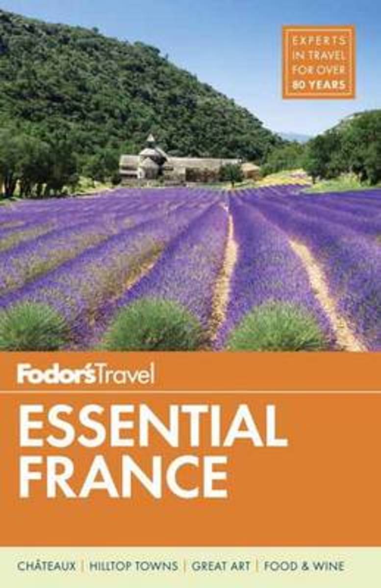
- Fodor's Essential France
- Written by locals, Fodor's travel guides have been offering expert advice for all tastes and budgets for 80 years. Unforgettable artwork, heavenly villages, and dream cities--there are so many reasons to visit France that deciding where to go and what to do can be a bit overwhelming. Fodor's Essential France takes the guesswork out of choosing... Leer más
- Also available from:
- Bol.com, Belgium
Bol.com
Belgium
Belgium
- Fodor's Essential France
- Written by locals, Fodor's travel guides have been offering expert advice for all tastes and budgets for 80 years. Unforgettable artwork, heavenly villages, and dream cities--there are so many reasons to visit France that deciding where to go and what to do can be a bit overwhelming. Fodor's Essential France takes the guesswork out of choosing... Leer más

Stanfords
United Kingdom
2020
United Kingdom
2020
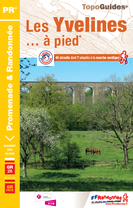
- Les Yvelines à pied D078
- Les Yvelines à pied, FFRP topo-guide Ref. No. D078, with 43 day walks of varying length and difficulty in the department of Les Yvelines. The guide, which also includes two GR de Pays routes totaling 150 kms, covers an area west and south-west of Paris with Versailles, Saint-Germain-en-Laye and the forest of Rambouillet. Each walk is presented... Leer más
- Also available from:
- De Zwerver, Netherlands
De Zwerver
Netherlands
2024
Netherlands
2024

Stanfords
United Kingdom
2012
United Kingdom
2012
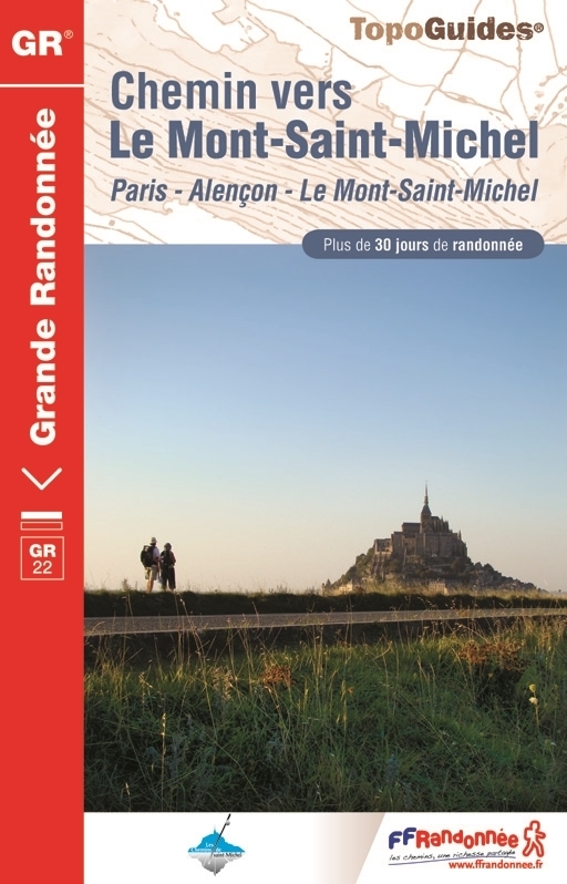
- GR22: Chemin vers le Mont-Saint-Michel, Paris - Alençon - Mont St Michel FFRP Topo-guide No. 220
- Chemin vers le Mont-Saint-Michel: Paris - Alençon - Mont St Michel, FFRP topo-guide Ref. no. 220 covering a 549-km route along the GR22 starting at the Notre Dame Cathedral, with an alternative variant through Argentan. The guide is one of the titles from an extensive series of light, high quality, A5 paperback guides to the Sentiers de Grande... Leer más
- Also available from:
- De Zwerver, Netherlands
De Zwerver
Netherlands
2012
Netherlands
2012
- Wandelgids 220 Chemin vers le Mont-Saint-Michel GR22 | FFRP
- Uitstekende routegids met gedetailleerde kaarten en een routebeschrijving. Fout lopen wordt op deze manier wel erg moeilijk. Met symbolen is weergegeven welke voorzieningen (openbaar vervoer / winkels / overnachtingen) er zijn langs of bij de route. Een nadeel is dat de daadwerkelijke adressen dan weer niet altijd genoemd worden. Alle gidsen... Leer más
Bol.com
Netherlands
Netherlands
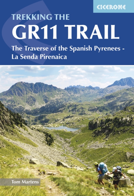
- Through The Spanish Pyrenees
- Walking the GR11 (La Senda) trek, as described in this guidebook, takes you through Spain's Pyrenees from the Atlantic at Iruns to the Mediterranean at Calaques, and is one of the world's great trekking routes. The Spanish Pyrenees present a wonderland to the holidaymaker, whether backpacker, botanist, canoeist, cyclist, entomologist,... Leer más
- Also available from:
- Bol.com, Belgium
Bol.com
Belgium
Belgium
- Through The Spanish Pyrenees
- Walking the GR11 (La Senda) trek, as described in this guidebook, takes you through Spain's Pyrenees from the Atlantic at Iruns to the Mediterranean at Calaques, and is one of the world's great trekking routes. The Spanish Pyrenees present a wonderland to the holidaymaker, whether backpacker, botanist, canoeist, cyclist, entomologist,... Leer más
Más libros…

Mapas
Stanfords
United Kingdom
United Kingdom
- Ordesa - Monte Perdido National Park Editorial Alpina 2-Map Set
- Ordesa and Monte Perdido National Park at 1:25,000 in a set of two GPS compatible recreational maps in an extensive and very popular series from Editorial Alpina, providing more detailed coverage of this popular hiking area.Contours are at 10m intervals, with relief shading and vegetation colouring. An overprint highlights waymarked PR hiking... Leer más

Stanfords
United Kingdom
United Kingdom
- Terres de l`Ebre
- Terres de l`Ebre map at 1:100,000 in the topographic survey of Catalonia published by the Institut Cartogràfic de Catalunya, with very detailed coverage of a large area and an excellent representation of the region’s topography. Maps in this series have relief presented by contours at 40m intervals, enhanced by additional hill-shading and spot... Leer más
Stanfords
United Kingdom
United Kingdom
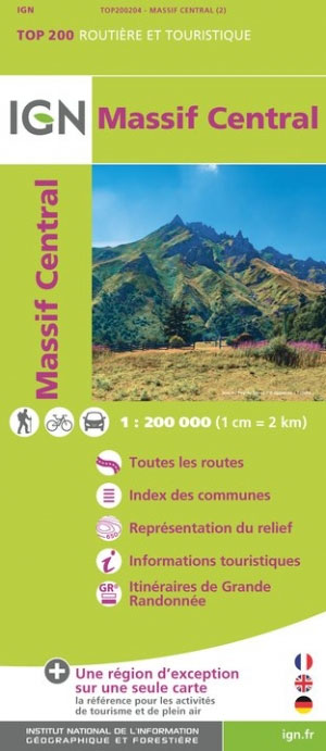
- Massif Central IGN Top200 204
- Pyrénées Ouest map from the IGN at 1:200,000, with excellent presentation of the terrain through contours and vivid relief shading, plenty of names of topographic features, long-distance GR hiking routes, places of interest, etc. The map is designed to provide convenient coverage of the western and central part of the Pyrenees, extending across... Leer más

Stanfords
United Kingdom
United Kingdom
- La Senda de Camille Editorial Alpina
- La Senda de Camille, the Pyrenean Bear Trail, a 104-km circuit in the central Pyrenees, on a contoured GPS compatible map at 1:25,000 from Editorial Alpina, plus a booklet providing information on mountain refuges. The route, which crosses over from the Spanish side to the Parc National des Pyrénées in France and incorporates part of the... Leer más
Stanfords
United Kingdom
United Kingdom
- Pla de Lleida
- Pla de Lleida map at 1:100,000 in the topographic survey of Catalonia published by the Institut Cartogràfic de Catalunya, with very detailed coverage of a large area and an excellent representation of the region’s topography. Maps in this series have relief presented by contours at 40m intervals, enhanced by additional hill-shading and spot... Leer más

Stanfords
United Kingdom
United Kingdom
- Transrhodopi - Long distance hiking and biking trail From Trigrad to Ivaylovgrad
- Western Rhodope Mountains at 1:100,000 on a contoured GPS compatible map from Domino extending from just west of the Pirin National Park to Asenovgrad in the north-east. The map is double-sided with a good overlap between the sides. Topography is shown by contours at 50m intervals with relief shading and spot heights, plus colouring for... Leer más
Stanfords
United Kingdom
United Kingdom
- Pirineu Occidental
- Pirineu Occidental, the western part of the Catalan Pyrenees, at 1:100,000 in the topographic survey of Catalonia published by the Institut Cartogràfic de Catalunya, with very detailed coverage of a large area and an excellent representation of the region’s topography.Maps in this series have relief presented by contours at 40m intervals,... Leer más

Stanfords
United Kingdom
United Kingdom
- Pirineu Oriental - Girona - Costa Brava
- Pirineu Oriental - Girona - Costa Brava map, covering the eastern part of the Catalan Pyrenees and the coast southwards to Pineda de Mar at 1:100,000 in the topographic survey of Catalonia published by the Institut Cartogràfic de Catalunya, with very detailed coverage of a large area and an excellent representation of the region’s topography.... Leer más

Stanfords
United Kingdom
United Kingdom
- E3 Arquipelago de Madeira
- Plans included:Porto Santo (1:25 000)Porto de Recreio da Calheta (1:6250)Funchal (1:10 000)Água de Pena (1:5000)Porto de Machico (1:7500)Quinta do Lorde (1:5000)Ponta de São Lourenço (1:30 000)Enseada da Doca (Isla Deserta Grande) (1:25 000)Selvagem Grande (1:30 000)Selvagem Pequena (1:30 000)On this edition the chart specification has been... Leer más
Stanfords
United Kingdom
United Kingdom
- Camp de Tarragona
- Camp de Tarragona map at 1:100,000 in the topographic survey of Catalonia published by the Institut Cartogràfic de Catalunya, with very detailed coverage of a large area and an excellent representation of the region’s topography. Maps in this series have relief presented by contours at 40m intervals, enhanced by additional hill-shading and spot... Leer más

Stanfords
United Kingdom
United Kingdom
- Bregenz F&B
- Indexed street plan of Bregenz extending north along the Bodensee coast to Lochau and Unter Hochsteg. Detail includes pedestrianised areas, railways, bus routes and cycle paths. Notable buildings are highlighted in red, and symbols indicate post offices, hostels, campsites and car parks.On the reverse is a 1:50,000 contoured map of the... Leer más


Stanfords
United Kingdom
United Kingdom
- Ile-de-France Ign Regional NR03
- IGN publishes its new collection of regional maps including the official division of the 13 new regions. The largest regions are well represented on a single map. These maps are double sided and in 6 languages. Leer más

Stanfords
United Kingdom
United Kingdom
- Barcelona and Environs ICGC 100K 5
- Barcelona and Environs map at 1:100,000 in the topographic survey of Catalonia published by the Institut Cartogràfic de Catalunya, with very detailed coverage of a large area and an excellent representation of the region’s topography. Maps in this series have relief presented by contours at 40m intervals, enhanced by additional hill-shading and... Leer más
Stanfords
United Kingdom
United Kingdom
- Comarques Centrales
- Comarques Centrales, the foothills of the Catalan Pyrenees including Ripoll, Olot, Berga, Vic, Solsona, etc, at 1:100,000 in the topographic survey of Catalonia published by the Institut Cartogràfic de Catalunya, with very detailed coverage of a large area and an excellent representation of the region’s topography.Maps in this series have... Leer más