GR68 - Tour du Mont Lozère
Descripción
- Name GR68 - Tour du Mont Lozère (GR68)
- Distancia de sendero 118 km, 73 millas
- Duración en días 6 días
- Inicio de sendero Villefort
- Fin de sendero Villefort
- Clasificación Traildino MW, Caminata moderada, sendero de mochileros
- Clasificación Travesía de refugios T1, Caminata


68
 Round trip starting in Villefort, 118 km
Mont Lozère is the highest summit in the Cévennes, 1.699 m. The GR68 takes you around this mountain in about a week.
Mapa

Enlaces
Datos
Informes
Guías y mapas
Hospedaje
Organizaciones
Operadores turísticos
GPS
Otro
Libros

Stanfords
United Kingdom
2021
United Kingdom
2021
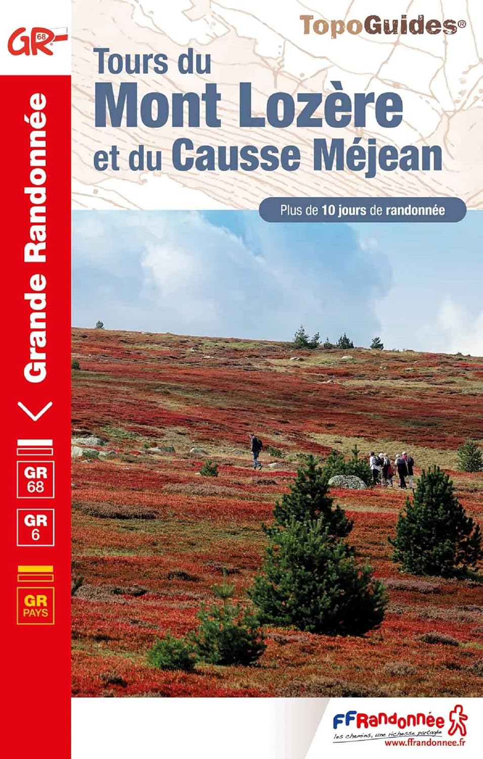
- Tour du Mont-Lozere et du Causse Méjean GR6/GR68
- Tours du Mont-Lozère et du Causse Méjean, FFRP topo-guide Ref. No. 631, with the two circular tours, a 117-km Tour du Mont Lozère and a 111-km Tour du Causse Méjean, plus additional trails along the GR7 and GR70.ABOUT THE FFRP (Fédération française de la randonnée pédestre) TOPOGUIDES: published in a handy A5 paperback format, the guides are... Leer más
- Also available from:
- The Book Depository, United Kingdom

Más libros…