
Salzburg
Descripción
Bundesland around the city of Salzburg, central Austria. Here you will find some of the heighest and wildest mountain regions of the country.
Senderos en estado
Enlaces
Datos
Informes
Guías y mapas
Hospedaje
Organizaciones
Operadores turísticos
GPS
Otro
Libros

Stanfords
United Kingdom
United Kingdom
- Rick Steves Best of Germany (Third Edition): With Salzburg
- Hit Germany`s can`t-miss art, sights, and bites in two weeks or less with Rick Steves Best of Germany! Inside you`ll find:*Strategic advice from Rick Steves on what`s worth your time and money*Short itineraries covering Munich, Bavaria, Rothenburg and the Romantic Road, the Rhine Valley, and Berlin, plus Salzburg, Austria*Rick`s tips for... Leer más

Stanfords
United Kingdom
United Kingdom
- Frommer`s Vienna Day by Day
- Vienna, Austria is so rich with cultural treasures, so replete with sights and wonders, that visitors are often bewildered by the task of planning a visit. Which of nearly 100 museums to visit? Which of countless theatres and concert halls? With an endless number of celebrated restaurants, cafes, lively taverns, bakeries serving famous... Leer más

Stanfords
United Kingdom
United Kingdom
- Rick Steves Pocket Munich & Salzburg (Second Edition)
- Make the most of every day and every dollar with Rick Steves! This colorful, compact guidebook is perfect for spending a week or less in Munich and Salzburg: City walks and tours: Five detailed self-guided walks including a Munich city walk, Nymphenburg Palace tour, Sound of Music tour, and more Rick`s strategic advice on what`s worth your time... Leer más

Stanfords
United Kingdom
United Kingdom
- St. Johann im Pongau - Salzburger Land Kompass 80
- Salzburger Alps area south of Salzburg itself, including St. Johann in Pongau, Pongau and Bad Gastein, on a detailed, GPS compatible map at 1:50,000 from Kompass with local and long-distance footpaths, cycling routes, accommodation, etc.KOMPASS HIKING & RECREATIONAL MAPS: this title is part of an extensive series covering Austria, much of... Leer más

Stanfords
United Kingdom
United Kingdom
- Wolfgangsee - Fuschlsee - Mondsee Kompass 018
- Wolfgangsee - Fuschlsee - Mondsee, the lakes of the Salzkammergut area east of Salzburg, on a detailed, GPS compatible map at 1:25,000 from Kompass with local and long-distance footpaths, cycling routes, accommodation, etc, printed on durable, waterproof and tear-resistant synthetic paper.KOMPASS HIKING & RECREATIONAL MAPS: this title is part... Leer más

Stanfords
United Kingdom
2020
United Kingdom
2020
- Walking in the Salzkammergut: the Austrian Lake District: 30 walks in Salzburg`s lakes and mountains, including the Dachstein
- Guidebook of 30 stunning day walks in the beautiful Salzkammergut lake district of Austria. Easy to get to from Linz and Salzburg, the area is studded with lakes and bristling with mountain peaks, and has a great range of waymarked trails, from lakeside strolls to challenging mountain walks. The routes in this book are within the capabilities... Leer más
- Also available from:
- The Book Depository, United Kingdom
- De Zwerver, Netherlands

The Book Depository
United Kingdom
2020
United Kingdom
2020
- Walking in the Salzkammergut: the Austrian Lake District
- 30 walks in Salzburg's lakes and mountains, including the Dachstein Leer más

De Zwerver
Netherlands
2020
Netherlands
2020
De Zwerver
Netherlands
2022
Netherlands
2022

Bol.com
Netherlands
Netherlands
- WF5421 Allgäu, Allgäuer Alpen Kompass
- De Kompass wandelgids + kaart geeft een overzicht van alle wandelroutes in het gebied met nauwkeurige routeaanwijzingen en hoogteaanduidingen, De extra grote kaart, schaal 1:35 000, is ideaal om van te voren uw route uit te stippelen en om onderweg te gebruiken • naast de bekende bestemmingen, worden ook de minder bekende vermeld • openbaar... Leer más
- Also available from:
- Bol.com, Belgium
Bol.com
Belgium
Belgium
- WF5421 Allgäu, Allgäuer Alpen Kompass
- De Kompass wandelgids + kaart geeft een overzicht van alle wandelroutes in het gebied met nauwkeurige routeaanwijzingen en hoogteaanduidingen, De extra grote kaart, schaal 1:35 000, is ideaal om van te voren uw route uit te stippelen en om onderweg te gebruiken • naast de bekende bestemmingen, worden ook de minder bekende vermeld • openbaar... Leer más

Bol.com
Netherlands
Netherlands
- Wanderland Schweiz 02. Trans Swiss Trail
- Das Wanderland Schweiz besteht aus 6 nationalen Routen und 51 mehrtägigenHighlights. Die Routen basieren auf dem bestehenden Wanderwegnetz und integrierenteilweise bereits bestehende Angebote wie beispielsweise Via Alpina, Jura Höhenweg,Via Jacobi oder Rheintaler Höhenweg.Alle 9 Führer sind mit Farbfotos, Karten und Höhenprofilen farbig reich... Leer más
- Also available from:
- Bol.com, Belgium
Bol.com
Belgium
Belgium
- Wanderland Schweiz 02. Trans Swiss Trail
- Das Wanderland Schweiz besteht aus 6 nationalen Routen und 51 mehrtägigenHighlights. Die Routen basieren auf dem bestehenden Wanderwegnetz und integrierenteilweise bereits bestehende Angebote wie beispielsweise Via Alpina, Jura Höhenweg,Via Jacobi oder Rheintaler Höhenweg.Alle 9 Führer sind mit Farbfotos, Karten und Höhenprofilen farbig reich... Leer más
Bol.com
Netherlands
Netherlands
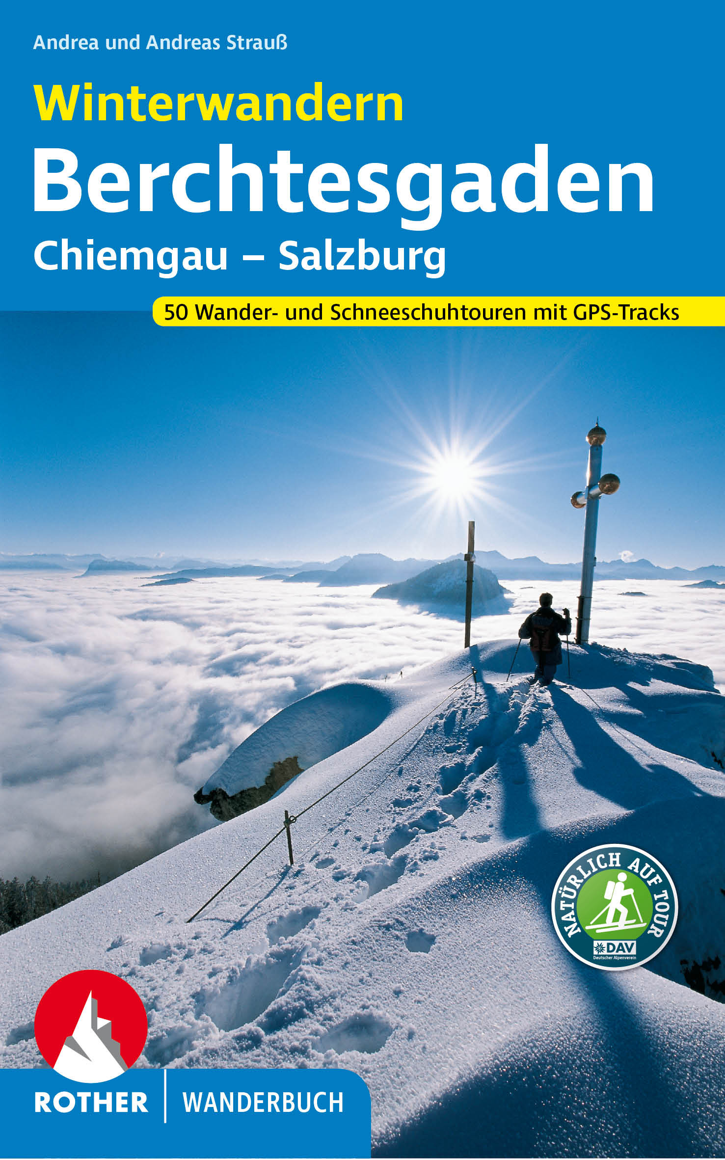
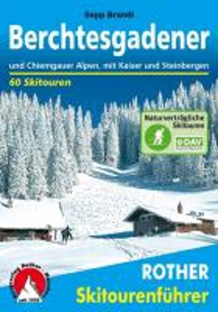
- Berchtesgadender und Chiemgauer Alpen
- Die Berge um das Dreil ndereck von Bayern, Salzburg und Tirol, bieten Skitouren f r jeden Geschmack: Hier locken die Chiemgauer und Dientner Berge mit reizvollem Almgl nde, w hrend das Kaisergebirge, die Loferer und Leoganger Steinberge sowie das Steinerne Meer die Skibergsteiger mit Fr hjahrsfirn unter grandioser Felskulisse bezaubern. In den... Leer más
- Also available from:
- Bol.com, Belgium
Bol.com
Belgium
Belgium
- Berchtesgadender und Chiemgauer Alpen
- Die Berge um das Dreil ndereck von Bayern, Salzburg und Tirol, bieten Skitouren f r jeden Geschmack: Hier locken die Chiemgauer und Dientner Berge mit reizvollem Almgl nde, w hrend das Kaisergebirge, die Loferer und Leoganger Steinberge sowie das Steinerne Meer die Skibergsteiger mit Fr hjahrsfirn unter grandioser Felskulisse bezaubern. In den... Leer más

Stanfords
United Kingdom
2010
United Kingdom
2010
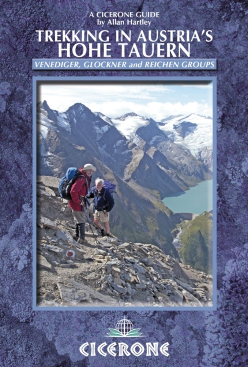
- Austria Hohe Tauern Trekking
- Trekking in Austria’s Hohe Tauern is Allan Hartley’s Cicerone guide to walks in the Venediger, Glockner and Reichen mountain groups. The book describes five longer distance routes; four separate multi-day treks and a ten day traverse of the region. Detailed introductory information and preparation tips are included, whilst the options in the... Leer más
- Also available from:
- The Book Depository, United Kingdom
- Bol.com, Netherlands
- Bol.com, Belgium

The Book Depository
United Kingdom
2010
United Kingdom
2010
- Trekking in Austria's Hohe Tauern
- Venediger, Glockner and Reichen Groups Leer más
Bol.com
Netherlands
2010
Netherlands
2010
- Trekking in Austria's Hohe Tauern
- Situated in the heart of Austria and the Eastern Alps, the Hohe Tauern National Park is the largest in Europe and a World Conservation Area, taking in the Tyrol, Salzburg and Karnten. The area boasts dramatic valleys headed by scores of peaks and hikers are well supported by some of the best huts in the Alps. The Park is centered on the Gross... Leer más
Bol.com
Belgium
2010
Belgium
2010
- Trekking in Austria's Hohe Tauern
- Situated in the heart of Austria and the Eastern Alps, the Hohe Tauern National Park is the largest in Europe and a World Conservation Area, taking in the Tyrol, Salzburg and Karnten. The area boasts dramatic valleys headed by scores of peaks and hikers are well supported by some of the best huts in the Alps. The Park is centered on the Gross... Leer más
De Zwerver
Netherlands
2021
Netherlands
2021
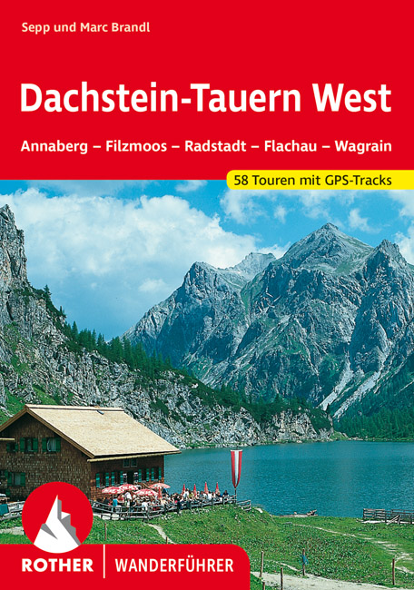
- Wandelgids Dachstein-Tauern West | Rother Bergverlag
- Uitstekende wandelgids met een groot aantal dagtochten in dal en hooggebergte. Met praktische informatie en beperkt kaartmateriaal! Wandelingen in verschillende zwaarte weergegeven in rood/blauw/zwart. Der Rother Wanderführer »Dachstein-Tauern West« ersetzt den bisherigen Wanderführer »Pongau«. Das neue Tourenprogramm wurde mit zusätzlichen... Leer más

De Zwerver
Netherlands
2023
Netherlands
2023
De Zwerver
Netherlands
2007
Netherlands
2007
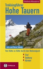
- Wandelgids Erlebnis Wandern! Trekking Hohe Tauern | Tyrolia
- Der Nationalpark Hohe Tauern bildet das größte Naturschutzgebiet Mitteleuropas. Er stellt Österreichs höchste Berggipfel, die einmalige Natur- sowie eine jahrhundertealte Kulturlandschaft unter besonderen Schutz. Die in diesem Buch erstmals vorgestellte, völlig neu konzipierte Trekkingtour eröffnet dem Wanderer die Möglichkeit, die... Leer más

Bol.com
Netherlands
Netherlands
- Also available from:
- Bol.com, Belgium
Mapas

Stanfords
United Kingdom
United Kingdom
- Gasteinertal - Wagrain - Raurisertal - Grossarltal F&B WK191
- Gasteiner Tal - Wagrain - Grossarltal - St. Johann im Pongau - Bad Hofgastein - Bad Gastein area of the Austrian Alps presented at 1:50,000 in a series of contoured and GPS compatible outdoor leisure map from Freytag & Berndt with hiking and cycling routes, mountain huts, campsites and youth hostels, local bus stops, plus other tourist... Leer más

Stanfords
United Kingdom
United Kingdom
- Styrian Winelands - Southwest Styria F&B WK411
- Styrian Winelands area south-eastern Austria presented at 1:50,000 in a series of contoured and GPS compatible outdoor leisure map from Freytag & Berndt with hiking and cycling routes, mountain huts, campsites and youth hostels, local bus stops, plus other tourist information. To see the list of currently available titles in this series please... Leer más

Stanfords
United Kingdom
United Kingdom
- Goms - Aletsch
- Goms - Aletsch area of the Bernese Oberland at 1:50,000 in a series from Hallwag covering Switzerland’s popular hiking regions on light, waterproof and tear-resistant maps highlighting long-distance paths: the nine national routes plus special regional routes, as well as other local hiking trails.Cartography is similar to that used both in... Leer más

Stanfords
United Kingdom
United Kingdom
- Zell am See - Kaprun - Saalbach F&B WK382
- Zell-am-See - Kaprun - Saalbach area of the Austrian Alps presented at 1:50,000 in a series of contoured and GPS compatible outdoor leisure map from Freytag & Berndt with hiking and cycling routes, mountain huts, campsites and youth hostels, local bus stops, plus other tourist information. To see the list of currently available titles in this... Leer más

Stanfords
United Kingdom
United Kingdom
- Mayrhofen - Zillertal Alps - Gerlos - Krimml - Tuxertal - Zell im Zillertal F&B WK152
- Mayrhofen - Zillertal Alps - Gerlos - Krimml - Tuxertal - Zell im Zillertal area of the Austrian Alps presented at 1:50,000 in a series of contoured and GPS compatible outdoor leisure map from Freytag & Berndt with hiking and cycling routes, mountain huts, campsites and youth hostels, local bus stops, plus other tourist information.To see the... Leer más

Stanfords
United Kingdom
United Kingdom
- Hohe Wand - Schneebergland - Gutenstein Alps - Piestingtal - Lilienfeld F&B WK012
- Hohe Wand - Piestingtal - Triestingtal - Gölsental - Gutensteier Alpen – Lilienfeld area south-west of Vienna presented at 1:50,000 in a series of contoured and GPS compatible outdoor leisure map from Freytag & Berndt with hiking and cycling routes, mountain huts, campsites and youth hostels, local bus stops, plus other tourist information.To... Leer más

Stanfords
United Kingdom
United Kingdom
- Mattsee - Wallersee - Irrsee - Fuschl - Mondsee - Oberndorf F&B WK391
- Mattsee - Wallersee - Irrsee - Fuschl - Mondsee - Oberndorf - Salzburg - Wolfgangsee area of the Austrian Alps presented at 1:50,000 in a series of contoured and GPS compatible outdoor leisure map from Freytag & Berndt with hiking and cycling routes, mountain huts, campsites and youth hostels, local bus stops, plus other tourist information. To... Leer más

Stanfords
United Kingdom
United Kingdom
- Attersee - Traunsee - Höllengebirge - Mondsee - Wolfgangsee F&B WK282
- Attersee - Traunsee - Höllengebirge - Mondsee - Wolfgangsee area of the Austrian Alps presented at 1:50,000 in a series of contoured and GPS compatible outdoor leisure map from Freytag & Berndt with hiking and cycling routes, mountain huts, campsites and youth hostels, local bus stops, plus other tourist information. To see the list of... Leer más

Stanfords
United Kingdom
United Kingdom
- Grossglockner - Sonnblick - Kaprun - Zell am See F&B WK120
- Grossglockner - Sonnblick - Kaprun - Zell am See area of the Austrian Alps presented at 1:50,000 in a series of contoured and GPS compatible outdoor leisure map from Freytag & Berndt with hiking and cycling routes, mountain huts, campsites and youth hostels, local bus stops, plus other tourist information.To see the list of currently available... Leer más

Stanfords
United Kingdom
United Kingdom
- Peloponnese Anavasi Road Atlas
- Road Atlas of the Peloponnese from Anavasi, in an A4 paperback format, with contoured, GPS compatible mapping at 1:50,000, very detailed road classification, hiking paths, and place names in both Greek and Latin alphabets.The main section of the atlas has 178 pages of detailed maps with contours at 100m intervals, altitude colouring and relief... Leer más

Stanfords
United Kingdom
United Kingdom
- Lake Maggiore - Lake Orta - Lake Varese K+F Outdoor Map 8
- Lake Maggiore - Lake Orta - Lake Varese area at 1:50,000 in a series of waterproof and tear-resistant, GPS compatible and contoured recreational maps from Kümmerly + Frey with both local and long-distance hiking and cycling trails, ski routes, sites for other outdoor pursuits, accommodation, bus stops, etc. An inset provides a small road map of... Leer más

Stanfords
United Kingdom
United Kingdom
- Taygetos - North Taygetos Anavasi 8.1
- The Taygetos range between Sparta and Kalamata at 1:50,000 on a contoured, GPS compatible map from Anavasi with on the reverse a special map highlighting the region’s numerous hiking trails, including the course of the E4 European long-distance path.On one side is the main map of the area with excellent presentation of its topography by... Leer más

Stanfords
United Kingdom
United Kingdom
- Greece: Attika and Central Greece Road Atlas
- Road Atlas of Attika, the region around Athens, and Central Greece from Anavasi, in an A4 paperback format, with contoured mapping at 1:50,000, a 2km UTM grid for GPS users, very detailed road classification, hiking paths, and place names in both Greek and Latin alphabets.The main section of the atlas has 219 pages of detailed maps with... Leer más

Stanfords
United Kingdom
United Kingdom
- Lake Como K+F Outdoor Map 9
- Lake Como area at 1:50,000 on a double-sided, waterproof and tear-resistant, GPS compatible and contoured recreational maps from Kümmerly + Frey with both local and long-distance hiking and cycling trails, ski routes, sites for other outdoor pursuits, accommodation, bus stops, etc. Coverage includes the northern part of Lake Lugano and extends... Leer más

Stanfords
United Kingdom
United Kingdom
- Ciclovia Alpe Adria Cycle Route - Salzburg to Grado Bikeline Cycling Guide ITALIAN
- The Alps to the Adriatic Route: Salzburg to Grado, a 410-km long cycle route across eastern Tyrol and Carinthia to Grado in north-eastern Italy near Trieste, an Italian - Austrian project of Ciclovia Alpe Adria – the CAAR. The route is presented by the Verlag Esterbauer in guide with maps at 1:50,000 . Extensive information is conveyed by... Leer más