
Everest - Khumbu
Descripción
Mapa

Senderos en región
Enlaces
Datos
Informes
Guías y mapas
Hospedaje
Organizaciones
Operadores turísticos
GPS
Otro
Libros


The Book Depository
United Kingdom
United Kingdom
- Concise Guide to the Everest Base Camp Trek
- How to Prepare, What to Take and What to Expect Leer más

The Book Depository
United Kingdom
United Kingdom
- The Girl Who Climbed Everest
- The Inspirational of Alyssa Azar, Australia's Youngest Adventurer Leer más
The Book Depository
United Kingdom
United Kingdom
- Trekking Everest Base Camp - The Day to Day Guide
- and what isn't in the guidebooks Leer más

The Book Depository
United Kingdom
United Kingdom
- The Girl Who Climbed Everest
- The Inspirational of Alyssa Azar, Australia's Youngest Adventurer Leer más


The Book Depository
United Kingdom
United Kingdom
- A Trekking Guide to Everest
- Everest Base Camp, Gokyo Lakes, Thame Valley, Three High Passes, Classic Everest, Arun Valley Leer más


The Book Depository
United Kingdom
United Kingdom
- The Girl Who Climbed Everest: The inspirational story of Alyssa Azar, Australia's Youngest Adventurer
- The Inspirational Story of Alyssa Azar, Australia's Youngest Adventurer Leer más


The Book Depository
United Kingdom
United Kingdom
- Doofus Dad Does Everest Base Camp
- One of Planet Earth's epic adventures told by a slightly-less-than-epic guy Leer más

Más libros…

Mapas

The Book Depository
United Kingdom
United Kingdom
- Everest: Trekking Map & Complete Guide
- Everest Trekking Guide from Milestone Books with very detailed and informative stage-by-stage descriptions of main Mt Everest trek from Lukla and Namche Bazaar to the Everest Base Camp, plus the route to the Gokyo Lakes. Each route is presented on coloured map extracts from the accompanying separate fold-out map, includes a route profile, and... Leer más
De Zwerver
Netherlands
Netherlands
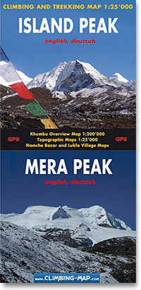
- Wandelkaart trekkingmap Island Peak - Mera Peak | Climbing-map
- Topographic climbing maps from Island & Mera Peak 1:25'000; village maps of Lukla and Namche Bazar, description of climbing routes, Khumbu general map 1:200'000; Panorama view, vegetation illustrations, climatic diagram, GPS information Leer más
De Zwerver
Netherlands
2023
Netherlands
2023
De Zwerver
Netherlands
Netherlands
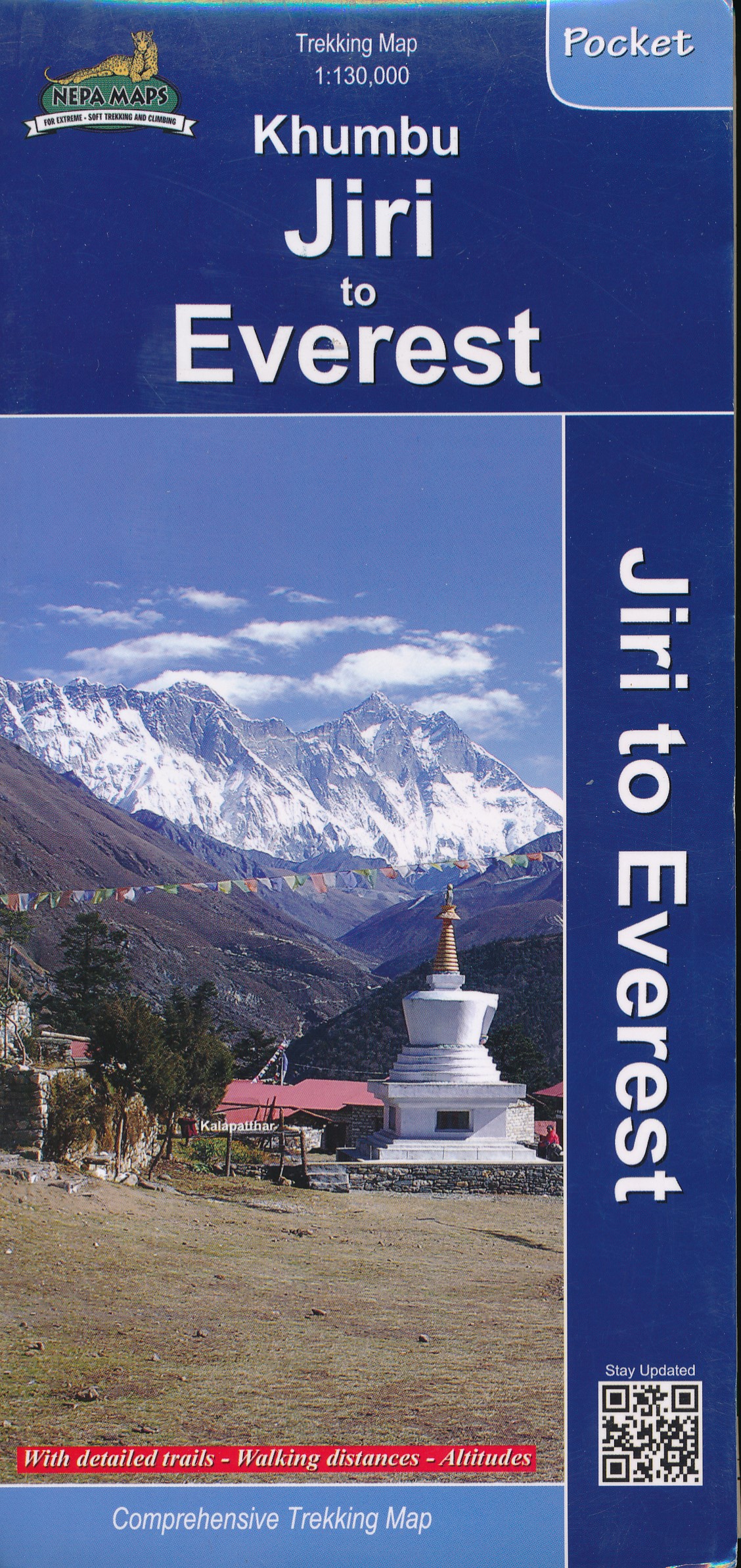
- Wandelkaart Khumbu - Jiri to Everest pocket map | Himalayan Maphouse
- Handige pocket map voor het hele gebied voor de Everest trek naar het Base Camp vanaf zowel Jiri als ook vanaf Phaplu of Lukla. Een beetje grove schaal, maar juist voor het overzicht een ideale kaart. Ook de trekkings in Rolwaling vind je hier op terug. Leer más
De Zwerver
Netherlands
Netherlands
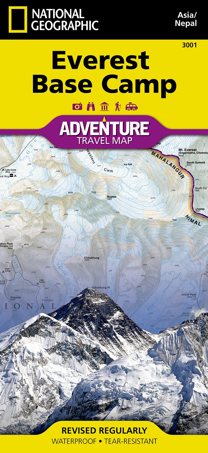
- Wandelkaart 3001 Adventure Map trekking map Everest Base Camp | National Geographic
- Everest Base Camp area at 1:50,000 approx. on indexed, light, waterproof and tear-resistant hiking map, with a plan of the Kathmandu/Patan area including an enlargement of the Thamel district, plus an overview map of the whole country.The map is part of a series covering Nepal Leer más
De Zwerver
Netherlands
2005
Netherlands
2005
- Wandelkaart Mount Everest | Swisstopo
- Prachtige zeer gedetailleerde klimkaart van de Mount Everest en andere toppen in de directe omgeving als Lhotse en Nuptse. Het basiskamp aan de Nepal-kant staat er nog net op. Op deze kaart staan alle routes ingetekend die als eerstbeklimming gelden, deze beklimmingen worden elders op de kaart nog eens nader gspecificeerd. Leer más
Bol.com
Netherlands
Netherlands
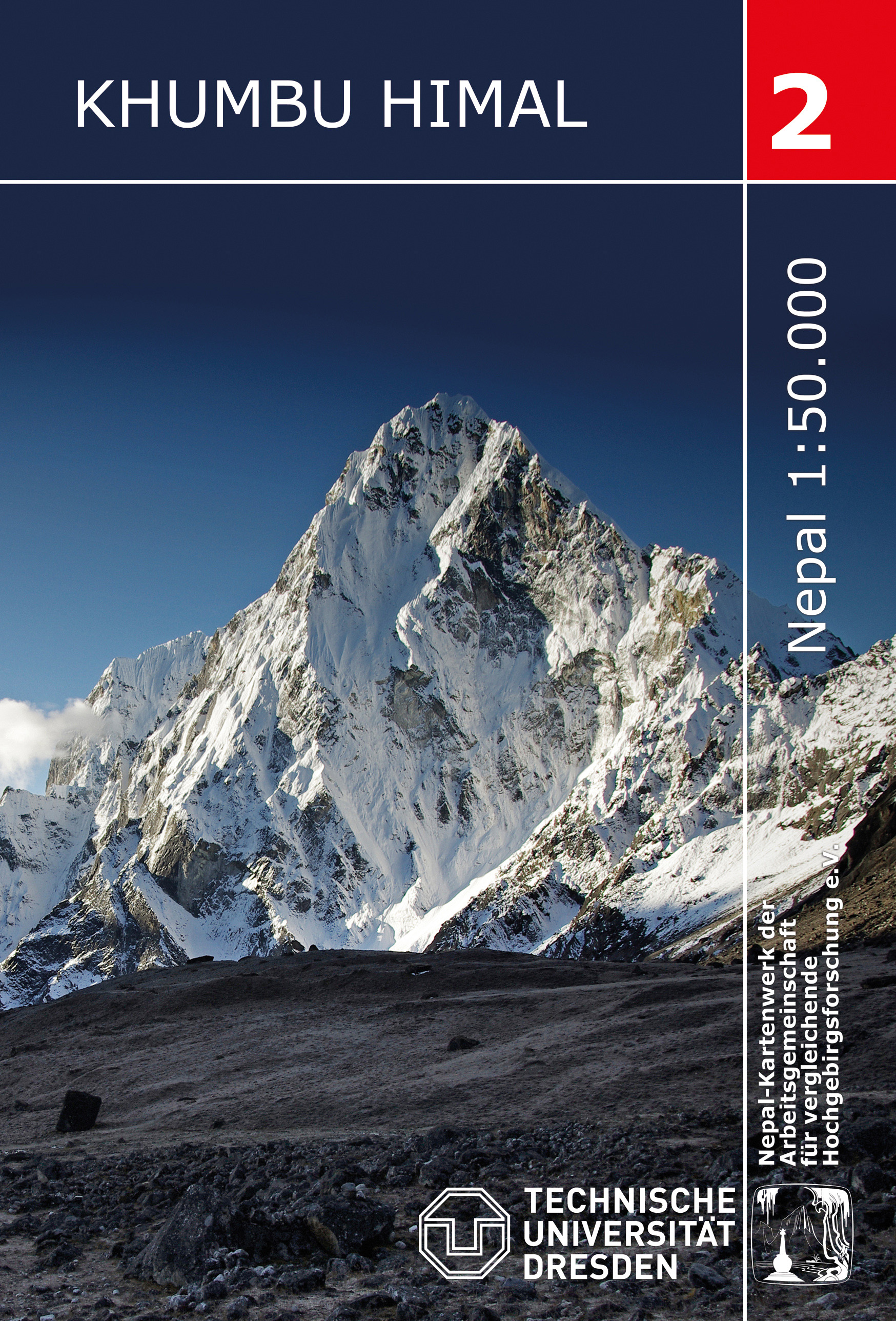
- Khumbu Himal Trekking-Karte 1 : 50 000
- Khumbu Himal area at 1:50,000 on a waterproof and tear-resistant map in the famous Schneider series, revised in 2013 to include extensive tourist information for trekking routes to the Mount Everest Base Camp, Gokyo Lakes, Island Peak, Makalu Base Camp, etc. Coverage extends north from Namche Bazaar and along the Tibetan border from the Lunag... Leer más
- Also available from:
- Bol.com, Belgium
Bol.com
Belgium
Belgium
- Khumbu Himal Trekking-Karte 1 : 50 000
- Khumbu Himal area at 1:50,000 on a waterproof and tear-resistant map in the famous Schneider series, revised in 2013 to include extensive tourist information for trekking routes to the Mount Everest Base Camp, Gokyo Lakes, Island Peak, Makalu Base Camp, etc. Coverage extends north from Namche Bazaar and along the Tibetan border from the Lunag... Leer más
De Zwerver
Netherlands
Netherlands
- Wandelkaart CL802 Mera Peak climbing map | Himalayan Maphouse
- Trekking route to the Mera peaks at 1:40,000 in the Nepa Maps series which provides extensive coverage of trekking areas of Nepal on detailed contoured maps with trekking routes and hiking trails, huts and camp sites, local places of interest and other tourist information.The map shows a section of the main Everest trek between Taksindu and... Leer más
De Zwerver
Netherlands
Netherlands
- Wandelkaart 05 Nepal Shorong - Hinku | Nepal Kartenwerk
- Shorong - Hinku region of Nepal at 1:50,000 on a waterproof and tear-resistant map in the famous Schneider series, revised in 2013 to include extensive tourist information for trekking routes in the area directly south of the Sagarmatha National Park. Centered on Lukla, coverage extends north to Namche Bazaar and south just beyond Kharikhola... Leer más
De Zwerver
Netherlands
Netherlands
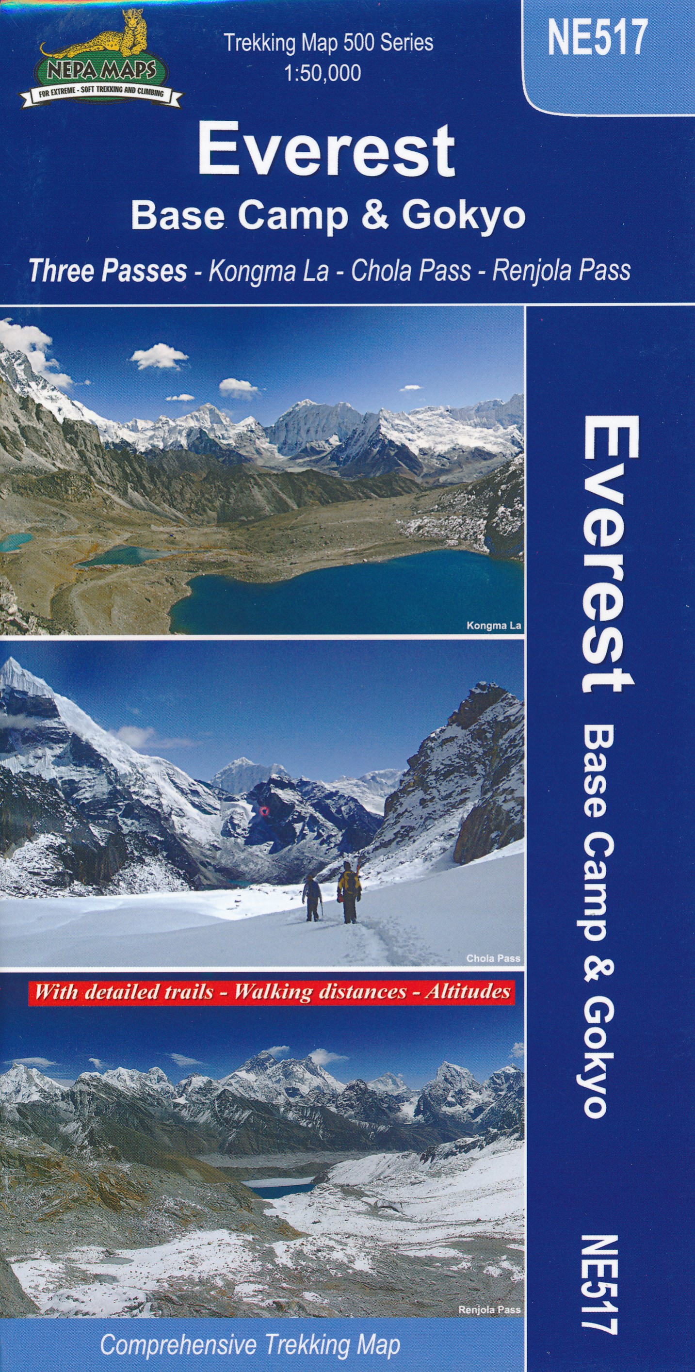
- Wandelkaart NE517 Trekking map Everest Base Camp - Goyko | Himalayan Maphouse
- Everest Base Camp - Gokyo - Three Passes Trek map at 1:50,000 from Nepa Maps prominently highlighting the Three Passes Trek from Lukla and Namche along a section of the Everest Trek via Tengboche and Dingboche to the Thokla Pass, then westwards to the Cho (Chhugyuma) La Pass, Gokyo Lake and the Rejno La Pass, and southwards back to Namche via... Leer más
De Zwerver
Netherlands
Netherlands
- Wandelkaart 02 Nepal Khumbu Himal | Nepal Kartenwerk
- Khumbu Himal area at 1:50,000 on a waterproof and tear-resistant map in the famous Schneider series, revised in 2013 to include extensive tourist information for trekking routes to the Mount Everest Base Camp, Gokyo Lakes, Island Peak, Makalu Base Camp, etc. Coverage extends north from Namche Bazaar and along the Tibetan border from the Lunag... Leer más
Bol.com
Netherlands
Netherlands
- Khumbu, Nepal
- Detailed topographic trekking map for the Khumbu region of Nepal. Includes coverage of Sagarmatha National Park, Makalu Barun National Park, and the western bordering foothills. Leer más
- Also available from:
- Bol.com, Belgium
- De Zwerver, Netherlands
Bol.com
Belgium
Belgium
- Khumbu, Nepal
- Detailed topographic trekking map for the Khumbu region of Nepal. Includes coverage of Sagarmatha National Park, Makalu Barun National Park, and the western bordering foothills. Leer más
De Zwerver
Netherlands
Netherlands
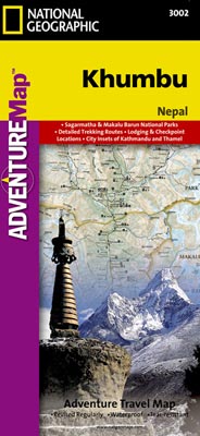
- Wandelkaart 3002 trekking map Khumbu - Nepal | National Geographic
- Mooie gedetailleerde topografische kaart, voorzien van veel extra info en gedrukt op water- en scheurvast materiaal. Each Adventure Map is highly detailed, incredibly durable, waterproof and tear-resistant. Stunning shaded relief brings each map to life, giving you the power to discover, plan and dream. Trail routes, villages, cultivated areas,... Leer más
De Zwerver
Netherlands
Netherlands
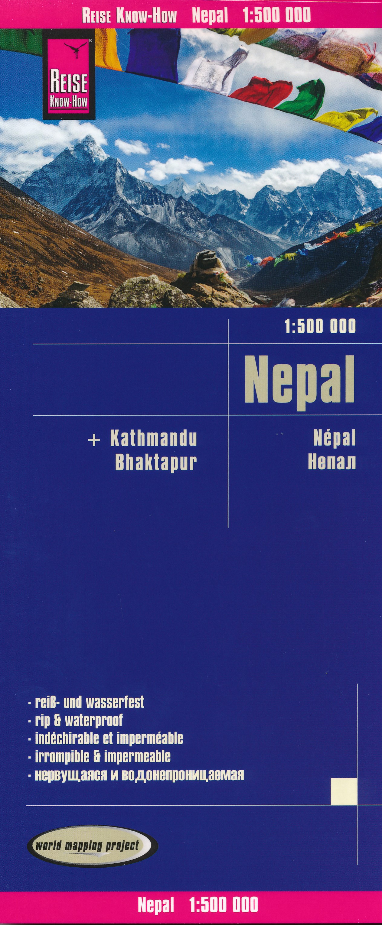
- Wegenkaart - landkaart Nepal | Reise Know-How Verlag
- Nepal on an indexed, waterproof and tear-resistant road map, ideal for locating the country`s numerous famous peaks, with topographic and tourist information, and enlargements for Kathmandu, Pokhara, and Chitwan regions, plus Bhaktapur. The map, published by Reise Know-How as part of their highly acclaimed World Mapping Project, is double-sided... Leer más

De Zwerver
Netherlands
Netherlands
- Wandelkaart The Great Himalaya Trail | GHT
- Prachtige kaartenserie van één van 'swerelds mooiste wandeltochten. The Far West is one of the least explored areas of Nepal. Its area is bounded to the east by mighty, turquoise Karnali river which flows from Tibet’s sacred Mount Kailash. Myth and superstition remain part of the fabric of life here. Though the Nepali language originated... Leer más
De Zwerver
Netherlands
Netherlands
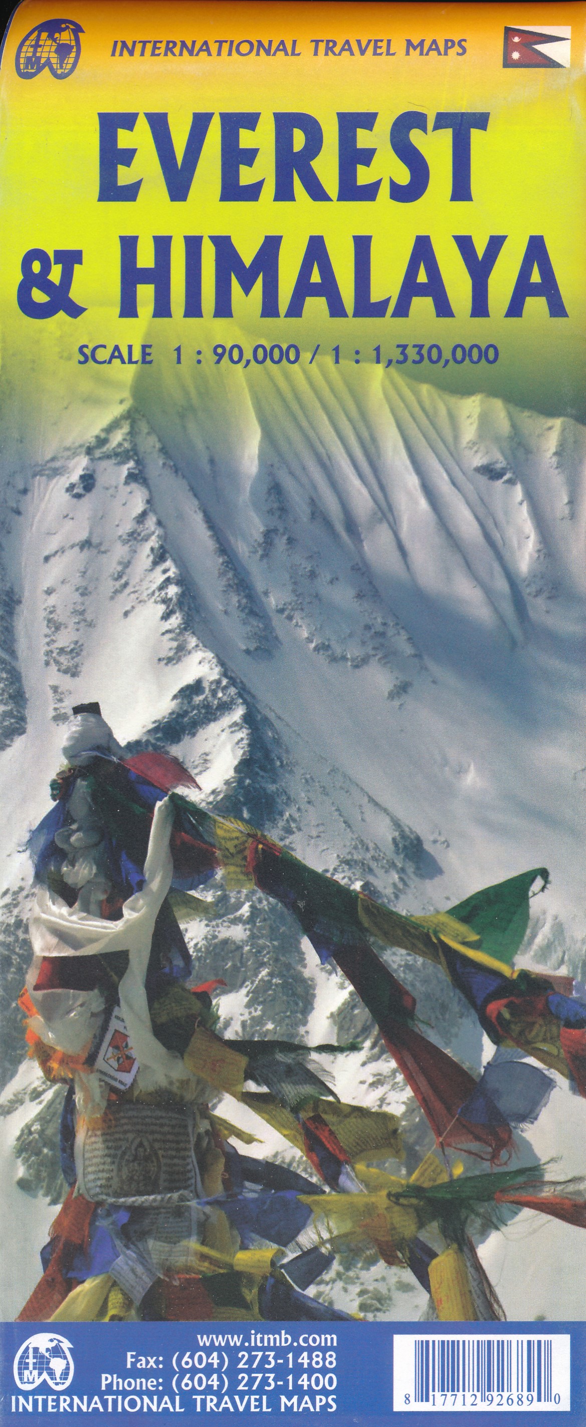
- Wandelkaart Mount Everest - Himalaya | ITMB
- Mt Everest region at 1:100,000 from ITMB on a contoured map with tourist information but with somewhat unusual choice of colouring which makes the whole area appear more like a desert rather the highest mountain range covered in glaciers!Coverage extends from Lukla to beyond the North Base Camp on the Tibetan side. The map has contour lines at... Leer más