
Everest
Descripción
- Altitud 8848.00 m
The world's absolute highest mountain, located on the border between Tibet, China and Nepal.
Enlaces
Datos
Informes
Guías y mapas
Hospedaje
Organizaciones
Operadores turísticos
GPS
Otro
Libros

The Book Depository
United Kingdom
United Kingdom
- The Girl Who Climbed Everest
- The Inspirational of Alyssa Azar, Australia's Youngest Adventurer Leer más

The Book Depository
United Kingdom
United Kingdom
- Concise Guide to the Everest Base Camp Trek
- How to Prepare, What to Take and What to Expect Leer más

The Book Depository
United Kingdom
United Kingdom
- The Girl Who Climbed Everest
- The Inspirational of Alyssa Azar, Australia's Youngest Adventurer Leer más
The Book Depository
United Kingdom
United Kingdom
- Trekking Everest Base Camp - The Day to Day Guide
- and what isn't in the guidebooks Leer más


The Book Depository
United Kingdom
United Kingdom
- The Girl Who Climbed Everest: The inspirational story of Alyssa Azar, Australia's Youngest Adventurer
- The Inspirational Story of Alyssa Azar, Australia's Youngest Adventurer Leer más

The Book Depository
United Kingdom
United Kingdom
- A Trekking Guide to Everest
- Everest Base Camp, Gokyo Lakes, Thame Valley, Three High Passes, Classic Everest, Arun Valley Leer más


The Book Depository
United Kingdom
United Kingdom
- Doofus Dad Does Everest Base Camp
- One of Planet Earth's epic adventures told by a slightly-less-than-epic guy Leer más


Stanfords
United Kingdom
United Kingdom
- Everest England
- A unique hill-walking guide with a culminative ascent of the height of Everest, written in Peter Owen Jones` unique descriptive style. Scaling the peaks of Everest, the world`s highest mountain, is the ultimate physical and mental challenge that the human race can aspire to. But as it takes years of preparation and a minimum of £25,000 to... Leer más
- Also available from:
- The Book Depository, United Kingdom

Más libros…

Mapas

Stanfords
United Kingdom
United Kingdom
- Khumbu - Jiri to Everest Nepa Maps Trekking Map
- Trekking route from Juri to Lukla and Namche Bazaar, and then on to the Everest Base Camp presented on a map at 1:100,000 from Nepa Maps. In addition to the main trekking route from Jiri to Mt Everest the map also highlights several other routes in the Khumbu region including treks to Gokyo Lakes, Island Peak (Imja Tse), Mera Peak, Amphu Labsta... Leer más

Stanfords
United Kingdom
2017
United Kingdom
2017
- Nepal Nelles
- Nepal on a waterproof and tear-resistant map from Nelles, presenting the whole country at 1:1,500,000, with its more visited central and eastern regions also shown in more detail at 1:480,000, plus enlargement of the Kathmandu Valley and the Rara Lake area and street plans of central Kathmandu City, Patan, Bhaktapur and the lakeside district of... Leer más

Stanfords
United Kingdom
United Kingdom
- Solu Khumbu - Everest Region Great Himayala Trail Map
- Solu Khumbu/Everest Region, map no. 103, at 1:100,000 on a waterproof and tear-resistant trekking map from the Himalayan MapHouse in their series covering the whole of northern Nepal. The map highlights main trekking routes from Lukla, both north and south of the town: Everest Base Camp Trek, alternative routes to the Gokyo Lakes, Bhote Koshi... Leer más

Stanfords
United Kingdom
United Kingdom
- Everest Region Trekking Map
- Mount Everest area on a trekking map at 1:75,000 from the Kolkata/Calcutta based Milestone Books, highlighting main trekking routes and showing peaks, passes and selected locations with altitude both in metres and feet. Coverage extends from just south of Lukla to the Chinese side of Mount Everest and the peaks of Cho Oyo and Gyachung Kang.The... Leer más

Stanfords
United Kingdom
United Kingdom
- Numbur Cheese Circuit
- Numbur Cheese Circuit at 1:100,000 in the Nepa Maps series which provides extensive coverage of trekking areas of Nepal on detailed contoured maps with trekking routes and hiking trails, huts and camp sites, local places of interest and other tourist information.The map covers the same area as the publishers’ “Jiri to Everest” title and has... Leer más

Stanfords
United Kingdom
United Kingdom
- Everest Base Camp & Gokyo - Three Passes 50K
- Everest Base Camp - Gokyo - Three Passes Trek map at 1:50,000 from Nepa Maps prominently highlighting the Three Passes Trek from Lukla and Namche along a section of the Everest Trek via Tengboche and Dingboche to the Thokla Pass, then westwards to the Cho (Chhugyuma) La Pass, Gokyo Lake and the Rejno La Pass, and southwards back to Namche via... Leer más

Stanfords
United Kingdom
United Kingdom
- Island Peak / Imja Tse Nepa Maps Climbing Map
- The trek from Namche to the base camp of the Island Peak (Imja Tse) with the climbing route to the peak itself annotated with views towards the surrounding mountains, presented by Nepa Maps at 1:40,000. The map also includes plans of Namche and Lukla highlighting accommodation and other facilities.Namche is in the south-western corner of the... Leer más

Stanfords
United Kingdom
United Kingdom
- Tenzing-Hillary Trek - Jiri to Everest Base Camp
- One of Nepal’s most popular trekking routes, from Juri to the Base Camp of Mount Everest, presented on a double-sided map at 1:50,000 from Nepa Maps. Now named after the two conquerors of Everest, the main trek is prominently marked on the map, along with the route from Namche Bazaar to Gokyo Lakes. Also highlighted are numerous other treks in... Leer más

Stanfords
United Kingdom
United Kingdom
- Mt. Everest (Sagarmatha) - Hinku Himal
- Mount Everesr (Sagarmatha) - Hinku Himal, sheet no. 2786-04, in the topographic survey of Nepal at 1:50,000 published by the Nepali Government in the late 1990s and early 2000s and produced from remote sensing data by Finnish cartographers as part of that country’s international aid program. The maps cover 15’ x 15’ quadrangles.IMPORTANT –... Leer más

Stanfords
United Kingdom
United Kingdom
- Everest - Gokyo - Cho La - the Renjo Pass (60K)
- Everest – Gokyo - Cho La - Renjo Pass map at 1:60,000 from the Himalayan MapHouse, prominently highlighting the Three Passes Trek from Lukla and Namche along a section of the Everest Trek via Tengboche and Dingboche to the Thokla Pass, then westwards to the Cho (Chhugyuma) La Pass, Gokyo Lake and the Rejno La Pass, and southwards back to Namche... Leer más
Stanfords
United Kingdom
United Kingdom
- Island Peak (Imja Tse)
- The trek from Namche to the base camp of the Island Peak (Imja Tse) with the climbing route to the peak itself annotated with views towards the surrounding mountains, presented by Nepa Maps at 1:40,000. The map also includes plans of Namche and Lukla highlighting accommodation and other facilities.Namche is in the south-western corner of the... Leer más

Stanfords
United Kingdom
United Kingdom
- Ama Dablam
- Mt. Everest area on a contoured and GPS-compatible map at 1:40,000 from Nepa Maps, designed to show trekking routes from Namche, Tengboche and Pangboche towards the Ama Dablam and Imja Tse (Island Peak) Base Camps, and the continuation climbing routes towards these two peaks, Lhotse and Lhotse Star.With Thamo and Namche Bazar in the... Leer más

Stanfords
United Kingdom
United Kingdom
- Everest - Trekking Map & Complete Guide
- Everest Trekking Guide from Milestone Books with very detailed and informative stage-by-stage descriptions of main Mt Everest trek from Lukla and Namche Bazaar to the Everest Base Camp, plus the route to the Gokyo Lakes. Each route is presented on coloured map extracts from the accompanying separate fold-out map, includes a route profile, and... Leer más
- Also available from:
- The Book Depository, United Kingdom

The Book Depository
United Kingdom
United Kingdom
- Everest: Trekking Map & Complete Guide
- Everest Trekking Guide from Milestone Books with very detailed and informative stage-by-stage descriptions of main Mt Everest trek from Lukla and Namche Bazaar to the Everest Base Camp, plus the route to the Gokyo Lakes. Each route is presented on coloured map extracts from the accompanying separate fold-out map, includes a route profile, and... Leer más
Bol.com
Netherlands
Netherlands
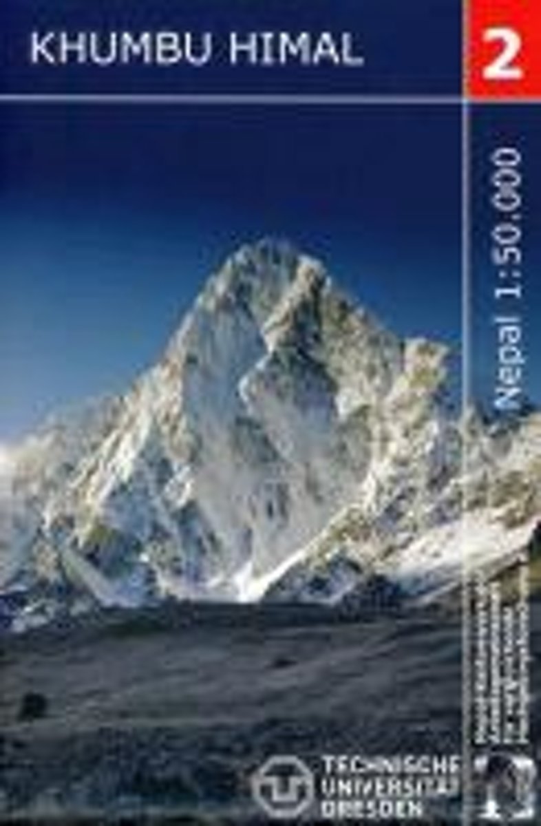
- Khumbu Himal Trekking-Karte 1 : 50 000
- Khumbu Himal area at 1:50,000 on a waterproof and tear-resistant map in the famous Schneider series, revised in 2013 to include extensive tourist information for trekking routes to the Mount Everest Base Camp, Gokyo Lakes, Island Peak, Makalu Base Camp, etc. Coverage extends north from Namche Bazaar and along the Tibetan border from the Lunag... Leer más
- Also available from:
- Bol.com, Belgium
Bol.com
Belgium
Belgium
- Khumbu Himal Trekking-Karte 1 : 50 000
- Khumbu Himal area at 1:50,000 on a waterproof and tear-resistant map in the famous Schneider series, revised in 2013 to include extensive tourist information for trekking routes to the Mount Everest Base Camp, Gokyo Lakes, Island Peak, Makalu Base Camp, etc. Coverage extends north from Namche Bazaar and along the Tibetan border from the Lunag... Leer más

Stanfords
United Kingdom
United Kingdom
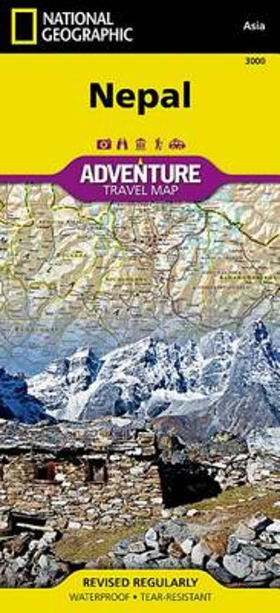
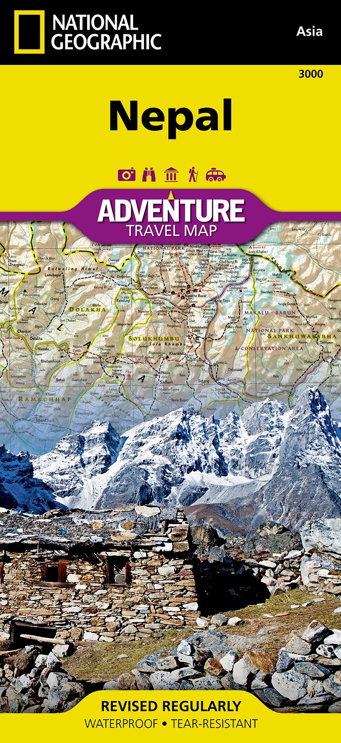
- Nepal Adventure Map
- Nepal Adventure Map from the National Geographic presenting the country at 1:625,000 on light, waterproof and tear-resistant synthetic paper, with a large panel showing the main sights and facilities in the Kathmandu – Patan area.The map is double-sided, dividing the country east/west with a good overlap between the sides. Topography is... Leer más
- Also available from:
- Bol.com, Netherlands
- Bol.com, Belgium
- De Zwerver, Netherlands
Bol.com
Netherlands
Netherlands
- Nepal
- Waterproof Tear-Resistant Travel MapNational Geographic's Nepal AdventureMap is the most authoritative map for touring the country. Each waterproof and tear-resistant map provides travelers with the perfect combination of detail and perspective, highlighting points of interest for those venturing outside city centers.This durable, folded... Leer más
Bol.com
Belgium
Belgium
- Nepal
- Waterproof Tear-Resistant Travel MapNational Geographic's Nepal AdventureMap is the most authoritative map for touring the country. Each waterproof and tear-resistant map provides travelers with the perfect combination of detail and perspective, highlighting points of interest for those venturing outside city centers.This durable, folded... Leer más
De Zwerver
Netherlands
Netherlands
- Wegenkaart - landkaart 3000 Adventure Map Nepal | National Geographic
- Nepal Adventure Map from the National Geographic presenting the country at 1:625,000 on light, waterproof and tear-resistant synthetic paper, with a large panel showing the main sights and facilities in the Kathmandu – Patan area.The map is double-sided, dividing the country east/west with a good overlap between the sides. Topography is... Leer más