Himalayas
Descripción
Enlaces
Datos
Informes
Guías y mapas
Hospedaje
Organizaciones
Operadores turísticos
GPS
Otro
Libros


The Book Depository
United Kingdom
2013
United Kingdom
2013
- A Walk in the Clouds
- 75 short stories of adventures among the mountains of the world Leer más

Stanfords
United Kingdom
2018
United Kingdom
2018
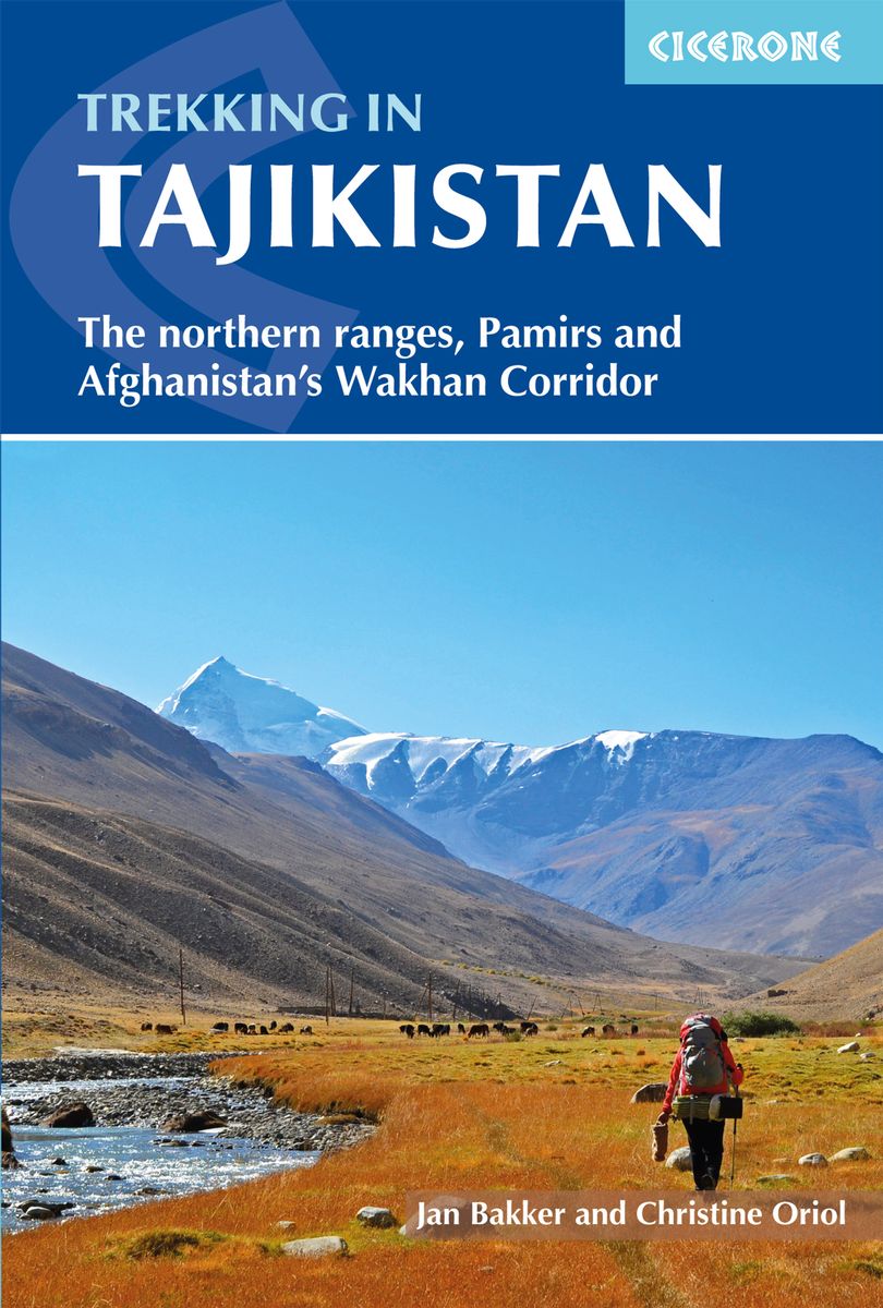
- Trekking in Tajikistan: The northern ranges, Pamirs and Afghanistan`s Wakhan Corridor
- This guide describes twenty high-altitude treks of 2-9 days in the mountains of Tajikistan, covering the Fann Mountains, Pamirs and northern ranges, plus five day hikes near the capital, Dushanbe, and a 10-day trek in the Afghan Wakhan Corridor. As well as detailed route description and 1:100,000 mapping for each trek, there is a wealth of... Leer más
- Also available from:
- The Book Depository, United Kingdom
- De Zwerver, Netherlands

The Book Depository
United Kingdom
2018
United Kingdom
2018
- Trekking in Tajikistan
- The northern ranges, Pamirs and Afghanistan's Wakhan Corridor Leer más
De Zwerver
Netherlands
2019
Netherlands
2019
- Wandelgids Trekking in Tajikistan - Tadzjikistan | Cicerone
- Guidebook to trekking in Tajikistan and Afghanistan. Contains 21 treks exploring 5 different mountain areas, including the Northern Ranges, Pamir Mountains and Afghanistan's Wakhan Corridor. Also includes a handful of shorter day hikes. With advice on trekking, backpacking equipment, permits and visas, and transport. Leer más


The Book Depository
United Kingdom
United Kingdom
- Nepal Himalaya: The Most Mountainous of a Singularly Mountainous Country
- The Most Mountainous of a Singularly Mountainous Country Leer más

Stanfords
United Kingdom
United Kingdom
- From the Lion`s Mouth: A Journey Along the Indus
- Shortlisted for the 2020 Edward Stanford Travel Writing Award`s Steppes Travel Adventure Travel Book of the YearIain Campbell has been fascinated by mountains for as long as he can remember. In his new book, he tells the story of a journey following the course of the Indus River from its mouth in the mudflats of Karachi through the Karakorum,... Leer más
- Also available from:
- The Book Depository, United Kingdom


The Book Depository
United Kingdom
2020
United Kingdom
2020
- Also available from:
- De Zwerver, Netherlands

Bol.com
Netherlands
Netherlands
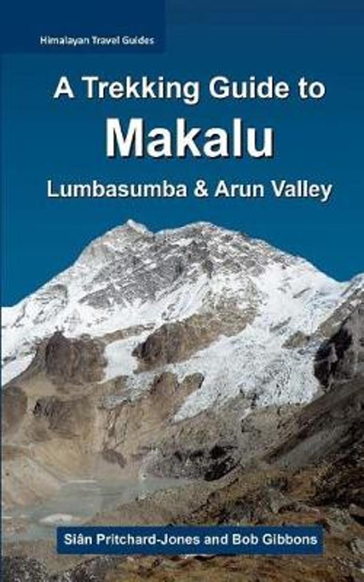
- A Trekking Guide to Makalu
- The trek to Makalu Base Camp is a sensational experience that has been ignored for so long by so many. Where else in the Himalaya can one stand just a few hundred metres below 3800m of soaring rock, ice and glaciers? Unlike Everest and Kanchenjunga, which are both viewed from a few kilometres away from the actual faces, Makalu towers directly... Leer más
- Also available from:
- Bol.com, Belgium
Bol.com
Belgium
Belgium
- A Trekking Guide to Makalu
- The trek to Makalu Base Camp is a sensational experience that has been ignored for so long by so many. Where else in the Himalaya can one stand just a few hundred metres below 3800m of soaring rock, ice and glaciers? Unlike Everest and Kanchenjunga, which are both viewed from a few kilometres away from the actual faces, Makalu towers directly... Leer más
Mapas

Stanfords
United Kingdom
United Kingdom
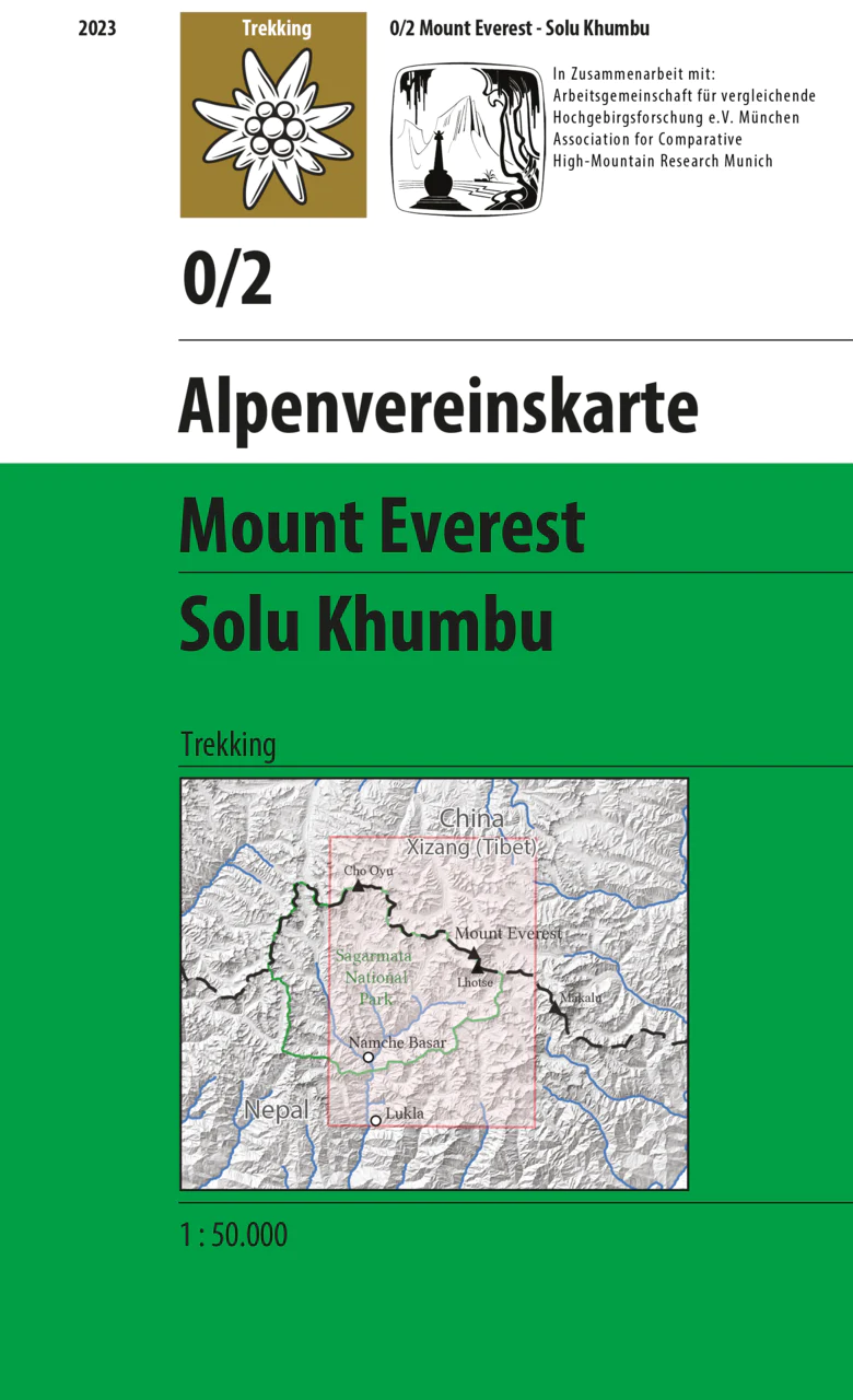
- Solu Khumbu - Everest Region Great Himayala Trail Map
- Solu Khumbu/Everest Region, map no. 103, at 1:100,000 on a waterproof and tear-resistant trekking map from the Himalayan MapHouse in their series covering the whole of northern Nepal. The map highlights main trekking routes from Lukla, both north and south of the town: Everest Base Camp Trek, alternative routes to the Gokyo Lakes, Bhote Koshi... Leer más

Stanfords
United Kingdom
United Kingdom
- Mustang Great Himalaya Trail Map
- Mustang, map no. 108, at 1:100,000 on a waterproof and tear-resistant trekking map from the Himalayan MapHouse in their series covering the whole of northern Nepal. The map shows the region north of the upper section of the Annapurna Circuit, beyond Jomsom/Jomosom and Muktinath, and highlights the route to Garphu, the Mustang to Phu trek, the... Leer más

Stanfords
United Kingdom
United Kingdom
- Kailash
- Mount Kailash (Kang Rinpoche / Kang Tise) on a contoured and GPS compatible map at 1:50,000 from Swiss publishers Gecko Maps, with a plan of Darchen and an overview map of Tibet, plus on the reverse a panorama map of the area.The map is centred on the peak of Kailash and extends northwards from the approach road from Lhasa to Darchen, beyond... Leer más

Stanfords
United Kingdom
United Kingdom
- Rolwaling Region Great Himalaya Trail Map SUPERCEDED
- The Rolwaling, map no. 104, at 1:100,000 on a waterproof and tear-resistant trekking map from the Himalayan MapHouse in their series covering the whole of northern Nepal. The map highlights main trekking routes from Jiri, both north and south of the town, including the first sections of the Jiri/Everest and Jiri/Pikey Peak trails, the Numbur... Leer más

Stanfords
United Kingdom
United Kingdom
- Kanchenjunga Region Great Himalaya Trail Map
- Kanchenjunga Region, map no. 101, at 1:100,000 on a waterproof and tear-resistant trekking map from the Himalayan MapHouse in their series covering the whole of northern Nepal. The map highlights main trekking routes from Taplejung, including Kanchenjunga Base Camp Trek, Yalung Base Camp Trek, Phathibhara Trek, the route along the Yangma Khola... Leer más

Stanfords
United Kingdom
United Kingdom
- Rolwaling Region Great Himalaya Trail Map
- The Rolwaling, map no. 104, at 1:100,000 on a waterproof and tear-resistant trekking map from the Himalayan MapHouse in their series covering the whole of northern Nepal. The map highlights main trekking routes from Jiri, both north and south of the town, including the first sections of the Jiri/Everest and Jiri/Pikey Peak trails, the Numbur... Leer más

Stanfords
United Kingdom
United Kingdom
- Makalu Region Great Himalay Trail Map
- Makalu Region, map no. 102, at 1:100,000 on a waterproof and tear-resistant trekking map from the Himalayan MapHouse in their series covering the whole of northern Nepal. The map highlights main trekking routes from Tumlingtar northwards: the Makalu Base Camp Trek and the route to Kimathangka, a local route east of the town, plus the relevant... Leer más

Stanfords
United Kingdom
United Kingdom
- Monastry Circuit Trail
- The Monastery Trail south of Lukla at 1:100,000 in the Nepa Maps series which provides extensive coverage of trekking areas of Nepal on detailed contoured maps with trekking routes and hiking trails, huts and camp sites, local places of interest and other tourist information.The map covers an area from Namche Bazar southwards along the Dudh... Leer más
De Zwerver
Netherlands
2023
Netherlands
2023
De Zwerver
Netherlands
2019
Netherlands
2019
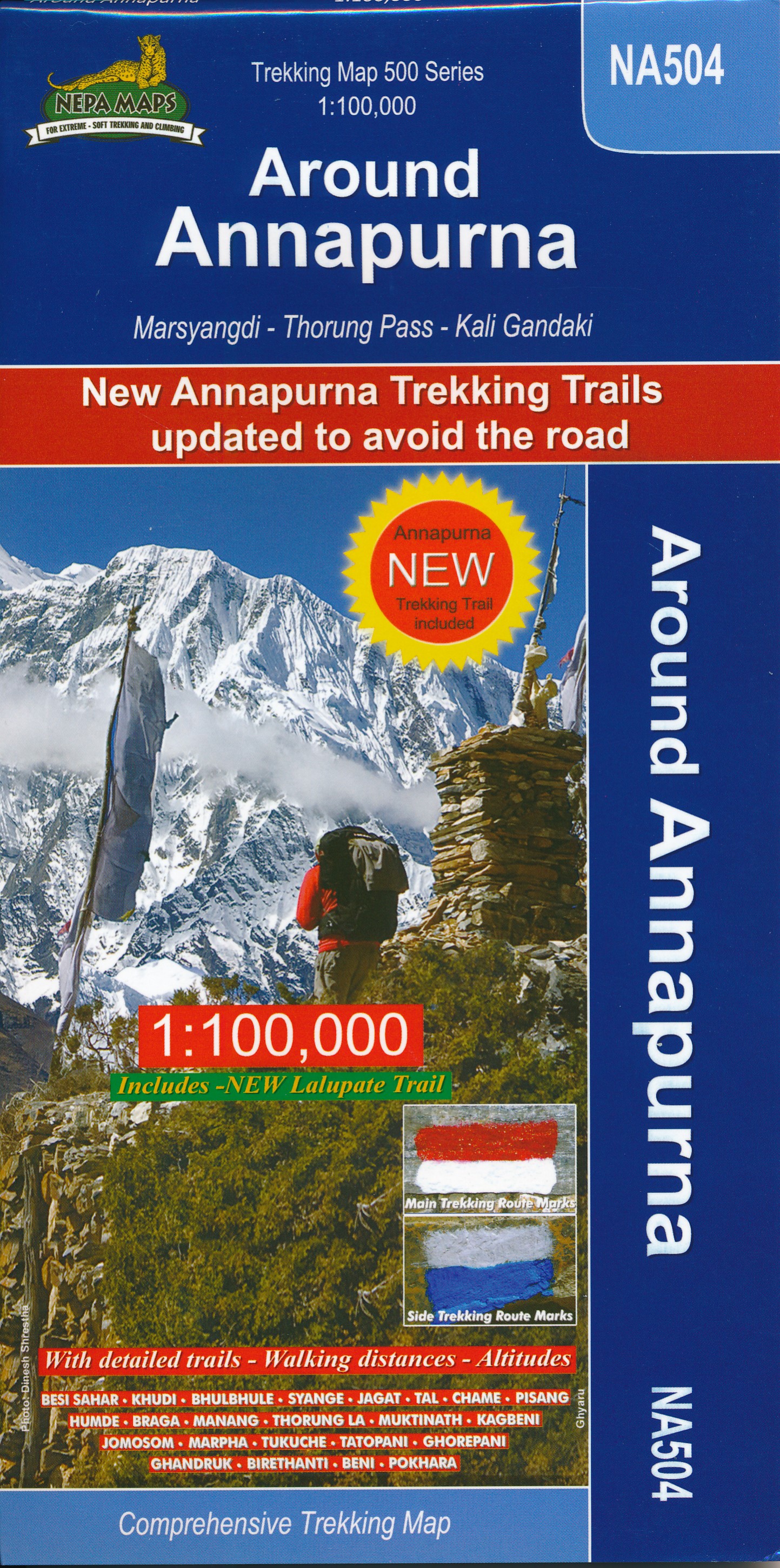
- Wandelkaart NA504 Trekking map Around Annapurna | Himalayan Maphouse
- The whole of the Annapurna Circuit highlighted on a map at 1:100,000 from Nepa Maps, with alternative variants via the Tilicho Lakes or Naar, treks to the Machhapuchhre and South Annapurna Base Camps, climbing routes to the Chulu Peaks, Pisang Peak and Singu Chuli (Fluted Peak), etc. Coverage extends from Pohkara to Muktinath and Kagbeni in the... Leer más

De Zwerver
Netherlands
Netherlands
- Wandelkaart The Great Himalaya Trail | GHT
- Prachtige kaartenserie van één van 'swerelds mooiste wandeltochten. The Far West is one of the least explored areas of Nepal. Its area is bounded to the east by mighty, turquoise Karnali river which flows from Tibet’s sacred Mount Kailash. Myth and superstition remain part of the fabric of life here. Though the Nepali language originated... Leer más
De Zwerver
Netherlands
Netherlands
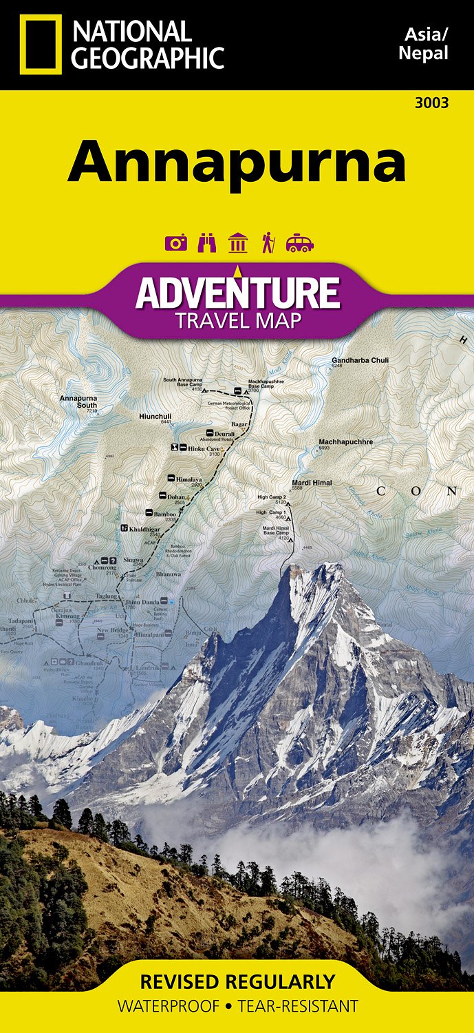
- Wandelkaart 3003 Trekking map Annapurna - Nepal | National Geographic
- Mooie gedetailleerde topografische kaart, voorzien van veel extra info en gedrukt op water- en scheurvast materiaal. Each Adventure Map is highly detailed, incredibly durable, waterproof and tear-resistant. Stunning shaded relief brings each map to life, giving you the power to discover, plan and dream. Trail routes, villages, cultivated areas,... Leer más
Más mapas…