
Stanfords
United Kingdom
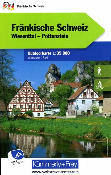
- Franconian Switzerland - Wiesenttal - Pottenstein K+F Outdoor Map 37
- Fränkische Schweiz region of the Franconian Jura in northern Bavaria at 1:35,000 from Kümmerly+Frey in a series GPS compatible, double-sided maps printed on durable, waterproof and tear-resistant plastic paper; contoured, with hiking and cycle routes, other recreational activities, etc.Maps in this series are at a scale of either 1:50,000 or... Leer más

Stanfords
United Kingdom
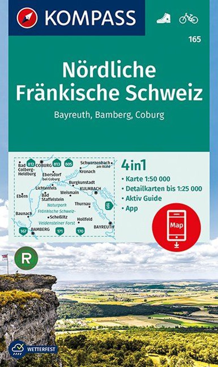
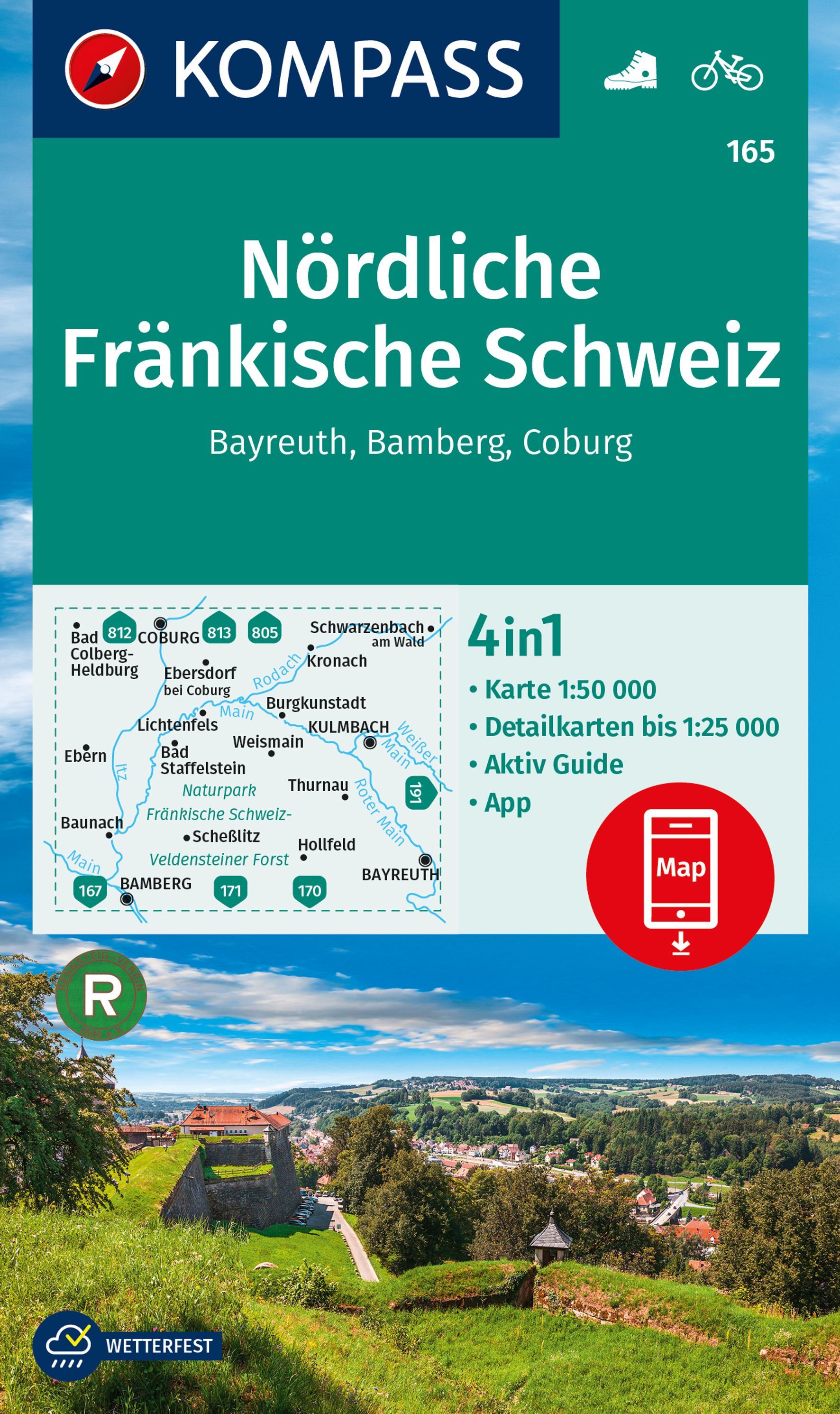
- North Franconian Switzerland - Bayreuth - Bamberg - Coburg Kompass 165
- Bayreuth - Bamberg - Coburg - Nördliche Fränkische Schweiz (No.165), a detailed, GPS compatible map at 1:50,000 from Kompass with local and long-distance footpaths, cycling routes, accommodation, etc, printed on durable, waterproof and tear-resistant synthetic paper. KOMPASS HIKING & RECREATIONAL MAPS:This title is part of an extensive series... Leer más

Stanfords
United Kingdom
- Franconian Switzerland Regional Park - Veldensteiner Forst North
- Franconian Switzerland / Fränkische Schweiz Regional Park - Veldensteiner Forst North, map no. UK50-10 covering an area around Bayreuth, Kulmbach and Lichtenfels, in a series of special contoured and GP-compatible recreational maps from the Bavarian state survey organization, with cartography of the German topographic survey at 1:50,000 and... Leer más

Stanfords
United Kingdom
- Franconian Switzerland Regional Park - Veldensteiner Forst South
- Franconian Switzerland / Fränkische Schweiz Regional Park - Veldensteiner Forst South, map No. UK50-11 covering an area around Forchheim and Lauf an der Pegnitz, in a series of special contoured and GP-compatible recreational maps from the Bavarian state survey organization, with cartography of the German topographic survey at 1:50,000 and... Leer más
Stanfords
United Kingdom
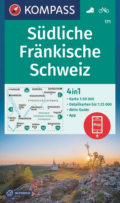
- Franconian Switzerland South Kompass 171
- The southern part of the Franconian Switzerland (Fränkische Schweiz) area of Bavaria on a detailed, contoured and GPS compatible map at 1:50,000 from Kompass with local and long-distance footpaths, cycling routes, accommodation, etc. printed on durable, waterproof and tear-resistant synthetic paper. KOMPASS HIKING & RECREATIONAL MAPS: this... Leer más
De Zwerver
Netherlands
Bol.com
Netherlands
- Nördliche Fränkische Schweiz, Bayreuth, Bamberg, Coburg 1:50 000
- . Auf in die Schweiz - aber in die fränkische! Das ist der nördliche Teil der Fränkischen Alb, ein wunderbares Wandergebiet, das im Norden vom Main, im Westen von der Regnitz und im Osten von der Pegnitz begrenzt wird. . Somit erstreckt sich das Gebiet der Fränkischen Schweiz über Teile der Landkreise Bamberg, Bayreuth, Forchheim und... Leer más
Bol.com
Belgium
- Nördliche Fränkische Schweiz, Bayreuth, Bamberg, Coburg 1:50 000
- . Auf in die Schweiz - aber in die fränkische! Das ist der nördliche Teil der Fränkischen Alb, ein wunderbares Wandergebiet, das im Norden vom Main, im Westen von der Regnitz und im Osten von der Pegnitz begrenzt wird. . Somit erstreckt sich das Gebiet der Fränkischen Schweiz über Teile der Landkreise Bamberg, Bayreuth, Forchheim und... Leer más
De Zwerver
Netherlands
De Zwerver
Netherlands
De Zwerver
Netherlands