Stanfords
United Kingdom
United Kingdom
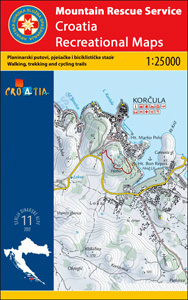
- Lošinj Island Croatian Mountain Rescue Service 25K Map
- The island of Lošinj on the Adriatic coast of Croatia on a double-sided, contoured and GPS compatible map at 1:25,000 from the Croatian Mountain Rescue Service, highlighting hiking paths, including trails on the southern part of Cres and on the nearby islands of Unije, Susak and Ilovik.Contours at 10m intervals enhanced by relief shading... Leer más