
Stanfords
United Kingdom
- Drenthe East - Southeast Groningen Falkplan Cycling Map
- The eastern part of the Drenthe Province in the Netherlands at 1:50,000 in a series from Falk B.V. showing the network of signposted cycling routes on large, double-sided indexed maps with prominent highlighting of long-distance LF routes, symbols indicating accommodation and other tourist services, plus in each title two or more panels with... Leer más

Stanfords
United Kingdom
- De Acht Zaligheden
- ”De Acht Zaligheden” map in 1:25,000 belong to a series of eleven walking from Falk, which cover the most beautiful hiking areas in four regions: North Brabant in the south, the tip of North Holland, Friesland and Groningen in the north of the country.”De Acht Zaligheden” (the eight beauties) map covers an area of approximately 24 x 12 km in... Leer más

Stanfords
United Kingdom
- North East Groningen
- “North East Groningen” map in 1:25,000 belong to a series of eleven walking from Falk, which cover the most beautiful hiking areas in four regions: North Brabant in the south, the tip of North Holland, Friesland and Groningen in the north of the country.“North East Groningen” map covers part of the Frisian Islands and a section of Groningen.The... Leer más

Stanfords
United Kingdom
- Het Groene Woud
- “Het Groene Woud” map in 1:25,000 belong to a series of eleven walking from Falk, which cover the most beautiful hiking areas in four regions: North Brabant in the south, the tip of North Holland, Friesland and Groningen in the north of the country.“Het Groene Woud” (the green forest) map covers an area of approximately 26 x 16 km in North... Leer más

Stanfords
United Kingdom
- North West Friesland
- “North West Friesland” map in 1:25,000 belong to a series of eleven walking from Falk, which cover the most beautiful hiking areas in four regions: North Brabant in the south, the tip of North Holland, Friesland and Groningen in the north of the country.“North West Friesland” map covers part of the Frisian Islands and a section of North... Leer más
Stanfords
United Kingdom
- Groningen - Lauwersmeer Falkplan Cycling Map
- Groningen Province of the Netherlands at 1:50,000 in a series from Falk B.V. showing the network of signposted cycling routes on large, double-sided indexed maps with prominent highlighting of long-distance LF routes, symbols indicating accommodation and other tourist services, plus in each title two or more panels with recommended local... Leer más

Stanfords
United Kingdom
- North East Friesland
- “North East Friesland” map in 1:25,000 belong to a series of eleven walking from Falk, which cover the most beautiful hiking areas in which cover the most beautiful hiking areas in four regions: North Brabant in the south, the tip of North Holland, Friesland and Groningen in the north of the country.“North East Friesland” map covers part of the... Leer más
De Zwerver
Netherlands
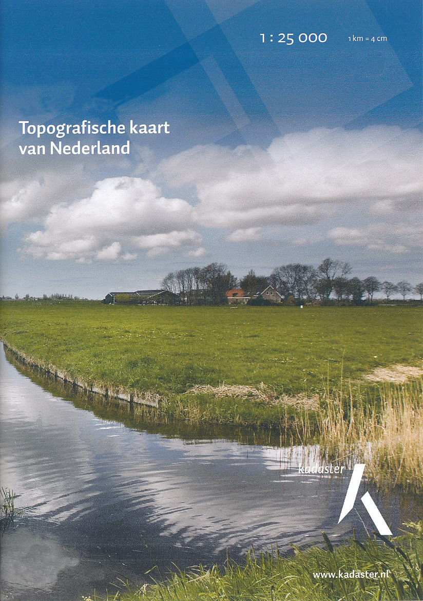
- Topografische kaart - Wandelkaart 18B Wessingtange | Kadaster
- De meest gedetailleerde kaart die via de verkoopkanalen verkrijgbaar is. Gemaakt door de Nederlandse Topografische dienst bevat deze kaart alle topografische elementen van het landschap en geeft daarmee een nauwkeurig beeld van het terrein. De meeste kaarten hebben een kaartbeeld dat overeenkomt met 12,5 x 10 kilometer in werkelijkheid. Naast... Leer más

De Zwerver
Netherlands
- Topografische kaart - Wandelkaart 13C Stadskanaal | Kadaster
- De meest gedetailleerde kaart die via de verkoopkanalen verkrijgbaar is. Gemaakt door de Nederlandse Topografische dienst bevat deze kaart alle topografische elementen van het landschap en geeft daarmee een nauwkeurig beeld van het terrein. De meeste kaarten hebben een kaartbeeld dat overeenkomt met 12,5 x 10 kilometer in werkelijkheid. Naast... Leer más
De Zwerver
Netherlands

De Zwerver
Netherlands
- Wandelkaart - Fietskaart Insel Rügen | Verlag Dr. Barthel
- Frei von Werbeanzeigen. reißfest, wetterfest durch Beschichtung mit hochwertiger nicht spiegelnder Folie, mit ausgewählten Straßennamen zur besseren Orientierung, farbig hervorgehobenen Ausflugszielen, Sehenswürdigkeiten der Umgebung in Text und Bild und alle regionalen und überregionalen Wander- und Radwanderwege sowie ausgewiesene... Leer más
De Zwerver
Netherlands

De Zwerver
Netherlands
- Topografische kaart - Wandelkaart 3D Usquert | Kadaster
- De meest gedetailleerde kaart die via de verkoopkanalen verkrijgbaar is. Gemaakt door de Nederlandse Topografische dienst bevat deze kaart alle topografische elementen van het landschap en geeft daarmee een nauwkeurig beeld van het terrein. De meeste kaarten hebben een kaartbeeld dat overeenkomt met 12,5 x 10 kilometer in werkelijkheid. Naast... Leer más

De Zwerver
Netherlands

De Zwerver
Netherlands
- Topografische kaart - Wandelkaart 7H Noordbroek | Kadaster
- De meest gedetailleerde kaart die via de verkoopkanalen verkrijgbaar is. Gemaakt door de Nederlandse Topografische dienst bevat deze kaart alle topografische elementen van het landschap en geeft daarmee een nauwkeurig beeld van het terrein. De meeste kaarten hebben een kaartbeeld dat overeenkomt met 12,5 x 10 kilometer in werkelijkheid. Naast... Leer más