De Zwerver
Netherlands
Netherlands
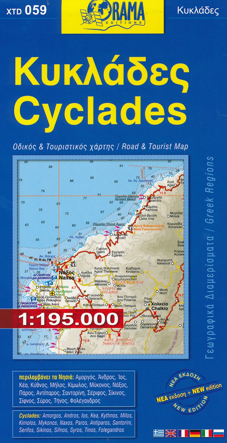
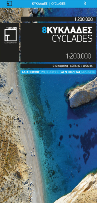
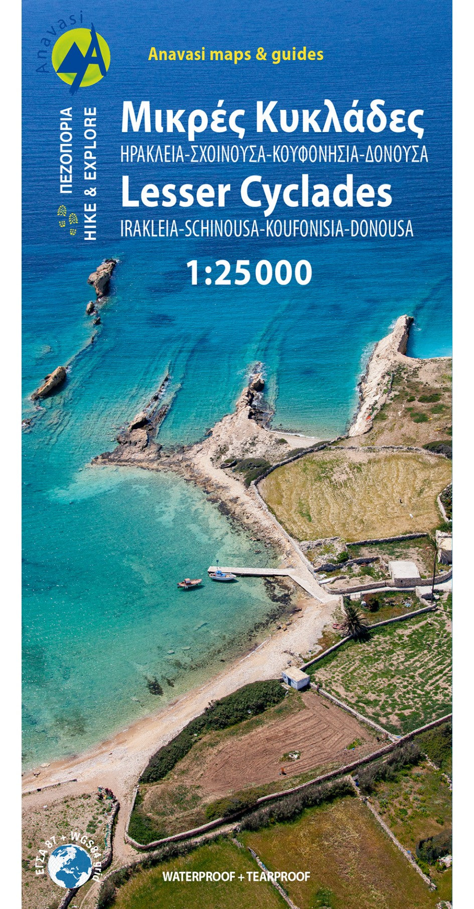
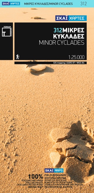
- Wandelkaart 312 Minor Cyclades | Terrain maps
- Minor Cyclades Islands: Heraklia, Schinousa, Keros, Koufonisia, Donoussa at 1:25,000 on a contoured, GPS compatible hiking map published by Terrain Cartography group together with Skai Maps, and printed on light, waterproof and tear-resistant Polyart plastic paper, with extensive tourist information.Topography is very well presented by... Leer más