Stanfords
United Kingdom
United Kingdom
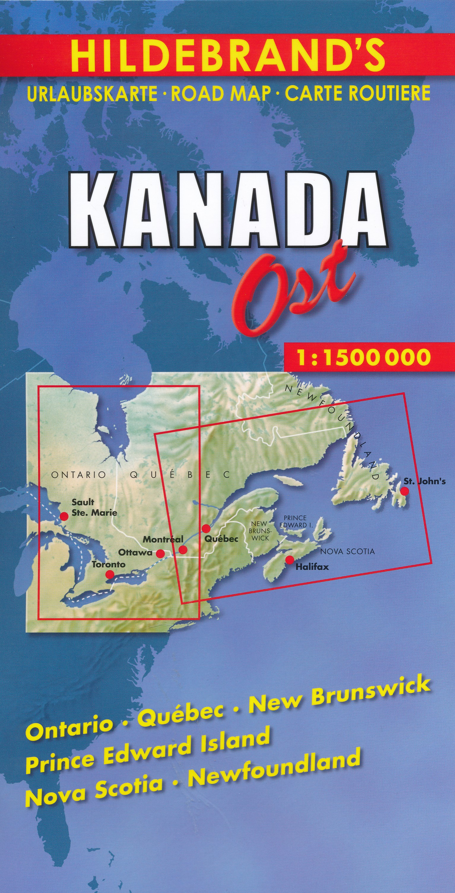
- Atlantic Canada - New Brunswick - Nova Scotia - Prince Edward Island - Newfoundland
- Atlantic Provinces of Canada on an indexed road map at 1:800,000 with Newfoundland at 1:1,400,000, plus street maps of the region’s main cities, an overview route planning map, a distance table, and contact details for information on ferry services.On one side two panels present at 1:800,000 New Brunswick, Nova Scotia and Prince Edward Island,... Leer más