Stanfords
United Kingdom
Stanfords
United Kingdom
Stanfords
United Kingdom
Stanfords
United Kingdom
Stanfords
United Kingdom
Stanfords
United Kingdom
Stanfords
United Kingdom
2020
» Click to open
The Book Depository
United Kingdom
2020
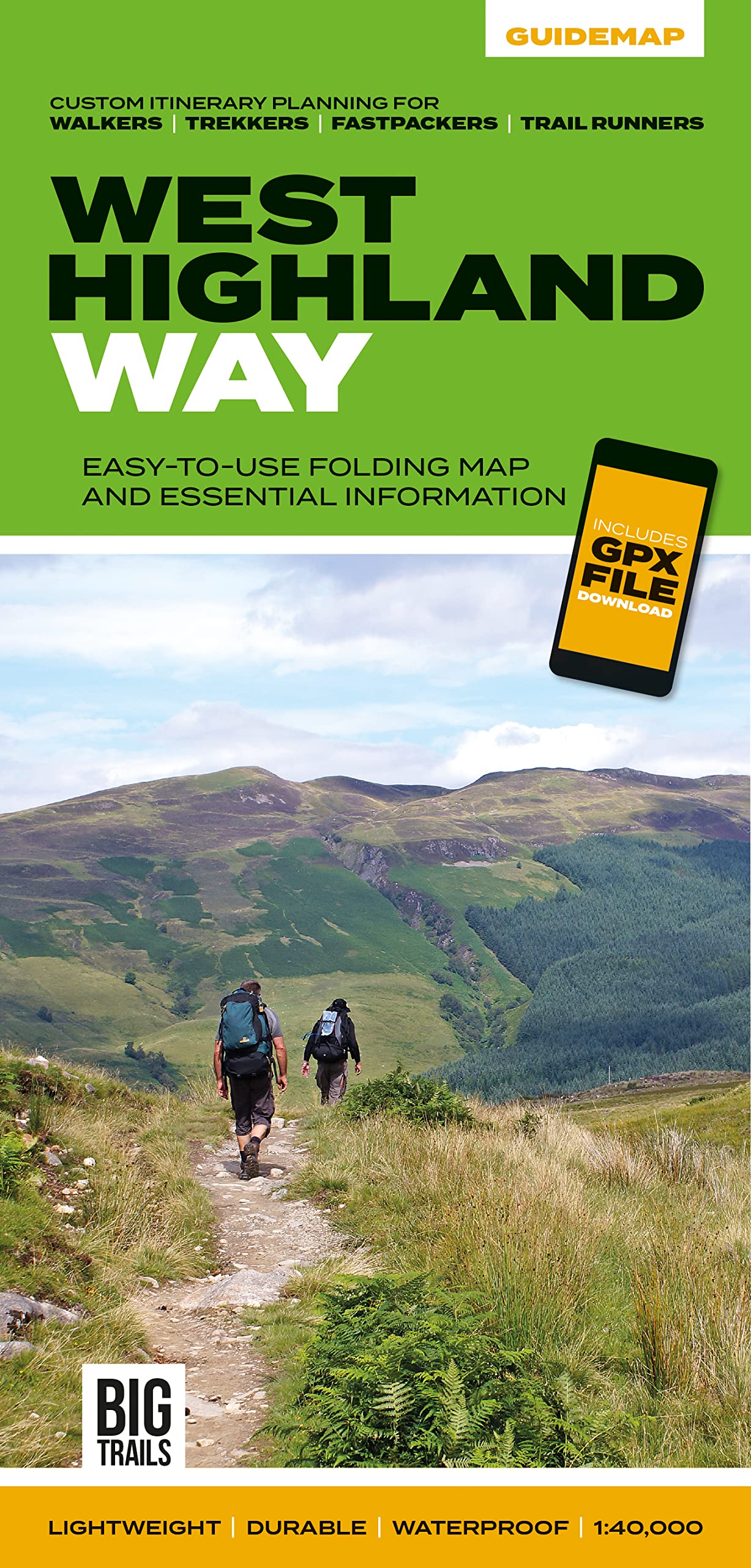
  • West Highland Way
  • Easy-to-use folding map and essential information, with custom itinerary planning for walkers, trekkers, fastpackers and trail runners Leer más
De Zwerver
Netherlands
2020
  • Wandelkaart West Highland Way | Vertebrate Publishing
  • The 153-kilometre West Highland Way encompasses the variety of Scotland`s wild places. The route, which begins in Milngavie and finishes in Fort William, passes from Glasgow, Scotland`s friendliest city, through lochs and forests, and across wild moors in the shadows of Munros. Offering panoramic views and clear waymarking, it is no wonder this... Leer más
» Click to close
Stanfords
United Kingdom
2013
» Click to open
The Book Depository
United Kingdom
2013
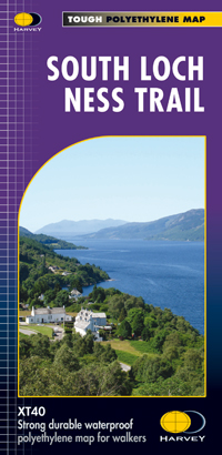
  • South Loch Ness Trail
  • The South Loch Ness Trail, a 45km / 28 mile long hiking route from Loch Tarff near Fort Augustus on the southern tip of Loch Ness to Torbreck on the outskirts of Inverness at 1:40,000 on GPS compatible, light, waterproof and tear-resistant map from Harvey Map Services. The map also highlights the course of the Trail of the 7 Lochs, an 80km / 50... Leer más
De Zwerver
Netherlands
2013
  • Wandelkaart South Loch Ness Trail | Harvey Maps
  • The South Loch Ness Trail, a 45km / 28 mile long hiking route from Loch Tarff near Fort Augustus on the southern tip of Loch Ness to Torbreck on the outskirts of Inverness at 1:40,000 on GPS compatible, light, waterproof and tear-resistant map from Harvey Map Services. The map also highlights the course of the Trail of the 7 Lochs, an 80km / 50... Leer más
» Click to close
Stanfords
United Kingdom
» Click to open
The Book Depository
United Kingdom
» Click to close
Stanfords
United Kingdom
2018
» Click to open
The Book Depository
United Kingdom
2018
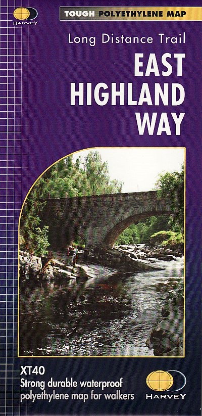
  • East Highland Way
  • East Highland Way, a 132km / 82 miles trail on a light, waterproof and tear-resistant map at 1:40,000 from Harvey Map Services presenting the route accompanied by extensive additional tourist information. The route links Fort Williams, the northern point of the West Highland Way and the southern point of the Great Glen Way, with Aviemore, the... Leer más
De Zwerver
Netherlands
2018
  • Wandelkaart East Highland Way | Harvey Maps
  • East Highland Way, a 132km / 82 miles trail on a light, waterproof and tear-resistant map at 1:40,000 from Harvey Map Services presenting the route accompanied by extensive additional tourist information. The route links Fort Williams, the northern point of the West Highland Way and the southern point of the Great Glen Way, with Aviemore, the... Leer más
» Click to close
Stanfords
United Kingdom
» Click to open
The Book Depository
United Kingdom
» Click to close
Stanfords
United Kingdom
» Click to open
The Book Depository
United Kingdom
De Zwerver
Netherlands
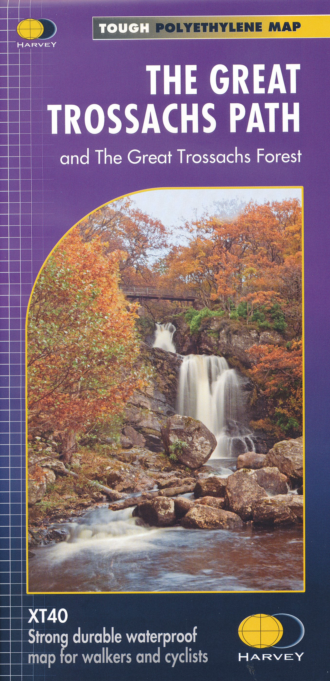
  • Wandelkaart The Great Trossachs Path | Harvey Maps
  • The Great Trossachs Path, a 48km / 30 mile long spur off the West Highlight Way linking Inversnaid on Lomond with Callander presented at 1:40,000 on a GPS compatible, light, waterproof and tear-resistant map from Harvey Map Services. The route which runs along the shores of Loch Arklet, Loch Katrine, Loch Achray and Loch Venachar and links in... Leer más
» Click to close
Stanfords
United Kingdom
» Click to open
The Book Depository
United Kingdom
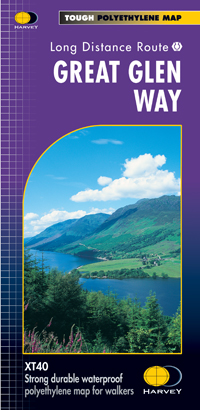
  • Great Glen Way
  • Great Glen Way, a 126km/79 miles trail from Fort William along Loch Ness to Inverness, presented at 1:40,000 on a light, waterproof and tear-resistant map from Harvey Map Services. The whole route is covered on four overlapping panels, and includes street plans of Fort William (showing the start/end of the West Highland Way) and Inverness. Map... Leer más
De Zwerver
Netherlands
  • Wandelkaart Great Glen Way | Harvey Maps
  • Great Glen Way, a 126km/79 miles trail from Fort William along Loch Ness to Inverness, presented at 1:40,000 on a light, waterproof and tear-resistant map from Harvey Map Services. The whole route is covered on four overlapping panels, and includes street plans of Fort William (showing the start/end of the West Highland Way) and Inverness. Map... Leer más
» Click to close
Stanfords
United Kingdom
» Click to open
The Book Depository
United Kingdom
De Zwerver
Netherlands
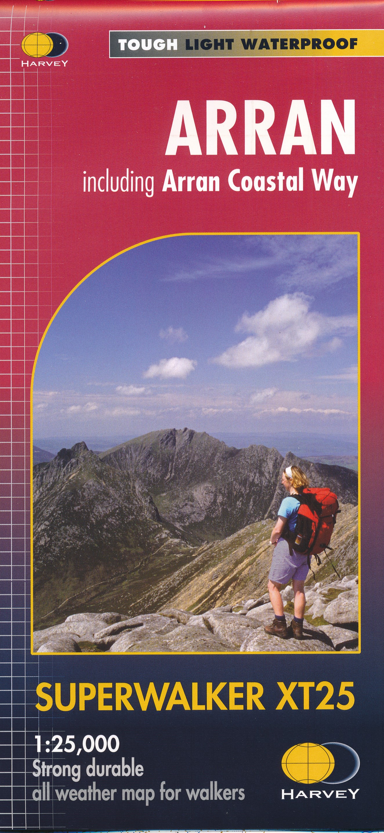
  • Wandelkaart Arran including Arran Coastal Way | Harvey Maps
  • The Scottish island of Arran at 1:25,000 on a double-sided, a waterproof and tear-resistant, GPS compatible map from Harvey Map Services in their Superwalker series, with highlighting for the Arran Coastal Way and a list of archaeological and historical sites. The map divides the island east/west, with a good overlap between the sides. The... Leer más
» Click to close
Stanfords
United Kingdom
2010
» Click to open
The Book Depository
United Kingdom
2010
De Zwerver
Netherlands
2010
» Click to close