Stanfords
United Kingdom
Stanfords
United Kingdom
Stanfords
United Kingdom
Stanfords
United Kingdom
Stanfords
United Kingdom
2017
Stanfords
United Kingdom
Stanfords
United Kingdom
Stanfords
United Kingdom
Stanfords
United Kingdom
2020
» Click to open
The Book Depository
United Kingdom
2020
De Zwerver
Netherlands
2020
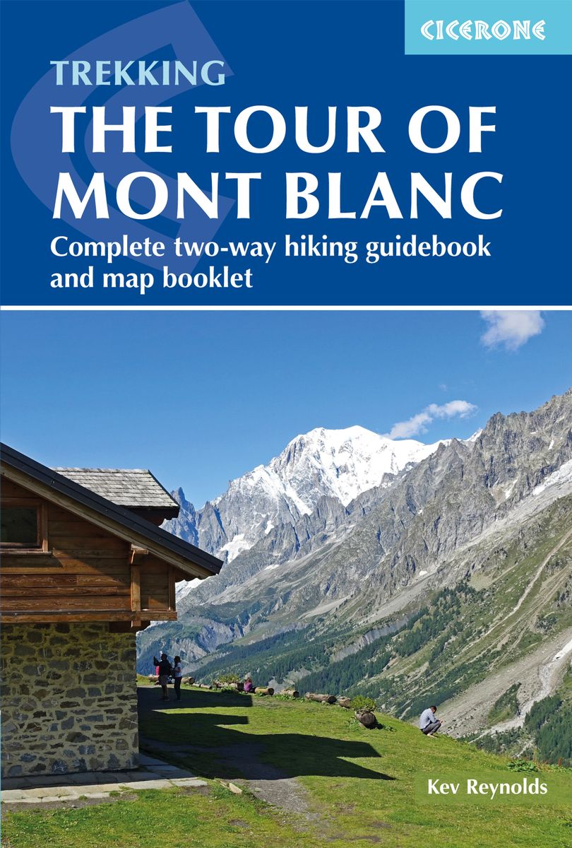
  • Wandelgids Tour of Mont Blanc | Cicerone
  • The Tour of Mont Blanc is one of the world`s classic treks. This guidebook to hiking the 170km TMB contains in-depth route description and mapping for both the classic 11 day anti-clockwise circuit and an alternative 10 day clockwise circuit. This well-signed but demanding route, starting from Les Houches or Champex, is suitable for fit... Leer más
» Click to close
Stanfords
United Kingdom
» Click to open
The Book Depository
United Kingdom
  • Leman et Mont Blanc entre - Chablais Faucigny
  • Selected tourist regions of the France on GPS compatible, contoured TOP 75 maps at 1:75,000 from the IGN, highlighting local and long-distance hiking paths, cycling routes and sites for other recreational activities. Each title includes five large panels with mapping at 1:25,000 to cover its most popular areas in greater detail. Cartography of... Leer más
De Zwerver
Netherlands
» Click to close
Stanfords
United Kingdom
2020
» Click to open
The Book Depository
United Kingdom
2020
  • Tour et travers�es du Massif des Bauges GR96/GRP
  • Tours et Traversées du Massif des Bauges, FFRP topoguide Ref. no. 902, covering 500kms of routes in the French Alps between Annecy, Aix-les-Bains, Chambéry and Albertville. Current edition of this title was published in May 2015.ABOUT THE FFRP (Fédération française de la randonnée pédestre) TOPOGUIDES: published in a handy A5 paperback format,... Leer más
» Click to close
The Book Depository
United Kingdom
2019
» Click to open
» Click to close
De Zwerver
Netherlands
2018
Stanfords
United Kingdom
» Click to open
De Zwerver
Netherlands
» Click to close
Stanfords
United Kingdom
2018
» Click to open
De Zwerver
Netherlands
2018
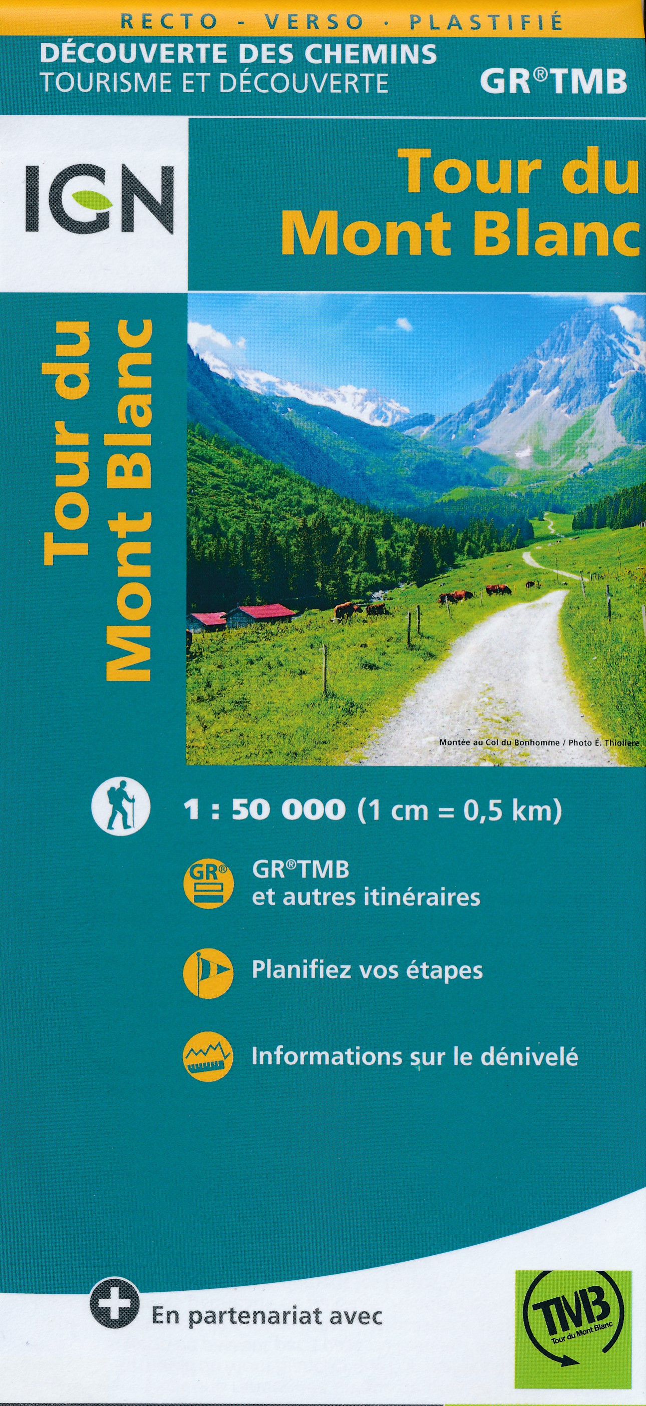
  • Wandelkaart Tour du Mont Blanc | IGN - Institut Géographique National
  • Goede, handzame, tweezijdig bedrukte kaart van de Tour du Mont Blanc Tour (TMB) met hoogte profielen en ingetekende route. 3 landen: Frankrijk, Italië en Zwitserland totale lengte 170 kilometer Inclusief 10.000 meter hoogteverschil Schaal 1: 50.000 (1 cm = 500 m) Een onmisbare hulp bij de voorbereiding van de route: de etappen, accommodaties,... Leer más
» Click to close