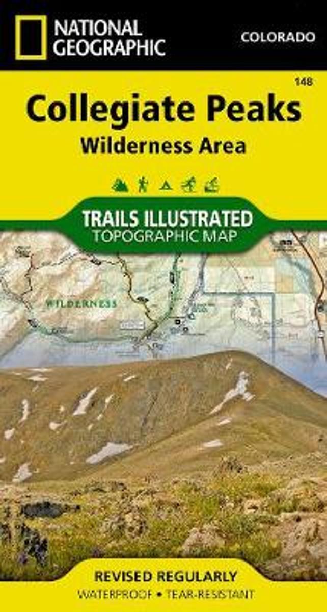
Map No. 148, Collegiate Peaks Wildernes, CO, in an extensive series of GPS compatible, contoured hiking maps of USA’s national and state parks or forests and other popular recreational areas. Cartography based on the national topographic survey, with additional tourist information.The maps, with most titles now printed on light, waterproof and...Leer más
Waterproof Tear-Resistant Topographic MapNational Geographic's Trails Illustrated map of Collegiate Peaks Wilderness is a two-sided, waterproof map designed to meet the needs of outdoor enthusiasts with unmatched durability and detail. This map was created in conjunction with local land management agencies and is loaded with valuable...Leer más
Waterproof Tear-Resistant Topographic MapNational Geographic's Trails Illustrated map of Collegiate Peaks Wilderness is a two-sided, waterproof map designed to meet the needs of outdoor enthusiasts with unmatched durability and detail. This map was created in conjunction with local land management agencies and is loaded with valuable...Leer más
A hike for everyone! Enjoy parts or all of the 469-mile trail through 7 national forests, 6 wilderness areas, 5 major river systems, and 8 mountain ranges. It runs from outside of Denver to Durango in south-western Colorado.Leer más
A hike for everyone! Enjoy parts or all of the 469-mile trail through 7 national forests, 6 wilderness areas, 5 major river systems, and 8 mountain ranges. It runs from outside of Denver to Durango in south-western Colorado.Leer más
Book two in the Journey series, this volume is filled with stories and ultralight backpacking tips from Carol "Brawny" Wellman. Trail descriptions for the Pacific Crest Trail, Appalachian Trail, John Muir Trail, Continental Divide Trail, Colorado Trail, Vermont Trail, Bartram Trail, including trail guide, plus the Foothills Trail. Learn how to...Leer más
Book two in the Journey series, this volume is filled with stories and ultralight backpacking tips from Carol "Brawny" Wellman. Trail descriptions for the Pacific Crest Trail, Appalachian Trail, John Muir Trail, Continental Divide Trail, Colorado Trail, Vermont Trail, Bartram Trail, including trail guide, plus the Foothills Trail. Learn how to...Leer más
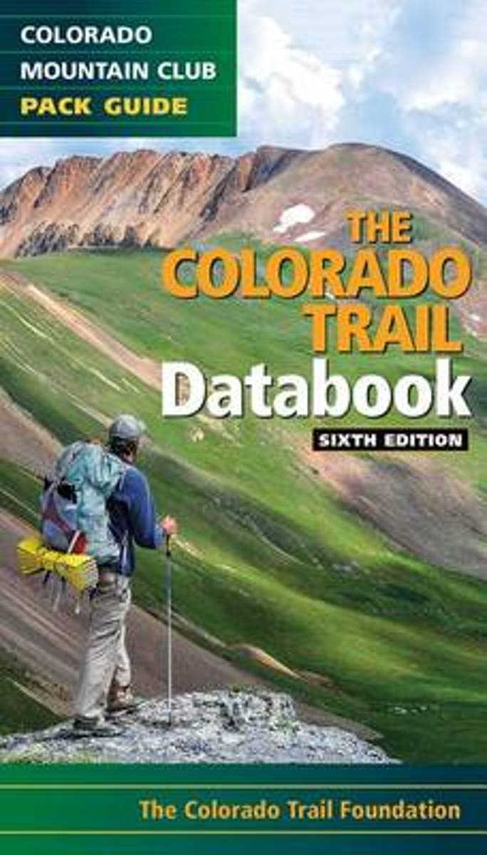
Here's the data that every Colorado Trail day hiker or thru-hiker will want with them on the route: trailheads, road crossings, trail intersections, stream crossings, water sources, campsite locations, viewpoints, elevation, and resupply towns. This sixth edition features up to date information on the new trail alignment of the Collegiate West...Leer más
Here's the data that every Colorado Trail day hiker or thru-hiker will want with them on the route: trailheads, road crossings, trail intersections, stream crossings, water sources, campsite locations, viewpoints, elevation, and resupply towns. This sixth edition features up to date information on the new trail alignment of the Collegiate West...Leer más
Head out for adventure on the unpaved back roads of America with Nick Legans complete guide to gravel grinders and bikepacking!Gravel cycling is a glorious return to the purest roots of two-wheeled adventure. From farm roads and miners paths to the high passes of the Rockies and the Alps, gravel cycling and bikepacking will set you free to...Leer más
Head out for adventure on the unpaved back roads of America with Nick Legans complete guide to gravel grinders and bikepacking!Gravel cycling is a glorious return to the purest roots of two-wheeled adventure. From farm roads and miners paths to the high passes of the Rockies and the Alps, gravel cycling and bikepacking will set you free to...Leer más
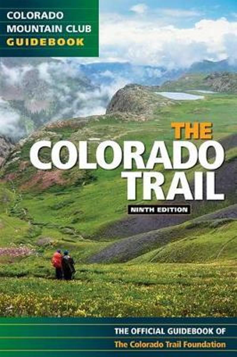
Exploring all 468 miles of the Colorado Trail, this official guidebook is updated with the latest information on dozens of side trips, nearby towns, natural history, and safety considerations. Includes handy trip logs and full-color maps with GPS coordinates for each of the 28 segments. 86 color photos.Leer más
Exploring all 468 miles of the Colorado Trail, this official guidebook is updated with the latest information on dozens of side trips, nearby towns, natural history, and safety considerations. Includes handy trip logs and full-color maps with GPS coordinates for each of the 28 segments. 86 color photos.Leer más
After landing the perfect job, Wellman drives to Maine where she spends five months living off grid, teaching Leave No Trace and confronting both men and moose in hilarious, behind the scene stories of what being a Ridgerunner on the Appalachian Trail really means. Known to the hiking community by her trail name 'Brawny', she has thru hiked the...Leer más
After landing the perfect job, Wellman drives to Maine where she spends five months living off grid, teaching Leave No Trace and confronting both men and moose in hilarious, behind the scene stories of what being a Ridgerunner on the Appalachian Trail really means. Known to the hiking community by her trail name 'Brawny', she has thru hiked the...Leer más