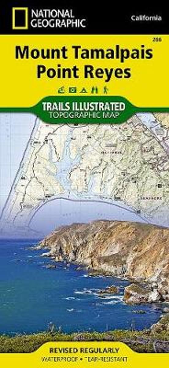
Map No. 266, Mount Tamalpais and Point Reyes, CA, in an extensive series of GPS compatible, contoured hiking maps of USA’s national and state parks or forests and other popular recreational areas. Cartography based on the national topographic survey, with additional tourist information.The maps, with most titles now printed on light, waterproof...Leer más
Waterproof Tear-Resistant Topographic MapNational Geographic's Trails Illustrated map of Mount Tamalpais and Point Reyes is a two-sided, waterproof map designed to meet the needs of outdoor enthusiasts with unmatched durability and detail. This map was created in conjunction with local land management agencies and is loaded with valuable...Leer más
Waterproof Tear-Resistant Topographic MapNational Geographic's Trails Illustrated map of Mount Tamalpais and Point Reyes is a two-sided, waterproof map designed to meet the needs of outdoor enthusiasts with unmatched durability and detail. This map was created in conjunction with local land management agencies and is loaded with valuable...Leer más
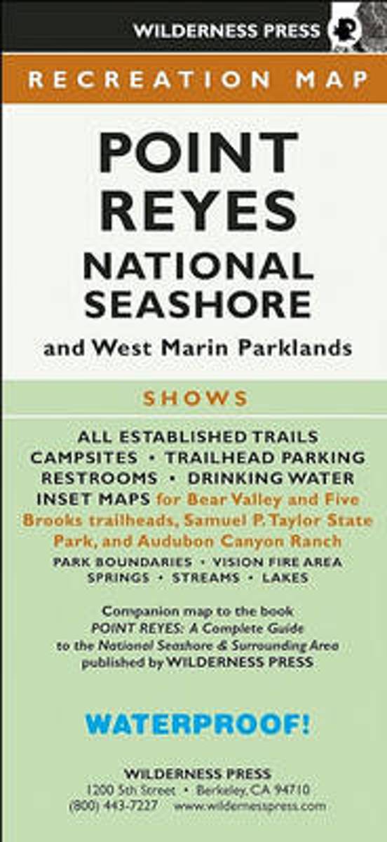
Find your way around Point Reyes National Seashore and vicinity with this topographic map showing every major road, trailhead, and trail in the park. This 4-color map shows all established campgrounds, picnic and parking areas, restrooms, telephones, and visitor centers. Also covers Samuel P. Taylor State Park, Audubon Canyon Ranch, Tomales Bay...Leer más
Find your way around Point Reyes National Seashore and vicinity with this topographic map showing every major road, trailhead, and trail in the park. This 4-color map shows all established campgrounds, picnic and parking areas, restrooms, telephones, and visitor centers. Also covers Samuel P. Taylor State Park, Audubon Canyon Ranch, Tomales Bay...Leer más