Kreuzeckgruppe
Descripción

The Kreuzeck Group is part of the Hohe Tauern, but not part of the mobs. This group is located on the south side of the central eastern Alps. The highest summit is Polinik (2.784 m), which is of course no match for the ice and rock palaces of the northern part of the Hohe Tauern.
So, let's forget about the Kreuzeckgruppe? Well, no! On the plus side, we should be mentioned that the area is very quiet and high enough to feel alone in the mountains. Apart from farming, there is not much economy, nor a population of any size.
Mapa

Senderos en región
Enlaces
Datos
Informes
Guías y mapas
Hospedaje
Organizaciones
Operadores turísticos
GPS
Otro
Libros
De Zwerver
Netherlands
2024
Netherlands
2024
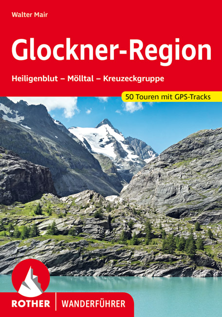
- Wandelgids Glockner-Region | Rother Bergverlag
- Uitstekende wandelgids met een groot aantal dagtochten in dal en hooggebergte. Met praktische informatie en beperkt kaartmateriaal! Wandelingen in verschillende zwaarte weergegeven in rood/blauw/zwart. Der höchste und wohl schönste Berg Österreichs, der Großglockner, bildet die spektakuläre Kulisse für ein außergewöhnlich reizvolles... Leer más
Mapas

Stanfords
United Kingdom
United Kingdom
- Mölltal - Kreuzeckgruppe - Drautal F&B WK225
- Mölltal - Kreuzeckgruppe - Drautal area of Carinthia presented at 1:50,000 in a series of contoured and GPS compatible outdoor leisure map from Freytag & Berndt with hiking and cycling routes, mountain huts, campsites and youth hostels, local bus stops, plus other tourist information.To see the list of currently available titles in this series... Leer más

Stanfords
United Kingdom
United Kingdom
- Ebermannstadt E10
- Ebermannstadt in a series of GPS compatible recreational editions of the Bavarian topographic survey at 1:25,000, with waymarked hiking trails and cycling routes, campsites and youth hostels, etc. Coverage includes Gößweinstein, Waischenfeld, Wiesenttal, Pottenstein, Pretzfeld, Heiligenstadt i.OFr.Contours used in this map vary between 5 to 20m... Leer más

Stanfords
United Kingdom
United Kingdom
- Carinthian Alps - Gailtal - Gitschtal - Nassfeld - Lesachtal - Weissensee - Upper Drautal F&B WK223
- Naturarena Kärnten - Gailtal - Gitschtal -Lesachtal - Weissensee - Oberes Drautal area of Carinthia presented at 1:50,000 in a series of contoured and GPS compatible outdoor leisure map from Freytag & Berndt with hiking and cycling routes, mountain huts, campsites and youth hostels, local bus stops, plus other tourist information.To see the... Leer más
- Also available from:
- The Book Depository, United Kingdom

The Book Depository
United Kingdom
United Kingdom
De Zwerver
Netherlands
2022
Netherlands
2022
De Zwerver
Netherlands
2022
Netherlands
2022
Más mapas…