
Wyoming
Descripción
Wyoming is a true mountain state, with the Rocky Mountains, glaciers, but also badlands and deserts. And of course the Yellowstone National Park. The main hiking area is the northwest.
Yellowstone is famous, but try to avoid the tourist traps. Better to choose the trails in the outer parts of the park. Another hit is the Grand Teton National Park, and the adjacent National Forest with the same name. The Bridger-Teton National Forest has large wilderness areas. And finally the glacier rich Shoshone National Forest. These parks count for more than 6000 miles of hiking trails.
Wyoming has its share of the famous Continental Divide Trail, and also of the Great Western Trail. The place to be!
Mapa

Senderos en estado
Enlaces
Datos
Informes
Guías y mapas
Hospedaje
Organizaciones
Operadores turísticos
GPS
Otro
Libros

Stanfords
United Kingdom
United Kingdom
- Cloud Peak Wilderness WY
- Map No. 720, Cloud Peak Wilderness in Wyoming, at 1:45,000 in an extensive series of GPS compatible, contoured hiking maps of USA’s national and state parks or forests and other popular recreational areas. Cartography based on the national topographic survey, with additional tourist information.The maps, with most titles now printed on light,... Leer más

The Book Depository
United Kingdom
United Kingdom
- Hiking the Black Hills Country
- A Guide To More Than 50 Hikes In South Dakota And Wyoming Leer más

The Book Depository
United Kingdom
United Kingdom
- Hiking Wyoming
- A Guide to the State's Greatest Hiking Adventures Leer más

The Book Depository
United Kingdom
2022
United Kingdom
2022
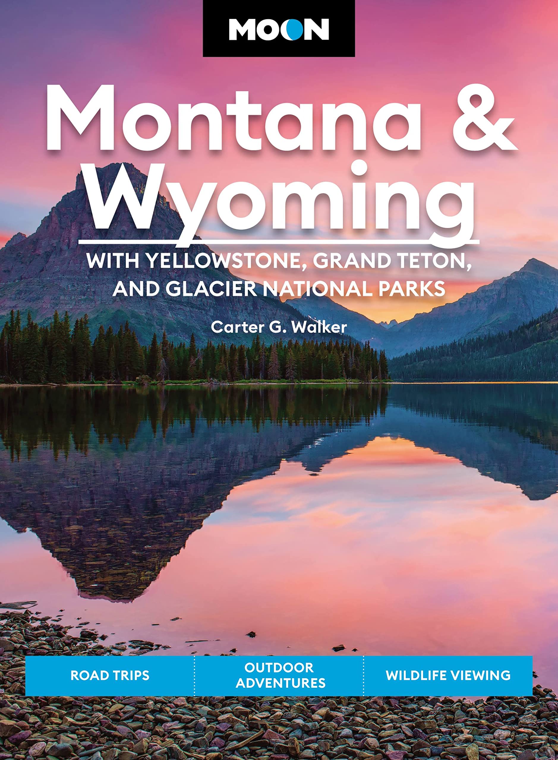
- Moon Montana & Wyoming: With Yellowstone, Grand Teton & Glacier National Parks (Fifth Edition)
- Road Trips, Outdoor Adventures, Wildlife Viewing Leer más
- Also available from:
- De Zwerver, Netherlands
De Zwerver
Netherlands
2022
Netherlands
2022
- Reisgids Montana - Wyoming | Moon Travel Guides
- Road Trips, Outdoor Adventures, Wildlife Viewing Leer más

Bol.com
Netherlands
Netherlands
- Mountain Biking Jackson Hole
- Mountain bike through some of the most spectacular scenery on the planet. Because Jackson Hole is surrounded by National Forest and National Park land, mountain biking opportunities are endless. Mountain Biking Jackson Hole features 31 of the best rides in the area. From Hoback Canyon to Teton Pass to the Snake River Range, mountain bikers are... Leer más
- Also available from:
- Bol.com, Belgium
Bol.com
Belgium
Belgium
- Mountain Biking Jackson Hole
- Mountain bike through some of the most spectacular scenery on the planet. Because Jackson Hole is surrounded by National Forest and National Park land, mountain biking opportunities are endless. Mountain Biking Jackson Hole features 31 of the best rides in the area. From Hoback Canyon to Teton Pass to the Snake River Range, mountain bikers are... Leer más
Bol.com
Netherlands
Netherlands
- Continental Divide Trail [Laminated]
- National Geographic's map of the Continental Divide Trail is ideal for fans and hikers of this magnificent National Scenic Trail. It makes a great planning tool or as reference to track progress on the 3,100 plus mile length. This beautiful map shows the entire length of the trail from Mexico to Canada through New Mexico, Colorado, Wyoming,... Leer más
- Also available from:
- Bol.com, Belgium
Bol.com
Belgium
Belgium
- Continental Divide Trail [Laminated]
- National Geographic's map of the Continental Divide Trail is ideal for fans and hikers of this magnificent National Scenic Trail. It makes a great planning tool or as reference to track progress on the 3,100 plus mile length. This beautiful map shows the entire length of the trail from Mexico to Canada through New Mexico, Colorado, Wyoming,... Leer más
Bol.com
Netherlands
Netherlands
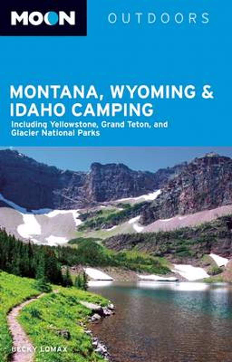
- Moon Montana, Wyoming & Idaho Camping (3rd ed)
- Outdoors writer-photographer Becky Lomax uses her experience as a skier, hiker, kayaker, and bicycler to capture the adventures of camping in Montana, Wyoming, and Idaho. Lomax provides insight on the picturesque Glacier National Park, the incredible wildlife of Northwest Montana, and the high winds that characterize the Rocky Mountain Front.... Leer más
- Also available from:
- Bol.com, Belgium
Bol.com
Belgium
Belgium
- Moon Montana, Wyoming & Idaho Camping (3rd ed)
- Outdoors writer-photographer Becky Lomax uses her experience as a skier, hiker, kayaker, and bicycler to capture the adventures of camping in Montana, Wyoming, and Idaho. Lomax provides insight on the picturesque Glacier National Park, the incredible wildlife of Northwest Montana, and the high winds that characterize the Rocky Mountain Front.... Leer más
Bol.com
Netherlands
Netherlands
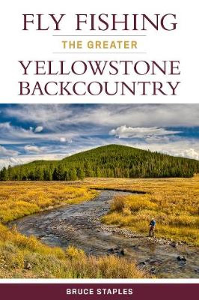
- Fly Fishing the Greater Yellowstone Backcountry
- Yellowstone National Park is one of the most crowded parks in the country, and for good reason: breathtaking scenery, amazing wildlife, and for anglers, great fishing. Yet, even a short hike from the road or trailhead into the backcountry of the park and the surrounding area can put anglers into even better fishing, often in solitude. This... Leer más
- Also available from:
- Bol.com, Belgium
Bol.com
Belgium
Belgium
- Fly Fishing the Greater Yellowstone Backcountry
- Yellowstone National Park is one of the most crowded parks in the country, and for good reason: breathtaking scenery, amazing wildlife, and for anglers, great fishing. Yet, even a short hike from the road or trailhead into the backcountry of the park and the surrounding area can put anglers into even better fishing, often in solitude. This... Leer más

- Also available from:
- Bol.com, Belgium
Bol.com
Netherlands
Netherlands
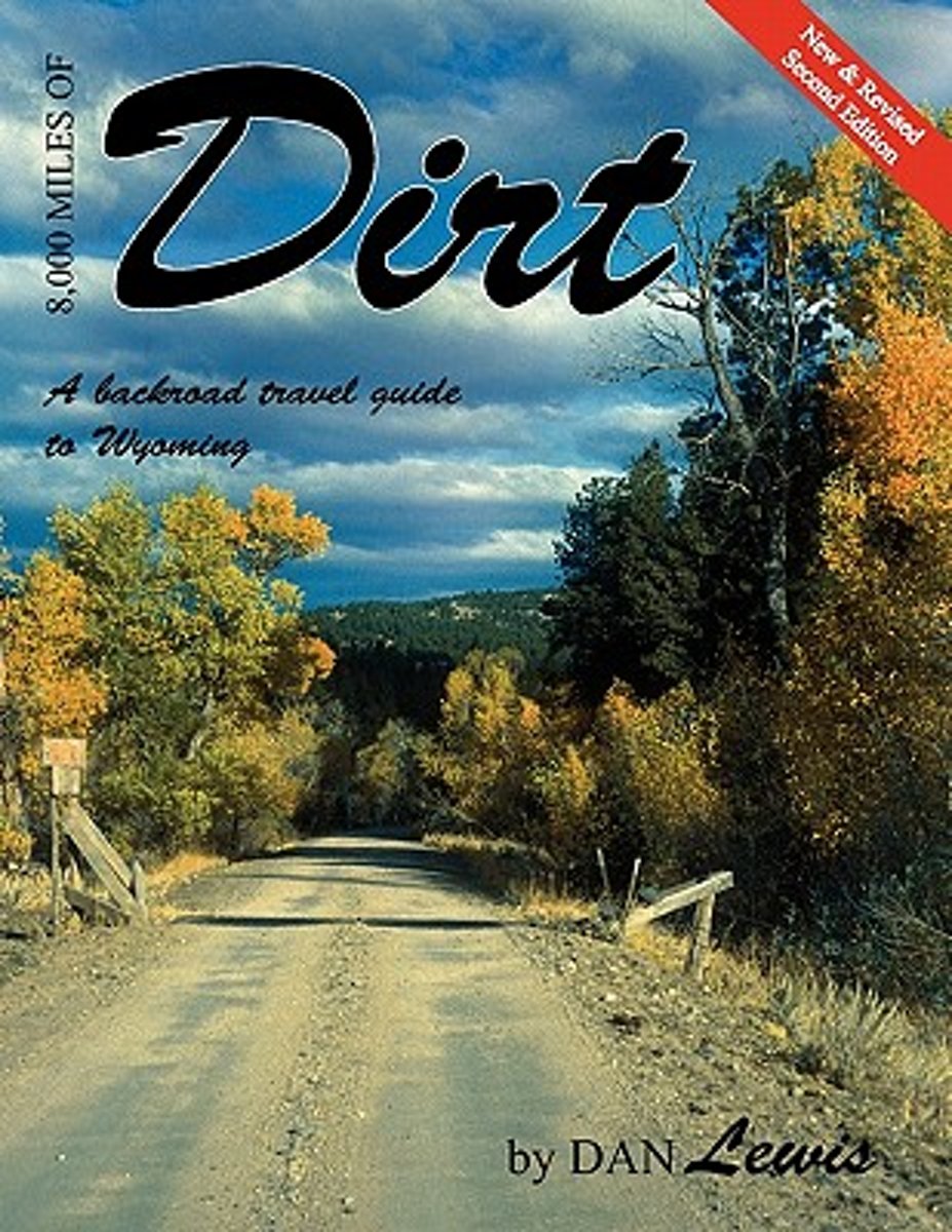
- 8,000 Miles of Dirt
- 8,000 Miles of Dirt is the backroad travel guide describing 140 of Wyoming's scenic country byways. This new and revised Second Edition contains more than 120 photographs and 140 maps detailing each individual trip. 8,000 Miles of Dirt is the required travel guide and source book for: Natives, Photographers, Bushwhackers, Rock hounds, Tourists,... Leer más
- Also available from:
- Bol.com, Belgium
Bol.com
Belgium
Belgium
- 8,000 Miles of Dirt
- 8,000 Miles of Dirt is the backroad travel guide describing 140 of Wyoming's scenic country byways. This new and revised Second Edition contains more than 120 photographs and 140 maps detailing each individual trip. 8,000 Miles of Dirt is the required travel guide and source book for: Natives, Photographers, Bushwhackers, Rock hounds, Tourists,... Leer más
Bol.com
Netherlands
Netherlands
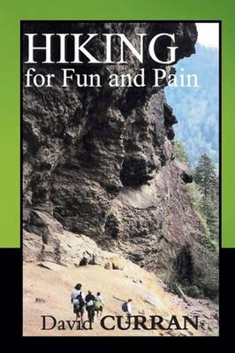
- Hiking for Fun and Pain
- You'll find adventure, inspiration, fatigue, humor, and sometimes danger in David Curran's essays that cover a lifetime of exploration in the mountains of Tennessee, Wyoming, and New England. Hiking for Fun and Pain gives the basics of the sport and includes vivid accounts of David's experiences on the trails, all described in a humorous and... Leer más
- Also available from:
- Bol.com, Belgium
Bol.com
Belgium
Belgium
- Hiking for Fun and Pain
- You'll find adventure, inspiration, fatigue, humor, and sometimes danger in David Curran's essays that cover a lifetime of exploration in the mountains of Tennessee, Wyoming, and New England. Hiking for Fun and Pain gives the basics of the sport and includes vivid accounts of David's experiences on the trails, all described in a humorous and... Leer más
Bol.com
Netherlands
Netherlands
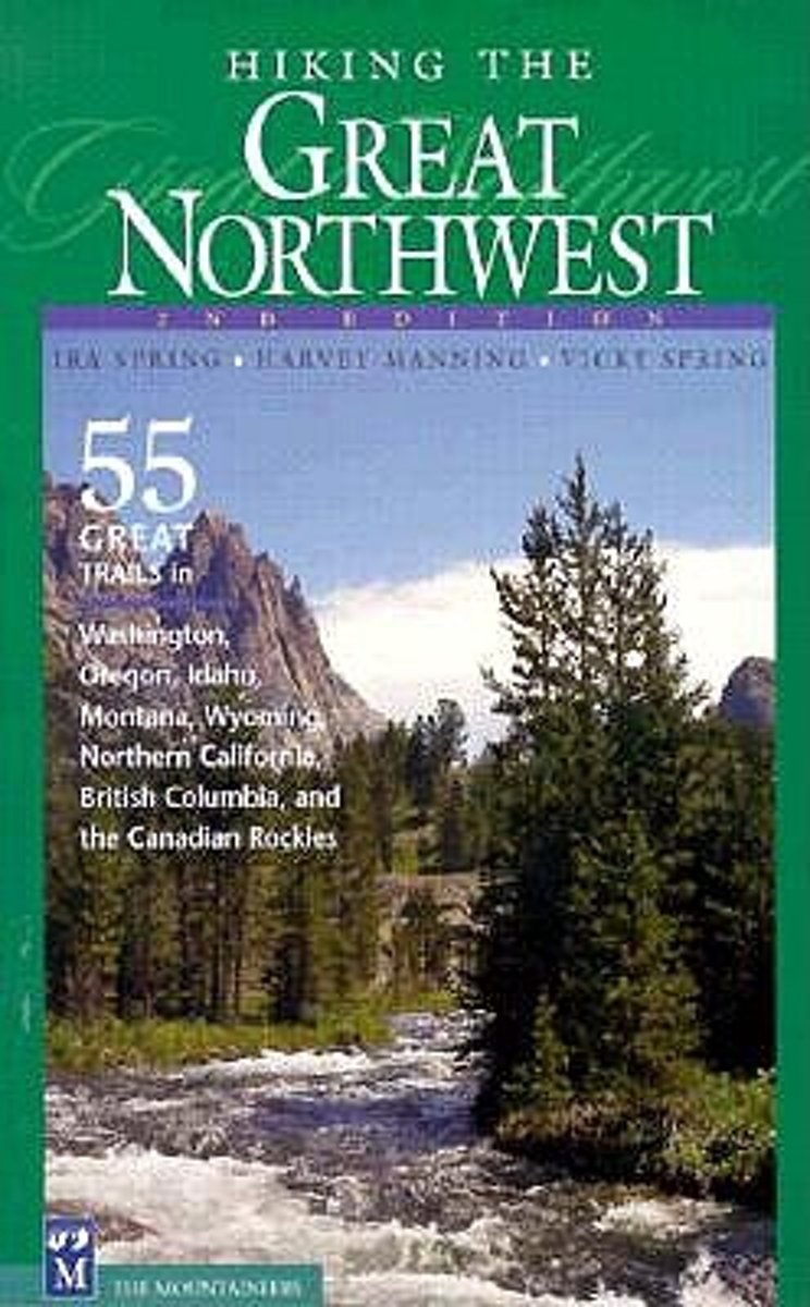
- Hiking the Great Northwest
- * Highlights the most spectacular trails in six states and two provinces * Personal picks of a trail-tested team of Northwest hiking icons Hiking the Great Nothwest is a collection of classic hikes and trails in the Pacific Northwest, as selected by the late godfathers of Northwest hiking, Ira Spring and Harvey Manning. Hikes in Washington's... Leer más
- Also available from:
- Bol.com, Belgium
Bol.com
Belgium
Belgium
- Hiking the Great Northwest
- * Highlights the most spectacular trails in six states and two provinces * Personal picks of a trail-tested team of Northwest hiking icons Hiking the Great Nothwest is a collection of classic hikes and trails in the Pacific Northwest, as selected by the late godfathers of Northwest hiking, Ira Spring and Harvey Manning. Hikes in Washington's... Leer más

The Book Depository
United Kingdom
United Kingdom
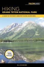
- Hiking Grand Teton National Park
- A Guide to the Park's Greatest Hiking Adventures Leer más
- Also available from:
- Bol.com, Netherlands
- Bol.com, Belgium
Bol.com
Netherlands
Netherlands
- Hiking Grand Teton National Park
- This is the authoritative guide to all hiking trails--from short, easy day trips to multi-day backcountry adventures--in Grand Teton National Park, famous for its rugged beauty, abundant wildlife and spectacular mountain vistas. Located in western Wyoming, Grand Teton National Park is one of America's true wilderness gems. Veteran hiker,... Leer más
Bol.com
Belgium
Belgium
- Hiking Grand Teton National Park
- This is the authoritative guide to all hiking trails--from short, easy day trips to multi-day backcountry adventures--in Grand Teton National Park, famous for its rugged beauty, abundant wildlife and spectacular mountain vistas. Located in western Wyoming, Grand Teton National Park is one of America's true wilderness gems. Veteran hiker,... Leer más
Bol.com
Netherlands
Netherlands
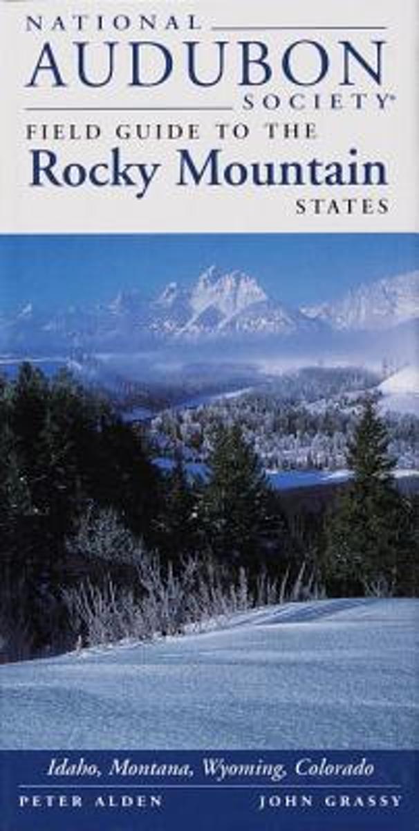
- National Audubon Society Field Guide to the Rocky Mountain States
- Filled with concise descriptions and stunning photographs, the National Audubon Society Field Guide to the Rocky Mountain States belongs in the home of every Rocky Mountainresident and in the suitcase or backpack of every visitor. This compact volume contains:An easy-to-use field guide for identifying 1,000 of the state's wildflowers, trees,... Leer más
- Also available from:
- Bol.com, Belgium
Bol.com
Belgium
Belgium
- National Audubon Society Field Guide to the Rocky Mountain States
- Filled with concise descriptions and stunning photographs, the National Audubon Society Field Guide to the Rocky Mountain States belongs in the home of every Rocky Mountainresident and in the suitcase or backpack of every visitor. This compact volume contains:An easy-to-use field guide for identifying 1,000 of the state's wildflowers, trees,... Leer más
Bol.com
Netherlands
Netherlands
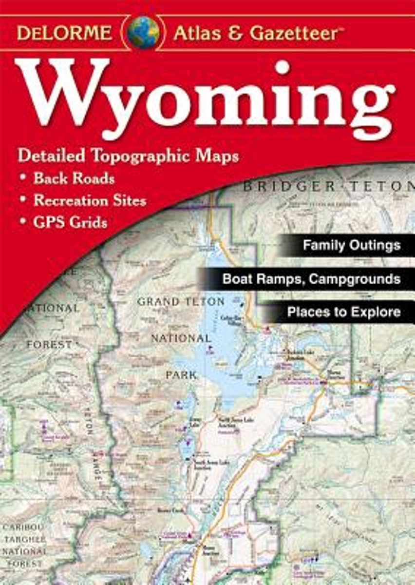
- Wyoming Atlas & Gazetteer
- A uniquely useful resource, the Atlas & Gazetteer* Series is great for information on camping, hiking, fishing, hunting, bike and motorcycle touring, birdwatching, back road exploration, and more. A guide is available for all 50 American states. Leer más
- Also available from:
- Bol.com, Belgium
Bol.com
Belgium
Belgium
- Wyoming Atlas & Gazetteer
- A uniquely useful resource, the Atlas & Gazetteer* Series is great for information on camping, hiking, fishing, hunting, bike and motorcycle touring, birdwatching, back road exploration, and more. A guide is available for all 50 American states. Leer más
Mapas

Stanfords
United Kingdom
United Kingdom
- Greater Yellowstone & Grand Teton Benchnark Maps Recreation Atlas & Guide
- Greater Yellowstone and Grand Teton Recreation Atlas & Guide from Benchmark Maps in an A4 paperback format, with coverage of the two parks on detailed, GPS compatible “Recreational” section at 1:100,000, regional map coverage of a wider area, plus a 10-page recreational guide with list of various facilities, etc.The more detailed “Landscape”... Leer más

Stanfords
United Kingdom
United Kingdom
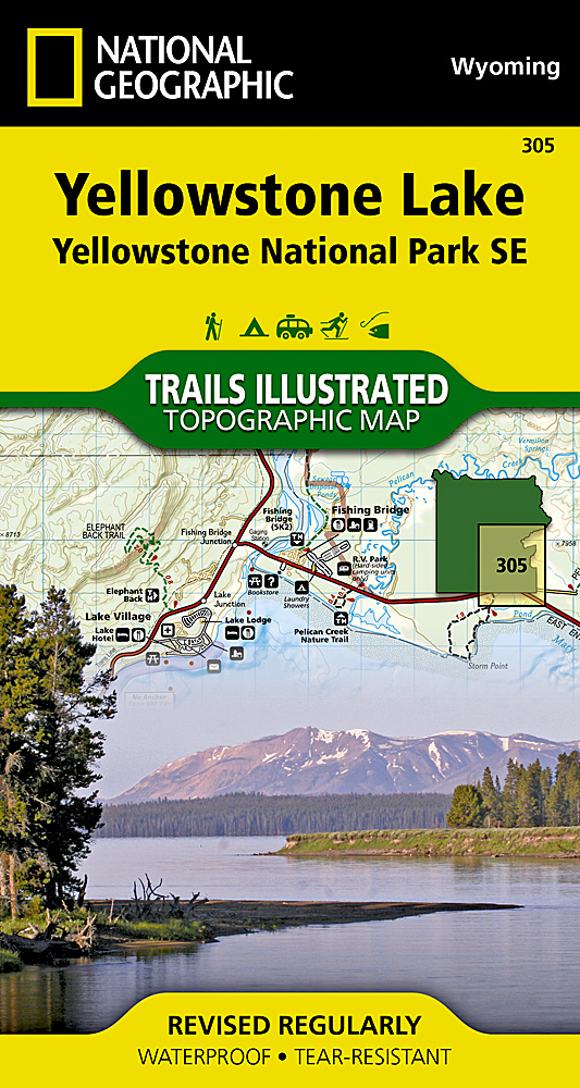
- Yellowstone Lake - Yellowstone National Park WY
- Map No. 305, Yellowstone SE: Yellowstone Lake in Wyoming, at 1:63.360 in an extensive series of GPS compatible, contoured hiking maps of USA’s national and state parks or forests and other popular recreational areas. Cartography based on the national topographic survey, with additional tourist information.The maps, with most titles now printed... Leer más
- Also available from:
- The Book Depository, United Kingdom
- De Zwerver, Netherlands

The Book Depository
United Kingdom
United Kingdom
- Yellowstone Se/yellowstone Lake
- Trails Illustrated National Parks Leer más
De Zwerver
Netherlands
Netherlands
- Wandelkaart 305 Yellowstone Lake | National Geographic
- Prachtige geplastificeerde kaart van het nationaal park. Met alle recreatieve voorzieningen als campsites, maar ook met topografische details en wandelroutes ed. Door uitgekiend kleurgebruik zeer prettig in gebruik. Scheur en watervast! Coverage of the Yellowstone Lake area of Yellowstone National Park includes Pelican Valley BMA, Clear Creek... Leer más

Stanfords
United Kingdom
United Kingdom
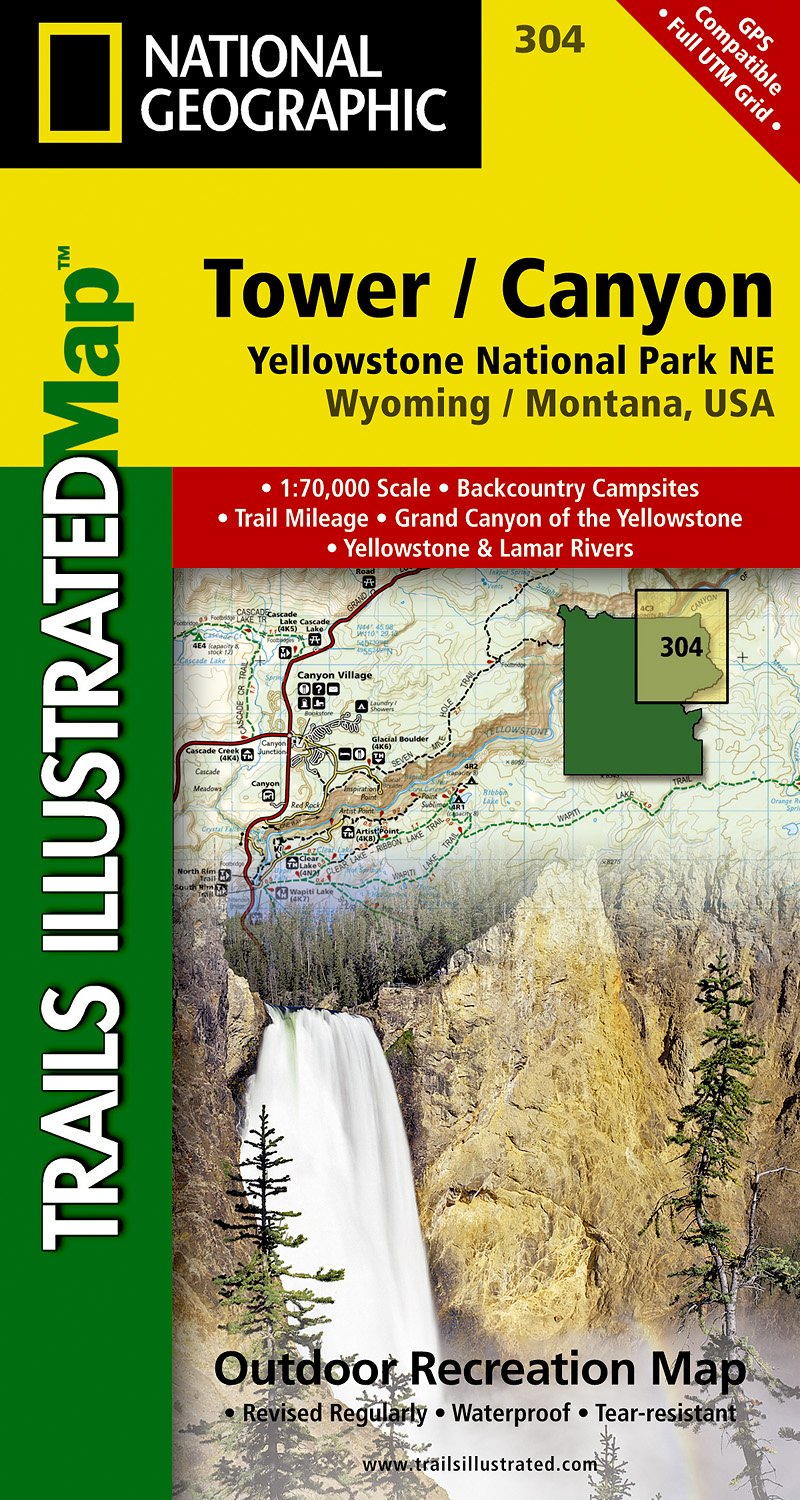
- Tower - Canyon - Yellowstone National Park WY/MT
- Map No. 304, Yellowstone NE: Tower/Canyon, WY/MT, in an extensive series of GPS compatible, contoured hiking maps of USA’s national and state parks or forests and other popular recreational areas. Cartography based on the national topographic survey, with additional tourist information.The maps, with most titles now printed on light, waterproof... Leer más
- Also available from:
- The Book Depository, United Kingdom
- De Zwerver, Netherlands

The Book Depository
United Kingdom
United Kingdom
- Yellowstone Ne/tower/canyon
- Trails Illustrated National Parks Leer más
De Zwerver
Netherlands
Netherlands
- Wandelkaart - Topografische kaart 304 Tower - Canyon - Yellowstone National Park NE | National Geographic
- Prachtige geplastificeerde kaart van het nationaal park. Met alle recreatieve voorzieningen als campsites, maar ook met topografische details en wandelroutes ed. Door uitgekiend kleurgebruik zeer prettig in gebruik. Scheur en watervast! Coverage of the Tower / Canyon area of Yellowstone National Park includes Canyon Village, Tower -... Leer más

Stanfords
United Kingdom
United Kingdom
- Old Faithful - Yellowstone National Park SW WY/MT
- Map No. 302, Yellowstone SW: Old Faithful, WY/MT, in an extensive series of GPS compatible, contoured hiking maps of USA’s national and state parks or forests and other popular recreational areas. Cartography based on the national topographic survey, with additional tourist information.The maps, with most titles now printed on light, waterproof... Leer más
- Also available from:
- The Book Depository, United Kingdom
- De Zwerver, Netherlands

The Book Depository
United Kingdom
United Kingdom
- Yellowstone Sw/old Faithful
- Trails Illustrated National Parks Leer más

De Zwerver
Netherlands
Netherlands
- Wandelkaart - Topografische kaart 302 Old Faithful, Yellowstone National Park SW | National Geographic
- Prachtige geplastificeerde kaart van het bekende nationaal park. Met alle recreatieve voorzieningen als campsites, maar ook met topografische details en wandelroutes ed. Door uitgekiend kleurgebruik zeer prettig in gebruik. Scheur en watervast! Beautiful waterproof and tear-resistant topographical hiking map of a well-loved National Park, with... Leer más

Stanfords
United Kingdom
United Kingdom
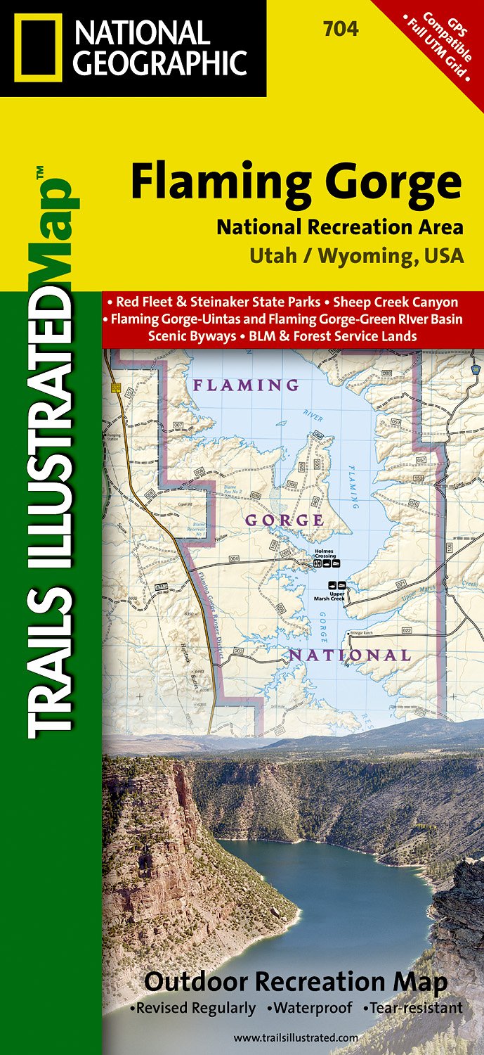
- Flaming Gorge - East Uintas UT/WY
- Map No. 704, Flaming Gorge - East Uintas, UT/WY, in an extensive series of GPS compatible, contoured hiking maps of USA’s national and state parks or forests and other popular recreational areas. Cartography based on the national topographic survey, with additional tourist information.The maps, with most titles now printed on light, waterproof... Leer más
- Also available from:
- The Book Depository, United Kingdom
- De Zwerver, Netherlands

The Book Depository
United Kingdom
United Kingdom
- Flaming Gorge/east Uintas
- Trails Illustrated Other Rec. Areas Leer más
De Zwerver
Netherlands
Netherlands
- Wandelkaart - Topografische kaart 704 Flaming Gorge National Recreation Area | National Geographic
- Prachtige geplastificeerde kaart van het bekende nationaal park. Met alle recreatieve voorzieningen als campsites, maar ook met topografische details en wandelroutes ed. Door uitgekiend kleurgebruik zeer prettig in gebruik. Scheur en watervast! Coverage includes Ashley National Forest; Flaming Gorge National Recreation Area; Eastern Uinta... Leer más

Stanfords
United Kingdom
United Kingdom
- Glacier - Waterton Lakes National Park MT
- Map No. 215, Glacier/Waterton Lakes National Park, MT, in an extensive series of GPS compatible, contoured hiking maps of USA’s national and state parks or forests and other popular recreational areas. Cartography based on the national topographic survey, with additional tourist information.The maps, with most titles now printed on light,... Leer más
- Also available from:
- Bol.com, Netherlands
- Bol.com, Belgium
- De Zwerver, Netherlands

Bol.com
Netherlands
Netherlands
- Glacier/waterton Lakes National Parks
- Waterproof Tear-Resistant Topographic MapNational Geographic's Trails Illustrated map of Glacier and Waterton Lakes National Parks offers unparalleled detail for outdoor enthusiasts exploring the pristine landscape of forests, mountains, lakes, and meadows within these two spectacular parks. Created in partnership with local land... Leer más
Bol.com
Belgium
Belgium
- Glacier/waterton Lakes National Parks
- Waterproof Tear-Resistant Topographic MapNational Geographic's Trails Illustrated map of Glacier and Waterton Lakes National Parks offers unparalleled detail for outdoor enthusiasts exploring the pristine landscape of forests, mountains, lakes, and meadows within these two spectacular parks. Created in partnership with local land... Leer más

De Zwerver
Netherlands
Netherlands
- Wandelkaart - Topografische kaart 215 Glacier - Waterton Lakes National Park | National Geographic
- Prachtige geplastificeerde kaart van het bekende nationaal park. Met alle recreatieve voorzieningen als campsites, maar ook met topografische details en wandelroutes ed. Door uitgekiend kleurgebruik zeer prettig in gebruik. Scheur en watervast! Waterton Lakes National Park, Canada includes Waterton Park, Upper and Middle Waterton Lakes, The... Leer más

De Zwerver
Netherlands
Netherlands
- Wegenkaart - landkaart Idaho, Montana & Wyoming | ITMB
- Idaho,Montana & Wyoming Travel Reference Map 1 : 1 000 000 ab 10.49 EURO International Travel Map ITM. 1st Edition Leer más

Stanfords
United Kingdom
United Kingdom
- Mammoth Hot Springs - Yellowstone National Park NW WY/MT
- Map No. 303, Yellowstone NW: Mammoth Hot Springs, WY/MT, in an extensive series of GPS compatible, contoured hiking maps of USA’s national and state parks or forests and other popular recreational areas. Cartography based on the national topographic survey, with additional tourist information.The maps, with most titles now printed on light,... Leer más
- Also available from:
- De Zwerver, Netherlands
De Zwerver
Netherlands
Netherlands
- Wandelkaart - Topografische kaart 303 Mammoth Hot Springs Yellowstone National Park | National Geographic
- Prachtige geplastificeerde kaart van het nationaal park. Met alle recreatieve voorzieningen als campsites, maar ook met topografische details en wandelroutes ed. Door uitgekiend kleurgebruik zeer prettig in gebruik. Scheur en watervast! Coverage of the Old Faithful area of Yellowstone National Park includes Heart Lake BMA, Pitchstone Plateau,... Leer más


Stanfords
United Kingdom
United Kingdom
- Yellowstone National Park WY/MT NGS Trails Illustrated Map 201
- Map No. 201, Yellowstone National Park, WY/MT, in an extensive series of GPS compatible, contoured hiking maps of USA’s national and state parks or forests and other popular recreational areas. Cartography based on the national topographic survey, with additional tourist information.The maps, with most titles now printed on light, waterproof... Leer más
- Also available from:
- The Book Depository, United Kingdom
- Bol.com, Netherlands
- Bol.com, Belgium
- De Zwerver, Netherlands

The Book Depository
United Kingdom
United Kingdom
- Yellowstone National Park
- Trails Illustrated National Parks Leer más

Bol.com
Netherlands
Netherlands
- Yellowstone National Park
- Waterproof Tear-Resistant Topographic MapNational Geographic's Trails Illustrated map of Yellowstone National Park is designed to meet the needs of outdoor enthusiasts by combining valuable information with unmatched detail of America's first national park. Expertly researched and created in partnership with local land management... Leer más
Bol.com
Belgium
Belgium
- Yellowstone National Park
- Waterproof Tear-Resistant Topographic MapNational Geographic's Trails Illustrated map of Yellowstone National Park is designed to meet the needs of outdoor enthusiasts by combining valuable information with unmatched detail of America's first national park. Expertly researched and created in partnership with local land management... Leer más

De Zwerver
Netherlands
Netherlands
- Wandelkaart - Topografische kaart 201 Trails Illustrated Yellowstone National Park | National Geographic
- Prachtige geplastificeerde kaart van het bekende nationaal park. Met alle recreatieve voorzieningen als campsites, maar ook met topografische details en wandelroutes ed. Door uitgekiend kleurgebruik zeer prettig in gebruik. Scheur en watervast! Detailed and accurate coverage for Yellowstone National Park. Includes a detailed road network and... Leer más

Stanfords
United Kingdom
United Kingdom
- Many Glacier - Glacier and Waterton Lakes National Parks MT
- Map No. 313, Glacier National Park: North Fork, MT, in an extensive series of GPS compatible, contoured hiking maps of USA’s national and state parks or forests and other popular recreational areas. Cartography based on the national topographic survey, with additional tourist information.The maps, with most titles now printed on light,... Leer más
- Also available from:
- Bol.com, Netherlands
- Bol.com, Belgium
- De Zwerver, Netherlands

Bol.com
Netherlands
Netherlands
- Many Glacier, Glacier National Park
- Waterproof Tear-Resistant Topographic MapLocated just north of Kalispell in Montana's northwest corner, Glacier National contains an abundance of recreational opportunities for outdoor enthusiasts of all interests.This detailed topographic recreation map contains carefully researched trails, campsites, forest service roads, and... Leer más
Bol.com
Belgium
Belgium
- Many Glacier, Glacier National Park
- Waterproof Tear-Resistant Topographic MapLocated just north of Kalispell in Montana's northwest corner, Glacier National contains an abundance of recreational opportunities for outdoor enthusiasts of all interests.This detailed topographic recreation map contains carefully researched trails, campsites, forest service roads, and... Leer más

De Zwerver
Netherlands
Netherlands
- Wandelkaart - Topografische kaart 314 Many Glacier - Glacier and Waterton Lakes National Parks | National Geographic
- Prachtige geplastificeerde kaart van het bekende nationaal park. Met alle recreatieve voorzieningen als campsites, maar ook met topografische details en wandelroutes ed. Door uitgekiend kleurgebruik zeer prettig in gebruik. Scheur en watervast! Located just north of Kalispell in Montana's northwest corner, Glacier National contains an... Leer más

Stanfords
United Kingdom
United Kingdom
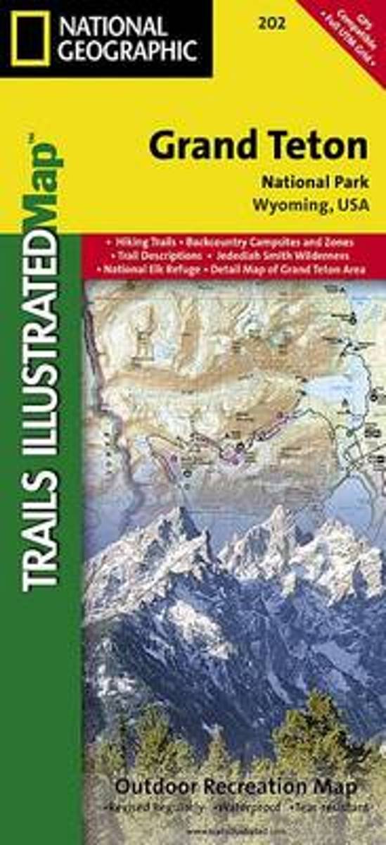
- Grand Teton National Park WY NGS Trails Illustrated Map 202
- Map No. 202, Grand Teton National Park, WY, in an extensive series of GPS compatible, contoured hiking maps of USA’s national and state parks or forests and other popular recreational areas. Cartography based on the national topographic survey, with additional tourist information.The maps, with most titles now printed on light, waterproof and... Leer más
- Also available from:
- The Book Depository, United Kingdom
- Bol.com, Netherlands
- Bol.com, Belgium
- De Zwerver, Netherlands

The Book Depository
United Kingdom
United Kingdom
- Grand Teton National Park
- Trails Illustrated National Parks Leer más
Bol.com
Netherlands
Netherlands
- Grand Teton National Park
- Waterproof Tear-Resistant Topographic MapExpertly researched and created in partnership with local land management agencies, National Geographic's Trails Illustrated map of Grand Teton National Park provides an unparalleled tool for exploring this magnificent region. This map offers unmatched detail of the entire park and features key... Leer más
Bol.com
Belgium
Belgium
- Grand Teton National Park
- Waterproof Tear-Resistant Topographic MapExpertly researched and created in partnership with local land management agencies, National Geographic's Trails Illustrated map of Grand Teton National Park provides an unparalleled tool for exploring this magnificent region. This map offers unmatched detail of the entire park and features key... Leer más

De Zwerver
Netherlands
Netherlands
- Wandelkaart 202 Grand Teton National Park | National Geographic
- Prachtige geplastificeerde kaart van het bekende nationaal park. Met alle recreatieve voorzieningen als campsites, maar ook met topografische details en wandelroutes ed. Door uitgekiend kleurgebruik zeer prettig in gebruik. Scheur en watervast! De meeste kaarten hebben een UTM grid en zijn dan ook GPS toepasbaar. Coverage includes town of Lead,... Leer más

Stanfords
United Kingdom
United Kingdom
- Telluride - Silverton - Ouray - Lake City CO
- Map No. 141, Telluride - Silverton - Ouray - Lake City, CO, in an extensive series of GPS compatible, contoured hiking maps of USA’s national and state parks or forests and other popular recreational areas. Cartography based on the national topographic survey, with additional tourist information.The maps, with most titles now printed on light,... Leer más
- Also available from:
- The Book Depository, United Kingdom
- Bol.com, Netherlands
- Bol.com, Belgium
- De Zwerver, Netherlands


Bol.com
Netherlands
Netherlands
- Telluride/silverton/ouray/lake City
- Waterproof Tear-Resistant Topographic MapExpertly researched and created in partnership with local land management agencies, National Geographic's Trails Illustrated map of Telluride, Silverton, Ouray, and Lake City provides an unparalleled tool for exploring this breathtaking region of Colorado. Whatever the season, you'll find this map... Leer más
Bol.com
Belgium
Belgium
- Telluride/silverton/ouray/lake City
- Waterproof Tear-Resistant Topographic MapExpertly researched and created in partnership with local land management agencies, National Geographic's Trails Illustrated map of Telluride, Silverton, Ouray, and Lake City provides an unparalleled tool for exploring this breathtaking region of Colorado. Whatever the season, you'll find this map... Leer más

De Zwerver
Netherlands
Netherlands
- Wandelkaart - Topografische kaart 141 Telluride, Silverton, Ouray, Lake City | National Geographic
- Prachtige geplastificeerde kaart van het bekende nationaal park. Met alle recreatieve voorzieningen als campsites, maar ook met topografische details en wandelroutes ed. Door uitgekiend kleurgebruik zeer prettig in gebruik. Scheur en watervast! Beautiful waterproof and tear-resistant topographical hiking map of a well-loved National Park, with... Leer más

Bol.com
Netherlands
Netherlands
- Grand Canyon East
- Waterproof Tear-Resistant Topographic MapGrand Canyon East (#262) and Grand Canyon West (#263) combine to cover the entire Grand Canyon National Park and its bordering public lands. Both maps contain detailed and easy-to-read trail and road networks, locations of facilities, points of interest, and highly accurate terrain with thousands... Leer más
- Also available from:
- Bol.com, Belgium
- De Zwerver, Netherlands
Bol.com
Belgium
Belgium
- Grand Canyon East
- Waterproof Tear-Resistant Topographic MapGrand Canyon East (#262) and Grand Canyon West (#263) combine to cover the entire Grand Canyon National Park and its bordering public lands. Both maps contain detailed and easy-to-read trail and road networks, locations of facilities, points of interest, and highly accurate terrain with thousands... Leer más

De Zwerver
Netherlands
Netherlands
- Wandelkaart 262 Grand Canyon East - Oost | National Geographic
- Prachtige geplastificeerde kaart van het nationaal park. Met alle recreatieve voorzieningen als campsites, maar ook met topografische details en wandelroutes ed. Door uitgekiend kleurgebruik zeer prettig in gebruik. Scheur en watervast! Grand Canyon East (#262) and Grand Canyon West (#263) combine to cover the entire Grand Canyon National Park... Leer más