
Montana
Descripción
Montana, a north country state bordering on Canada, has a mountainous west part, bordering on Idaho.
Here you will find the Continental Divide Trail (961 miles of it), the Great Western Trail, and the Pacific Northwest Trail.
Best for hiking is the Glacier National Park with alpine hiking and passes covered in snow until well into July.
There are major national forests in Montana, offering thousends of miles of spectacular hiking: Flathead National Forest, Lolo National Forest, Gallatin National Forest, Lewis and Clark national Forest, Beaverhead National Forest, Bitterroot National Forest, Kootenai National Forest, to mention the most important ones.
Mapa

Senderos en estado
Enlaces
Datos
Informes
Guías y mapas
Hospedaje
Organizaciones
Operadores turísticos
GPS
Otro
Libros

Stanfords
United Kingdom
2014
United Kingdom
2014
- La Gomera and Southern Tenerife: Car Tours and Walks
- Southern Tenerife and La Gomera is the Sunflower Landscapes guide to exploring the best walking and touring possibilities in the region. The guide covers a range of routes including walks in Montana Guaza, Masca, Arure, Degollada de Peraza and Vallehermoso. A double-sided, fold-out touring map at the back of the book gives an overview of... Leer más

Stanfords
United Kingdom
United Kingdom
- Best of Canmore Gem Trek
- Best of Camnore, a contoured and GPS compatible, waterproof and tear-resistant map/guide at 1:35,000 from Gem Trek, designed for people who are only going to be in Camnore for one to three days and want to know the highlights. On one side is a detailed, relief-shaded topographic map of the Canmore area, covering Canmore Nordic Centre Provincial... Leer más

Stanfords
United Kingdom
United Kingdom
- Missoula - Mission Mountains MT
- Map No. 724, Missoula - Mission Mountains in Montana at 1:70,000, part of an extensive series of GPS compatible, contoured hiking maps of USA’s national and state parks or forests and other popular recreational areas. Cartography, based on the national topographic survey, has extensive additional tourist information.The maps, printed on light,... Leer más


Stanfords
United Kingdom
2022
United Kingdom
2022
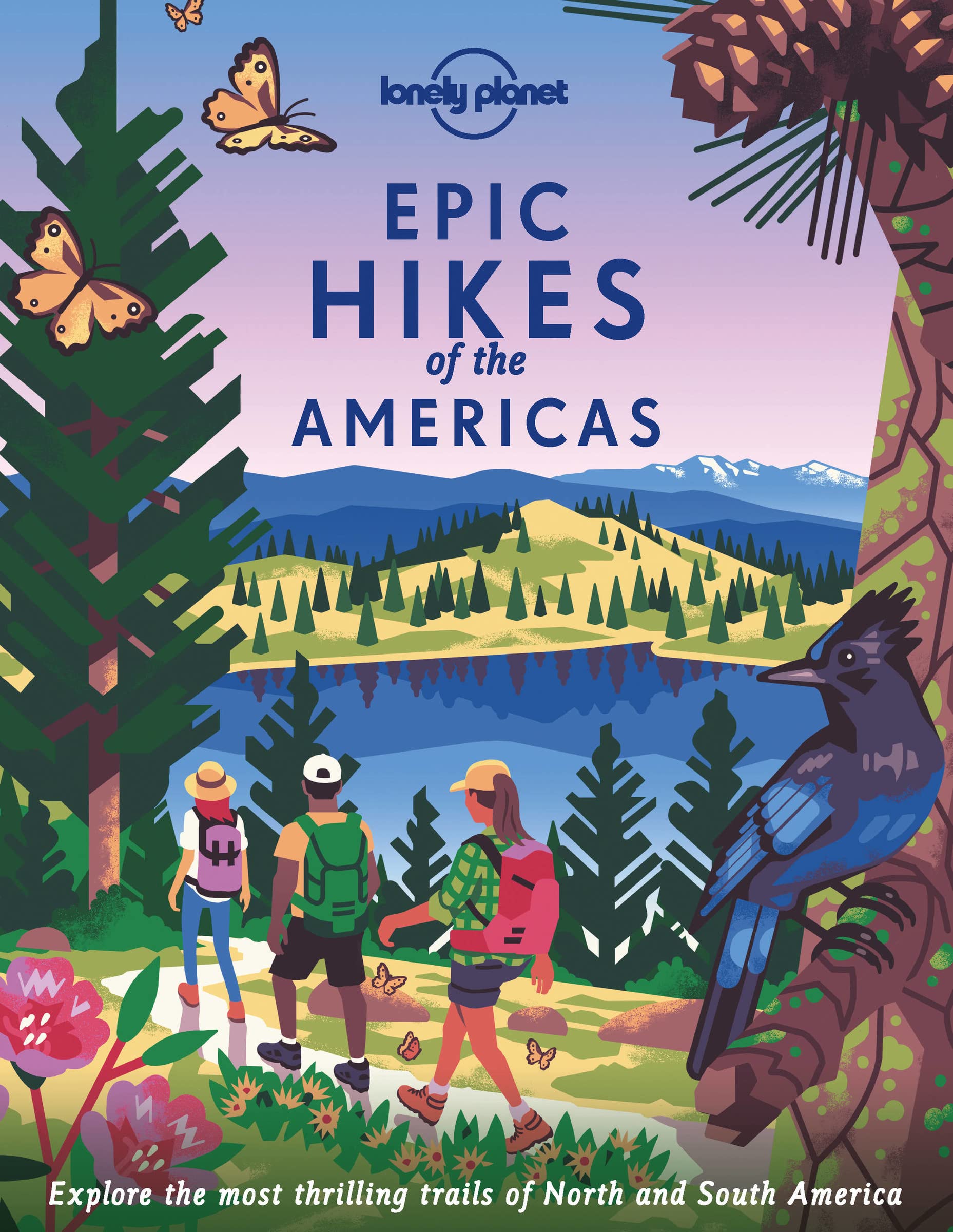
- Epic Hikes of the Americas
- Lace up your hiking boots for the next in Lonely Planet`s highly successful Epic Hikes series, this time exploring 50 of the Americas` most rewarding treks and trails. From Canada`s longest hut-to-hut hike, the Sunshine Coast Trail, to a descent through Havasu Canyon in the USA, and the Santa Cruz Trail of northern Peru, we cover a huge variety... Leer más
- Also available from:
- The Book Depository, United Kingdom
- De Zwerver, Netherlands

The Book Depository
United Kingdom
2022
United Kingdom
2022
- Lonely Planet Epic Hikes of the Americas
- Lace up your hiking boots for the next in Lonely Planet`s highly successful Epic Hikes series, this time exploring 50 of the Americas` most rewarding treks and trails. From Canada`s longest hut-to-hut hike, the Sunshine Coast Trail, to a descent through Havasu Canyon in the USA, and the Santa Cruz Trail of northern Peru, we cover a huge variety... Leer más
De Zwerver
Netherlands
2022
Netherlands
2022
- Wandelgids Epic Hikes of the Americas | Lonely Planet
- Lace up your hiking boots for the next in Lonely Planet`s highly successful Epic Hikes series, this time exploring 50 of the Americas` most rewarding treks and trails. From Canada`s longest hut-to-hut hike, the Sunshine Coast Trail, to a descent through Havasu Canyon in the USA, and the Santa Cruz Trail of northern Peru, we cover a huge variety... Leer más

The Book Depository
United Kingdom
2022
United Kingdom
2022
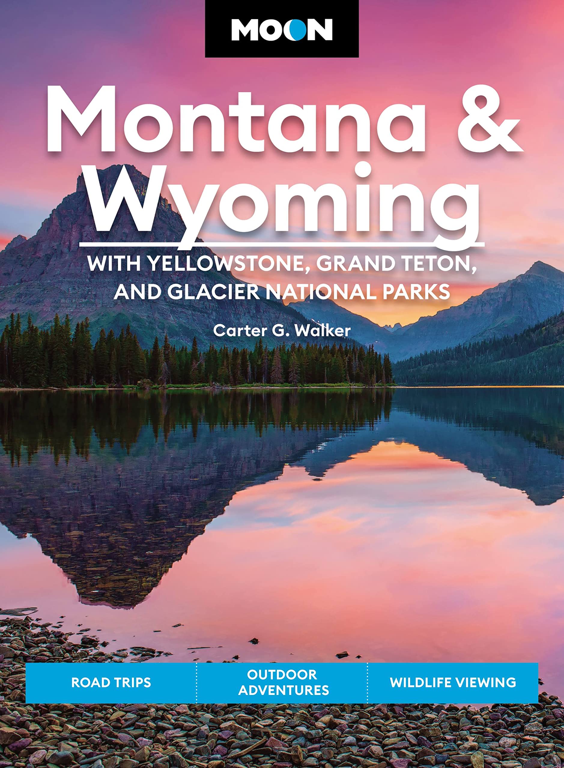
- Moon Montana & Wyoming: With Yellowstone, Grand Teton & Glacier National Parks (Fifth Edition)
- Road Trips, Outdoor Adventures, Wildlife Viewing Leer más
- Also available from:
- De Zwerver, Netherlands
De Zwerver
Netherlands
2022
Netherlands
2022
- Reisgids Montana - Wyoming | Moon Travel Guides
- Road Trips, Outdoor Adventures, Wildlife Viewing Leer más

The Book Depository
United Kingdom
United Kingdom
- Montana Outdoor Recreation Web Guide
- An Internet directory guide to Montana's outdoors Leer más
Bol.com
Netherlands
Netherlands
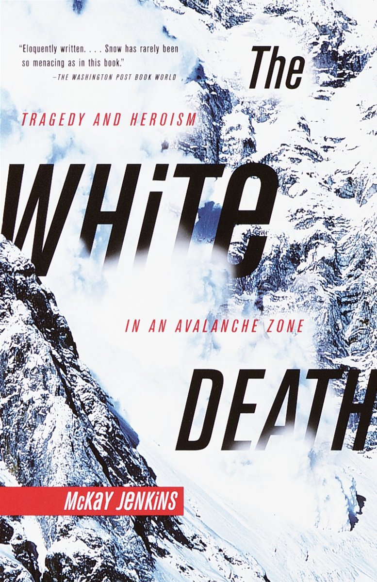
- The White Death
- In 1969, five young men from Montana set out to accomplish what no one had before: to scale the sheer north face of Mt. Cleveland, Glacier National Park's tallest mountain, in winter. Two days later tragedy struck: they were buried in an avalanche so deep that their bodies would not be discovered until the following June. The White Death is the... Leer más
- Also available from:
- Bol.com, Belgium
Bol.com
Belgium
Belgium
- The White Death
- In 1969, five young men from Montana set out to accomplish what no one had before: to scale the sheer north face of Mt. Cleveland, Glacier National Park's tallest mountain, in winter. Two days later tragedy struck: they were buried in an avalanche so deep that their bodies would not be discovered until the following June. The White Death is the... Leer más
Bol.com
Netherlands
Netherlands
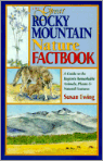
- The Great Rocky Mountain Nature Factbook
- Discover the amazing natural world of the Rocky Mountains in this engaging, in-depth guide that covers animals, plants and natural features including geography and geology. The Rocky Mountains are an immense 10,000 mile-long assemblage of mountain ranges stretching all the way from Alaska through South America. This informative book encompasses... Leer más
- Also available from:
- Bol.com, Belgium
Bol.com
Belgium
Belgium
- The Great Rocky Mountain Nature Factbook
- Discover the amazing natural world of the Rocky Mountains in this engaging, in-depth guide that covers animals, plants and natural features including geography and geology. The Rocky Mountains are an immense 10,000 mile-long assemblage of mountain ranges stretching all the way from Alaska through South America. This informative book encompasses... Leer más
Bol.com
Netherlands
Netherlands
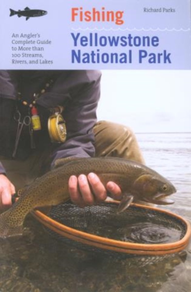
- Fishing Yellowstone National Park
- Yellowstone's fabled trout waters draw anglers from around the world to test their skills. This guide explains where to go, how to get there, which gamefish are found, the geography and angling history of the park's waters, and the top fly patterns and lures for each fishery. Also included are tips on lures, flies, bait, and tackle; and... Leer más
- Also available from:
- Bol.com, Belgium
Bol.com
Belgium
Belgium
- Fishing Yellowstone National Park
- Yellowstone's fabled trout waters draw anglers from around the world to test their skills. This guide explains where to go, how to get there, which gamefish are found, the geography and angling history of the park's waters, and the top fly patterns and lures for each fishery. Also included are tips on lures, flies, bait, and tackle; and... Leer más
Bol.com
Netherlands
Netherlands
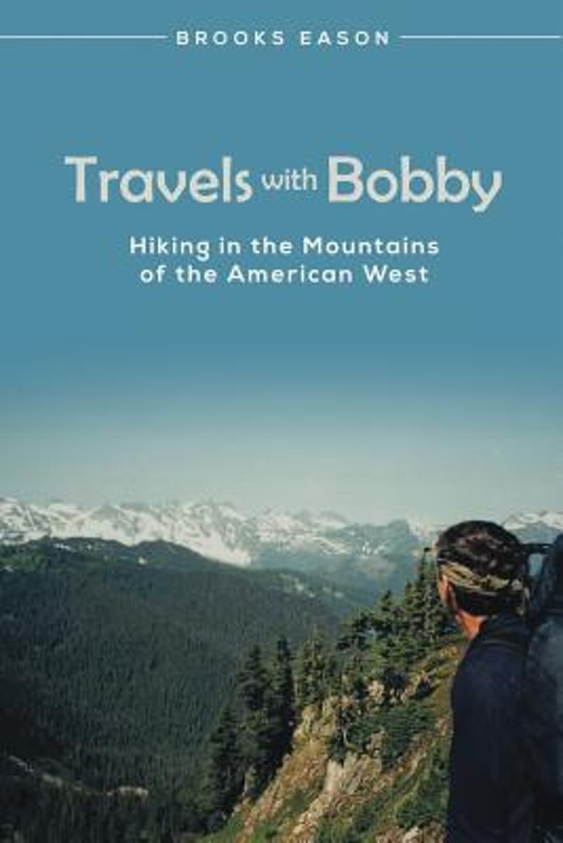
- Travels with Bobby
- Brooks Eason and his best friend, Bobby Ariatti, live in the flatlands but love the mountains. They have explored the outdoors together for two decades, taking annual hiking trips to the mountains of the American West. This is the story of their first six trips. Their travels begin in Yosemite National Park in California. In the years that... Leer más
- Also available from:
- Bol.com, Belgium
Bol.com
Belgium
Belgium
- Travels with Bobby
- Brooks Eason and his best friend, Bobby Ariatti, live in the flatlands but love the mountains. They have explored the outdoors together for two decades, taking annual hiking trips to the mountains of the American West. This is the story of their first six trips. Their travels begin in Yosemite National Park in California. In the years that... Leer más
Bol.com
Netherlands
Netherlands
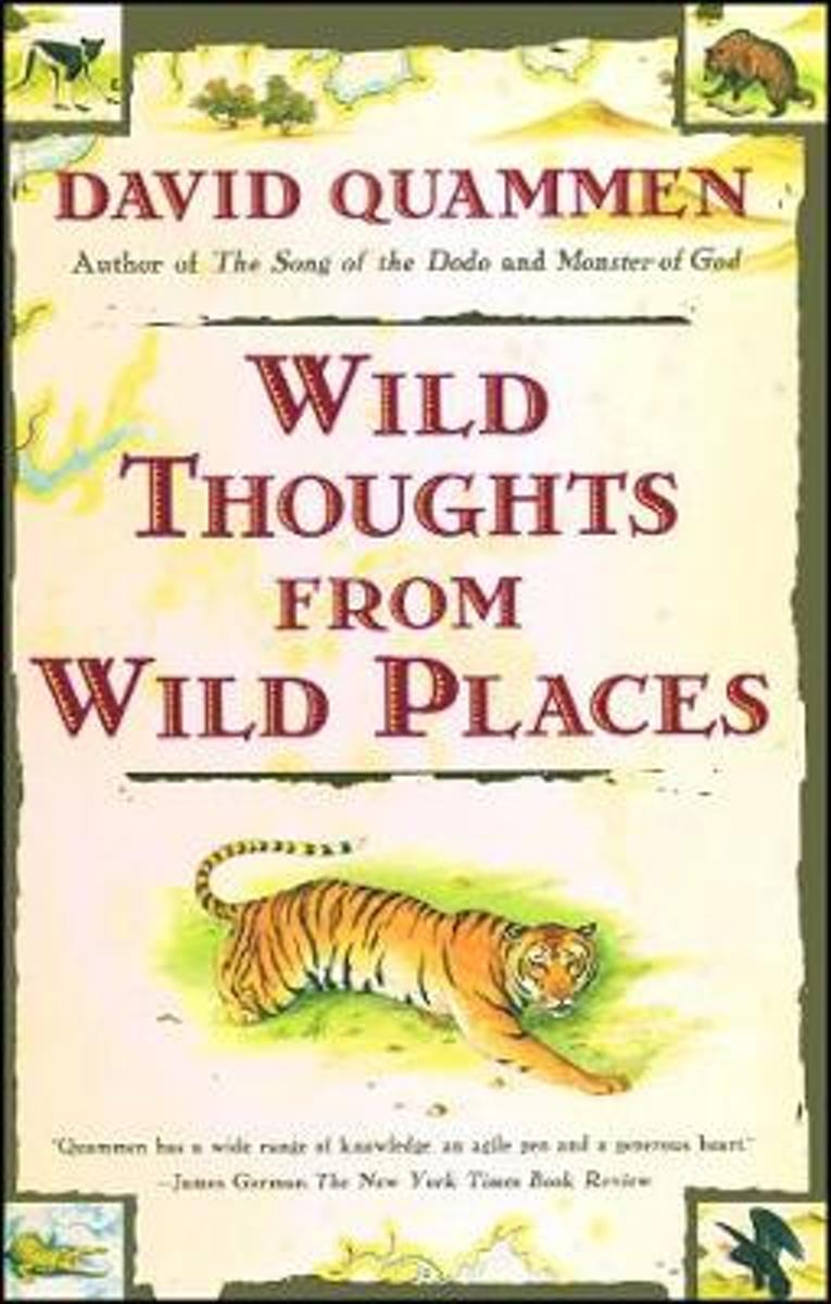
- Wild Thoughts from Wild Places
- Besides bringing together a couple of decades worth of literate, incisive forays into the natural world, this collection of essays from the prize-winning author of THE SONG OF THE DODO is both a wake-up call and a testimonial. Gathered in the main from magazine articles, in particular the authors 15 years of 'Natural Acts', a column in OUTSIDE... Leer más
- Also available from:
- Bol.com, Belgium
Bol.com
Belgium
Belgium
- Wild Thoughts from Wild Places
- Besides bringing together a couple of decades worth of literate, incisive forays into the natural world, this collection of essays from the prize-winning author of THE SONG OF THE DODO is both a wake-up call and a testimonial. Gathered in the main from magazine articles, in particular the authors 15 years of 'Natural Acts', a column in OUTSIDE... Leer más

- Also available from:
- Bol.com, Netherlands
- Bol.com, Belgium
Bol.com
Netherlands
Netherlands
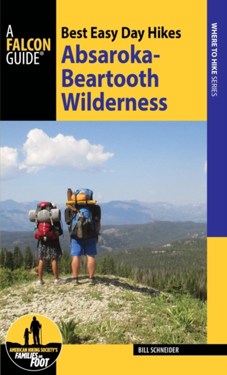
- Best Easy Day Hikes Absaroka-Beartooth Wilderness
- Experience the dual nature of this vast wilderness area straddling the Montana-Wyoming border. Featuring a range of hikes from lake-strewn alpine country of the Beartooth Plateau to the lower, densely forested, and wildlife-rich mountains of the Absaroka Range, Best Easy Day Hikes Absaroka-Beartooth Wilderness is an essential hiking companion.... Leer más
Bol.com
Belgium
Belgium
- Best Easy Day Hikes Absaroka-Beartooth Wilderness
- Experience the dual nature of this vast wilderness area straddling the Montana-Wyoming border. Featuring a range of hikes from lake-strewn alpine country of the Beartooth Plateau to the lower, densely forested, and wildlife-rich mountains of the Absaroka Range, Best Easy Day Hikes Absaroka-Beartooth Wilderness is an essential hiking companion.... Leer más
Bol.com
Netherlands
Netherlands
- American Texture
- American Texture is a national aerial photography work, now the author’s 12th book. Instead of focusing on specific regional subjects as in the past, Garrett Fisher has included images acquired spanning a multi-year period while working on a variety of projects, bringing together a work that covers from the Atlantic Ocean to the glaciers... Leer más
- Also available from:
- Bol.com, Belgium
Bol.com
Belgium
Belgium
- American Texture
- American Texture is a national aerial photography work, now the author’s 12th book. Instead of focusing on specific regional subjects as in the past, Garrett Fisher has included images acquired spanning a multi-year period while working on a variety of projects, bringing together a work that covers from the Atlantic Ocean to the glaciers... Leer más
Bol.com
Netherlands
Netherlands
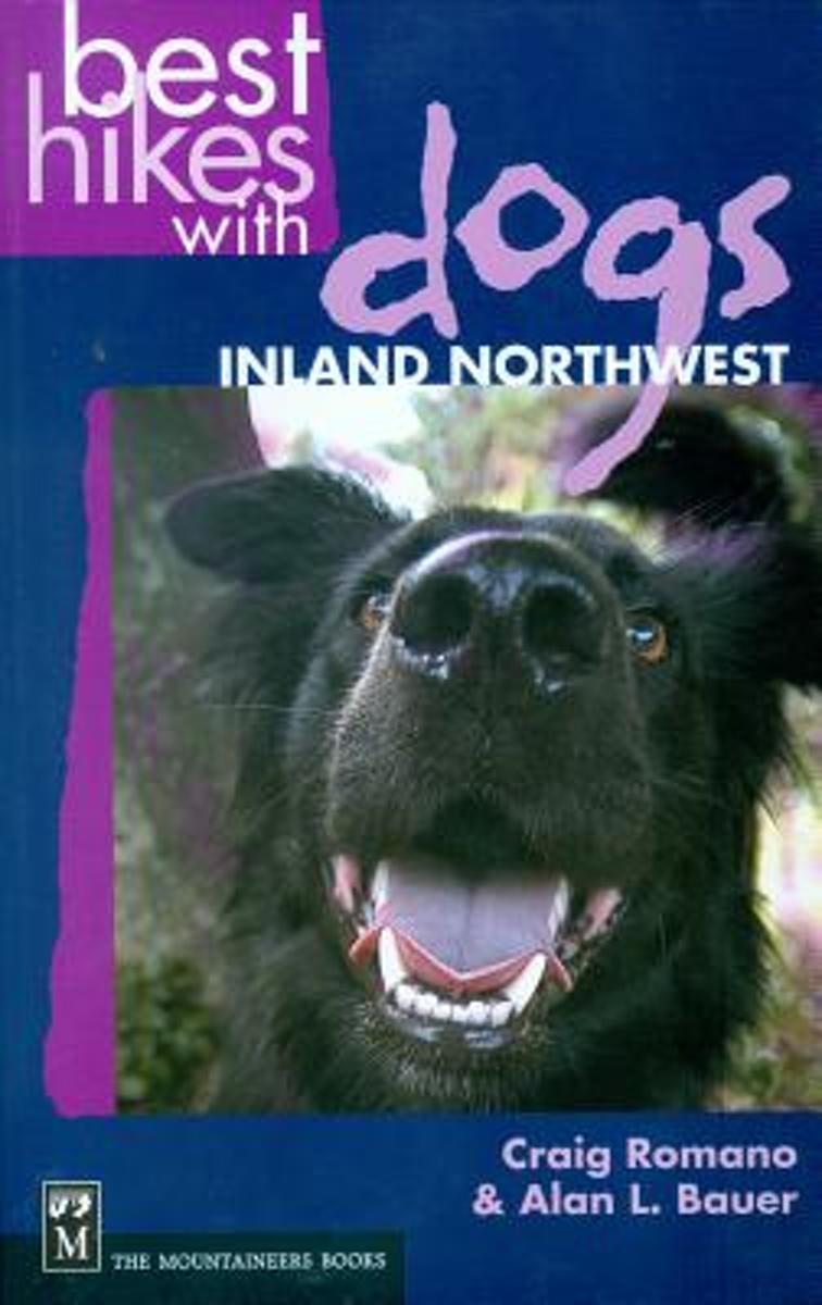
- Best Hikes with Dogs Inland Northwest
- CLICK HERE to download two free hikes from Best Hikes with Dogs Inland Northwest * Trails that are hazard-free and easy on the paws * On most trails, no leashes required and no crowds to dodge * Guidebook to 75 trails covering eastern Washington, Idaho panhandle, and northwest Montana; plus Okanagan Highlands and BC Kootenay (Canada) Although... Leer más
- Also available from:
- Bol.com, Belgium
Bol.com
Belgium
Belgium
- Best Hikes with Dogs Inland Northwest
- CLICK HERE to download two free hikes from Best Hikes with Dogs Inland Northwest * Trails that are hazard-free and easy on the paws * On most trails, no leashes required and no crowds to dodge * Guidebook to 75 trails covering eastern Washington, Idaho panhandle, and northwest Montana; plus Okanagan Highlands and BC Kootenay (Canada) Although... Leer más
Mapas
Stanfords
United Kingdom
United Kingdom
- Comunita Montana del Fortore
- Fortore commune in the mountains along the north-eastern corner of Campania on a detailed, countered map at 1:50,000 from Ed. Abies, with notes about the area and other tourist information. The map is centered on the villages of Molinara, Montefalcone di Valforte and Foiano di Valfortre, with the town of Benevento in its south-western... Leer más

Stanfords
United Kingdom
United Kingdom
- Greater Yellowstone & Grand Teton Benchnark Maps Recreation Atlas & Guide
- Greater Yellowstone and Grand Teton Recreation Atlas & Guide from Benchmark Maps in an A4 paperback format, with coverage of the two parks on detailed, GPS compatible “Recreational” section at 1:100,000, regional map coverage of a wider area, plus a 10-page recreational guide with list of various facilities, etc.The more detailed “Landscape”... Leer más

Stanfords
United Kingdom
United Kingdom
- Kootenay Rockies - Calgary and Northern Montana Back Road Atlas
- South-eastern British Columbia with the adjoining regions of Alberta including the Banff and Jasper NP plus the border area of Montana with the Glacier NP presented at 1:250,000 in an A4 paperback road atlas with additional street plans, a listing of local events, etc.Mapping at 1:250,000 covers the areas indicated on our coverage image.... Leer más

Stanfords
United Kingdom
United Kingdom
- Isla de Montana Clara 25K Lanzarote CNIG Topographic Survey Map No. 1079-IV
- Topographic coverage of the Canary Islands at 1:25,000 published by the Instituto Geográfico Nacional – Centro Nacional de Información Geografica, the country’s civilian survey organization. The maps have contours at 10m intervals and colouring and/or graphics to show different types of vegetation or land use. Boundaries of national parks and... Leer más

Stanfords
United Kingdom
United Kingdom
- Banff - Egypt Lake Gem Trek
- Banff - Egypt Lake, a contoured and GPS compatible map at 1:50,000 from Gem Trek of the main hiking area in the Banff National Park, with coverage around Banff itself, including trails eastwards to Lake Minnewanka and Johnson, and extending westwards across the state border to include parts of Kootenay NP and Mt. Assiniboine Provincial Park.... Leer más

Stanfords
United Kingdom
United Kingdom
- Montaña Palentina y Sur de la Liébana CNIG
- Montaña Palentina, just south-east of the Picos de Europa, on a contoured and GPS compatible map at 1:50,000 from IGN/CNIG with cartography from their topographic survey of Spain. The map has contours at 20m intervals enhanced by bold relief shading, plus colouring and graphics to show different types of vegetation. Mountain refuges are... Leer más

Stanfords
United Kingdom
United Kingdom
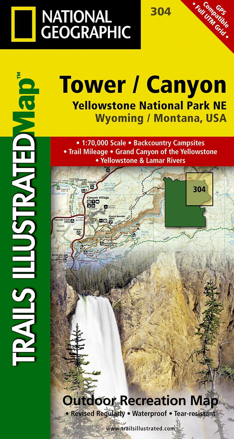
- Tower - Canyon - Yellowstone National Park WY/MT
- Map No. 304, Yellowstone NE: Tower/Canyon, WY/MT, in an extensive series of GPS compatible, contoured hiking maps of USA’s national and state parks or forests and other popular recreational areas. Cartography based on the national topographic survey, with additional tourist information.The maps, with most titles now printed on light, waterproof... Leer más
- Also available from:
- The Book Depository, United Kingdom
- De Zwerver, Netherlands

The Book Depository
United Kingdom
United Kingdom
- Yellowstone Ne/tower/canyon
- Trails Illustrated National Parks Leer más
De Zwerver
Netherlands
Netherlands
- Wandelkaart - Topografische kaart 304 Tower - Canyon - Yellowstone National Park NE | National Geographic
- Prachtige geplastificeerde kaart van het nationaal park. Met alle recreatieve voorzieningen als campsites, maar ook met topografische details en wandelroutes ed. Door uitgekiend kleurgebruik zeer prettig in gebruik. Scheur en watervast! Coverage of the Tower / Canyon area of Yellowstone National Park includes Canyon Village, Tower -... Leer más

Stanfords
United Kingdom
United Kingdom
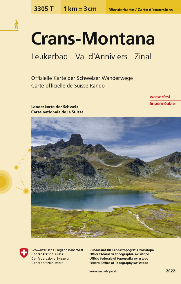
- Crans-Montana - Leukerbad - Val d`Anniviers - Zinal Swisstopo Hiking 3305T
- Crans-Montana - Leukerbad - Val d’Anniviers - Zinal area at 1:33,333 on light, waterproof and tear-resistant map No. 3305T published by Swisstopo in cooperation with the Swiss Hiking Federation. Cartography is the same as in Swisstopo’s 50K hiking maps, simply enlarged to 1:33,333 for extra clarity but without additional information. With... Leer más
- Also available from:
- The Book Depository, United Kingdom
- De Zwerver, Netherlands

The Book Depository
United Kingdom
United Kingdom
- Craens - Montana
- Een nieuwe serie van de Zwitserse topografische dienst: eindelijk goede wandelkaarten met ingetekende wandelroutes op scheur- en watervast papier. Vooralsnog zijn ze uitgebracht van de populaire wandelgebieden en niet landelijk dekkend (zie overzicht) Op een gedetailleerde schaal van 1:33.333 met als ondergrond de onovertroffen topografische... Leer más
De Zwerver
Netherlands
Netherlands
- Wandelkaart - Topografische kaart 3305T Crans-Montana | Swisstopo
- Een nieuwe serie van de Zwitserse topografische dienst: eindelijk goede wandelkaarten met ingetekende wandelroutes op scheur- en watervast papier. Vooralsnog zijn ze uitgebracht van de populaire wandelgebieden en niet landelijk dekkend (zie overzicht) Op een gedetailleerde schaal van 1:33.333 met als ondergrond de onovertroffen topografische... Leer más

Stanfords
United Kingdom
United Kingdom
- Old Faithful - Yellowstone National Park SW WY/MT
- Map No. 302, Yellowstone SW: Old Faithful, WY/MT, in an extensive series of GPS compatible, contoured hiking maps of USA’s national and state parks or forests and other popular recreational areas. Cartography based on the national topographic survey, with additional tourist information.The maps, with most titles now printed on light, waterproof... Leer más
- Also available from:
- The Book Depository, United Kingdom
- De Zwerver, Netherlands

The Book Depository
United Kingdom
United Kingdom
- Yellowstone Sw/old Faithful
- Trails Illustrated National Parks Leer más

De Zwerver
Netherlands
Netherlands
- Wandelkaart - Topografische kaart 302 Old Faithful, Yellowstone National Park SW | National Geographic
- Prachtige geplastificeerde kaart van het bekende nationaal park. Met alle recreatieve voorzieningen als campsites, maar ook met topografische details en wandelroutes ed. Door uitgekiend kleurgebruik zeer prettig in gebruik. Scheur en watervast! Beautiful waterproof and tear-resistant topographical hiking map of a well-loved National Park, with... Leer más

Stanfords
United Kingdom
United Kingdom
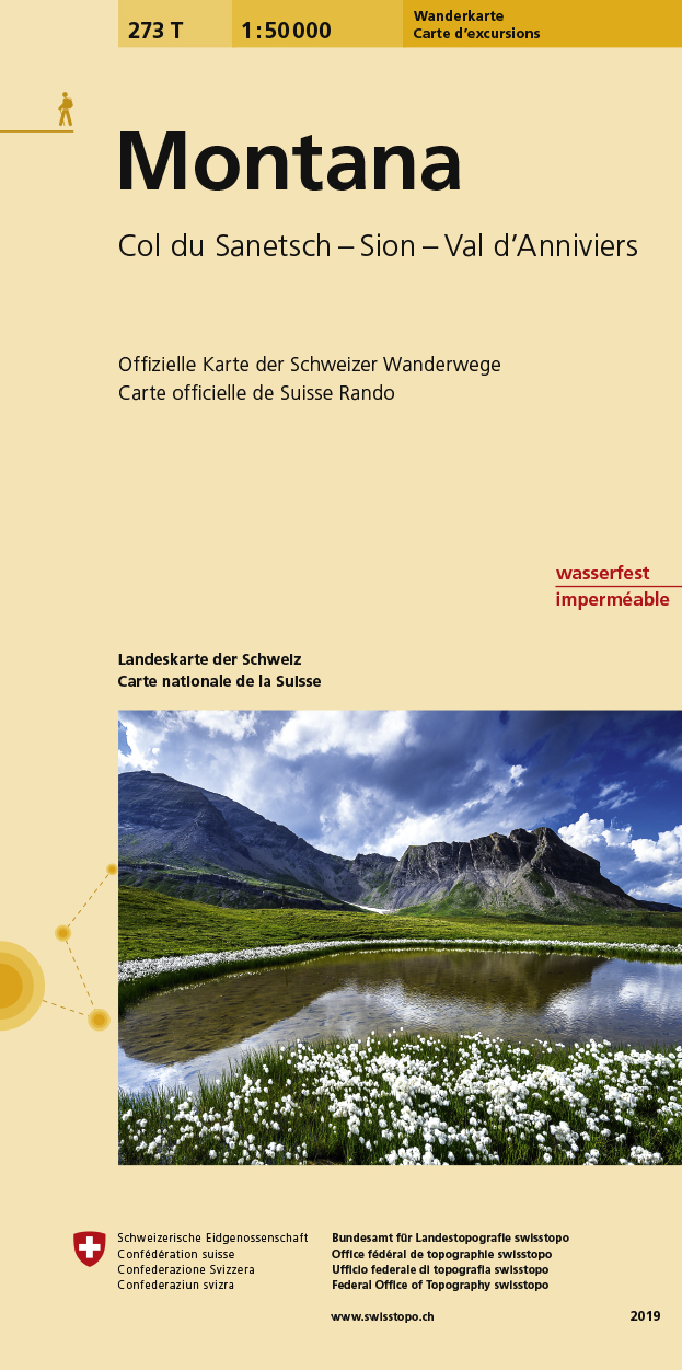
- Montana Swisstopo Hiking 273T
- Montana area, map No. 273T, at 1:50,000 in a special hiking edition of the country’s topographic survey, published by Swisstopo in cooperation with the Swiss Hiking Federation. The map is divided by the Rhone Valley with Sierre and Sion and covers north of it the resorts of Crans-Montana and Lens and the peak of Wildhorn, and to the south most... Leer más
- Also available from:
- De Zwerver, Netherlands
De Zwerver
Netherlands
Netherlands
- Wandelkaart 273T Montana | Swisstopo
- Montana area, map No. 273T, at 1:50,000 in a special hiking edition of the country Leer más

Stanfords
United Kingdom
United Kingdom
- Telluride - Silverton - Ouray - Lake City CO
- Map No. 141, Telluride - Silverton - Ouray - Lake City, CO, in an extensive series of GPS compatible, contoured hiking maps of USA’s national and state parks or forests and other popular recreational areas. Cartography based on the national topographic survey, with additional tourist information.The maps, with most titles now printed on light,... Leer más
- Also available from:
- The Book Depository, United Kingdom
- Bol.com, Netherlands
- Bol.com, Belgium
- De Zwerver, Netherlands


Bol.com
Netherlands
Netherlands
- Telluride/silverton/ouray/lake City
- Waterproof Tear-Resistant Topographic MapExpertly researched and created in partnership with local land management agencies, National Geographic's Trails Illustrated map of Telluride, Silverton, Ouray, and Lake City provides an unparalleled tool for exploring this breathtaking region of Colorado. Whatever the season, you'll find this map... Leer más
Bol.com
Belgium
Belgium
- Telluride/silverton/ouray/lake City
- Waterproof Tear-Resistant Topographic MapExpertly researched and created in partnership with local land management agencies, National Geographic's Trails Illustrated map of Telluride, Silverton, Ouray, and Lake City provides an unparalleled tool for exploring this breathtaking region of Colorado. Whatever the season, you'll find this map... Leer más

De Zwerver
Netherlands
Netherlands
- Wandelkaart - Topografische kaart 141 Telluride, Silverton, Ouray, Lake City | National Geographic
- Prachtige geplastificeerde kaart van het bekende nationaal park. Met alle recreatieve voorzieningen als campsites, maar ook met topografische details en wandelroutes ed. Door uitgekiend kleurgebruik zeer prettig in gebruik. Scheur en watervast! Beautiful waterproof and tear-resistant topographical hiking map of a well-loved National Park, with... Leer más

De Zwerver
Netherlands
Netherlands
- Wegenkaart - landkaart Idaho, Montana & Wyoming | ITMB
- Idaho,Montana & Wyoming Travel Reference Map 1 : 1 000 000 ab 10.49 EURO International Travel Map ITM. 1st Edition Leer más

Bol.com
Netherlands
Netherlands
- Grand Canyon East
- Waterproof Tear-Resistant Topographic MapGrand Canyon East (#262) and Grand Canyon West (#263) combine to cover the entire Grand Canyon National Park and its bordering public lands. Both maps contain detailed and easy-to-read trail and road networks, locations of facilities, points of interest, and highly accurate terrain with thousands... Leer más
- Also available from:
- Bol.com, Belgium
- De Zwerver, Netherlands
Bol.com
Belgium
Belgium
- Grand Canyon East
- Waterproof Tear-Resistant Topographic MapGrand Canyon East (#262) and Grand Canyon West (#263) combine to cover the entire Grand Canyon National Park and its bordering public lands. Both maps contain detailed and easy-to-read trail and road networks, locations of facilities, points of interest, and highly accurate terrain with thousands... Leer más

De Zwerver
Netherlands
Netherlands
- Wandelkaart 262 Grand Canyon East - Oost | National Geographic
- Prachtige geplastificeerde kaart van het nationaal park. Met alle recreatieve voorzieningen als campsites, maar ook met topografische details en wandelroutes ed. Door uitgekiend kleurgebruik zeer prettig in gebruik. Scheur en watervast! Grand Canyon East (#262) and Grand Canyon West (#263) combine to cover the entire Grand Canyon National Park... Leer más

Stanfords
United Kingdom
United Kingdom
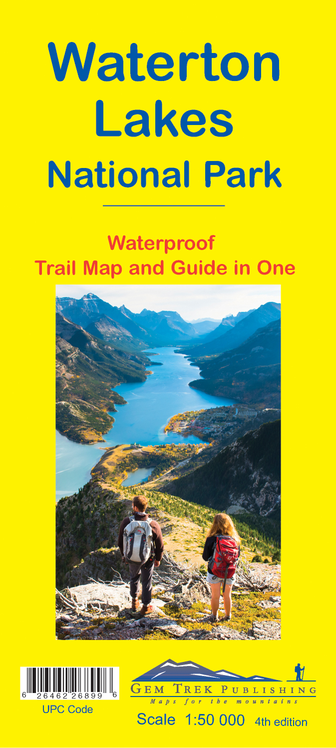
- Waterton Lakes National Park Gem Trek Map
- Waterton Lakes National Park in British Columbia with the northern part of the Glacier National Park across the US border in Montana at 1:50,000 on a light, waterproof and tear-resistant map from Gem Trek with descriptions of recommended treks and bike trails, etc.Contours are at 25m intervals, enhanced by relief shading and colouring for... Leer más
- Also available from:
- De Zwerver, Netherlands
De Zwerver
Netherlands
Netherlands
- Wandelkaart 16 Waterton Lakes NP | Gem Trek Maps
- The Waterton Lakes National Park map is one of our most popular trail map-guides for the Canadian Rockies. This map covers all of Waterton Lakes National Park, the eastern end of Akamina-Kishinena Provincial Park, and the Goat Haunt or northern area of Glacier National Park, Montana, at the south end of Upper Waterton Lake. The front of the map... Leer más

Stanfords
United Kingdom
United Kingdom
- Bryce Canyon National Park UT NGS Trails Illustrated Map 219
- Map No. 219, Bryce Canyon National Park, UT, in an extensive series of GPS compatible, contoured hiking maps of USA’s national and state parks or forests and other popular recreational areas. Cartography based on the national topographic survey, with additional tourist information.The maps, with most titles now printed on light, waterproof and... Leer más
- Also available from:
- The Book Depository, United Kingdom
- Bol.com, Netherlands
- Bol.com, Belgium
- De Zwerver, Netherlands

The Book Depository
United Kingdom
United Kingdom
- Bryce Canyon National Park
- Trails Illustrated National Parks Leer más

Bol.com
Netherlands
Netherlands
- Bryce Canyon National Park
- Waterproof Tear-Resistant Topographic MapNational Geographic's Trails Illustrated map of Bryce Canyon National Park is designed to meet the needs of outdoor enthusiasts by combining valuable information with unmatched detail of this unique landscape of hoodoos and forest. Created in partnership with local land management agencies, this... Leer más
Bol.com
Belgium
Belgium
- Bryce Canyon National Park
- Waterproof Tear-Resistant Topographic MapNational Geographic's Trails Illustrated map of Bryce Canyon National Park is designed to meet the needs of outdoor enthusiasts by combining valuable information with unmatched detail of this unique landscape of hoodoos and forest. Created in partnership with local land management agencies, this... Leer más

De Zwerver
Netherlands
Netherlands
- Wandelkaart - Topografische kaart 219 Bryce Canyon National Park | National Geographic
- Prachtige geplastificeerde kaart van het bekende nationaal park. Met alle recreatieve voorzieningen als campsites, maar ook met topografische details en wandelroutes ed. Door uitgekiend kleurgebruik zeer prettig in gebruik. Scheur en watervast! This informative Trails Illustrated map will help you plan trips and explore the area in and around... Leer más