
California
Descripción
Another great hiking state is California, in the southwest and bordering on the Pacific Ocean.
A number of high mountain ranges can be found in this state – Sierra Nevada, Cascades, Coast Range – canyons, desert, wild coastline.
The main part of the Pacific Crest Trail – 1680 miles out of 2638 miles – lies in this state. Other trails are the John Muir Trail, the Tahoe Rim Trail, and the Tahoe-Yosemite Trail. The Sierra High Route is one of the most demanding alpine trails (195 miles).
Next are the American Discovery Trail (6356 miles), the Bigfoot Trail, the Bay Area Ridge Trail, and some long distance trails still under construction.
The Yosemite National Park is beautiful, but overcrowded, unless you escape to the remoter wilderness areas.
In the Sequoia and Kings Canyon National Parks you can still find virgin forests. With 14,495 feet, Mount Whitney in the Sierra range is the highest mountain outside Alaska. The tall 300 feet high redwoods can be found in the Humboldt Redwoods State Park.
There are many more parks and forests, all with hiking possibilities. Yes, California!
Mapa

Senderos en estado
Enlaces
Datos
Informes
Guías y mapas
Hospedaje
Organizaciones
Operadores turísticos
GPS
Otro
Libros

United Kingdom
- DK Eyewitness Mexico
- Immerse yourself in a culture like no otherWhether you want to sample sizzling street food in Mexico City, swim in the Yucatan`s crystal-clear cenotes or marvel at towering Maya pyramids, your DK Eyewitness travel guide makes sure you experience all that Mexico has to offer. A cultural bonanza, a sun-seekers paradise, a foodie haven: Mexico is... Leer más

United Kingdom
- DK Eyewitness Road Trips California
- With its iconic coastal highways, lush wine regions, and mammoth national parks, California is the perfect destination for a leisurely road trip. It`s yours to explore with Road Trips California, our redesigned and newly updated guide containing 24 drives across the country, from the surfer-studded beaches of Big Sur to the towering redwoods of... Leer más

United Kingdom
- Waldviertel North - Gmund - Heidenreichstein - Waidhofen & Raabs a.d.T. - Trebon F&B WK075
- Waldviertel North - Gmünd - Heidenreichstein - Waidhofen a.d.T. - Raabs a.d.T. – Trebon area of eastern Austria presented at 1:50,000 in a series of contoured and GPS compatible outdoor leisure map from Freytag & Berndt with hiking and cycling routes, mountain huts, campsites and youth hostels, local bus stops, plus other tourist information.To... Leer más

United Kingdom
- DK Eyewitness `Back Roads` California
- Take to the open road with Back Roads California and discover 24 leisurely drives through the state`s idyllic hamlets, gorgeous beaches and sprawling vineyards. Tour the Pacific Coast Highway, explore the vineyards of the Napa Valley, or drive through Yosemite National Park. Packed with insider tips and information, this easy-to-use guide... Leer más

United Kingdom
- DK Eyewitness San Francisco and the Bay Area
- Discover San Francisco and the Bay Area - a region renowned for its culture, history, natural beauty, and incredible food.Whether you want to get inspired by contemporary art at SFMOMA, weekend in the Wine Country, or hike through Muir Woods National Monument, your DK Eyewitness travel guide makes sure you experience all that San Francisco and... Leer más

United Kingdom
- DK Eyewitness USA
- Spectacular scenery, vibrant cities and captivating culture - welcome to the USA.Whether you want to hike in breathtaking Yosemite National Park, take a road trip from coast to coast or sample southern soul food in the Deep South, your DK Eyewitness travel guide makes sure you experience all that the USA has to offer.Dramatic and diverse, the... Leer más

United Kingdom
- DK Eyewitness USA 7/5/20
- Spectacular scenery, vibrant cities and captivating culture - welcome to the USA.Whether you want to hike in breathtaking Yosemite National Park, take a road trip from coast to coast or sample southern soul food in the Deep South, your DK Eyewitness travel guide makes sure you experience all that the USA has to offer. A nation of sublime... Leer más

United Kingdom
- DK Eyewitness California
- Dreamin` of California?Whether you want to hike to the waterfalls in Yosemite National Park, tour a winery in Napa or ride a classic cable car in San Francisco, your DK Eyewitness travel guide makes sure you experience all that California has to offer.California`s dramatic landscape has inspired generations of artists and explorers - from... Leer más

United Kingdom
- John Muir Trail
- The Essential Guide to Hiking America's Most Famous Trail Leer más
United Kingdom
- Pacific Crest Trail, Washington South
- Topographic Map Guide Leer más

United Kingdom
- Hiking with Kids Southern California
- 45 Great Hikes for Families Leer más

United Kingdom
- Spooky Trails and Tall Tales California
- Hiking the Golden State's Legends, Hauntings, and History Leer más


United Kingdom
- Coastal Trails of Southern California
- Including Best Dog Friendly Beaches Leer más

United Kingdom
2022
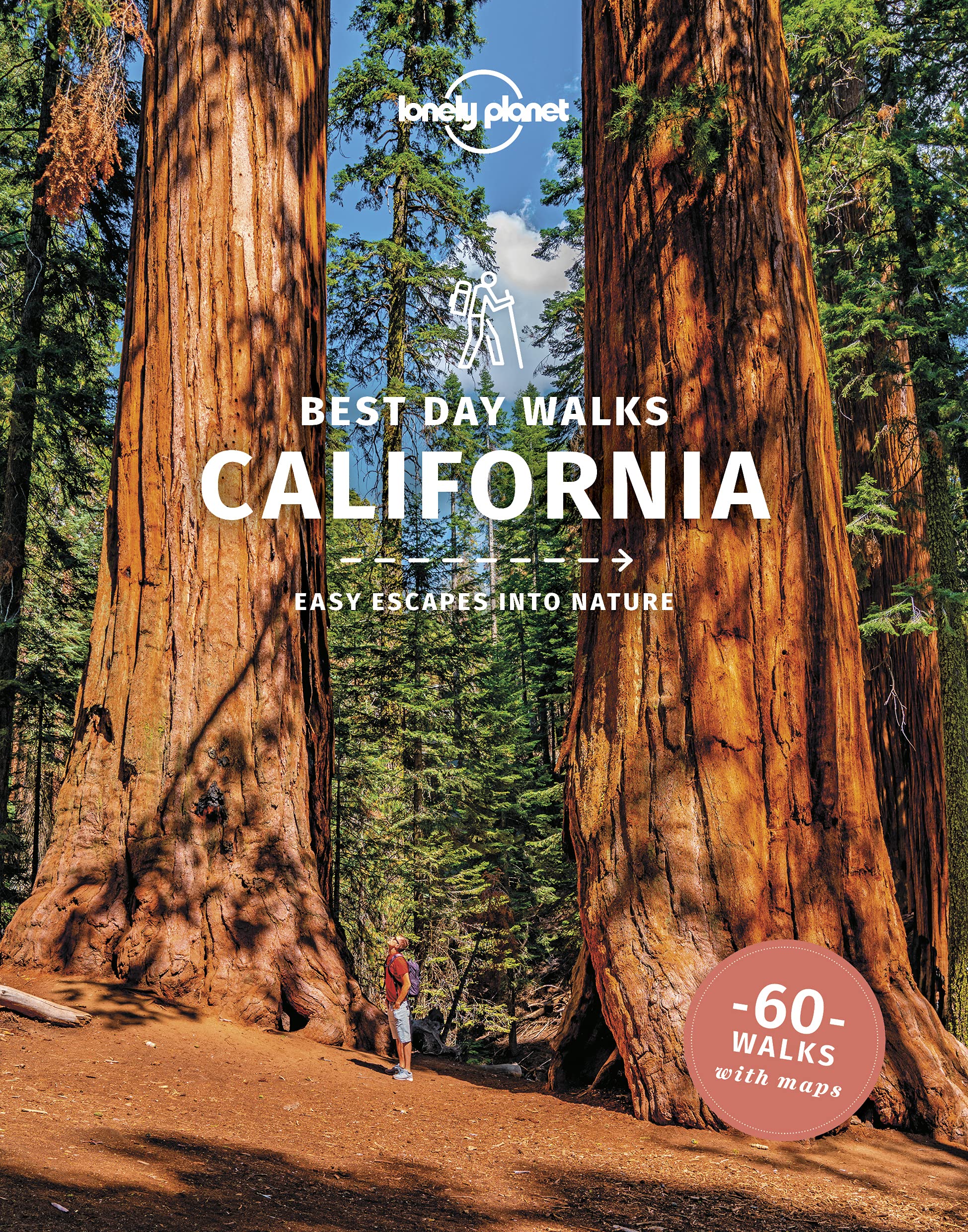
- Lonely Planet Best Day Walks California
- Lonely Planet`s Best Day Walks California is your passport to 60 easy escapes into nature. Stretch your legs away from the city by picking a walk that works for you, from just a couple of hours to a full day, from easy to hard. Explore Yosemite National Park, marvel at redwoods, and hike through Gold Country. Inside Lonely Planet`s Best Day... Leer más
- Also available from:
- The Book Depository, United Kingdom
- De Zwerver, Netherlands

United Kingdom
2022
- Lonely Planet Best Day Walks California
- Lonely Planet`s Best Day Walks California is your passport to 60 easy escapes into nature. Stretch your legs away from the city by picking a walk that works for you, from just a couple of hours to a full day, from easy to hard. Explore Yosemite National Park, marvel at redwoods, and hike through Gold Country. Inside Lonely Planet`s Best Day... Leer más
Netherlands
2022
- Wandelgids Best Day Walks California - Californië | Lonely Planet
- Lonely Planet`s Best Day Walks California is your passport to 60 easy escapes into nature. Stretch your legs away from the city by picking a walk that works for you, from just a couple of hours to a full day, from easy to hard. Explore Yosemite National Park, marvel at redwoods, and hike through Gold Country. Inside Lonely Planet`s Best Day... Leer más
Mapas

United Kingdom
- Whiskeytown - Shasta - Trinity National Recreational Area CA
- Whiskeytown - Shasta - Trinity National Recreational Area in northern California on a series of detailed, contoured maps from Earthwalk Press with cartography based on the USGS topographic survey of the country plus additional information for visitors, printed on light, waterproof and tear-resistant synthetic paper. The map provides the best... Leer más

United Kingdom
- Lassen Volcanic National Park CA
- Map No. 268, Lassen Volcanic National Park in California at 1:50,000, part of an extensive series of GPS compatible, contoured hiking maps of USA’s national and state parks or forests and other popular recreational areas. Cartography, based on the national topographic survey, has extensive additional tourist information.The maps, printed on... Leer más

United Kingdom
- San Francisco Bay Area Road & Recreation Map
- Main map 1:200,000 detailed coverage from the Golden Gate south to Santa Cruz & Monterey BayOverside map of San Francisco County (approx. 1:30,000)City Enlargements of various scales include: Central Berkeley/ University of California (1:12,000), Central Oakland / Lake Merritt (1:12,000), Central San Jose (1:12,000), Central Santa Cruz (approx.... Leer más

United Kingdom
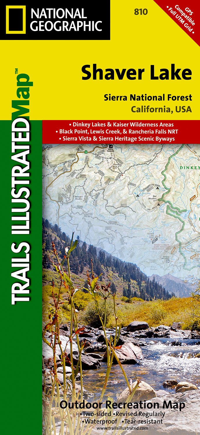
- Shaver Lake - Sierra National Forest CA
- Map No. 810, Shaver Lake / Sierra National Forest, CA, in an extensive series of GPS compatible, contoured hiking maps of USA’s national and state parks or forests and other popular recreational areas. Cartography based on the national topographic survey, with additional tourist information.The maps, with most titles now printed on light,... Leer más
- Also available from:
- The Book Depository, United Kingdom
- De Zwerver, Netherlands

United Kingdom
- Shaver Lake/sierra National Forest
- Trails Illustrated Other Rec. Areas Leer más
Netherlands
- Wandelkaart - Topografische kaart 810 Shaver Lake - Sierra National Forest | National Geographic
- Prachtige geplastificeerde kaart van het bekende nationaal park. Met alle recreatieve voorzieningen als campsites, maar ook met topografische details en wandelroutes ed. Door uitgekiend kleurgebruik zeer prettig in gebruik. Scheur en watervast! Trails Illustrated Shaver Lake / Sierra National Forest is the second of five exciting new maps for... Leer más

United Kingdom
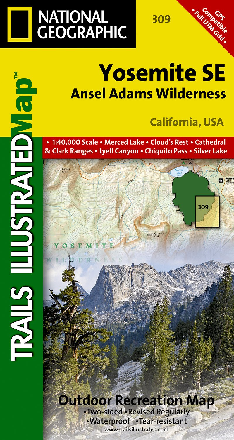
- Yosemite SE - Ansel Adams Wilderness CA
- Map No. 309, Yosemite SE: Ansel Adams Wilderness, CA, in an extensive series of GPS compatible, contoured hiking maps of USA’s national and state parks or forests and other popular recreational areas. Cartography based on the national topographic survey, with additional tourist information.The maps, with most titles now printed on light,... Leer más
- Also available from:
- The Book Depository, United Kingdom
- De Zwerver, Netherlands

United Kingdom
- Yosemite Se, Ansel Adams Wilderness
- Trails Illustrated National Parks Leer más
Netherlands
- Wandelkaart 309 Yosemite SE - Ansel Adams Wilderness | National Geographic
- Prachtige geplastificeerde kaart van het nationaal park. Met alle recreatieve voorzieningen als campsites, maar ook met topografische details en wandelroutes ed. Door uitgekiend kleurgebruik zeer prettig in gebruik. Scheur en watervast! Coverage of the Tuolomne Meadows and Hoover Wilderness area of Yosemite National Park includes Ansel Adams... Leer más
Netherlands
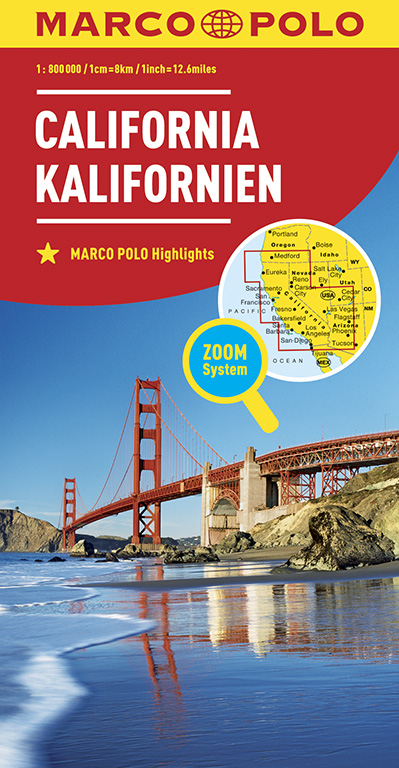
- Wegenkaart - landkaart California - Californië | Marco Polo
- MARCO POLO Länderkarte Kalifornien 1:800 000 ab 11.99 EURO Mit Marco Polo Highlights und Zoom System Marco Polo Karte. 10. Auflage Leer más

United Kingdom
- Mammoth Lakes - Mono Divide CA
- Map No. 809, Mammoth Lakes / Mono Divide, CA, in an extensive series of GPS compatible, contoured hiking maps of USA’s national and state parks or forests and other popular recreational areas. Cartography based on the national topographic survey, with additional tourist information.The maps, with most titles now printed on light, waterproof and... Leer más
- Also available from:
- Bol.com, Netherlands
- Bol.com, Belgium
- De Zwerver, Netherlands

Netherlands
- Mammoth Lakes/mono Divide
- Waterproof Tear-Resistant Topographic MapTrails Illustrated Mammoth Lakes / Mono Divide is the first of five exciting new maps for the California Sierra Nevadas that will combine to form seamless coverage of the high-use National Forest areas between Sequoia / Kings Canyon National Parks and Lake Tahoe. This region contains some of the... Leer más
Belgium
- Mammoth Lakes/mono Divide
- Waterproof Tear-Resistant Topographic MapTrails Illustrated Mammoth Lakes / Mono Divide is the first of five exciting new maps for the California Sierra Nevadas that will combine to form seamless coverage of the high-use National Forest areas between Sequoia / Kings Canyon National Parks and Lake Tahoe. This region contains some of the... Leer más

Netherlands
- Wandelkaart - Topografische kaart 809 Mammoth Lakes - Mono Divide - Inyo and Sierra National Forests | National Geographic
- Prachtige geplastificeerde kaart van het bekende nationaal park. Met alle recreatieve voorzieningen als campsites, maar ook met topografische details en wandelroutes ed. Door uitgekiend kleurgebruik zeer prettig in gebruik. Scheur en watervast! Trails Illustrated Mammoth Lakes / Mono Divide is the first of five exciting new maps for the... Leer más

United Kingdom
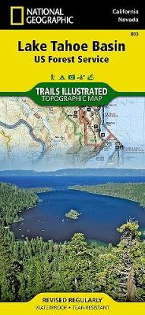
- Lake Tahoe Basin CA NGS Trails Illustrated Map 803
- Map No. 803, Lake Tahoe Basin, CA, in an extensive series of GPS compatible, contoured hiking maps of USA’s national and state parks or forests and other popular recreational areas. Cartography based on the national topographic survey, with additional tourist information.The maps, with most titles now printed on light, waterproof and... Leer más
- Also available from:
- The Book Depository, United Kingdom
- Bol.com, Netherlands
- Bol.com, Belgium
- De Zwerver, Netherlands

Netherlands
- Lake Tahoe Basin
- Waterproof Tear-Resistant Topographic MapThe largest alpine lake in North America, Lake Tahoe straddles the border of California and Nevada. It's unusually clear waters and surrounding Sierra Nevada mountains make it one of the most beautiful lakes in the world. National Geographic's Trails Illustrated map of Lake Tahoe Basin delivers... Leer más
Belgium
- Lake Tahoe Basin
- Waterproof Tear-Resistant Topographic MapThe largest alpine lake in North America, Lake Tahoe straddles the border of California and Nevada. It's unusually clear waters and surrounding Sierra Nevada mountains make it one of the most beautiful lakes in the world. National Geographic's Trails Illustrated map of Lake Tahoe Basin delivers... Leer más

Netherlands
- Wandelkaart - Topografische kaart 803 Lake Tahoe Basin | National Geographic
- Prachtige geplastificeerde kaart van het bekende nationaal park. Met alle recreatieve voorzieningen als campsites, maar ook met topografische details en wandelroutes ed. Door uitgekiend kleurgebruik zeer prettig in gebruik. Scheur en watervast! This Trails Illustrated folded map offers comprehensive coverage of the Lake Tahoe Basin. Lists... Leer más
Netherlands

United Kingdom
- Carson-Iceberg - Emigrant and Mokleumne Wilderness Areas CA
- Map No. 807, Carson-Iceberg / Emigrant / Mokleumne Wilderness Areas, CA, in an extensive series of GPS compatible, contoured hiking maps of USA’s national and state parks or forests and other popular recreational areas. Cartography based on the national topographic survey, with additional tourist information.The maps, with most titles now... Leer más
- Also available from:
- Bol.com, Netherlands
- Bol.com, Belgium

Netherlands
- Carson-iceberg/emigrant/mokleumne Wilderness Areas
- Waterproof Tear-Resistant Topographic MapPart of our exciting new coverage for California's Sierra Nevada, our Carson-Iceberg, Emigrant and Mokelumne Wilderness Trails Illustrated map details the high use recreation areas of Stanislaus and Humboldt-Toiyabe National Forests from Yosemite National Park north to Caples Lake and Markleeville.... Leer más
Belgium
- Carson-iceberg/emigrant/mokleumne Wilderness Areas
- Waterproof Tear-Resistant Topographic MapPart of our exciting new coverage for California's Sierra Nevada, our Carson-Iceberg, Emigrant and Mokelumne Wilderness Trails Illustrated map details the high use recreation areas of Stanislaus and Humboldt-Toiyabe National Forests from Yosemite National Park north to Caples Lake and Markleeville.... Leer más
Netherlands
2017

United Kingdom
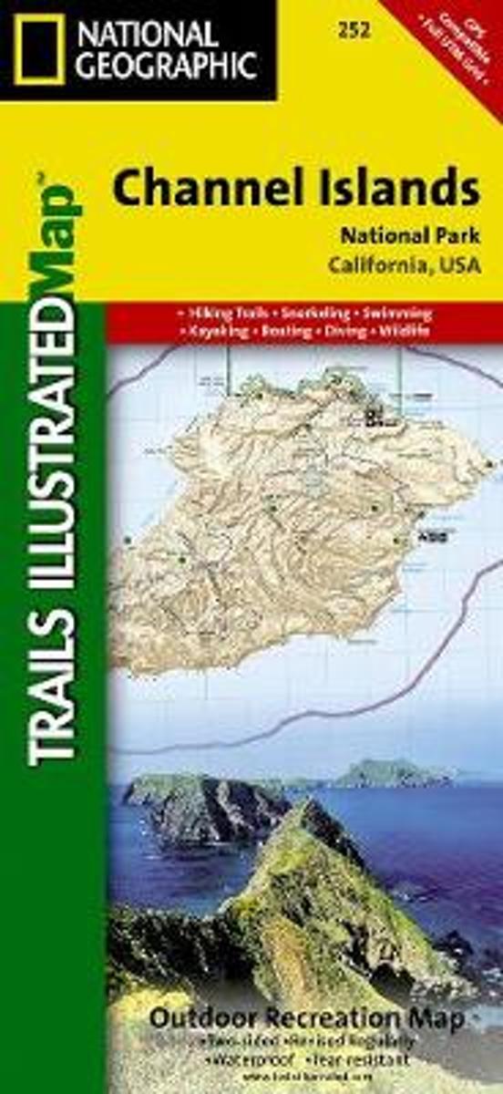
- Channel Islands National Park CA NGS Trails Illustrated Map 252
- Map No. 252, Channel Islands National Parkin California, at 1:25,000/1:50,000 in an extensive series of GPS compatible, contoured hiking maps of USA’s national and state parks or forests and other popular recreational areas. Cartography based on the national topographic survey, with additional tourist information.The maps, with most titles now... Leer más
- Also available from:
- Bol.com, Netherlands
- Bol.com, Belgium
Netherlands
- Channel Islands National Park
- Waterproof Tear-Resistant Topographic MapThis two-sided map includes San Miguel Island, Santa Rosa Island, Santa Cruz Island, Santa Barbara Island, and Anacapa Island. The map combines beautiful cartography that shows the topology and natural features of each island, along with hiking trails, camping spots, rest areas, notable ship... Leer más
Belgium
- Channel Islands National Park
- Waterproof Tear-Resistant Topographic MapThis two-sided map includes San Miguel Island, Santa Rosa Island, Santa Cruz Island, Santa Barbara Island, and Anacapa Island. The map combines beautiful cartography that shows the topology and natural features of each island, along with hiking trails, camping spots, rest areas, notable ship... Leer más
Netherlands
2019
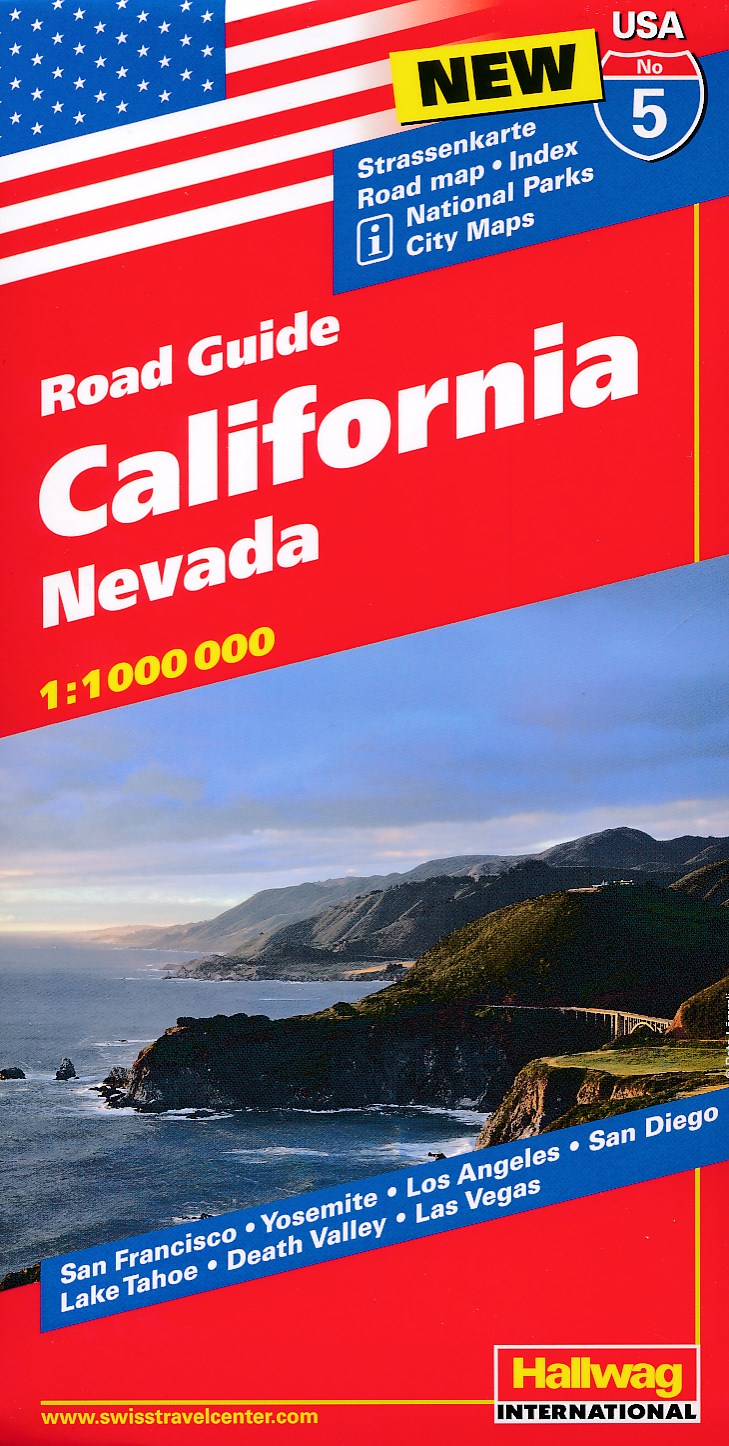
- Wegenkaart - landkaart 05 Californië, California - Nevada | Hallwag
- Hallwag USA Road Guide 05. California 1 : 1 000 000 ab 11.95 EURO Nevada. Straßenkarte. Road map. Index. National Parks. City Maps: San Francisco, Yosemite, Los Angeles, San Diego, Lake Tahoe, Death Valley, Las Vegas Hallwag USA Road Guide. Neuauflage, Laufzeit bis 2022 Leer más
Netherlands

United Kingdom
- Mount Whitney CA NGS Trails Illustrated Map 322
- Map No. 322, Mount Whitney in California at 1:40,000, in an extensive series of GPS compatible, contoured hiking maps of USA’s national and state parks or forests and other popular recreational areas. Cartography is based on the national topographic survey, with additional tourist information.The maps, with most titles now printed on light,... Leer más
- Also available from:
- Bol.com, Netherlands
- Bol.com, Belgium

Netherlands
- Mount Whitney
- Waterproof Tear-Resistant Topographic MapMount Whitney is universally famous as the highest mountain in the United State outside of Alaska, as well as the highest point in California. National Geographic's Trails Illustrated map of Mount Whitney is a two-sided, waterproof map designed to meet the needs of Whitney visitors with unmatched... Leer más
Belgium
- Mount Whitney
- Waterproof Tear-Resistant Topographic MapMount Whitney is universally famous as the highest mountain in the United State outside of Alaska, as well as the highest point in California. National Geographic's Trails Illustrated map of Mount Whitney is a two-sided, waterproof map designed to meet the needs of Whitney visitors with unmatched... Leer más